What's up with the never ending sheen in Montlimar Creek?
The good news is, after three complaints, finally an ADEM official and a Coast Guard official got together this morning and investigated the petroleum sheen in Montlimar Creek, which might also be called Wragg Swamp Creek, Eslava Creek or Canal 1, or Bolton Branch.
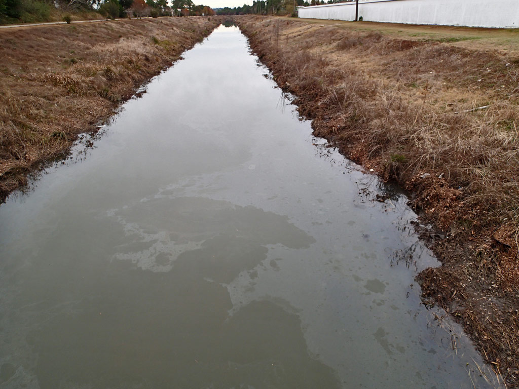
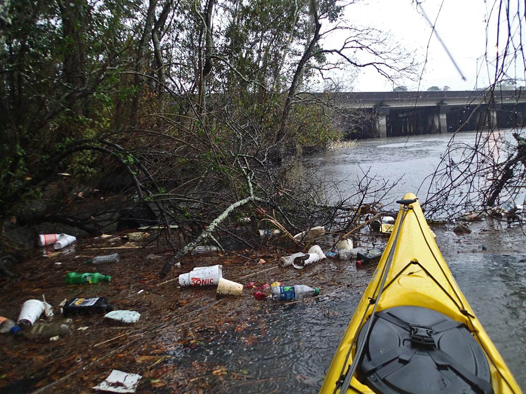
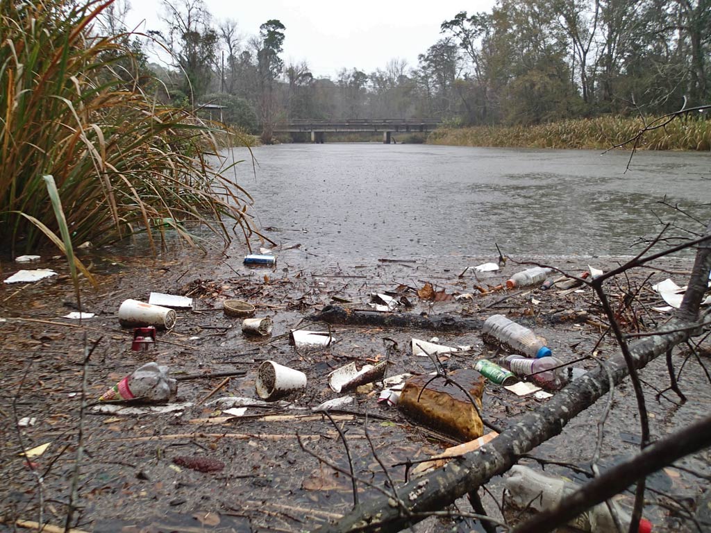
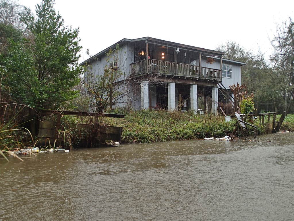
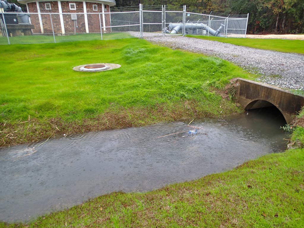
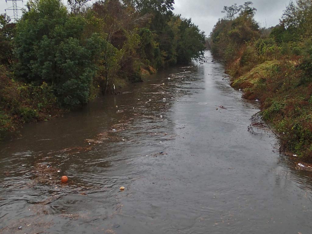
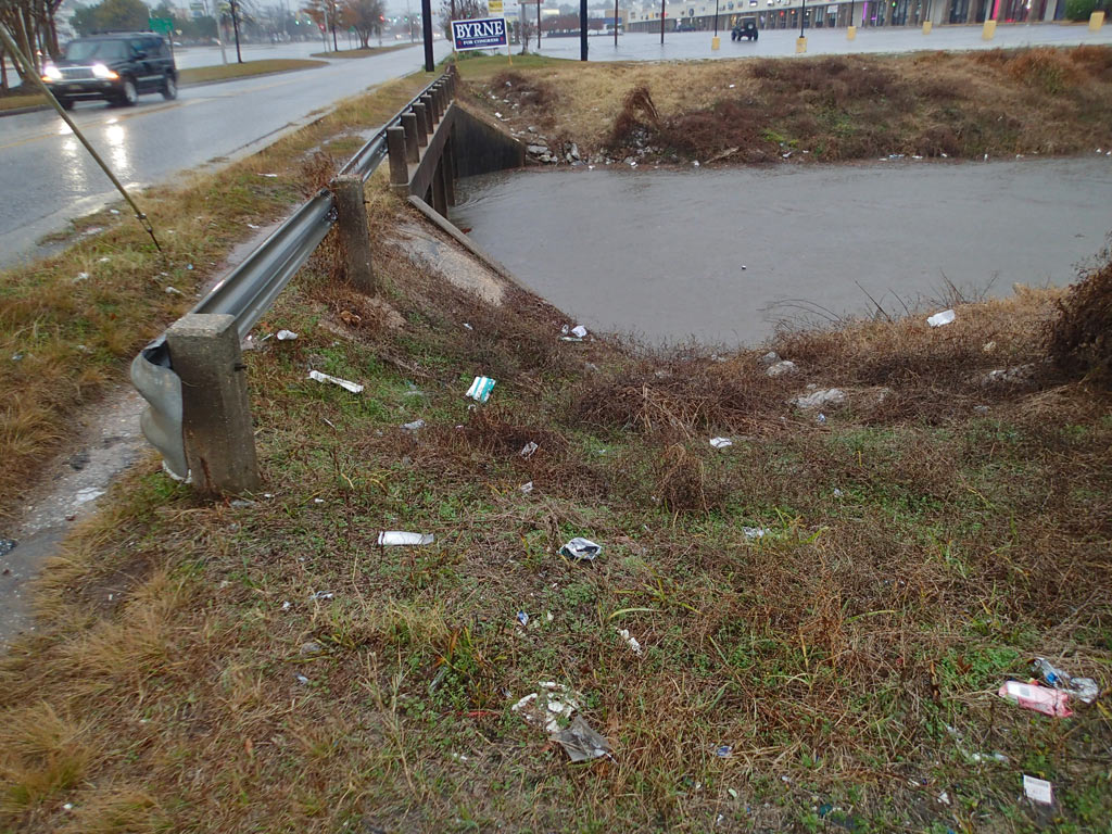
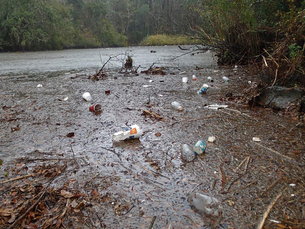
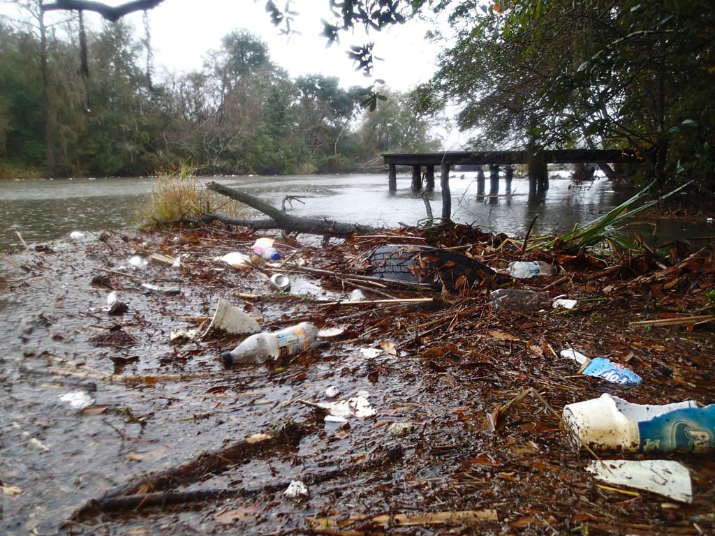
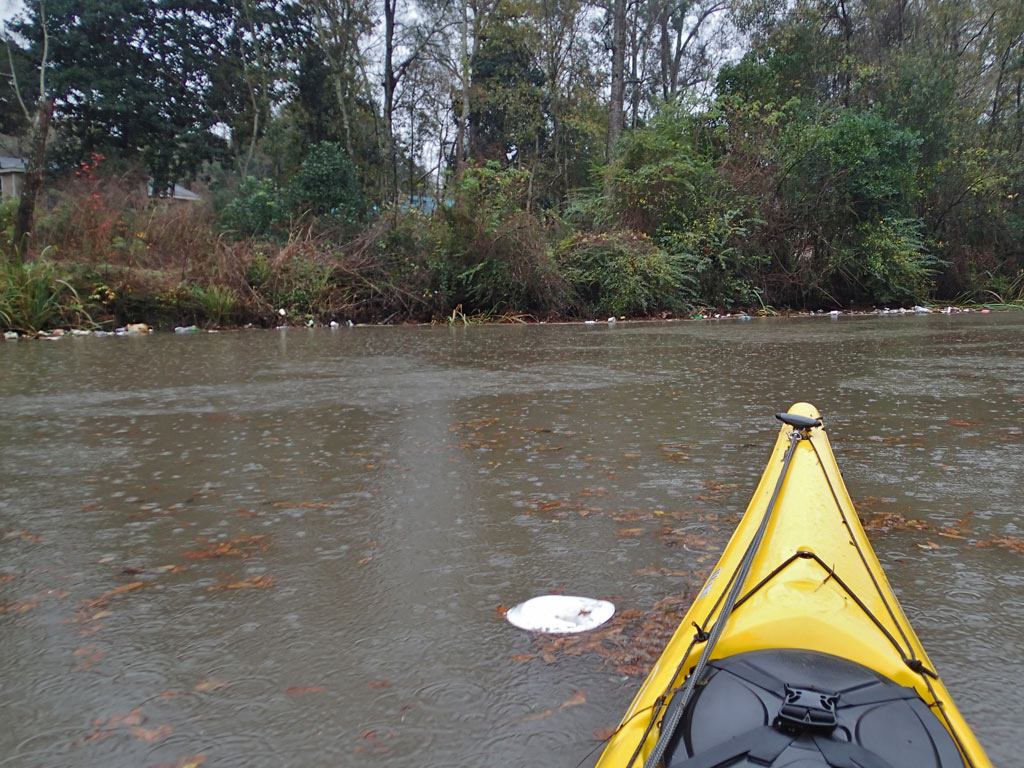
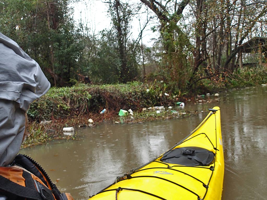
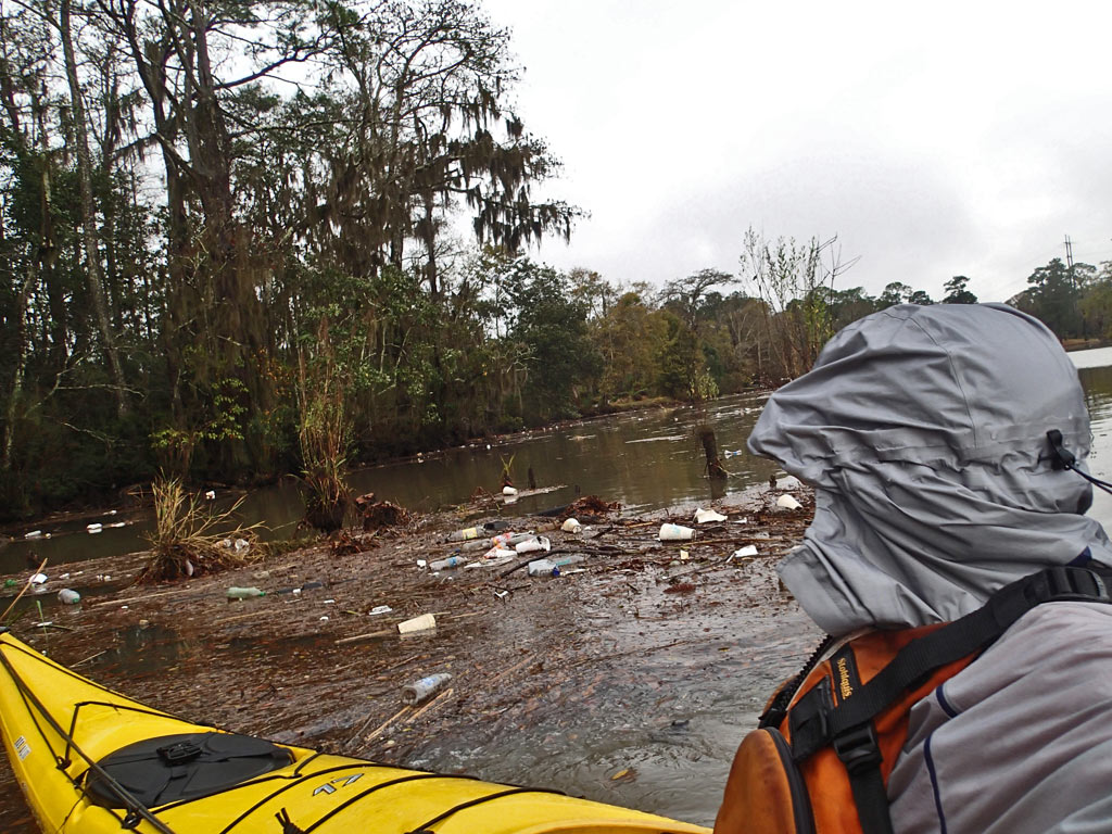
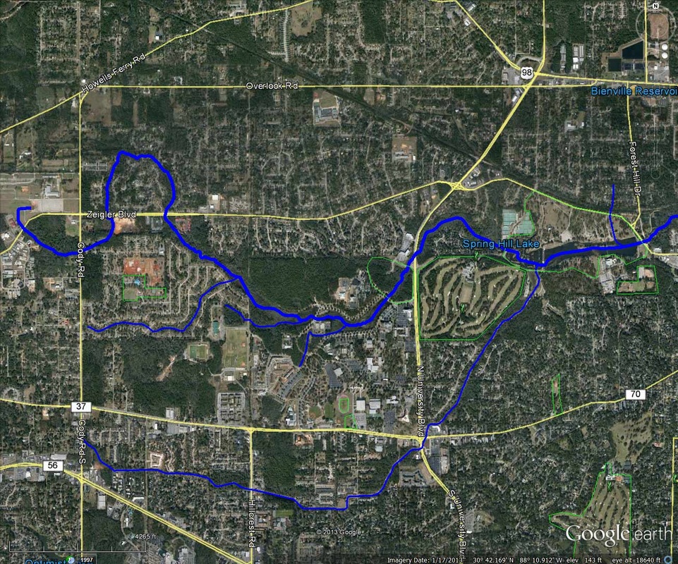
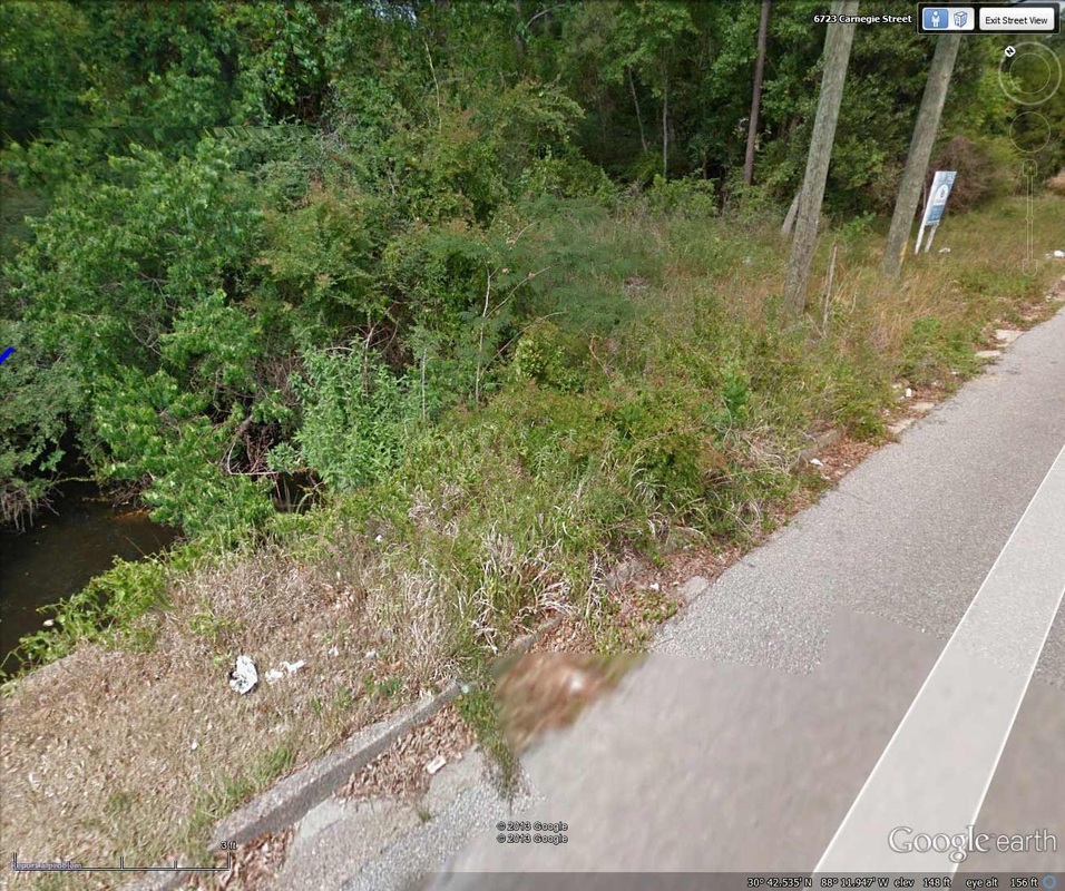
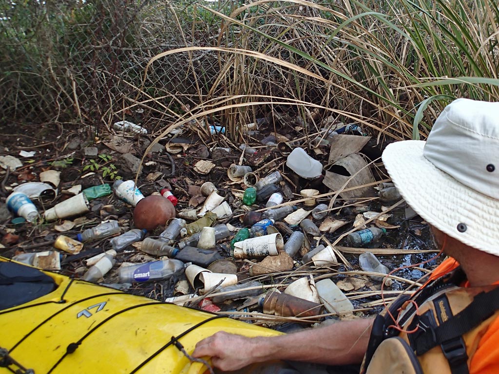
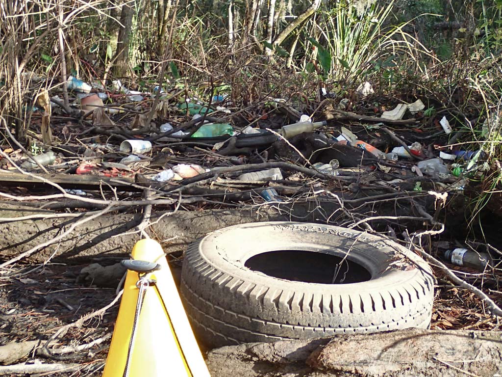
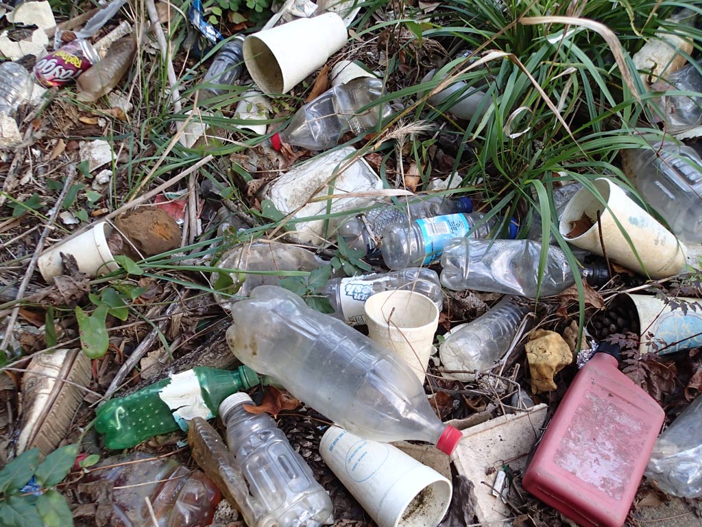
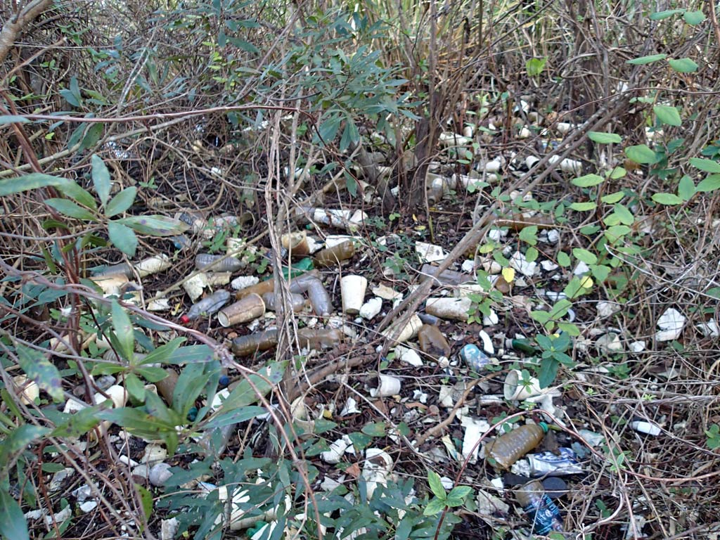
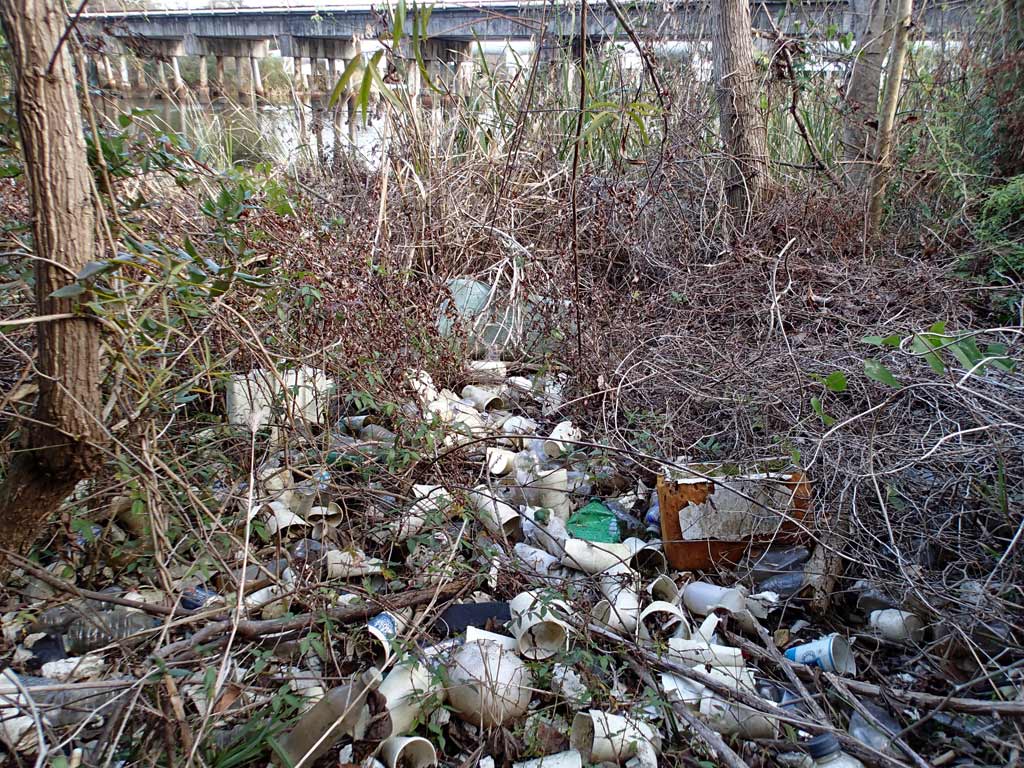
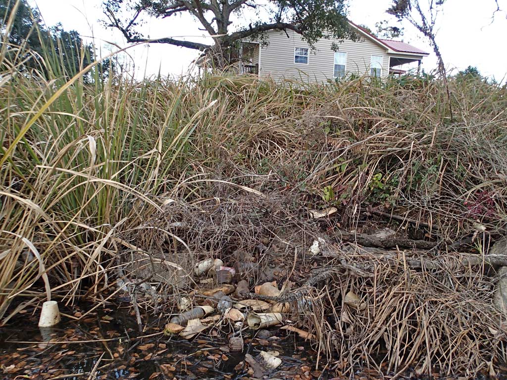
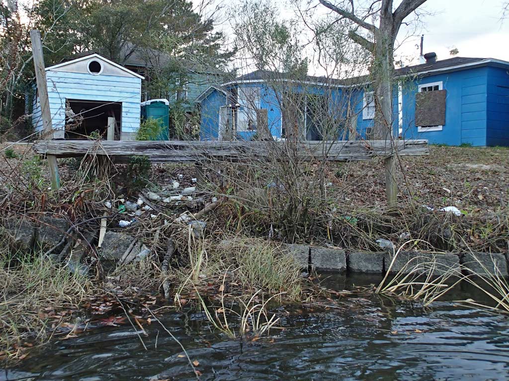
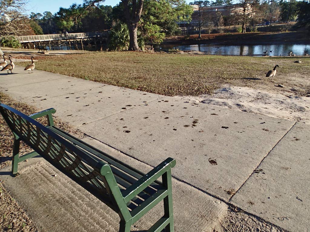
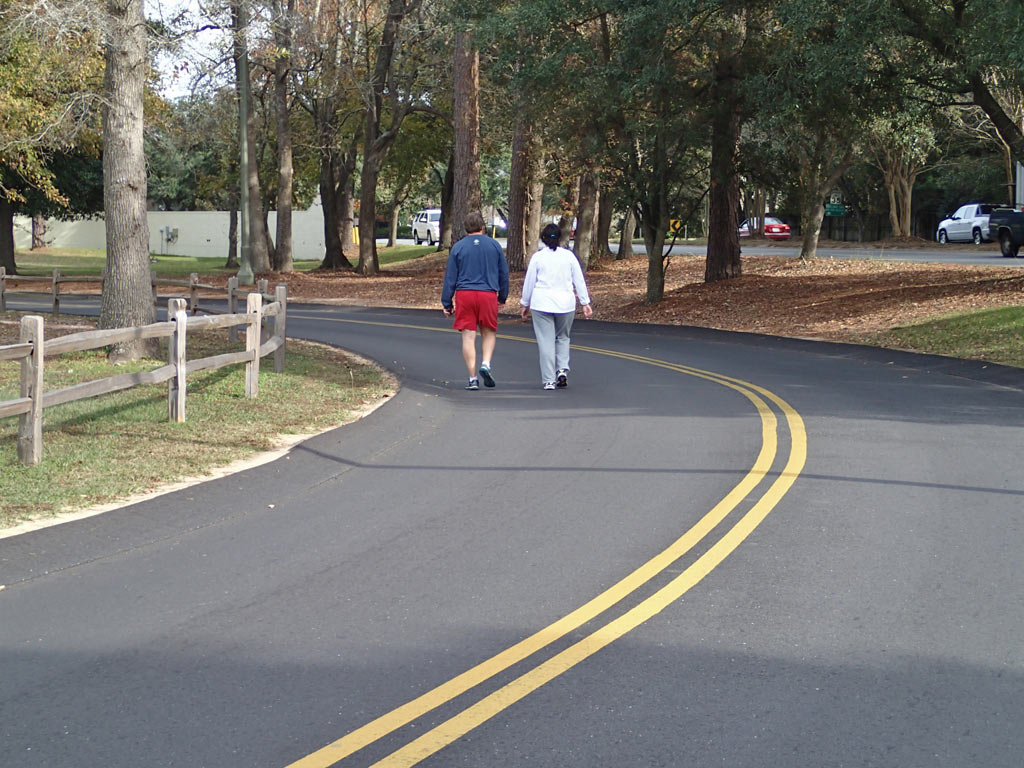
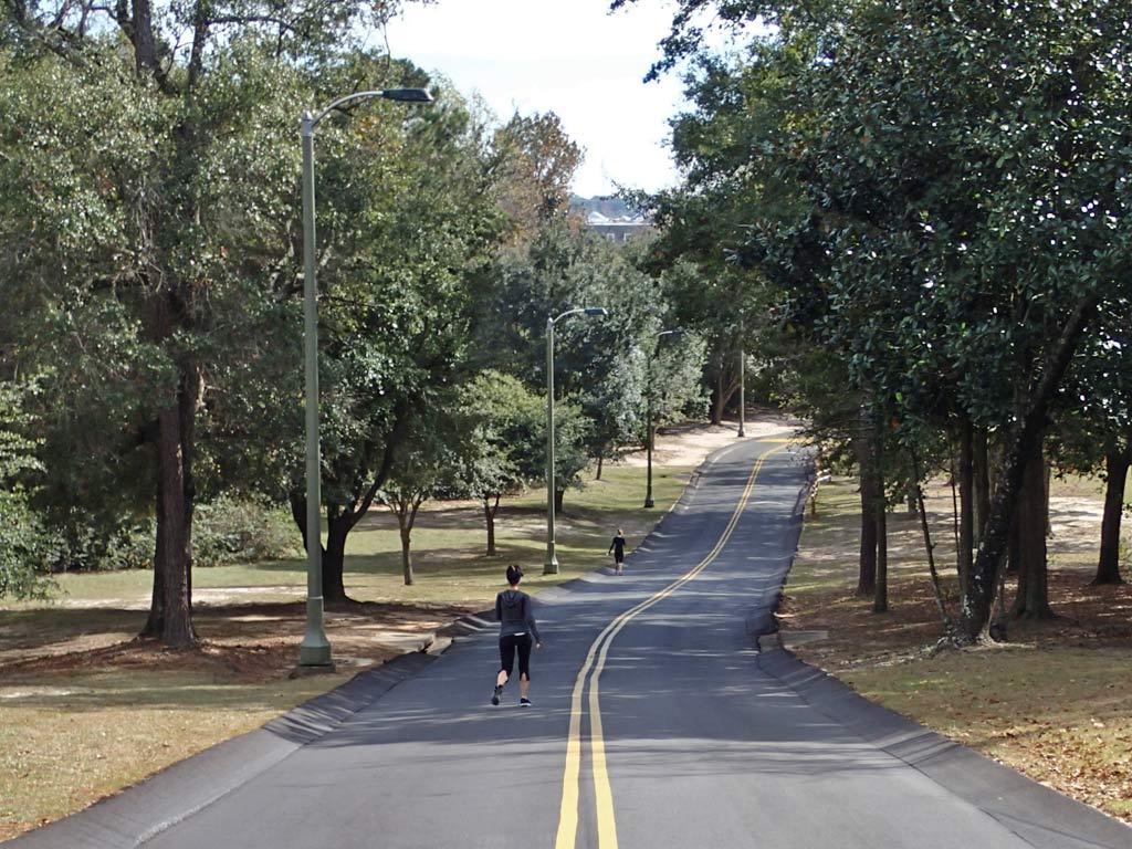
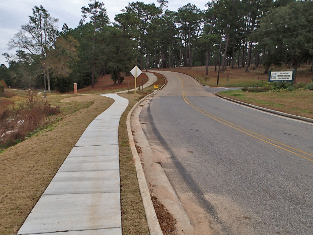
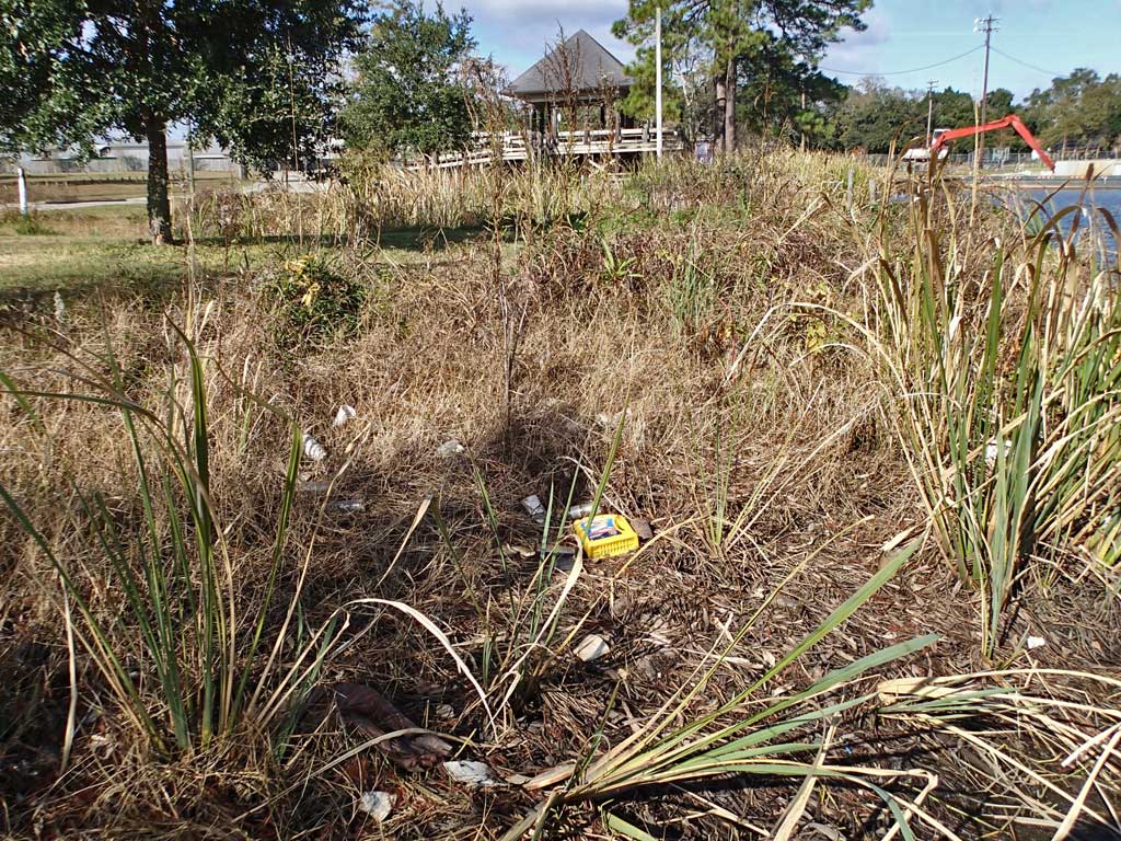
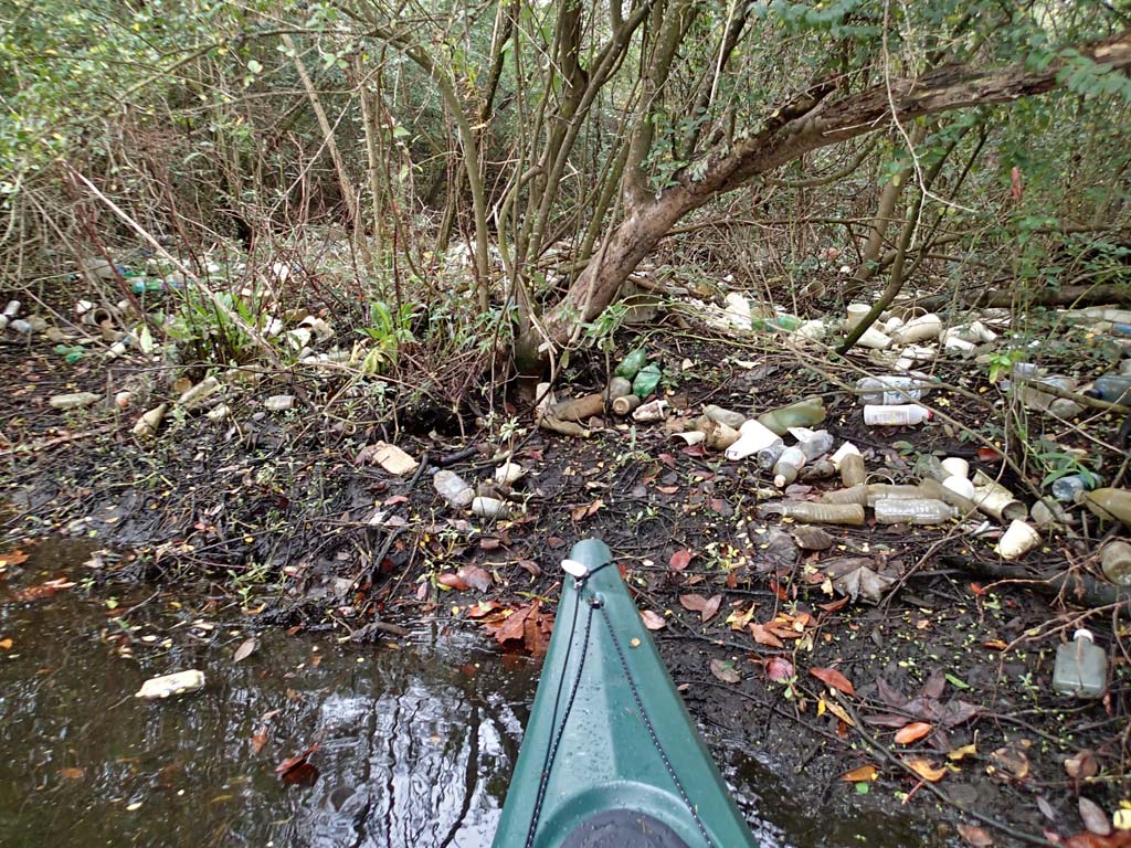
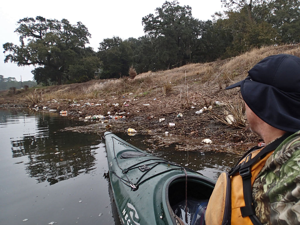
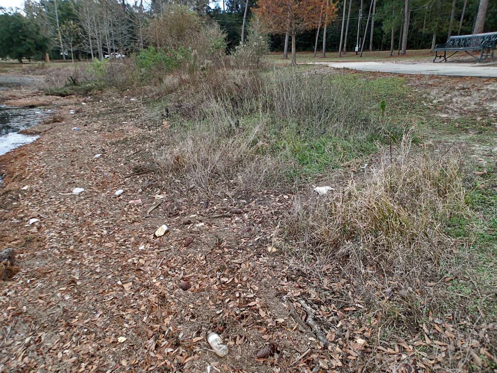
Sidenote: When it comes to the names of waterways, it appears many existing waterways haven't been born yet because they have no name other than, "Unnamed Tributary." City calls some creeks one thing. State may call it another. Then internet mapping misspells creek names adding to the confusion. Call it what you want, this is the City of Mobile straight line drainage canal west of Interstate I-65 that connects to Moore Creek and eventually Dog River. Montlimar Fitness Trail runs along side Montlimar Creek. It was while riding that trail when I discovered the smell of petroleum and saw the sheen back on December 1st.
The bad news is, after talking with the ADEM official, I learned their investigation turned up nothing. They could not find the source of the pollution. There is always a source to pollution.
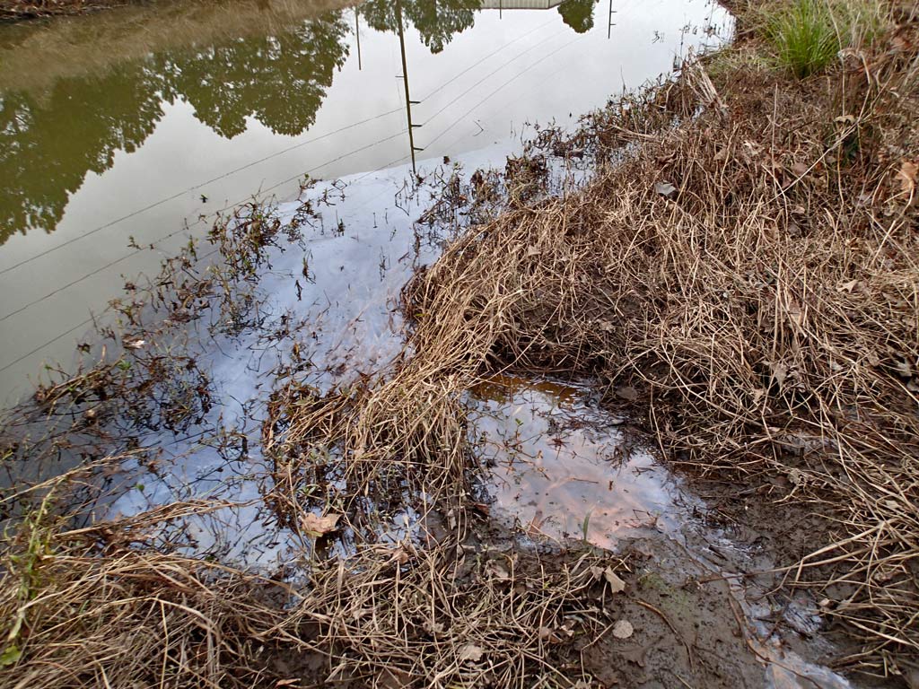
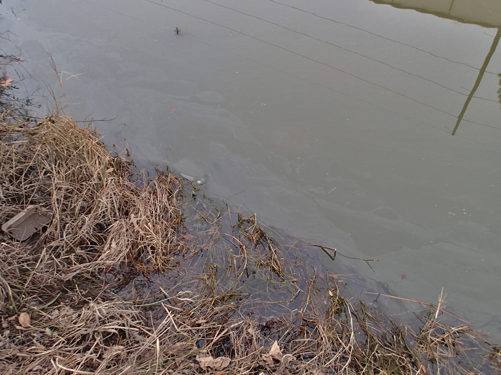
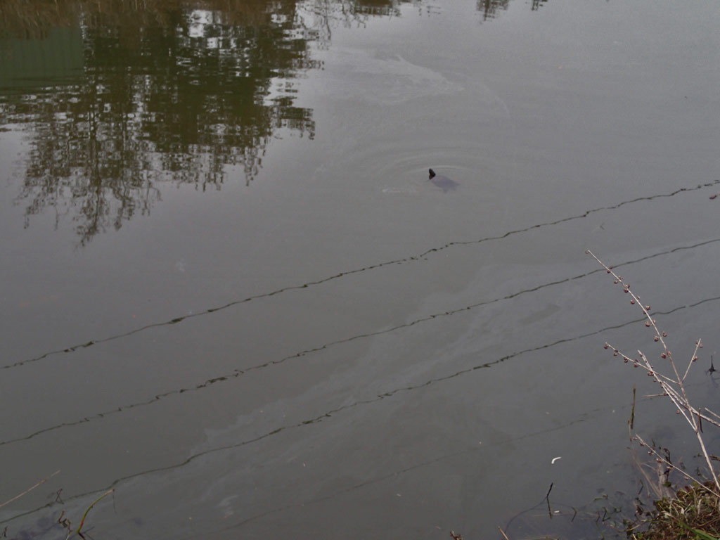
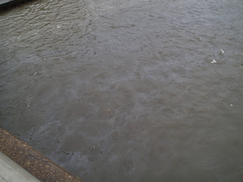
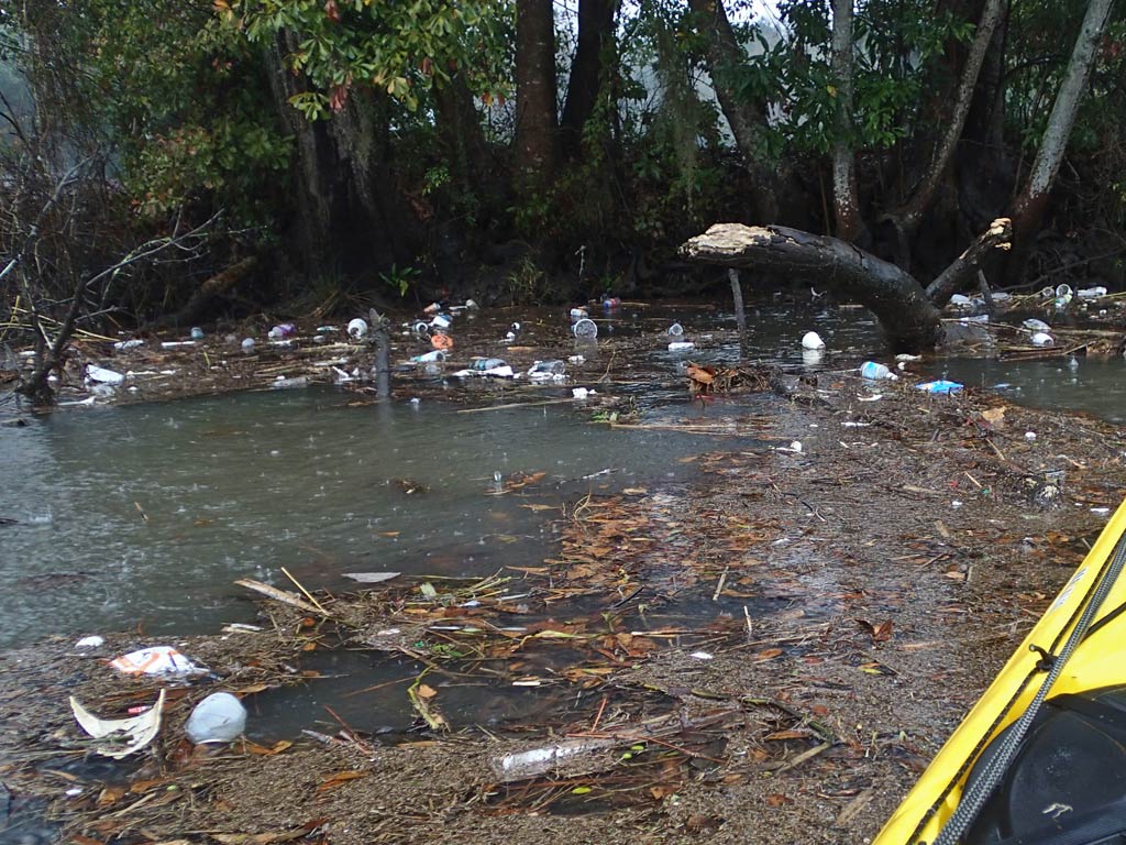
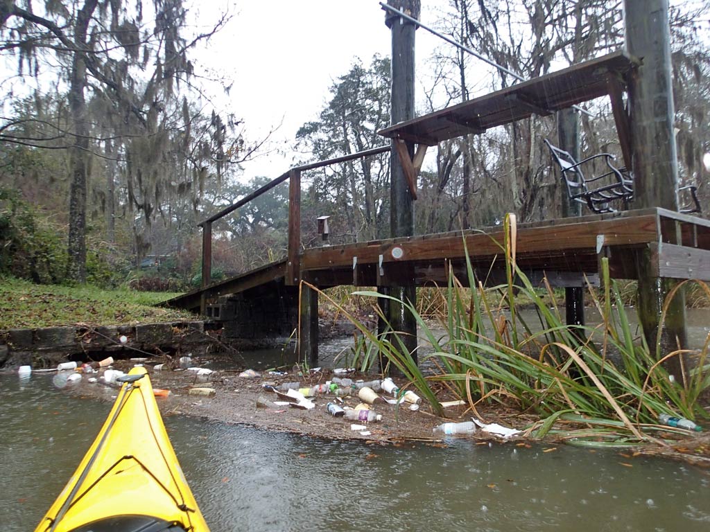
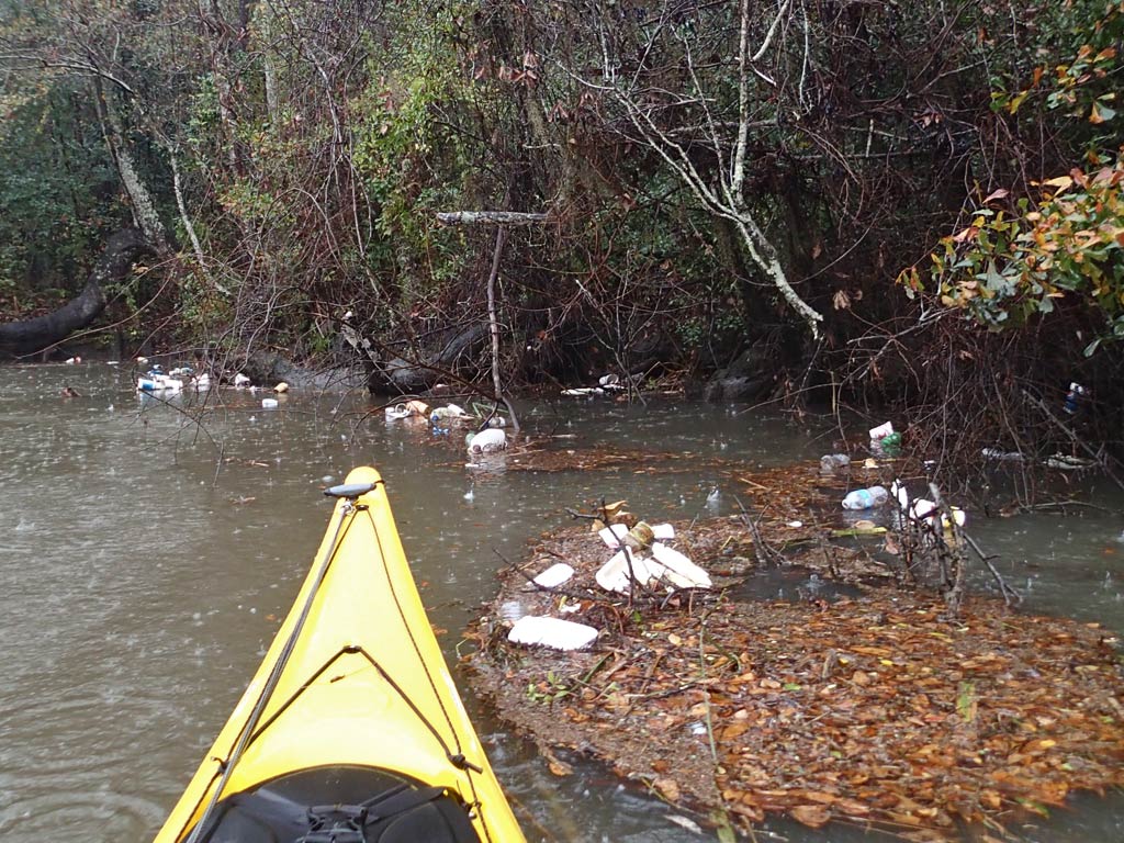
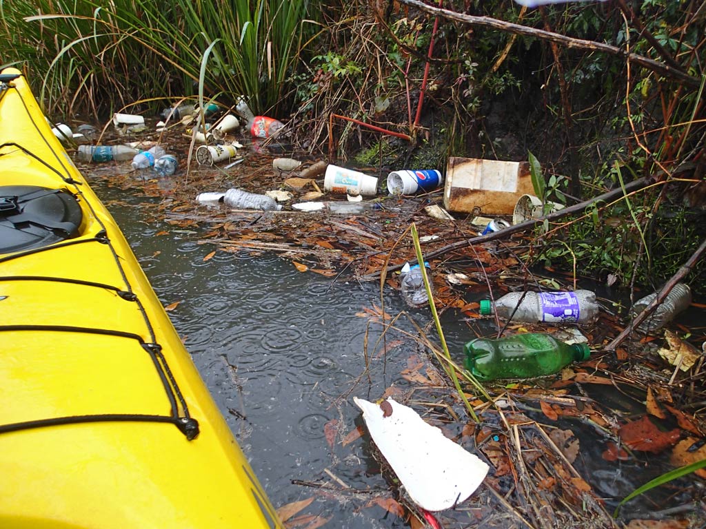
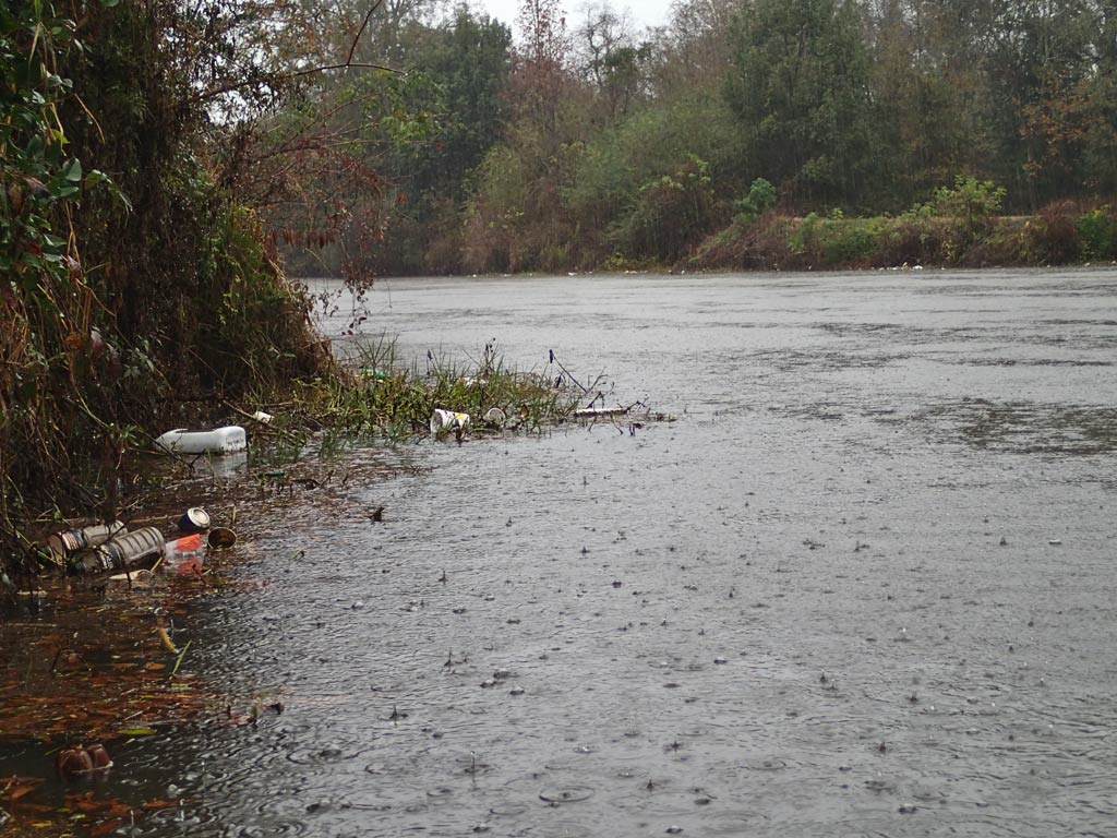
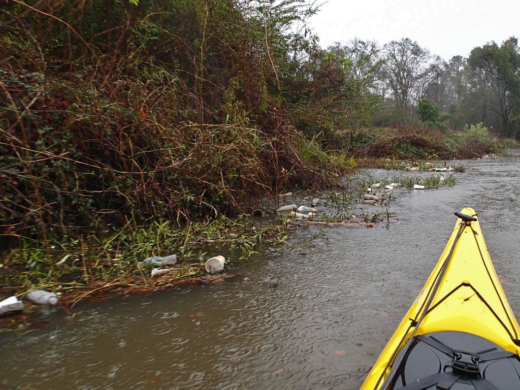
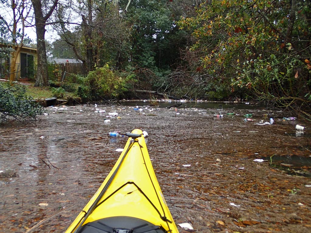
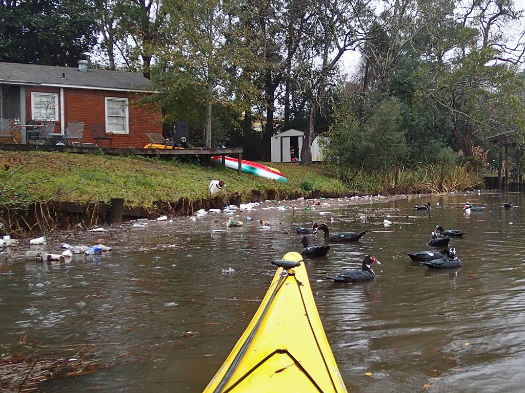
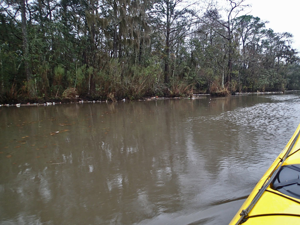
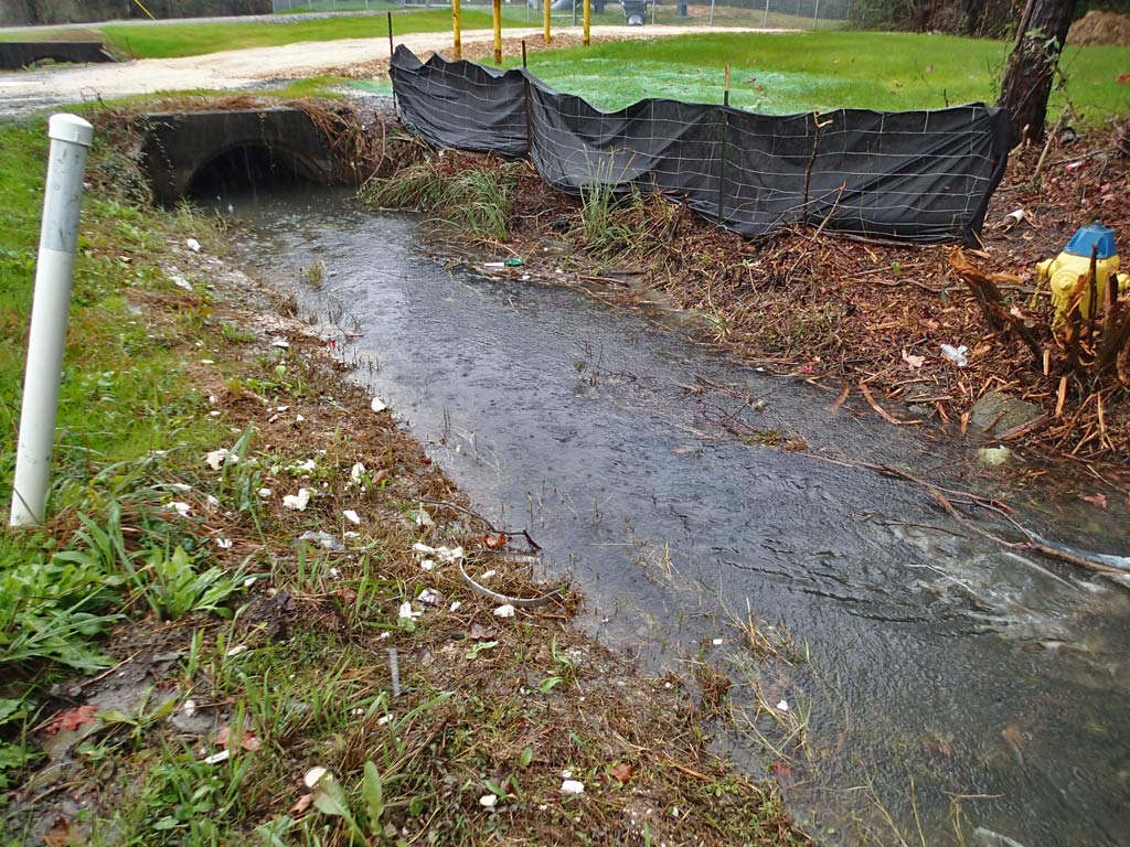
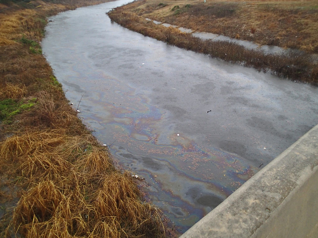
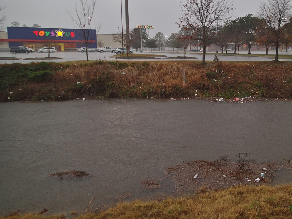
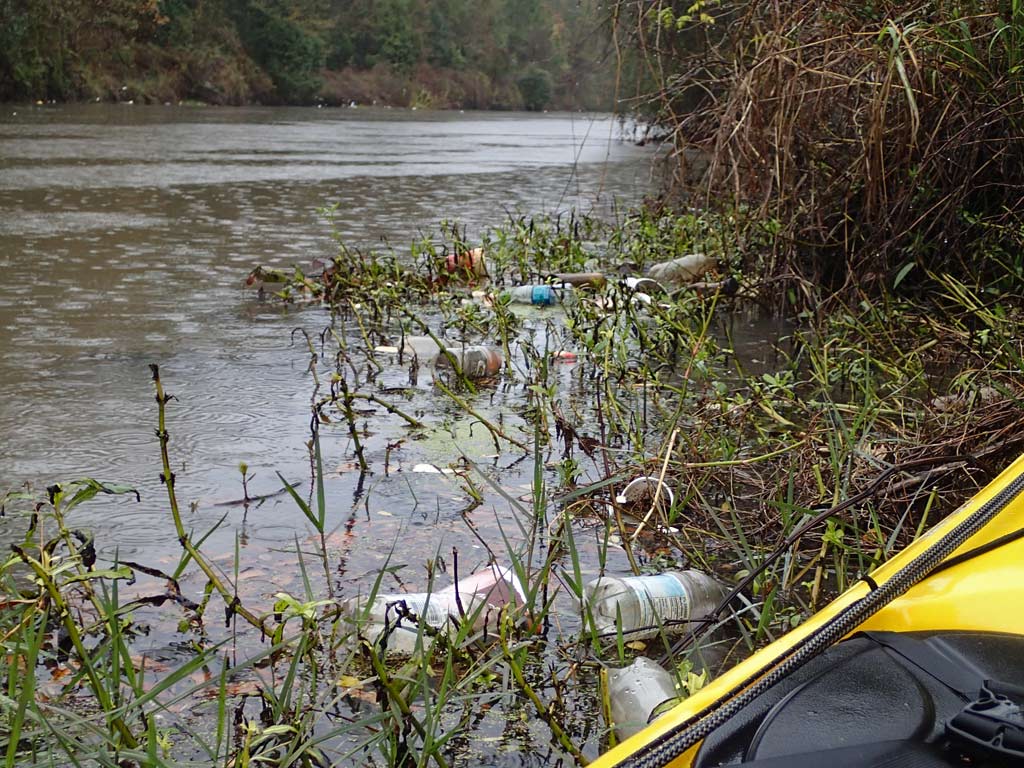
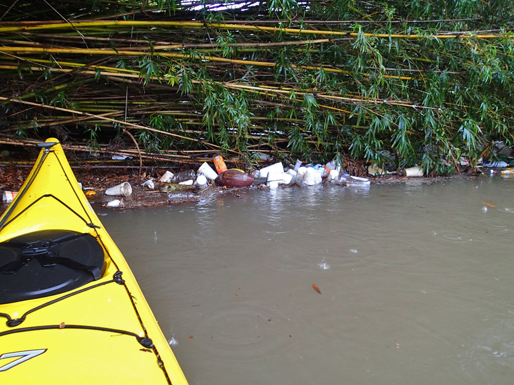
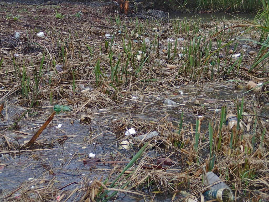
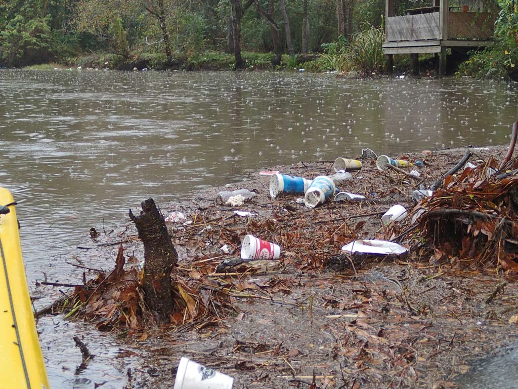
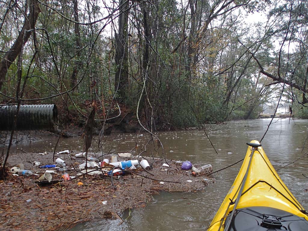
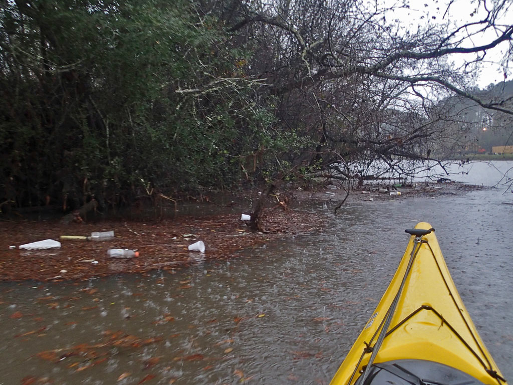
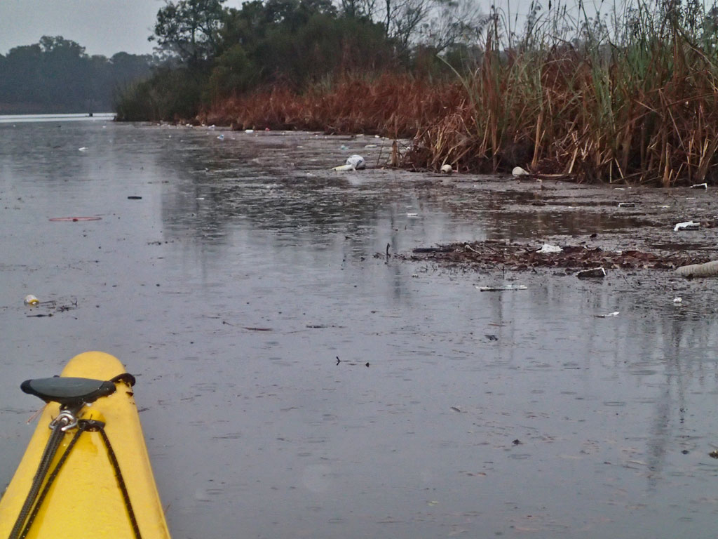
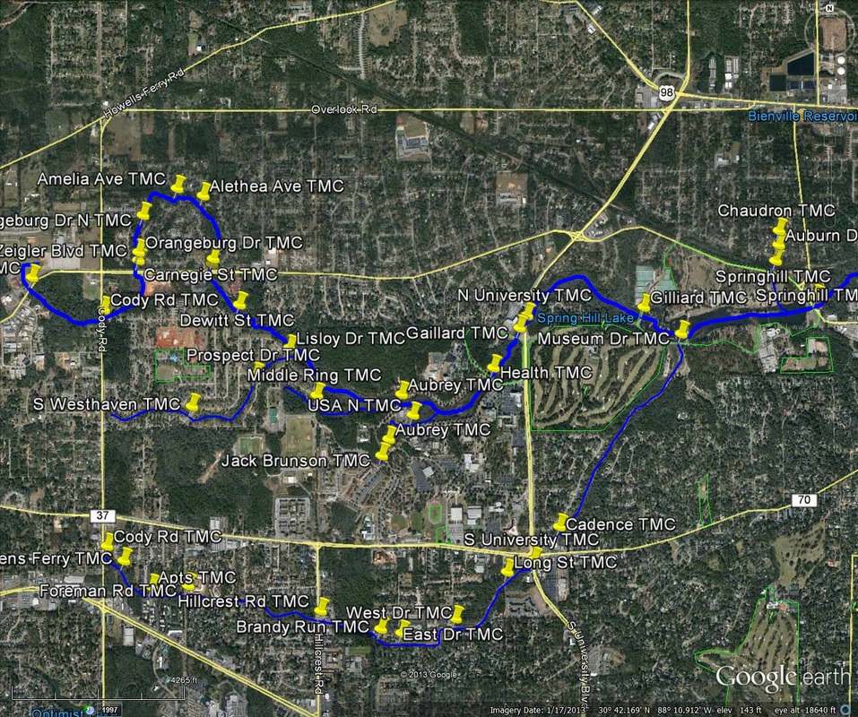
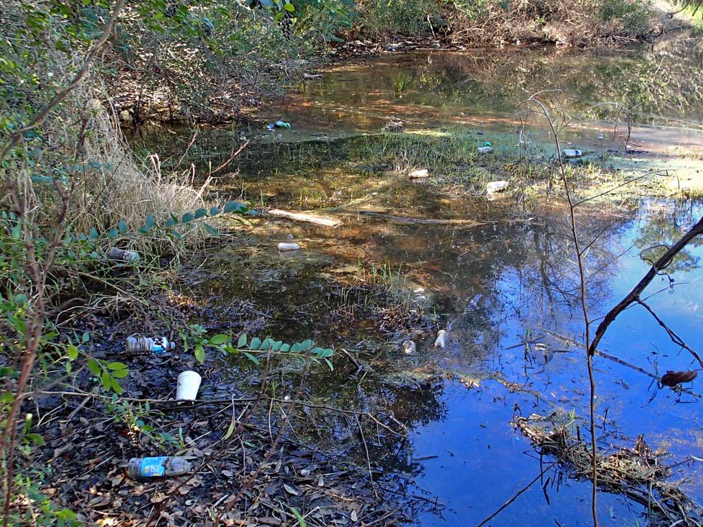
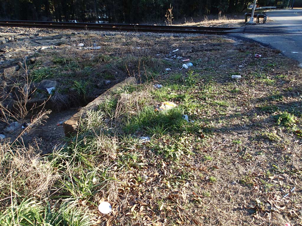
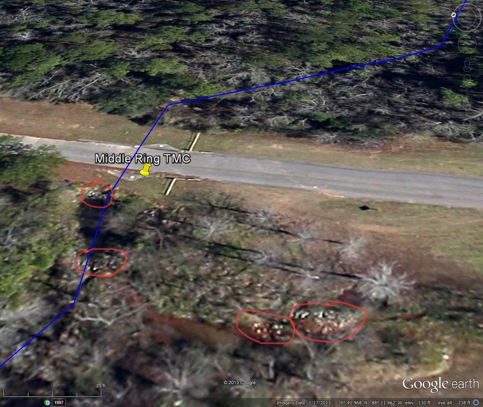
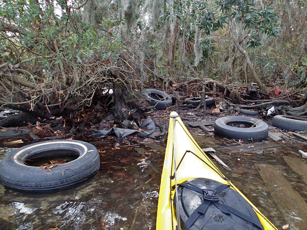
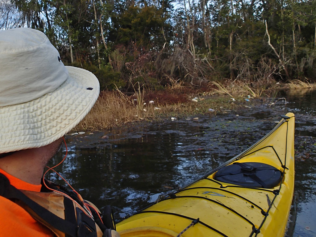
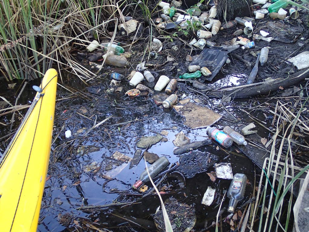
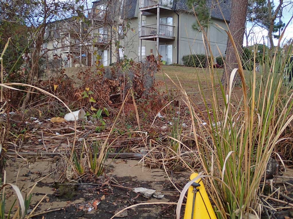
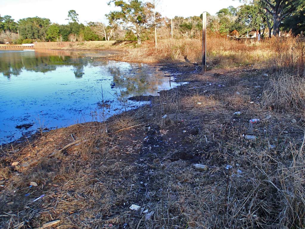
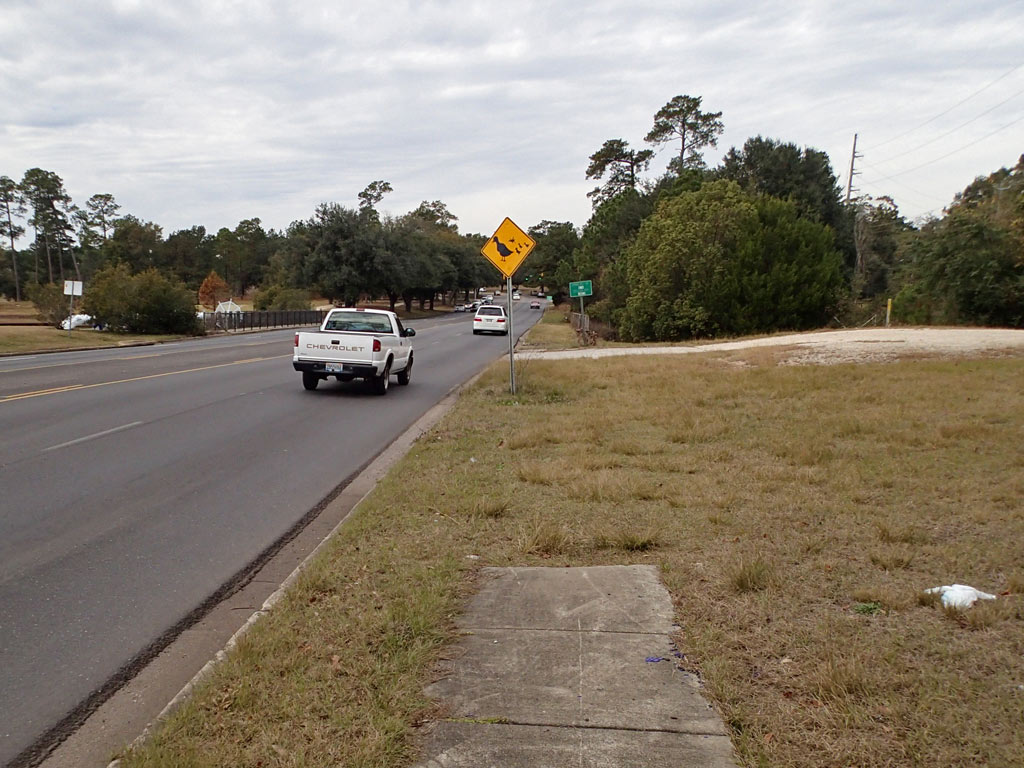
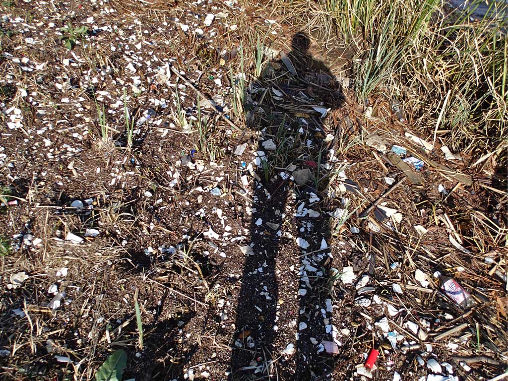
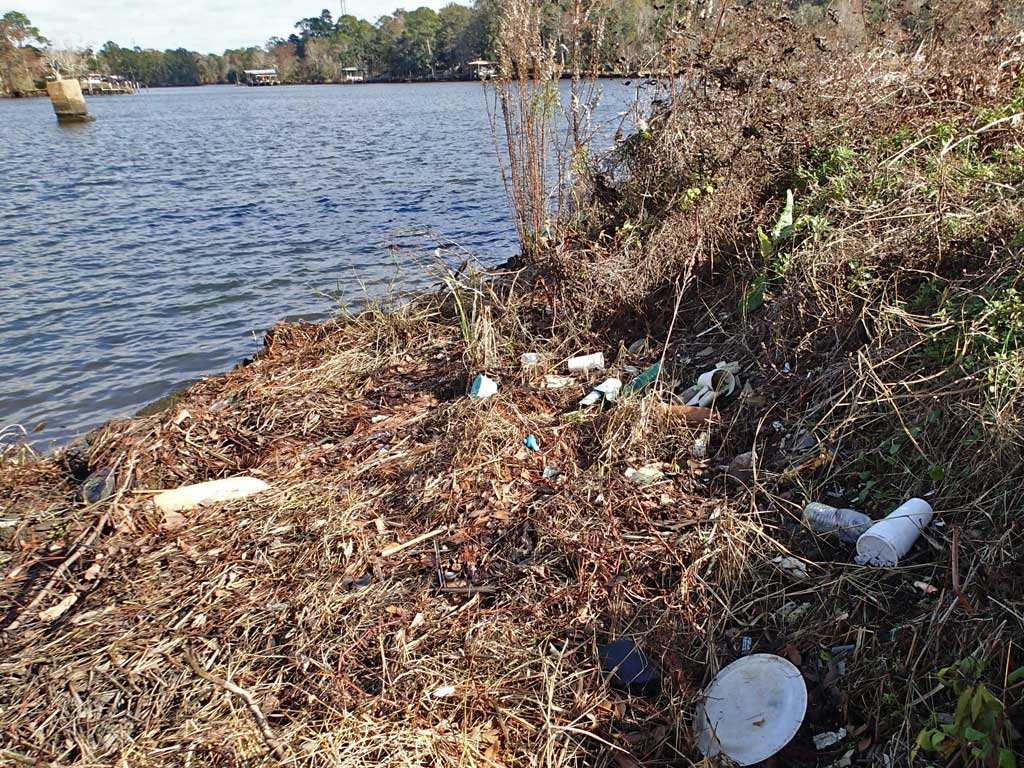
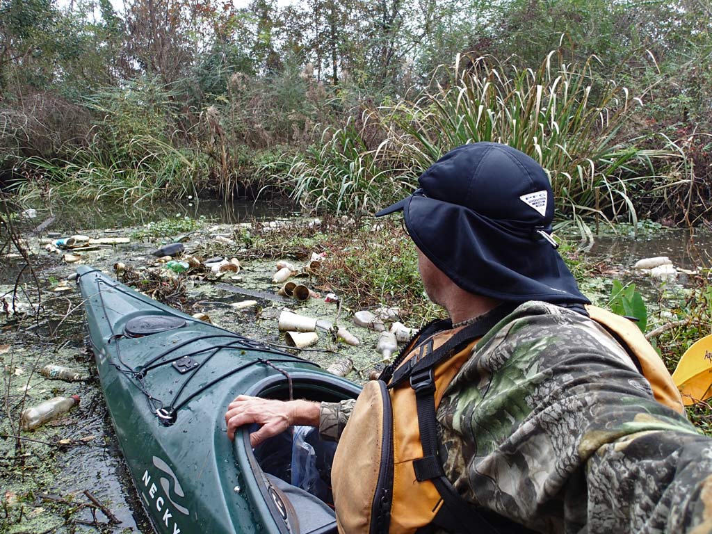
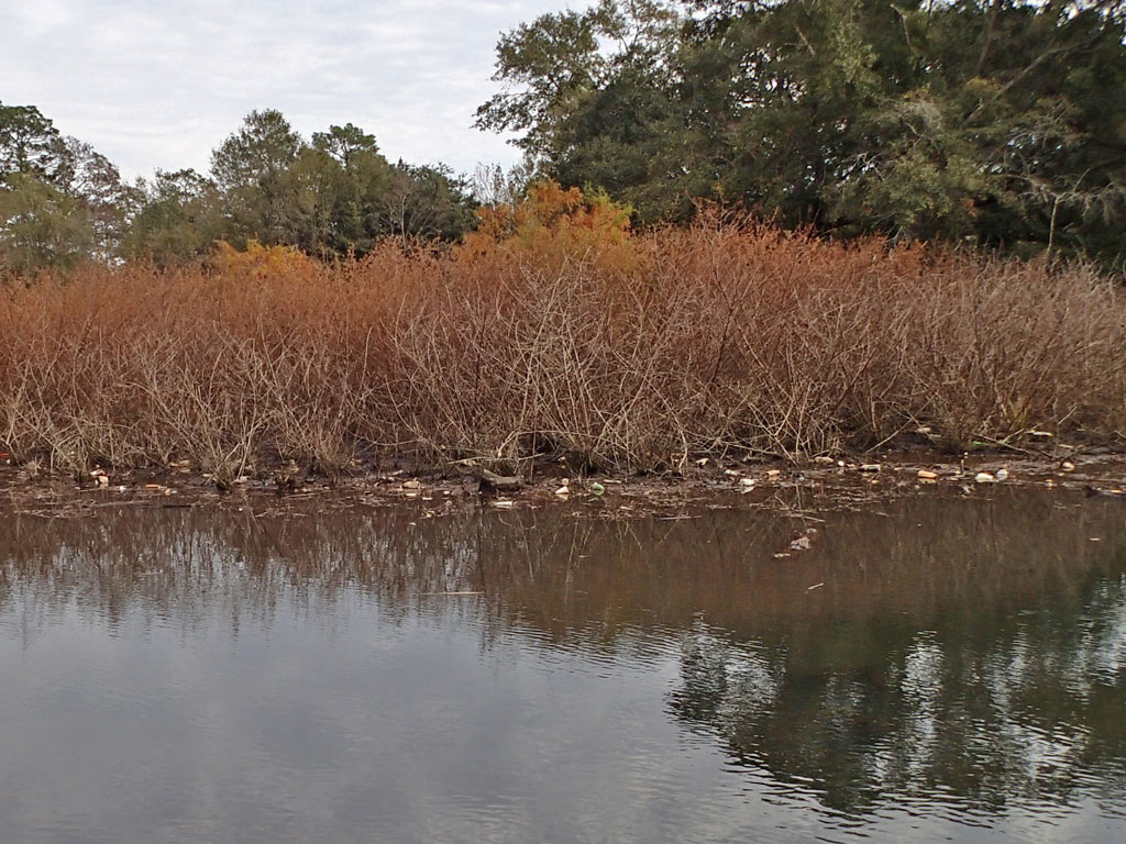
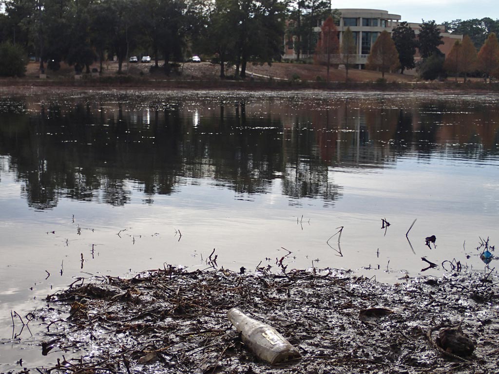
So I went up to Montlimar Creek this afternoon to do my own hunt. The sheen was still visible at Michael Blvd but not at Airport Blvd - same as before. The source has to be somewhere between the two bridges which are about a mile apart. It took walking through about half a mile of thick shoreline weeds and muddy ground until I found where the sheen started appearing along the shoreline. For those interested, I mapped out the location where the sheen started appearing here: Google Map
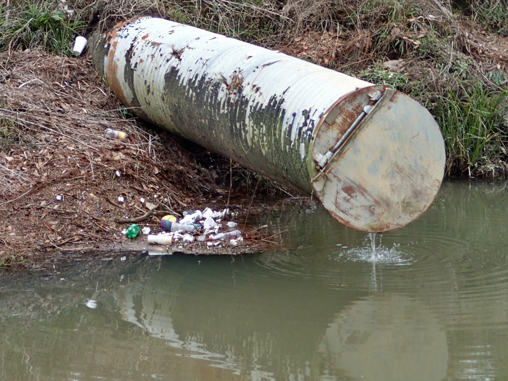
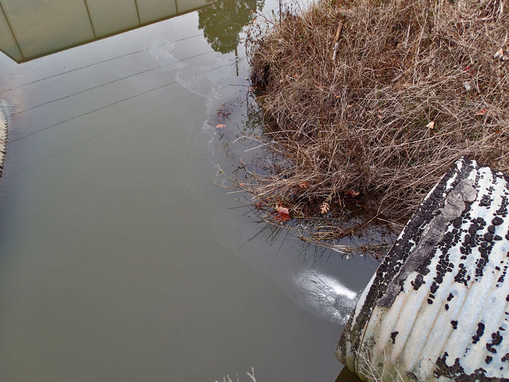
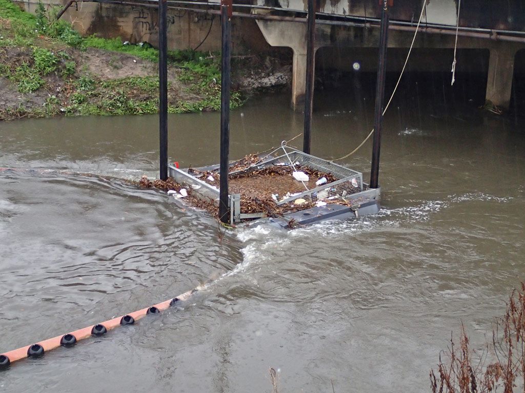
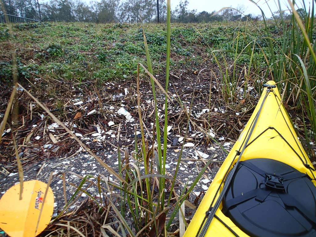
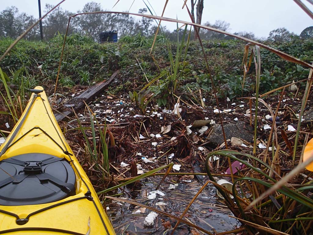
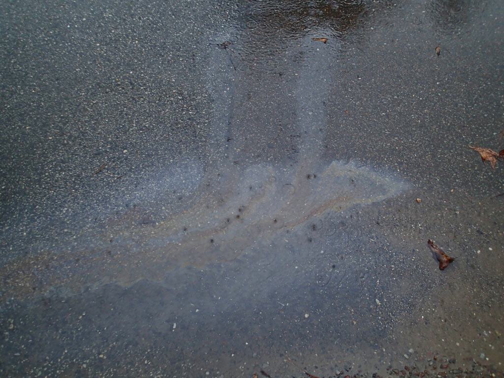
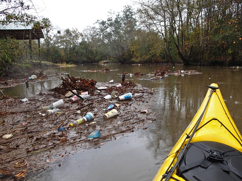
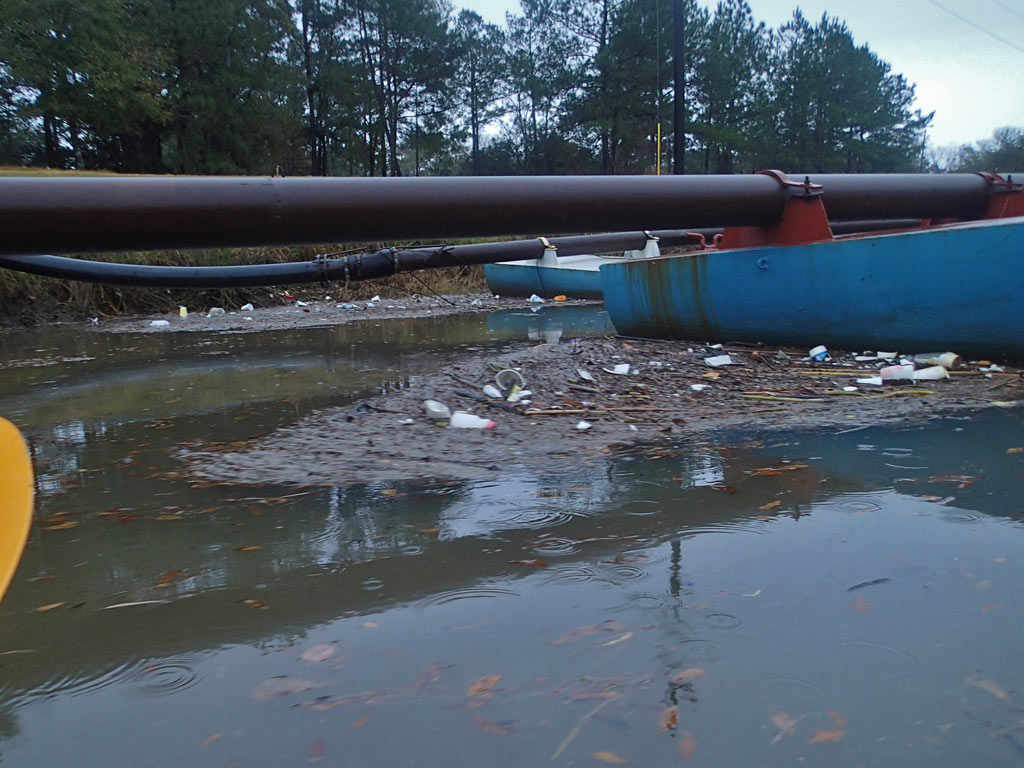
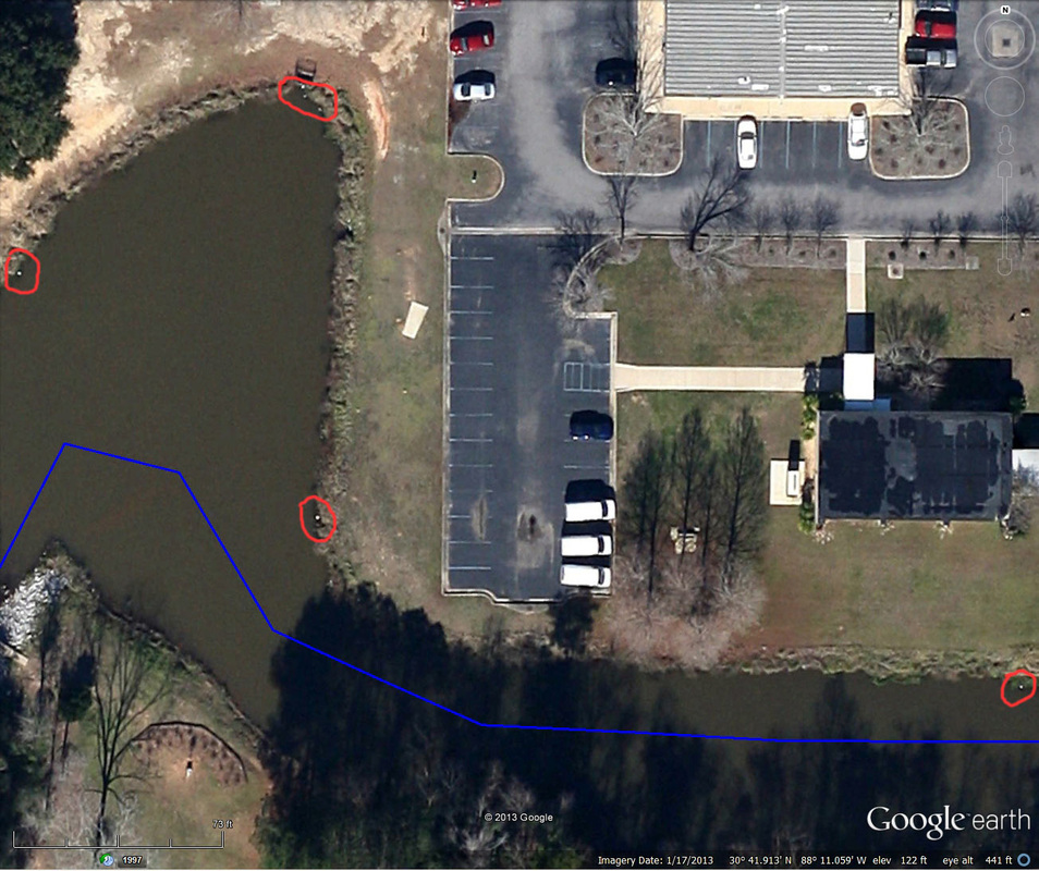
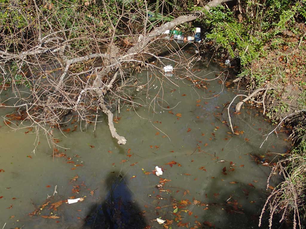
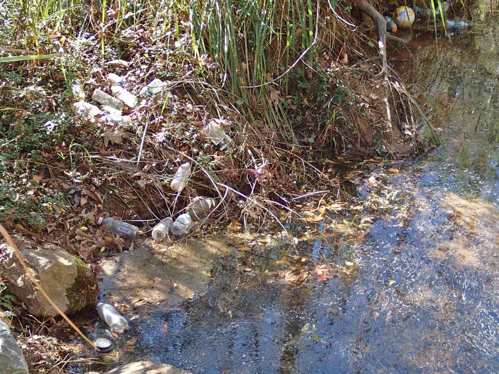
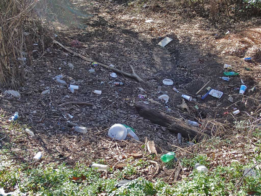
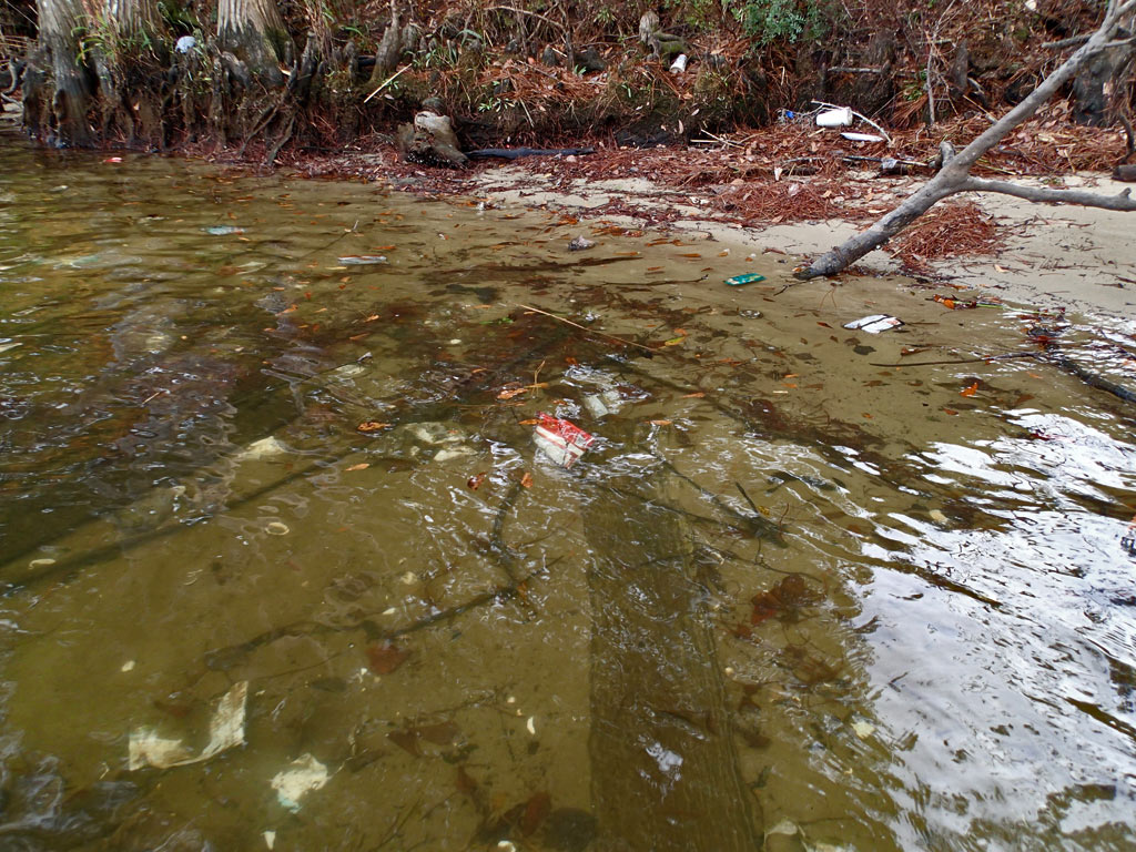
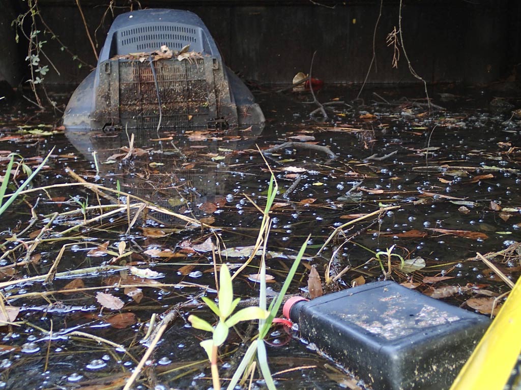
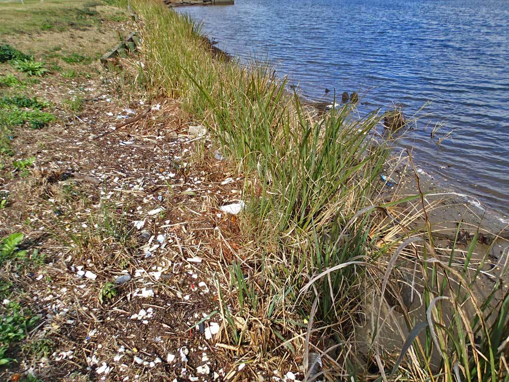
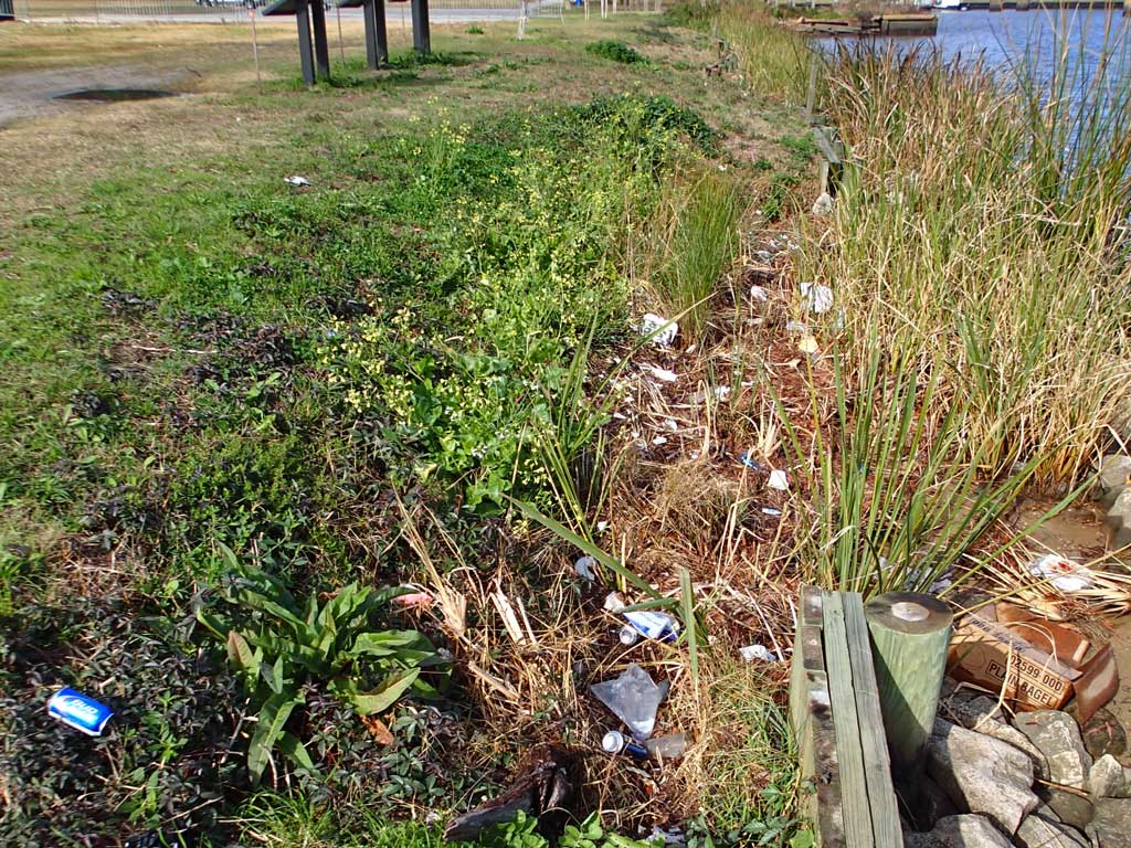
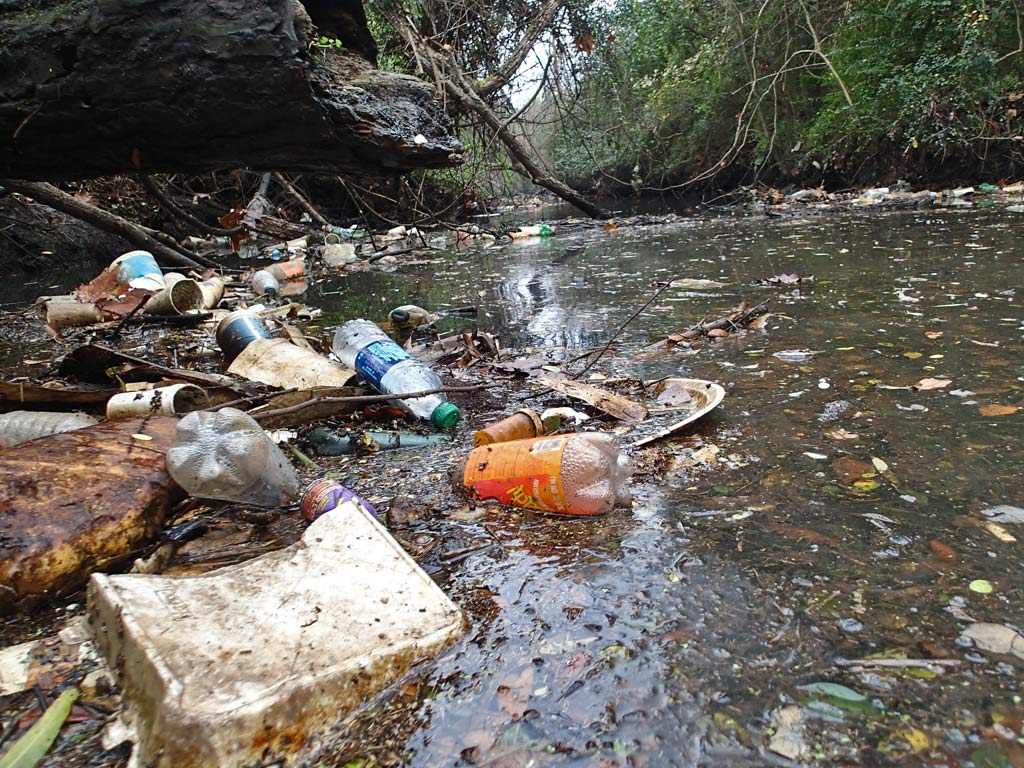
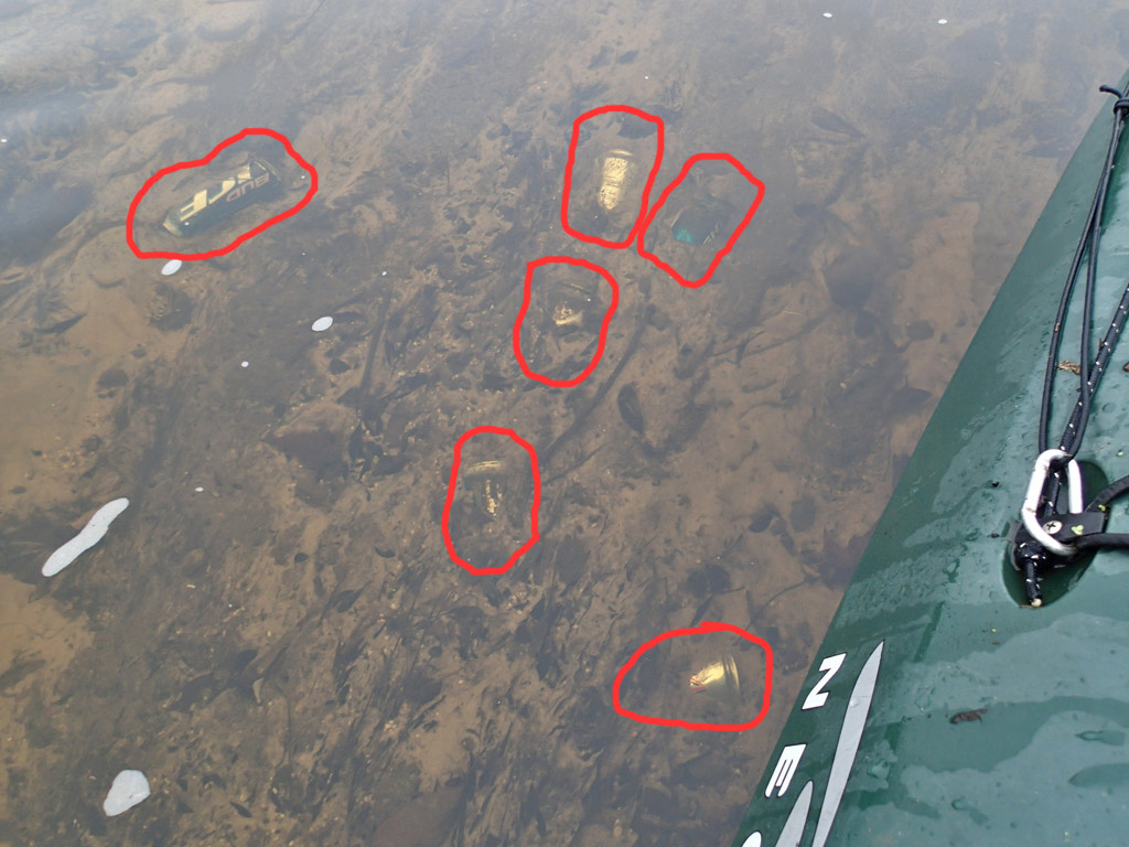
The sheen appears to be coming from one of the large (about 3-4 foot diameter) pipes and from there the sheen is continuous down to Michael Blvd and beyond. I called the ADEM official, told him I found the source and he was quick to come out. While I'm pretty certain the petroleum is coming from one of those pipes, the ADEM official remained skeptical. Even if it the petroleum is coming from the pipe, the actual source of the sheen is still unknown. There is no telling what connects to those massive pipes.
The ADEM official said his next step is to get in touch with his supervisor to see what should happen next. If it was me, I'd start lifting manhole covers in hopes of discovering where the smelly petroleum is coming from in order to find the source. I'm not touching the City's manhole covers.
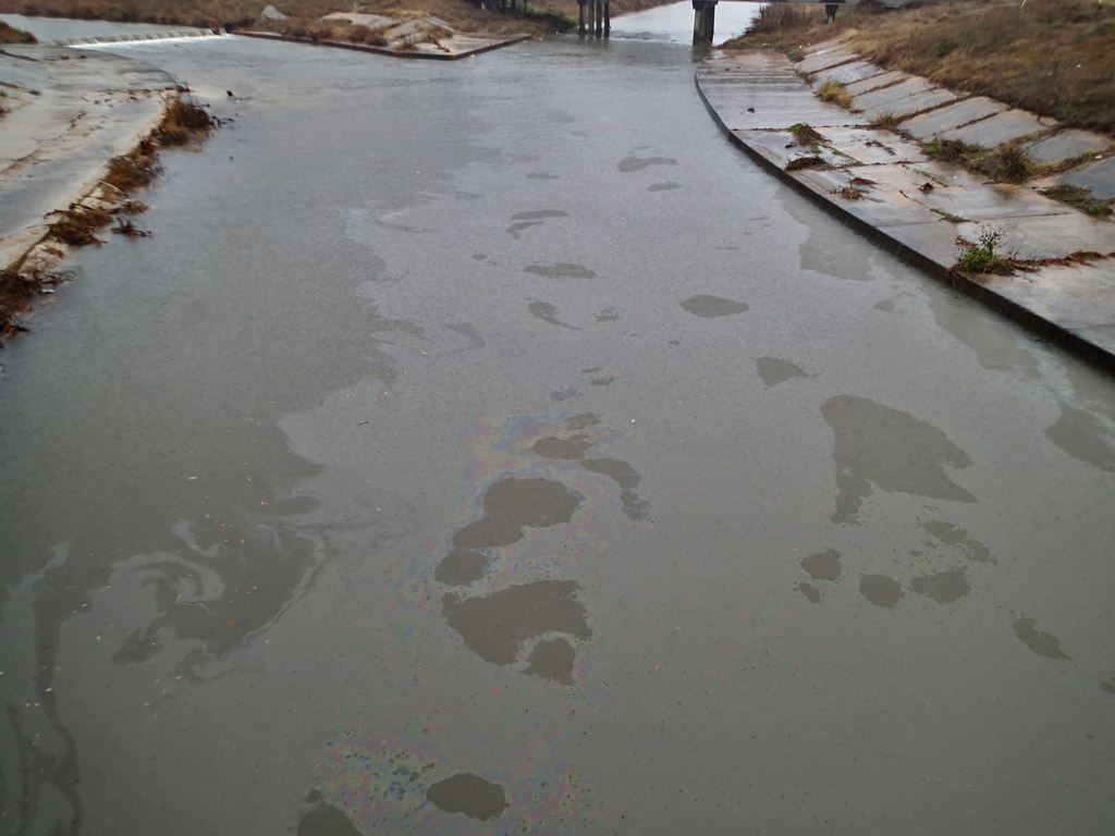
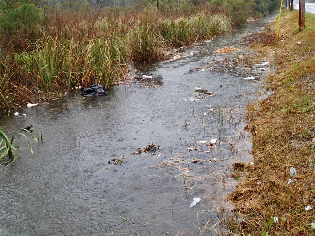
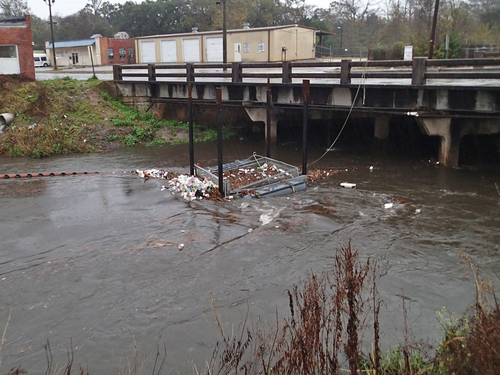
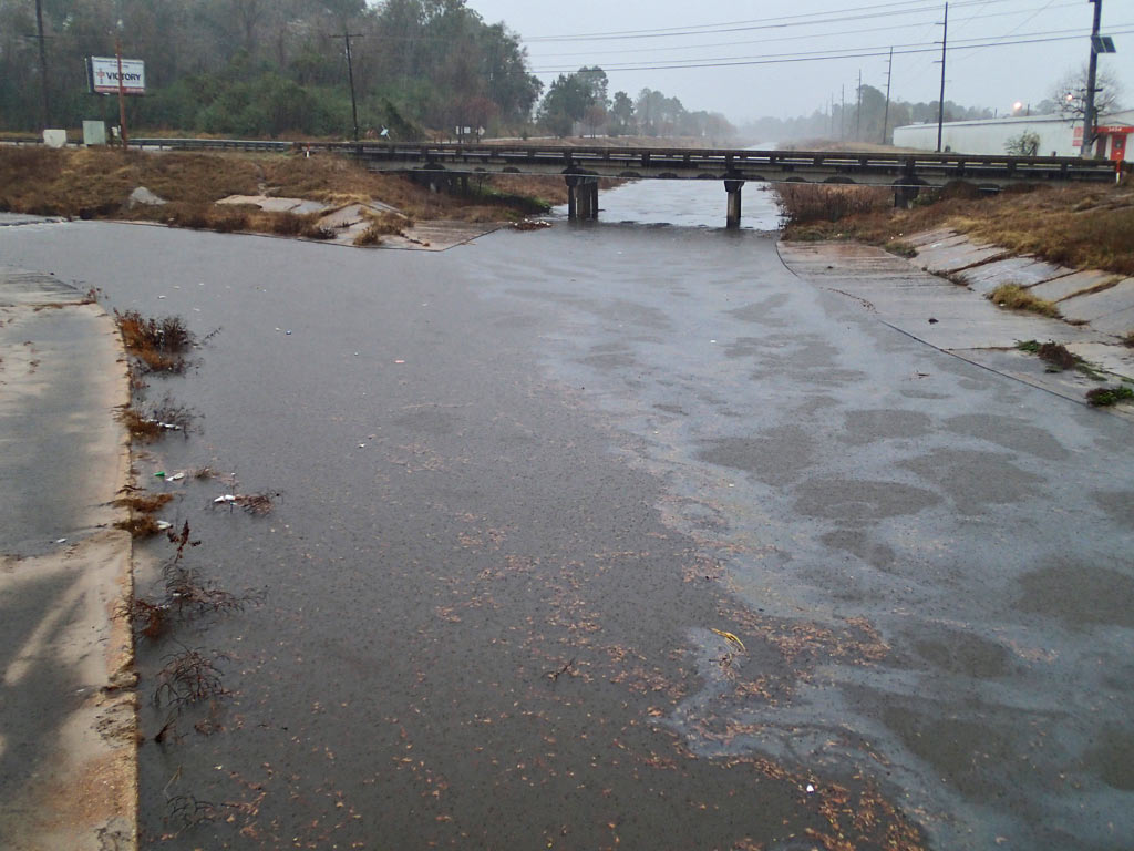
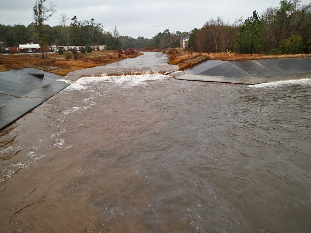
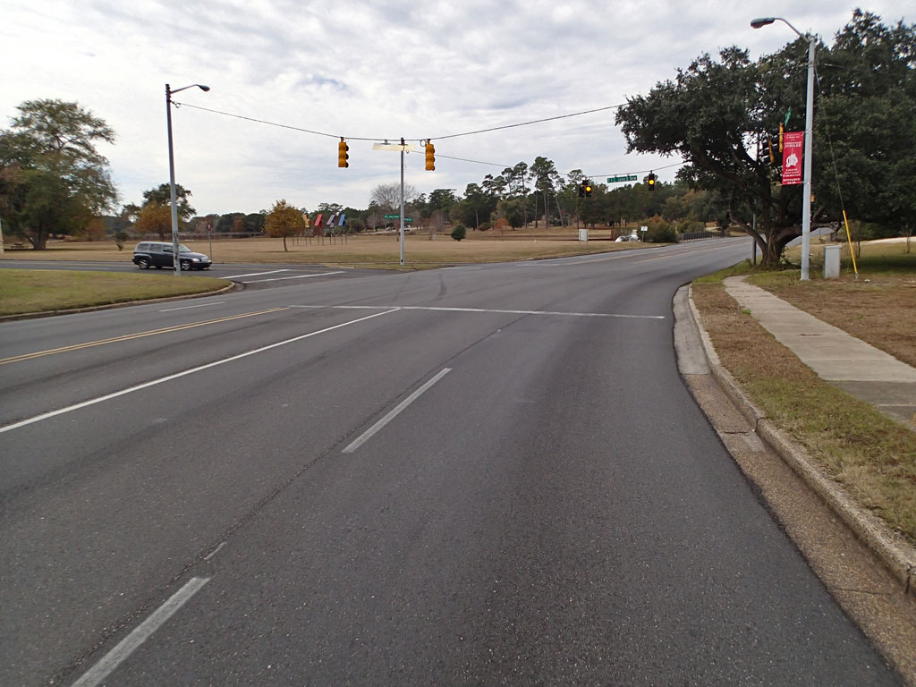
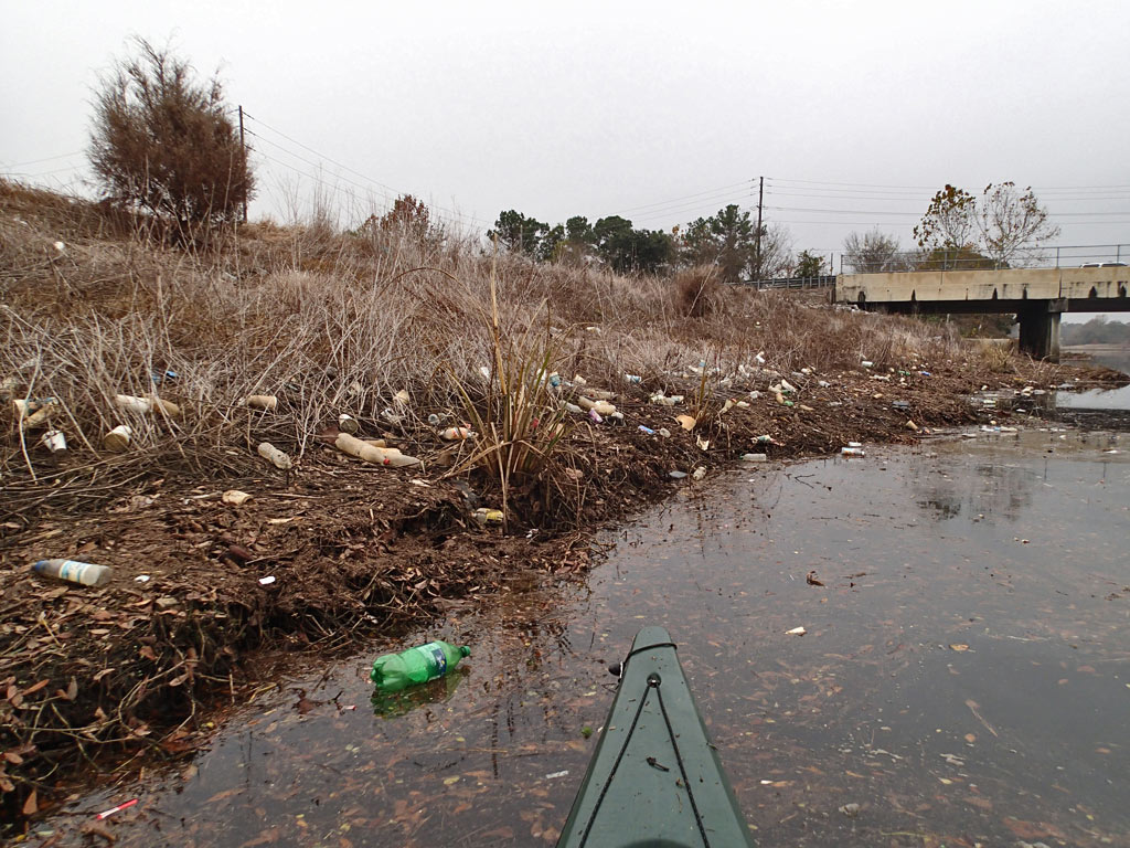
Nothing else I can do but keep monitoring what is flowing past Pleasant Valley Road bridge, then a mile beyond that at the Hwy 90 Service Road bridge, and then another two miles downstream of that bridge at the Halls Mill Creek bridge.
To Be Continued...
Sidenote: When it comes to the names of waterways, it appears many existing waterways haven't been born yet because they have no name other than, "Unnamed Tributary." City calls some creeks one thing. State may call it another. Then internet mapping misspells creek names adding to the confusion. Call it what you want, this is the City of Mobile straight line drainage canal west of Interstate I-65 that connects to Moore Creek and eventually Dog River. Montlimar Fitness Trail runs along side Montlimar Creek. It was while riding that trail when I discovered the smell of petroleum and saw the sheen back on December 1st.
The bad news is, after talking with the ADEM official, I learned their investigation turned up nothing. They could not find the source of the pollution. There is always a source to pollution.
So I went up to Montlimar Creek this afternoon to do my own hunt. The sheen was still visible at Michael Blvd but not at Airport Blvd - same as before. The source has to be somewhere between the two bridges which are about a mile apart. It took walking through about half a mile of thick shoreline weeds and muddy ground until I found where the sheen started appearing along the shoreline. For those interested, I mapped out the location where the sheen started appearing here: Google Map
The sheen appears to be coming from one of the large (about 3-4 foot diameter) pipes and from there the sheen is continuous down to Michael Blvd and beyond. I called the ADEM official, told him I found the source and he was quick to come out. While I'm pretty certain the petroleum is coming from one of those pipes, the ADEM official remained skeptical. Even if it the petroleum is coming from the pipe, the actual source of the sheen is still unknown. There is no telling what connects to those massive pipes.
The ADEM official said his next step is to get in touch with his supervisor to see what should happen next. If it was me, I'd start lifting manhole covers in hopes of discovering where the smelly petroleum is coming from in order to find the source. I'm not touching the City's manhole covers.
Nothing else I can do but keep monitoring what is flowing past Pleasant Valley Road bridge, then a mile beyond that at the Hwy 90 Service Road bridge, and then another two miles downstream of that bridge at the Halls Mill Creek bridge.
To Be Continued...


 RSS Feed
