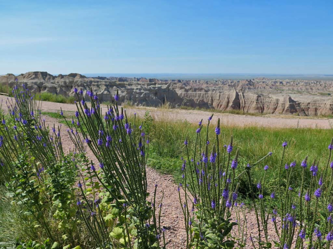
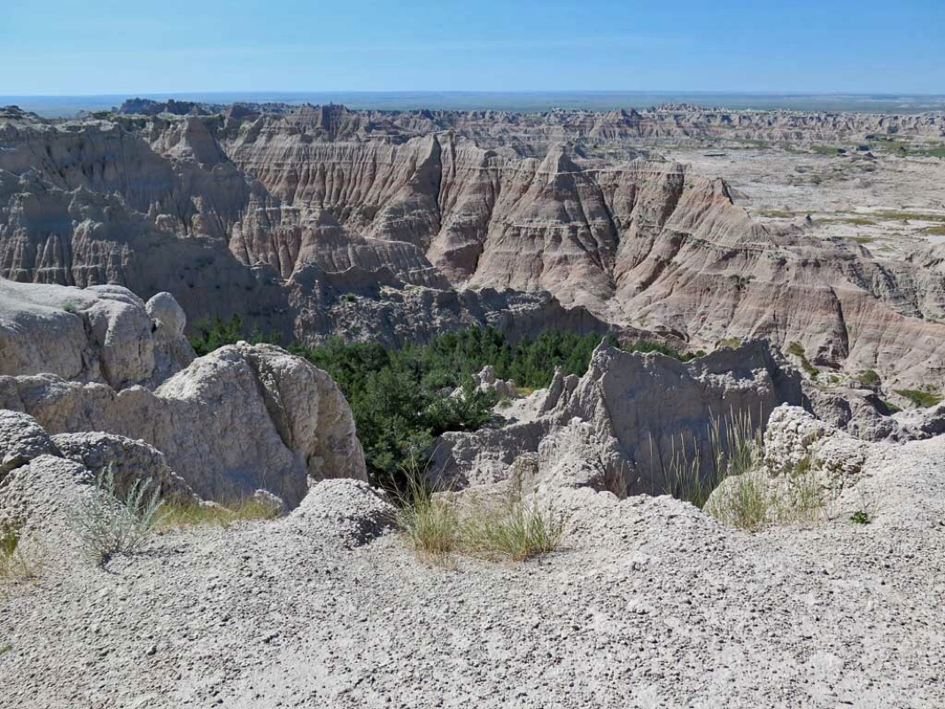
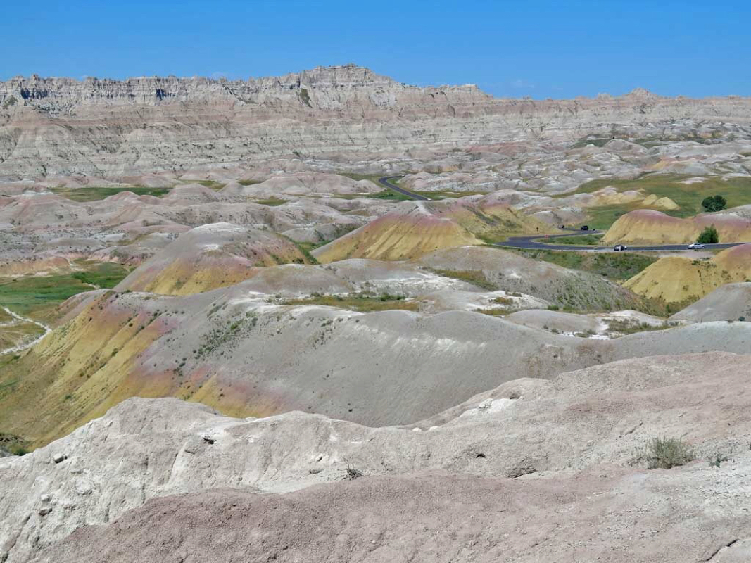
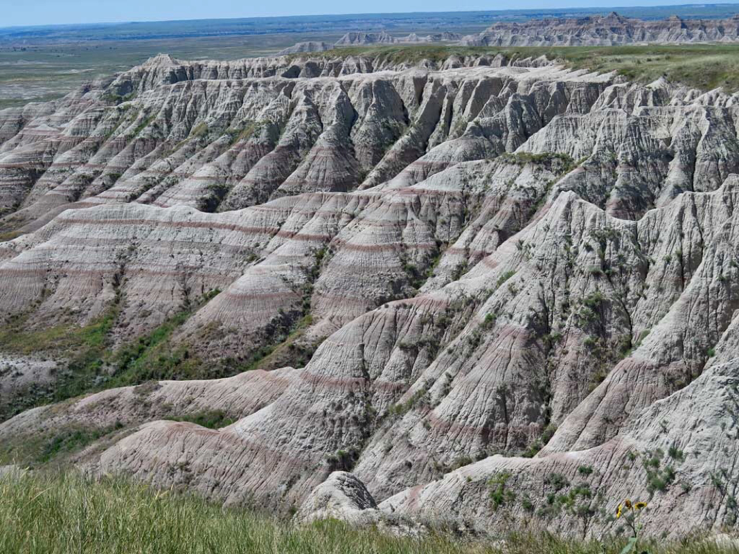
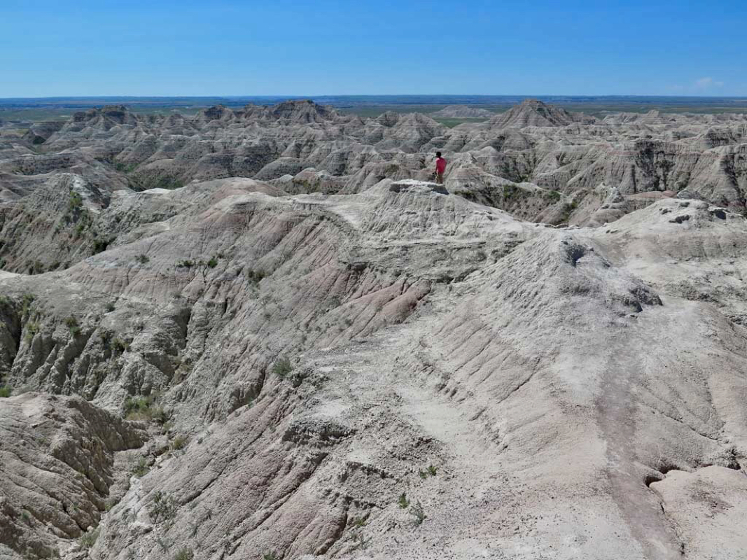
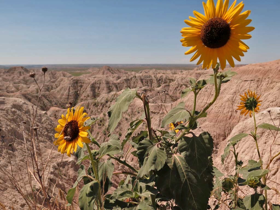
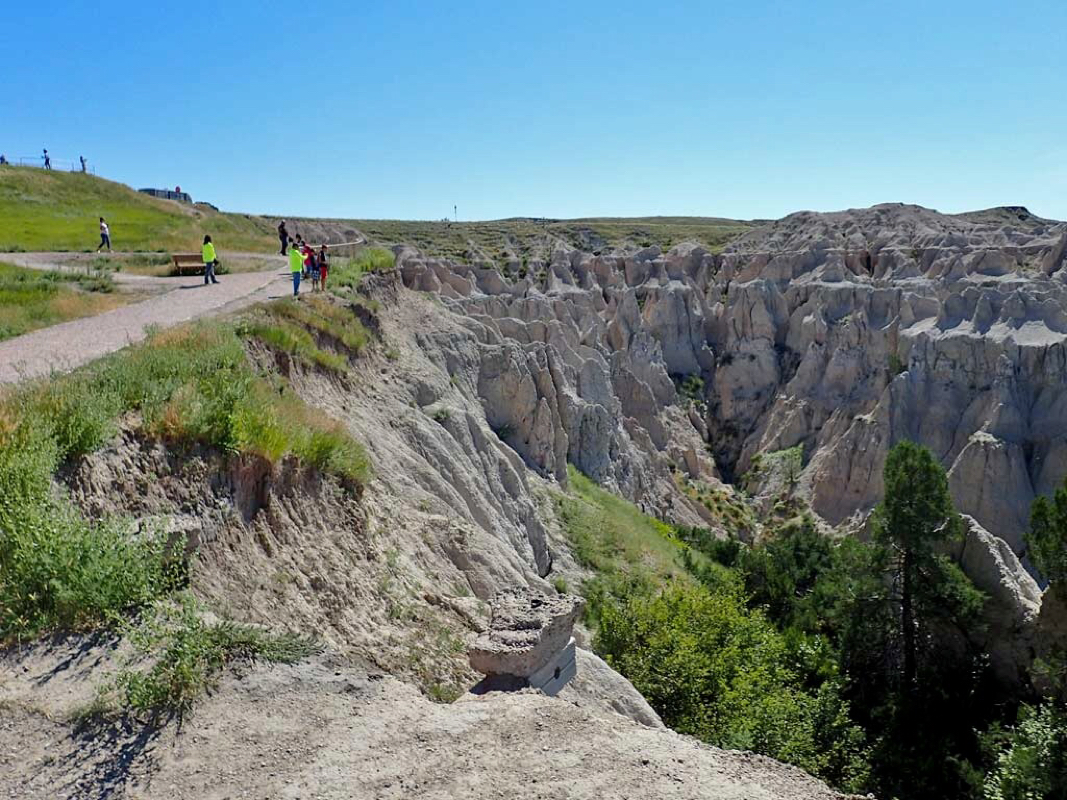
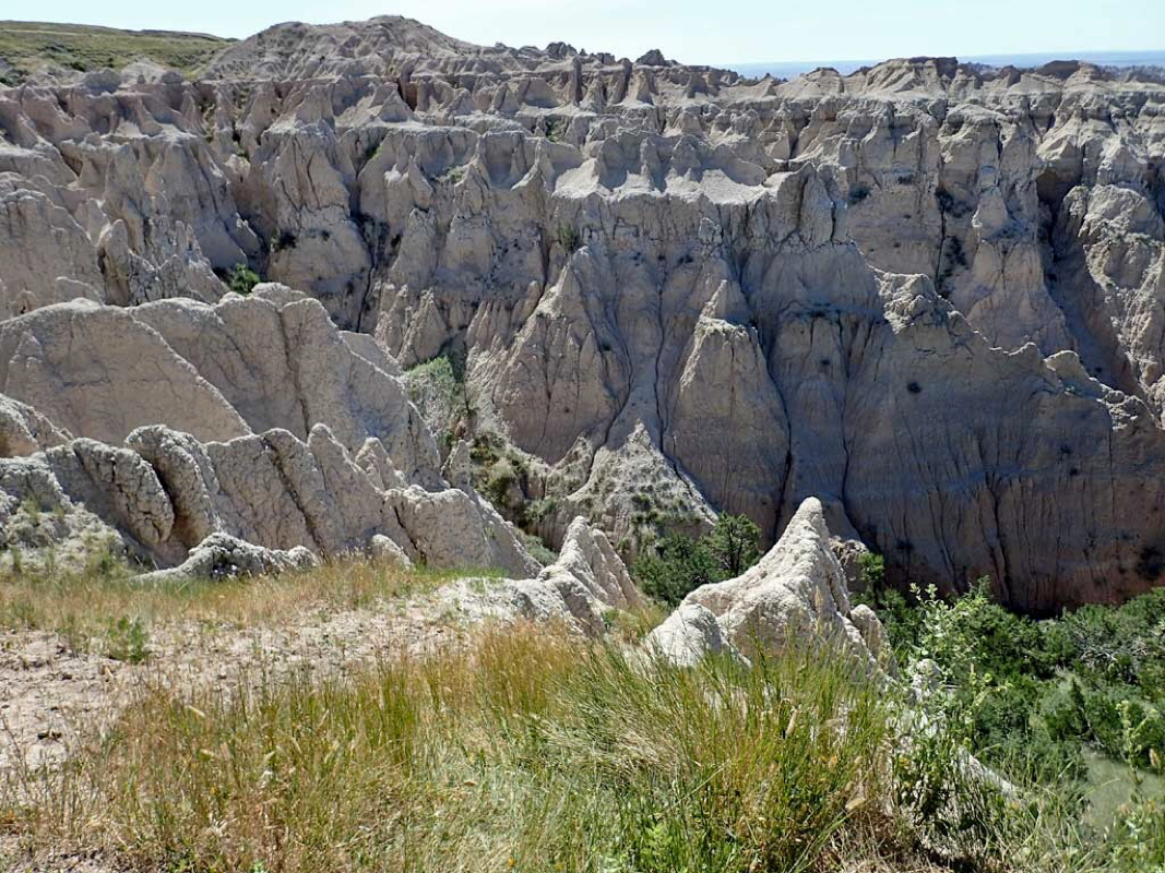
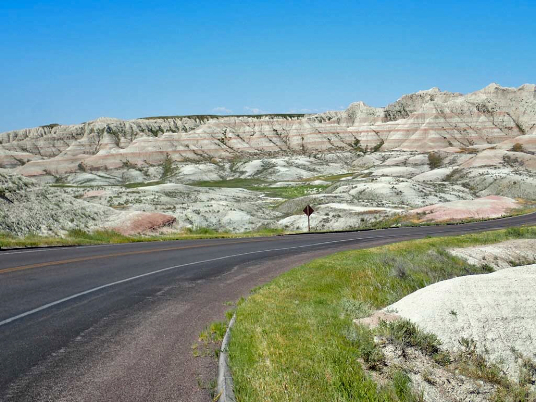
While on the drive to Minneapolis I stopped by to see the Badlands of South Dakota and took a few photos.
|
While on the drive to Minneapolis I stopped by to see the Badlands of South Dakota and took a few photos.
0 Comments
More photos from the north part of the Mickelson Trail ride. 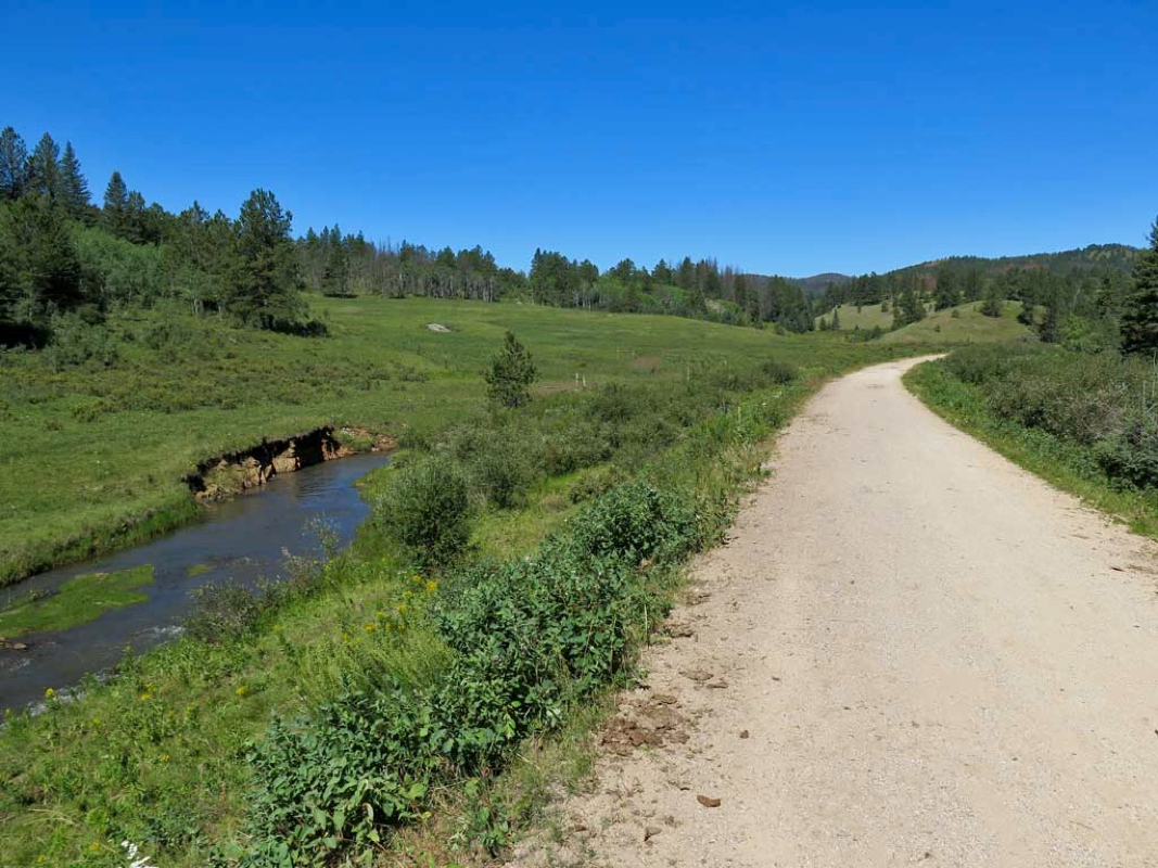 Lots of wide open views 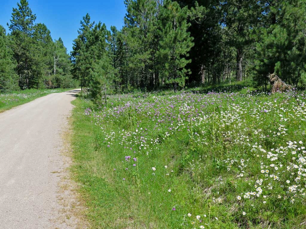 Wildflowers 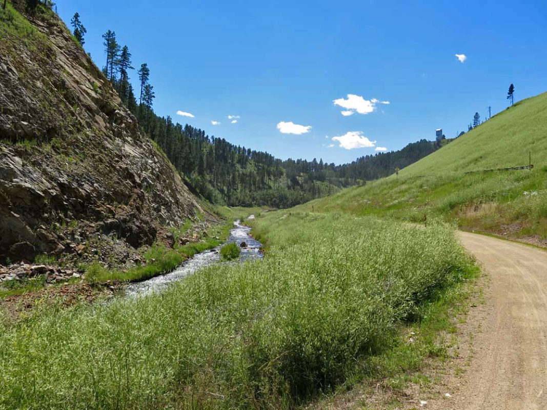 Trickling trail side stream 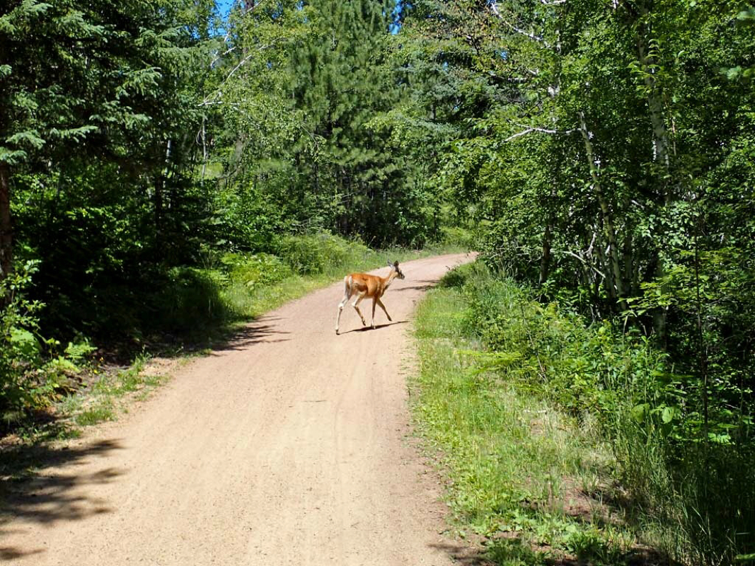 Lots of deer along the trail. 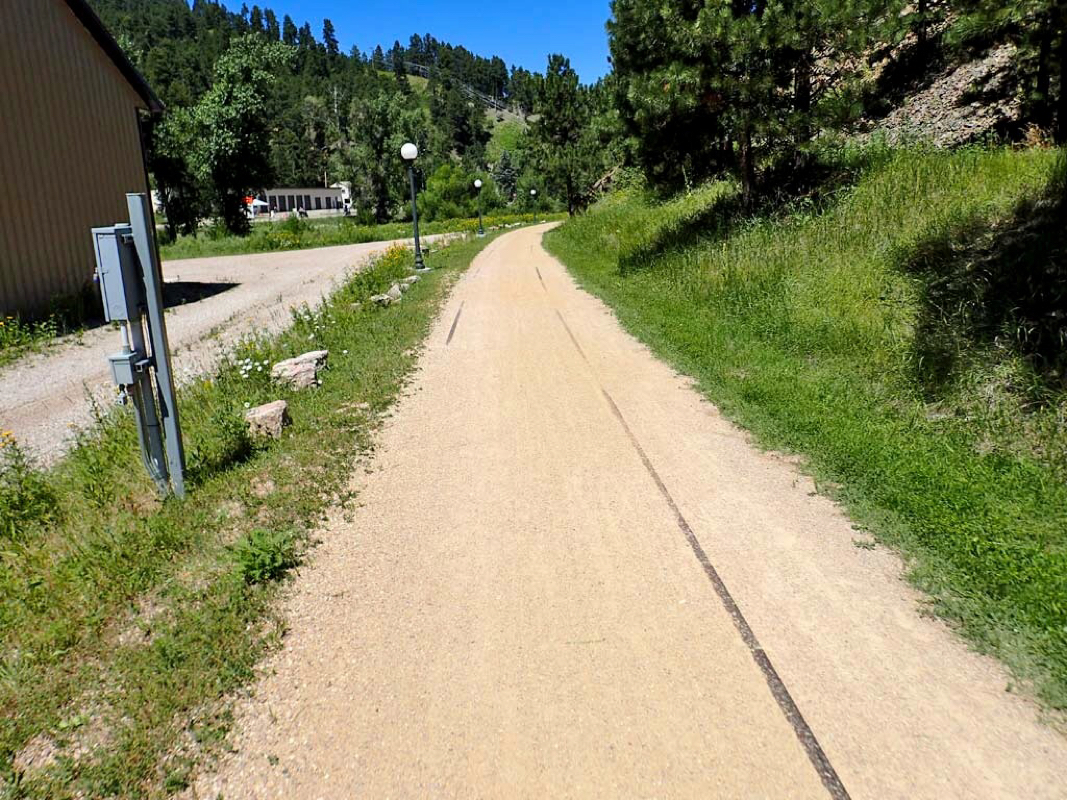 Wow, the steel rail was never removed. 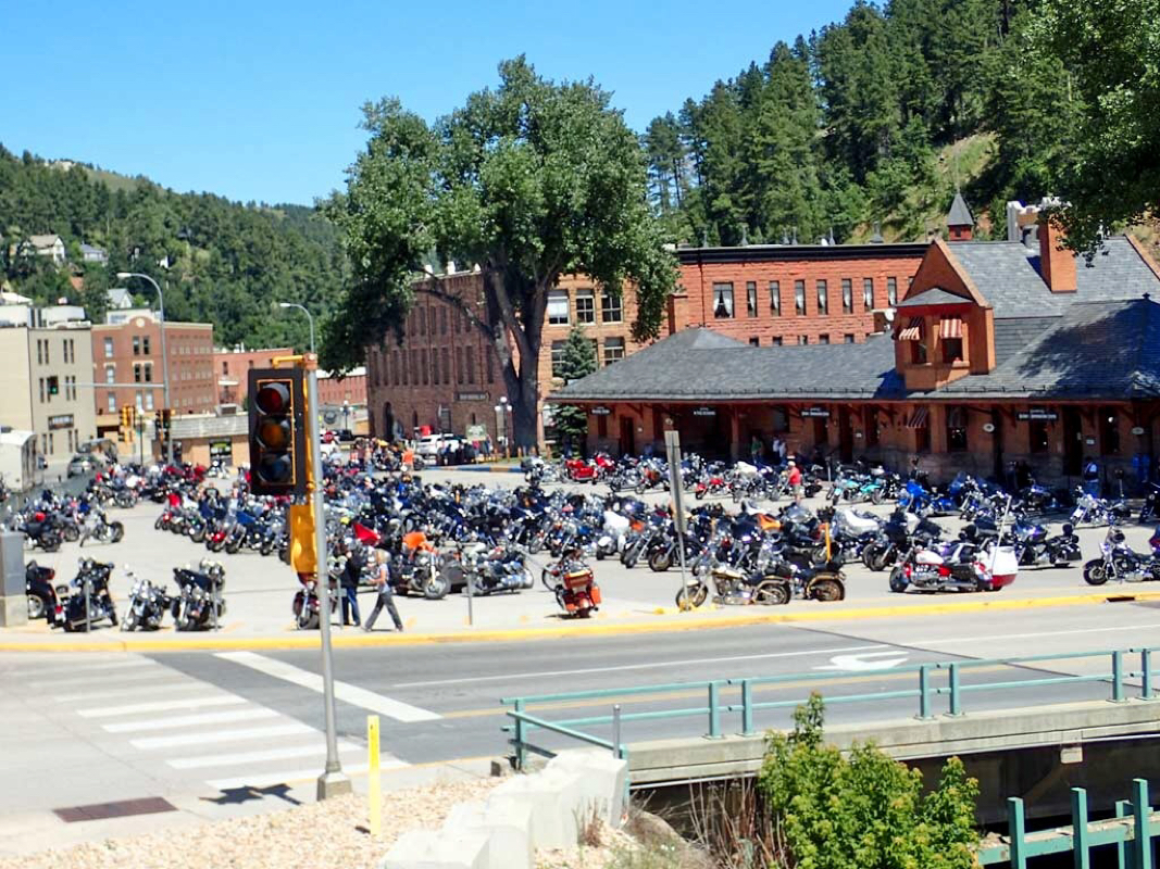 The Sturgis Biker Rally takes over all the Black Hills and the rally was still a few days away. 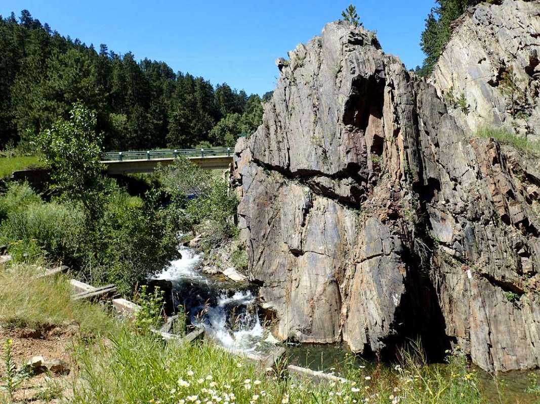 Rocky terrain 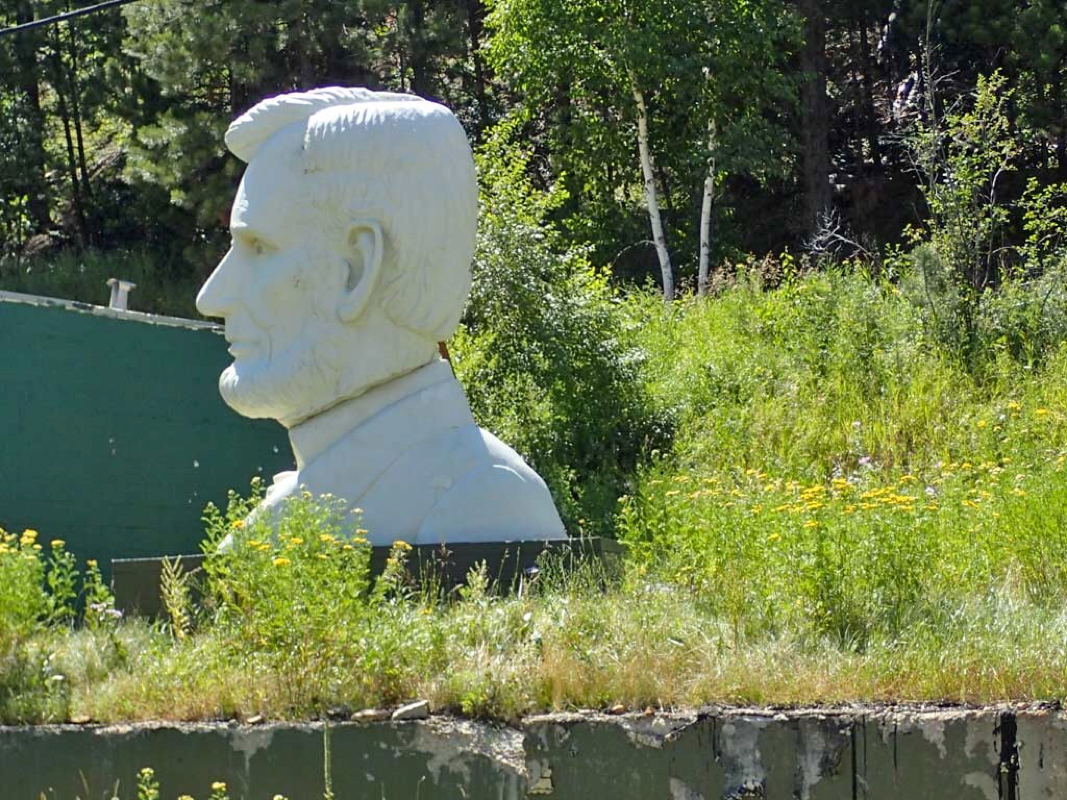 Guess Who? 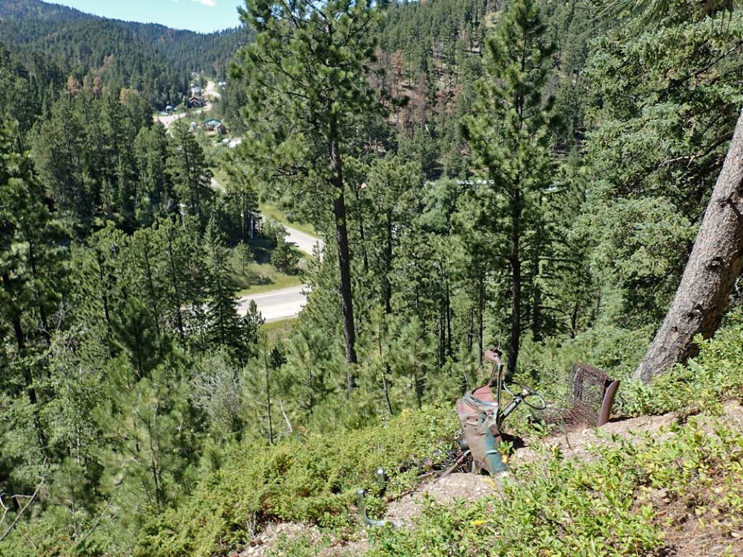 Old vehicle embedded in the steep side of the trail. 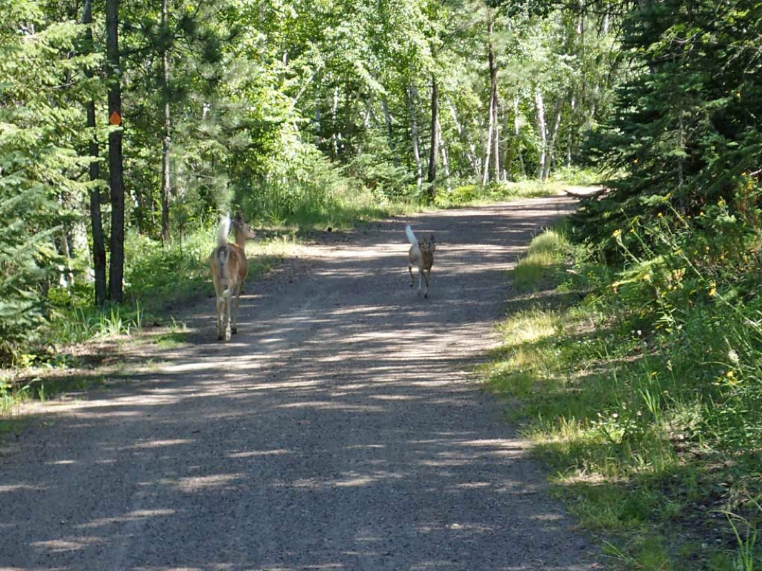 Hey, move outta my way. 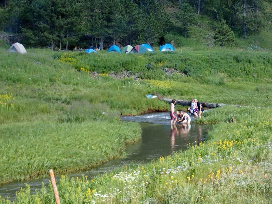 What are those campers doing? 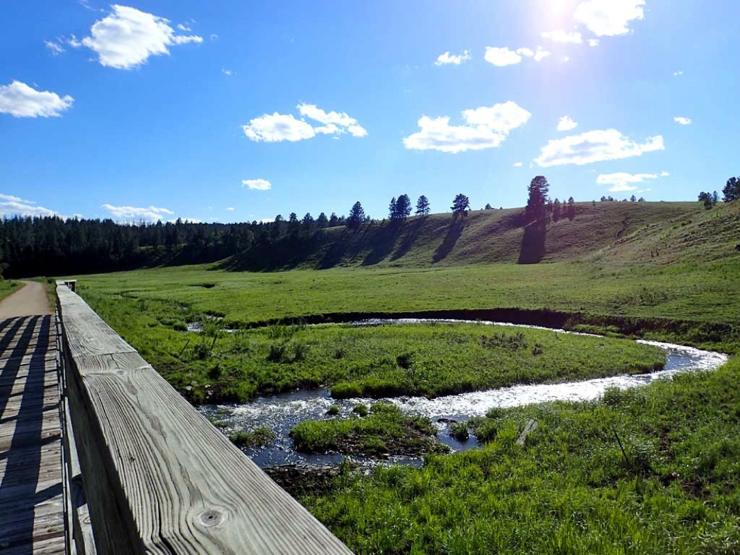 Serene landscape. 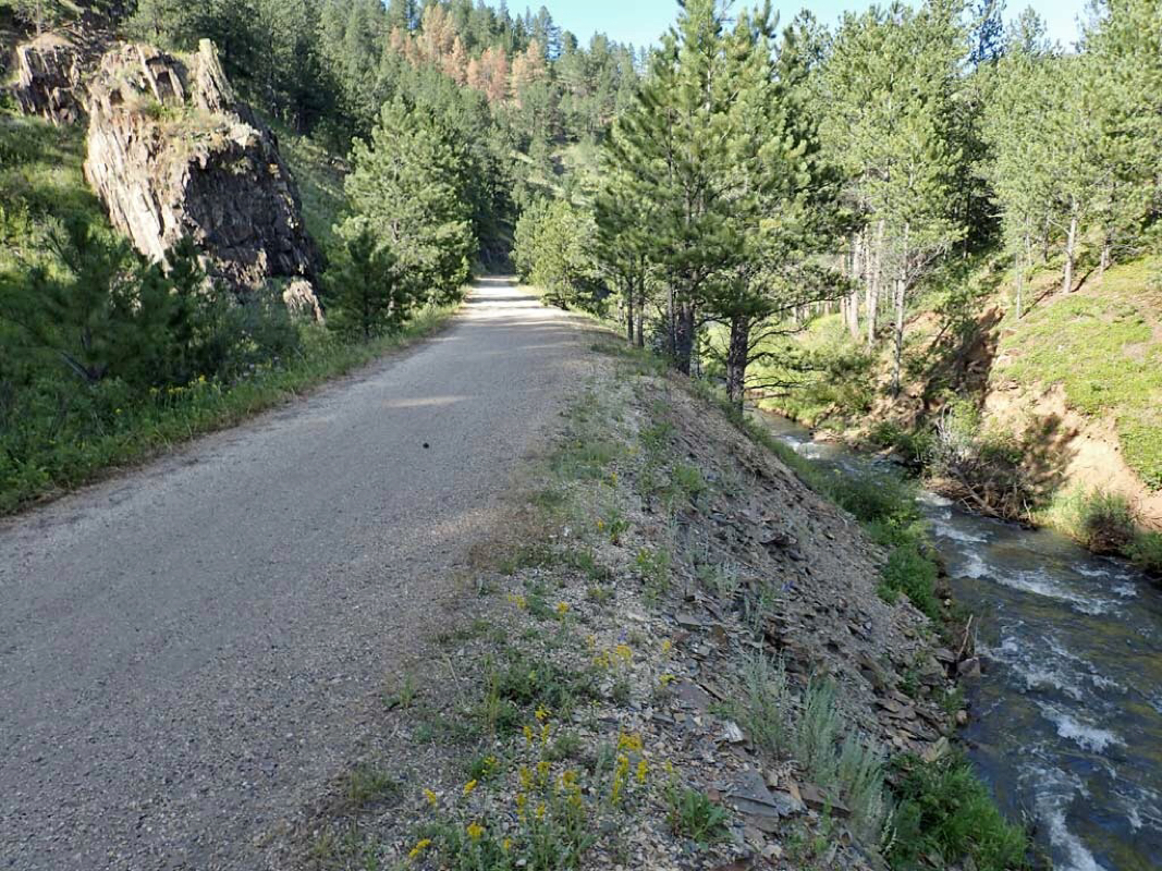 Noisy water 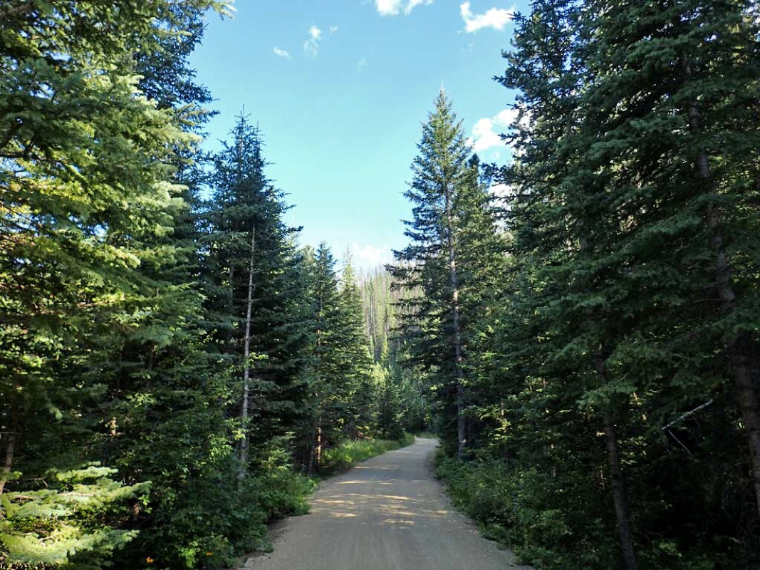 High elevation forest 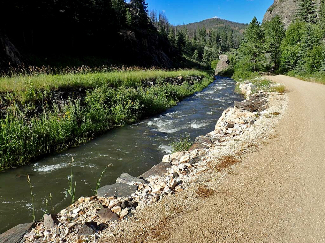 Did I mention the wonderful trail side creek? 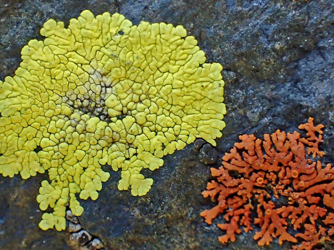 Wide variety of lichen growing on the rocks. 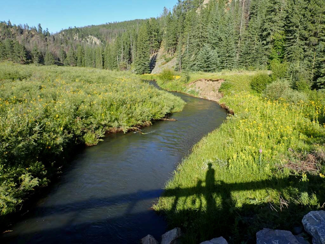 The day's ride almost over as the sun's shadows lengthen. 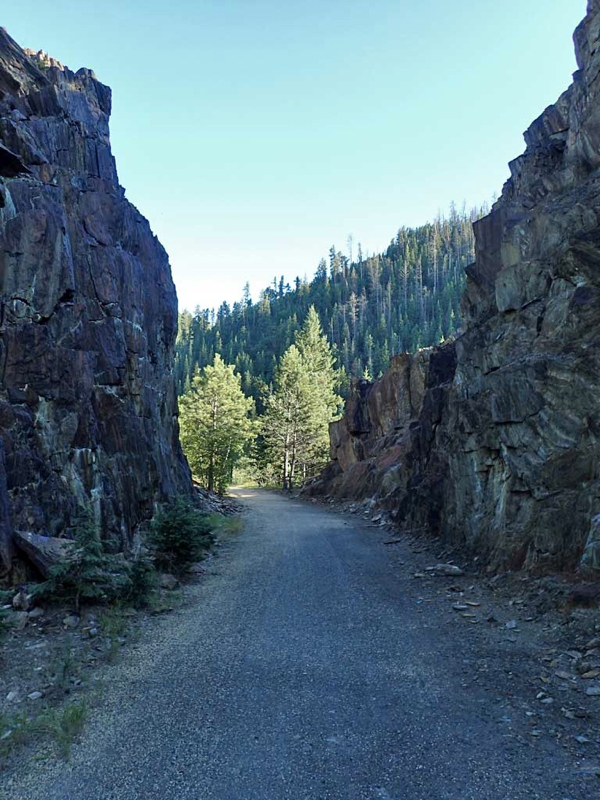 George Mickelson is one superb trail. 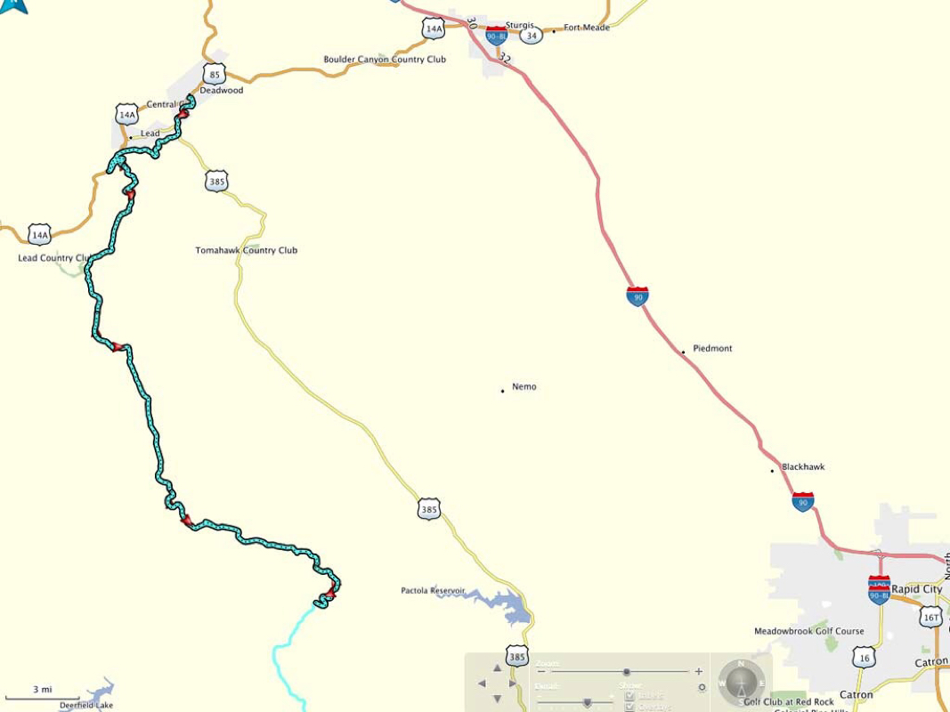 Ride Track 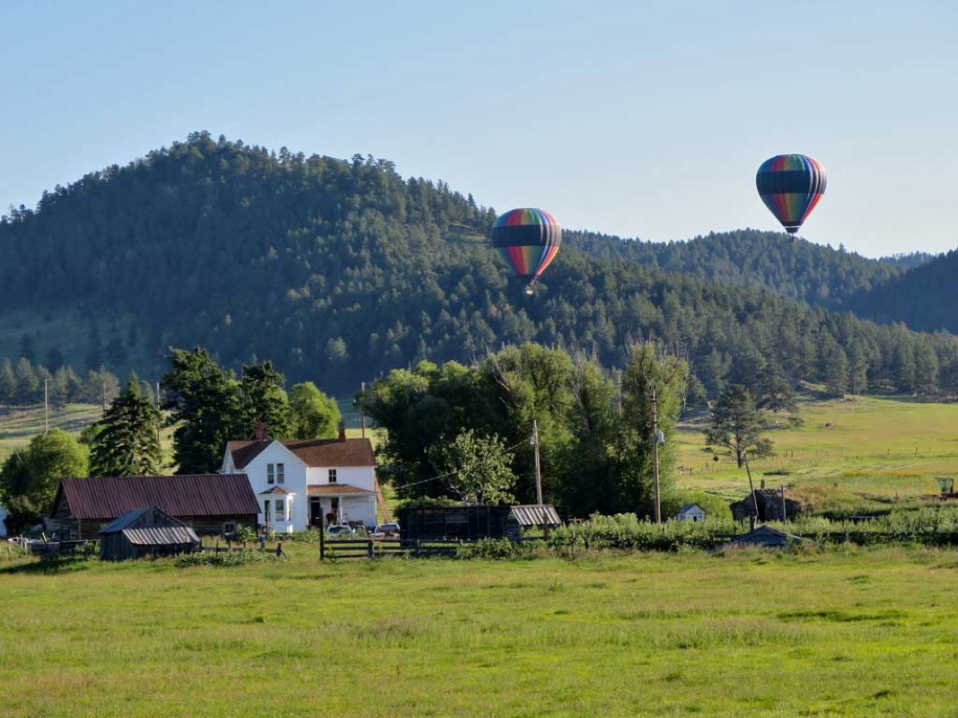 Unusual sight near the start 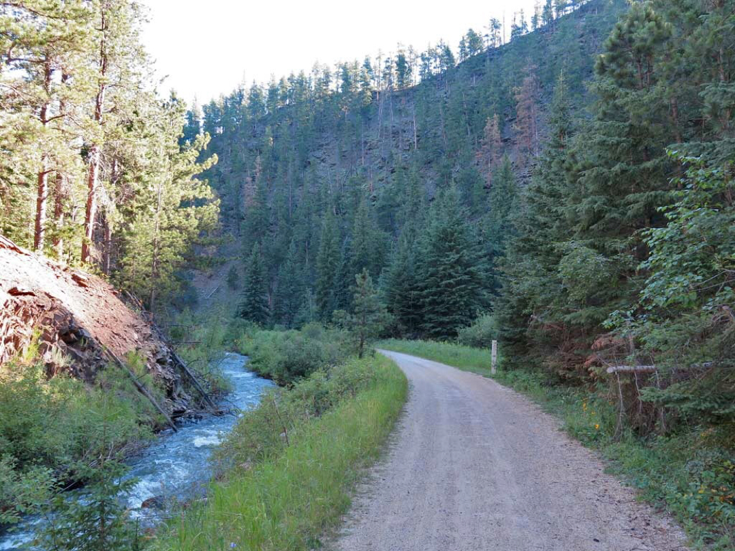 Still have a trail side stream 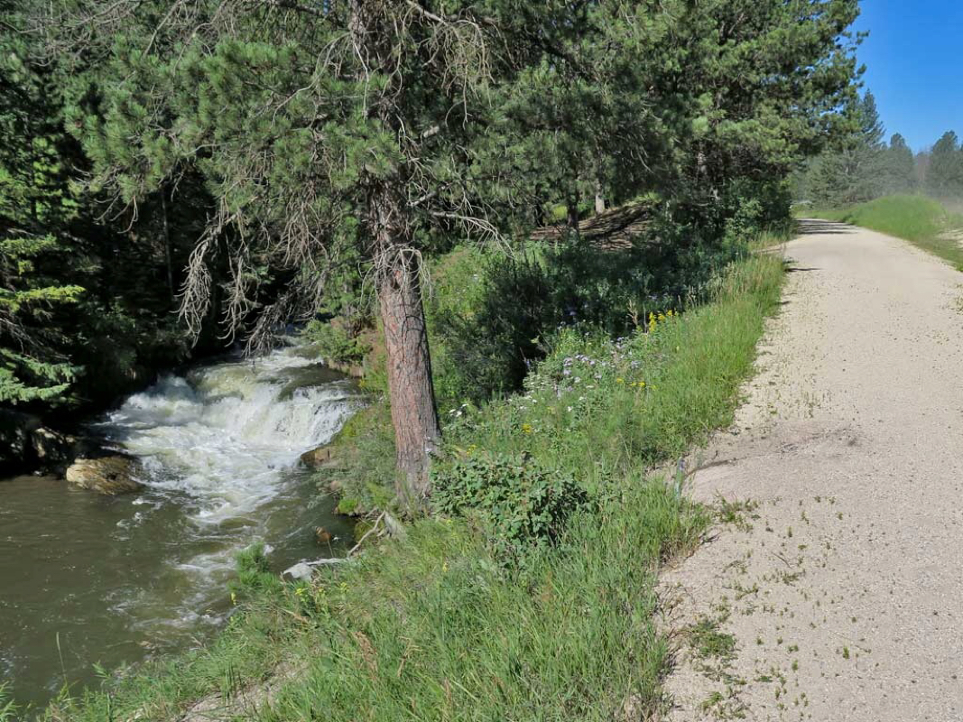 The trail side stream gets a little bigger and louder 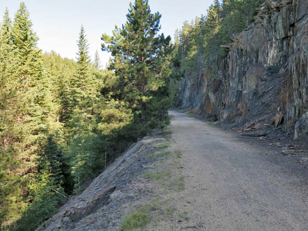 Watch where you ride cuz the drop of penalty is severe in some places 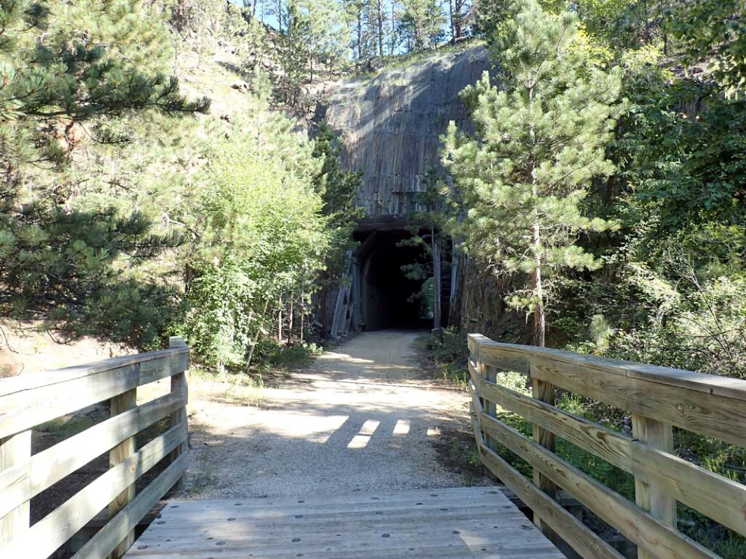 Another tunnel 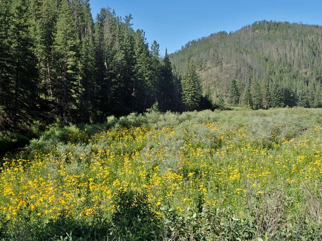 Lots of wildflowers 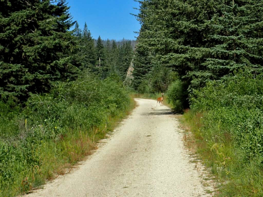 Lots of wildlife like this deer 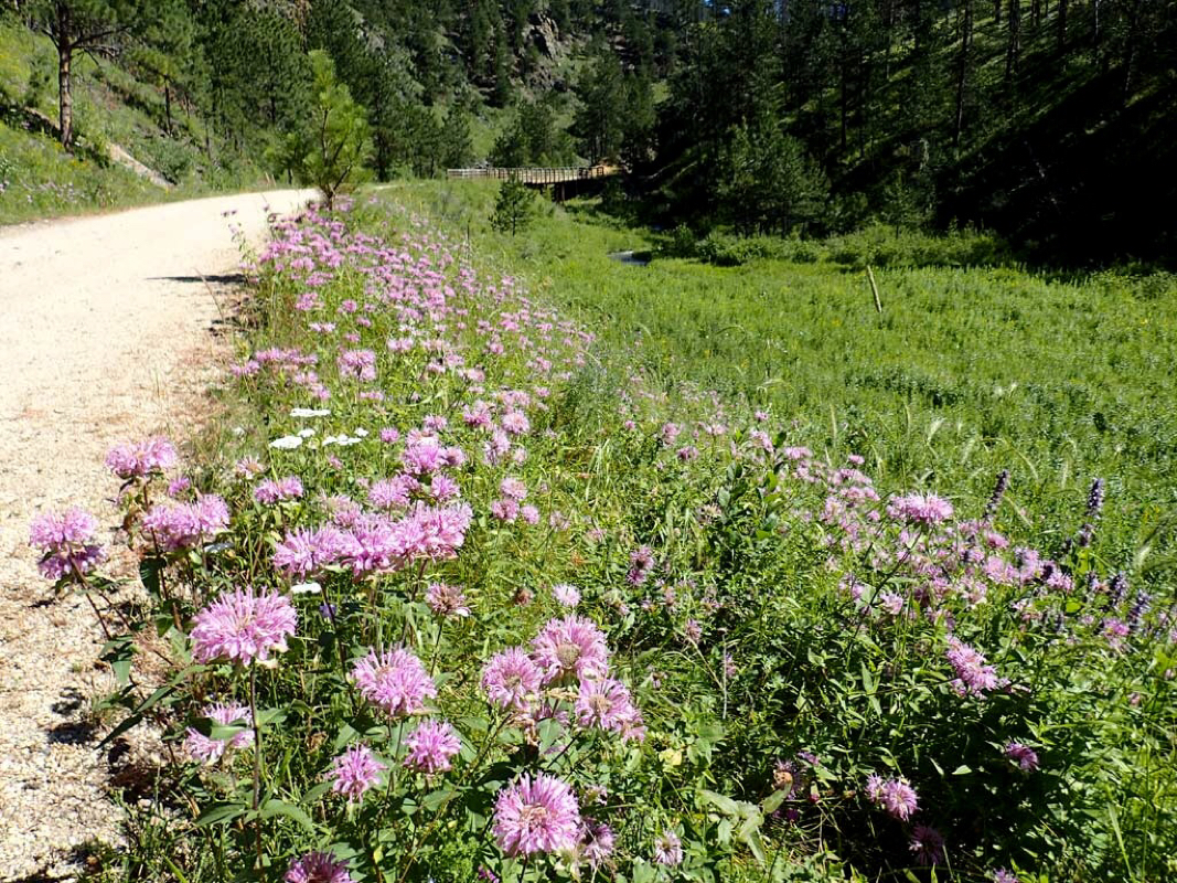 Did I mention the colorful wildflowers that brightened the side of the trail? 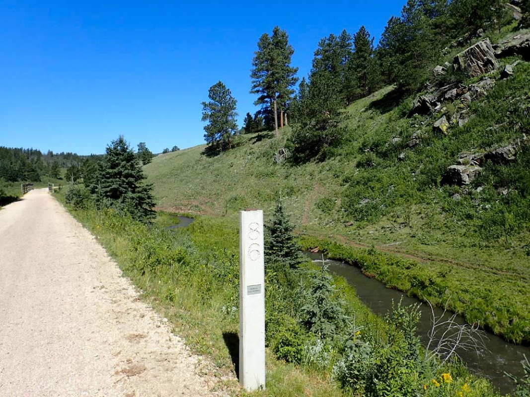 Mile marker 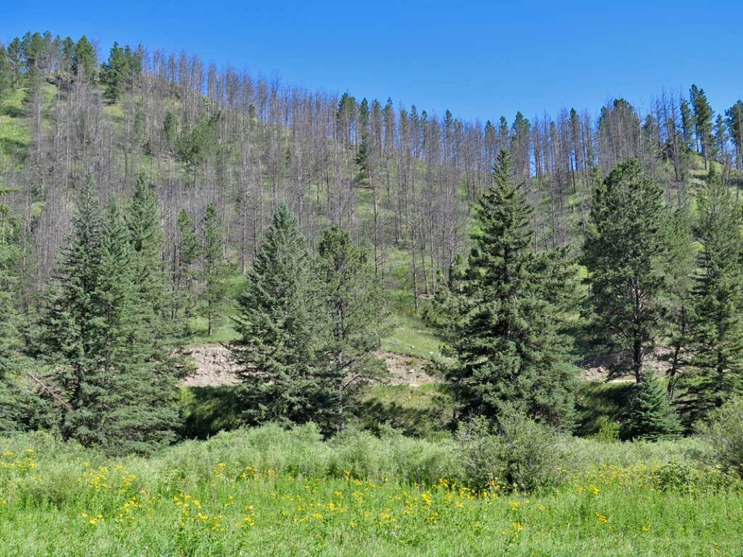 Pine Beetle causing the death of many pine trees. 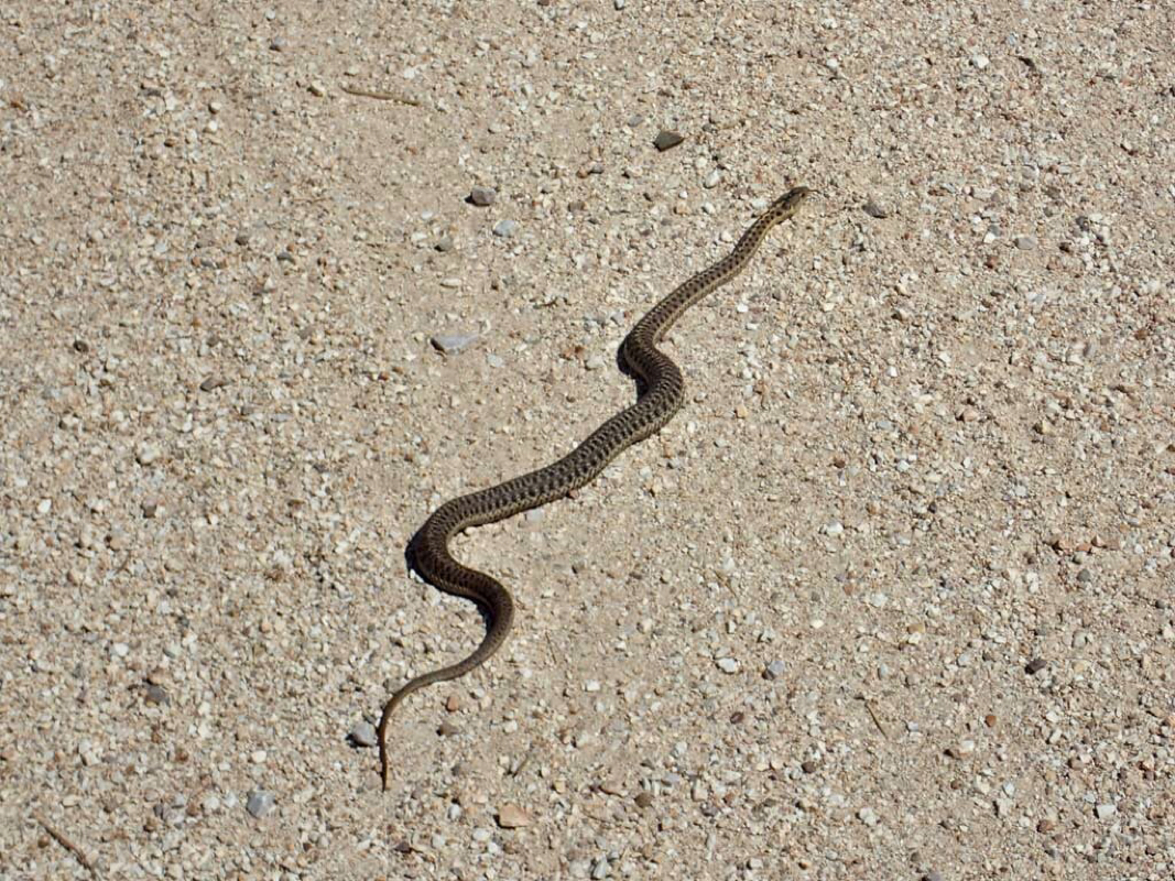 Trail user 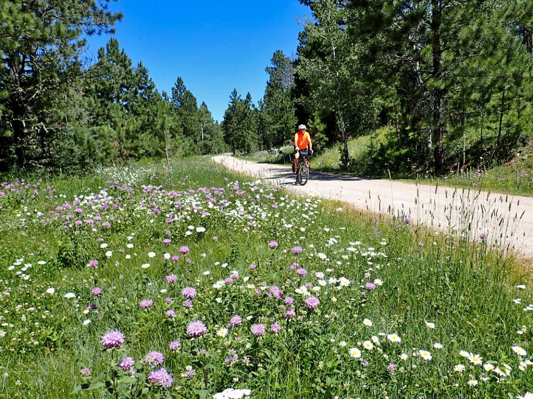 Lots of colorful wildflowers in bloom. 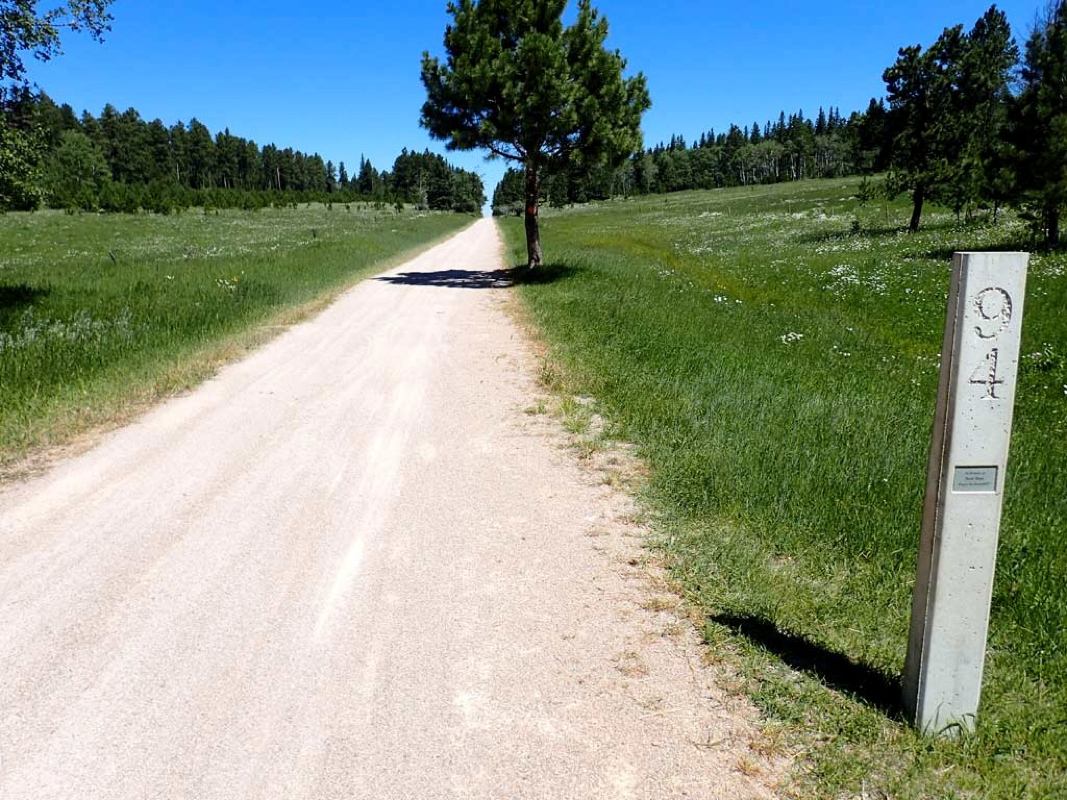 Highest point of the trail in sight. 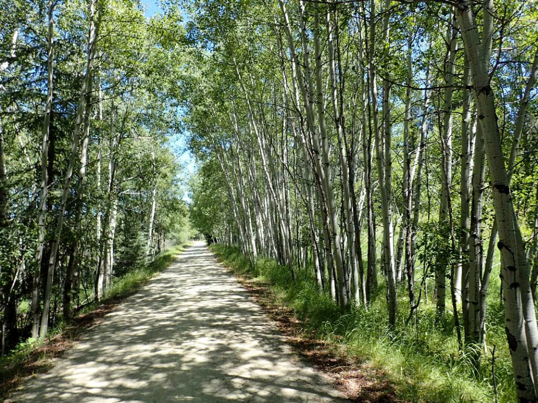 Shade provided by Aspen Trees 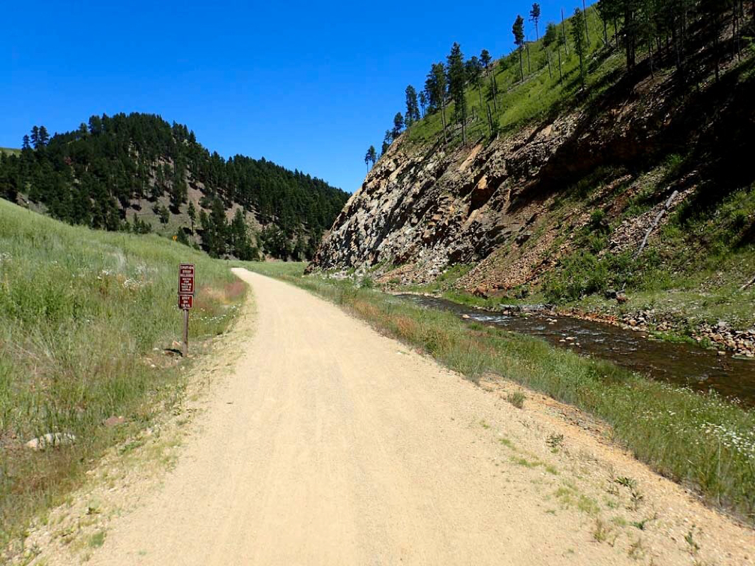 Ever changing mountainous terrain. Trails: George Mickelson Trail in South Dakota (North End) Start: Mystic Trailhead (Mile Post 75). Route: Ride north to Deadwood (Mile Post 108+) and back. Distance 73 miles round trip. Weather: Sunny. Temp: 50-70 degrees. Low Elev 4600, Hi Elev 6225. Feet Ascended: 3500 Trail Material: Crushed Limestone. Trail Pass Required: $3 per day. Rating: TWO Thumbs Up. Note: For riders with a bucket list of top ten Rails-to-Trails to ride, put the George Mickelson Trail on your list. Another chilly start (low 50s). No trouble finding this trailhead since the ride yesterday turned around at it. Highlights of this trip: One major climb of about 1500 feet over 19 miles then the trail drops 1600 feet over the next 15 miles into Deadwood. Unlike the middle and south parts of the Mickelson trail with all railroad slope grades, some of the slopes on the north end reach 5 percent with one short climb of over 15 percent. That one had sure had me huffing and puffing. The 6200 feet elevation may make those used to lower sea level elevations huff and puff even more. The north end of the Mickelson trail gives the rider a more mountainous experience with long sweeping curves and steep trailside terrain. The previous small trailside stream becomes wider with more rushing water and a few small waterfalls. There are some seriously dangerous areas where if you lose attention looking at something and ride off the trail, it is going to be a long, long fall to the bottom. Makes for a more exciting ride. The deer and other animals, beautiful mountains, rushing water, beautiful meadows blanketed with wildflowers, tunnels, rocks, and more made this another ride I did not want to end. Breaking up the 108 mile trail into three out and back full day rides turned out to be the perfect way for me to expetience this awesone trail. The only warning I give is South Dakota appears to be a Tourist Trap with ridiculous prices but I there just as the hugely popular Sturgis Motorcycle Rally was about to begin. More photos from the middle part of the George Mickelson Trail ride. 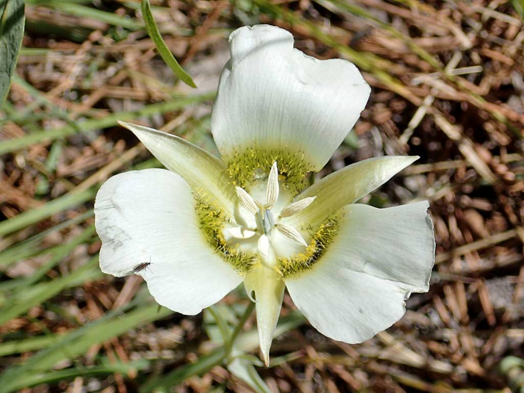 Interesting looking wildflower 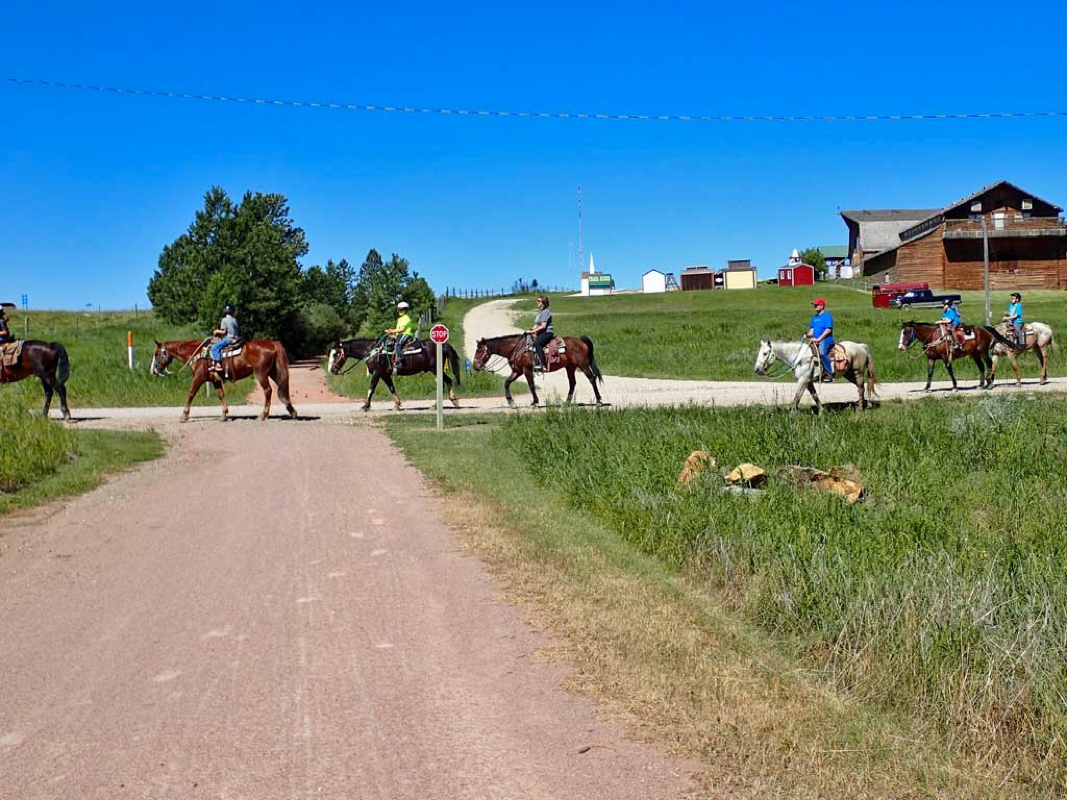 Busy cross traffic on the trail. 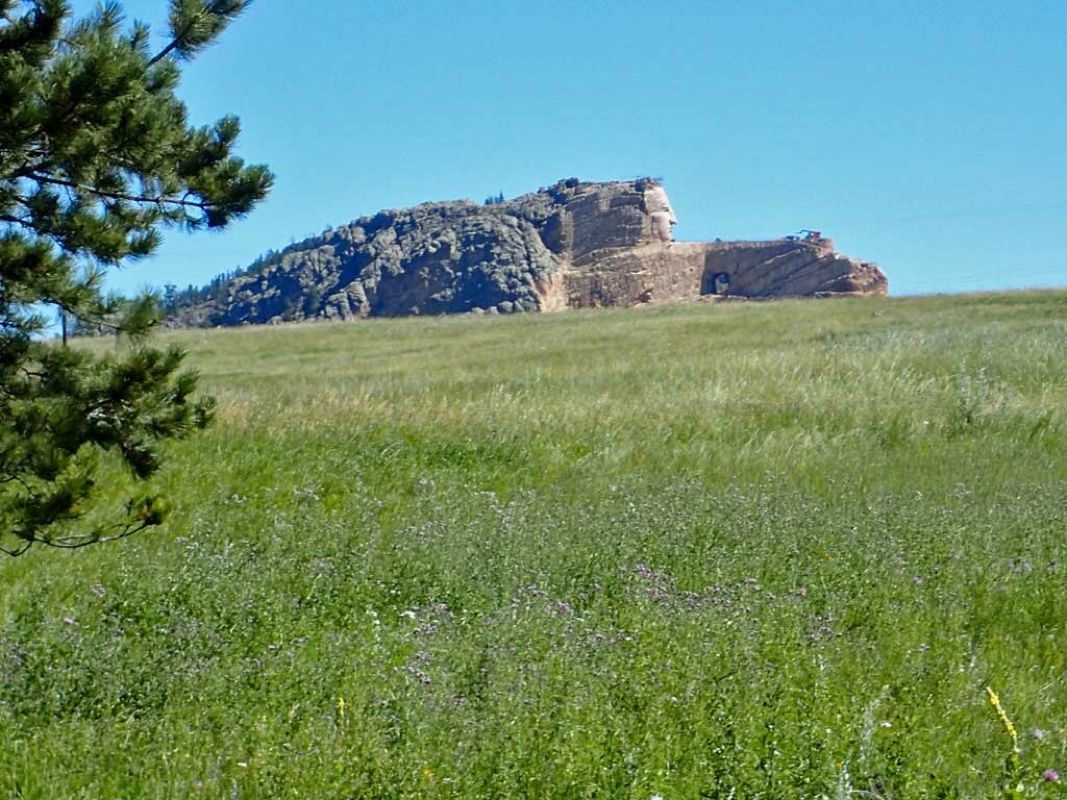 Old Crazy Horse being carved into the mountain. 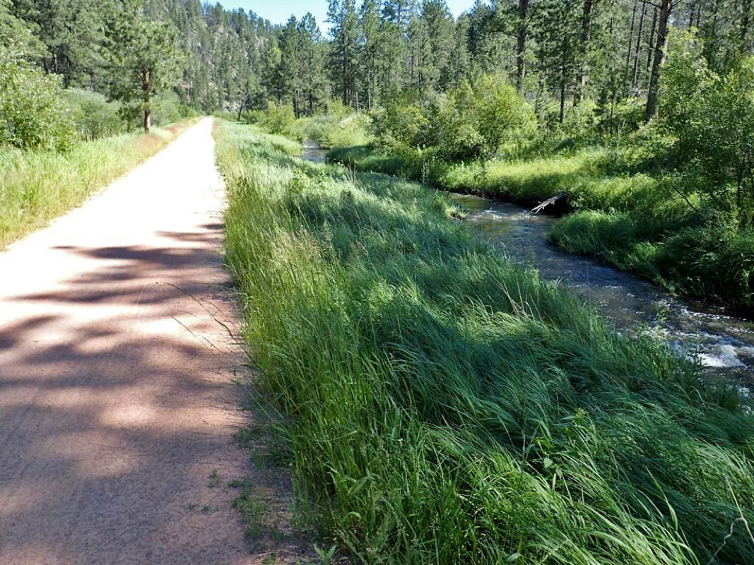 Noisy rushing water from the trail side stream. 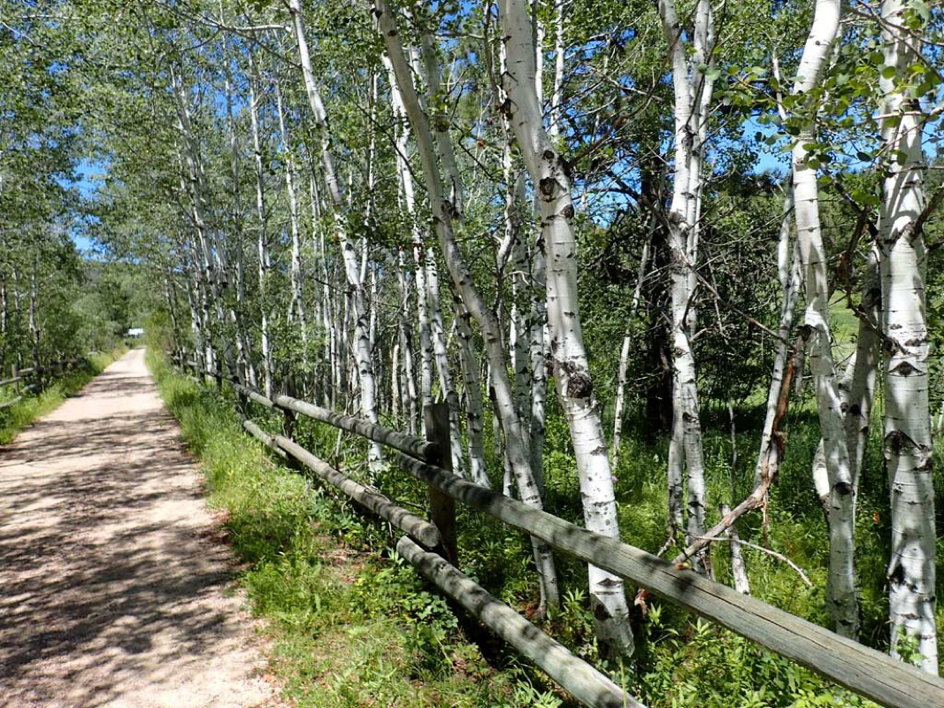 Aspen trees. 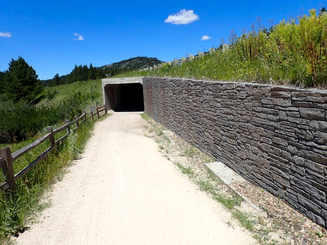 Tunnel under the road. 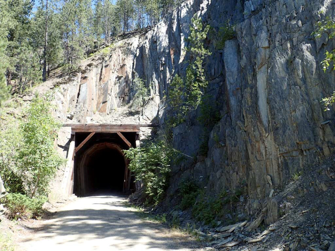 Tunnel under the rocks. 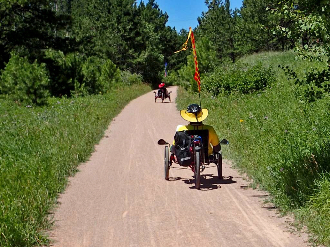 Joyous day on the Mickelson trail for these trike riders. 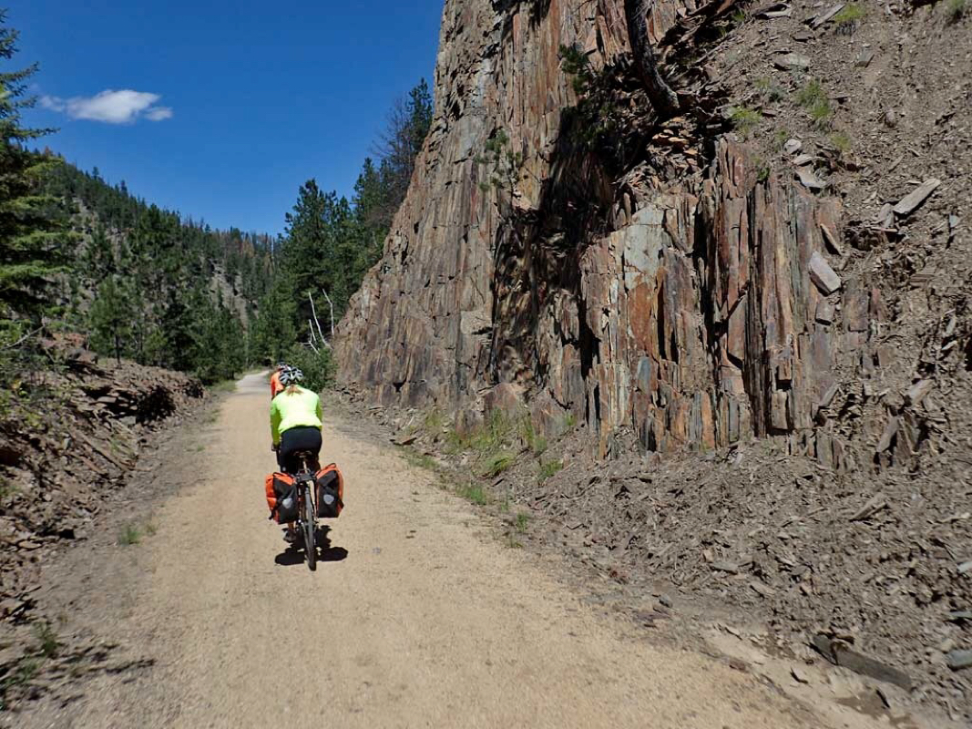 Joyous day on the trail for this couple of multi-day riders. 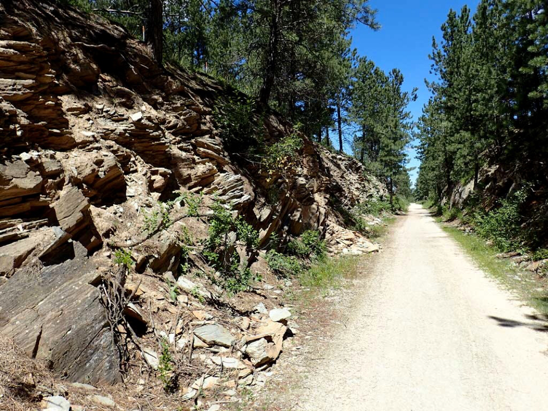 Rocks galore at the crest of one of the hills. 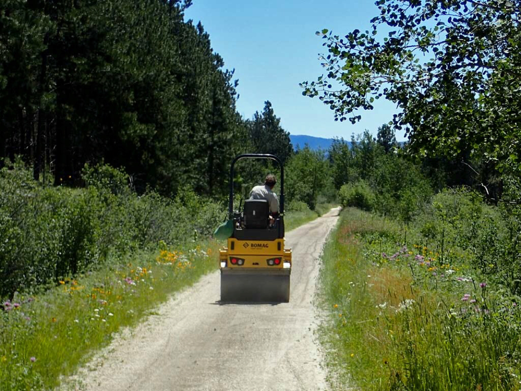 How do they keep the crushed limestone trail so compact and smooth? 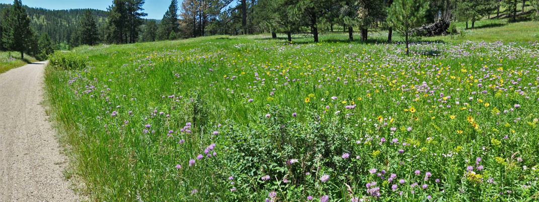 Photo merge of a Meadow full of colorful wildflowers. 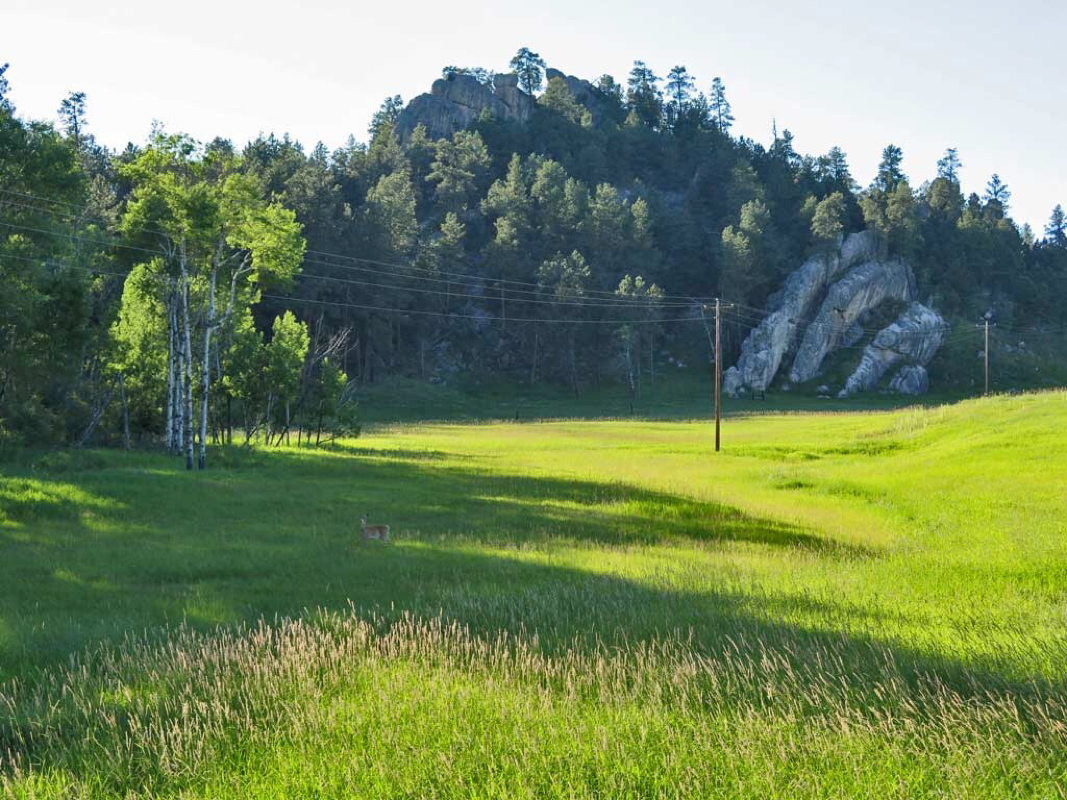 Sun low on the horizon after a long day of riding. Sad for the ride to have to end. A deer munches grass. 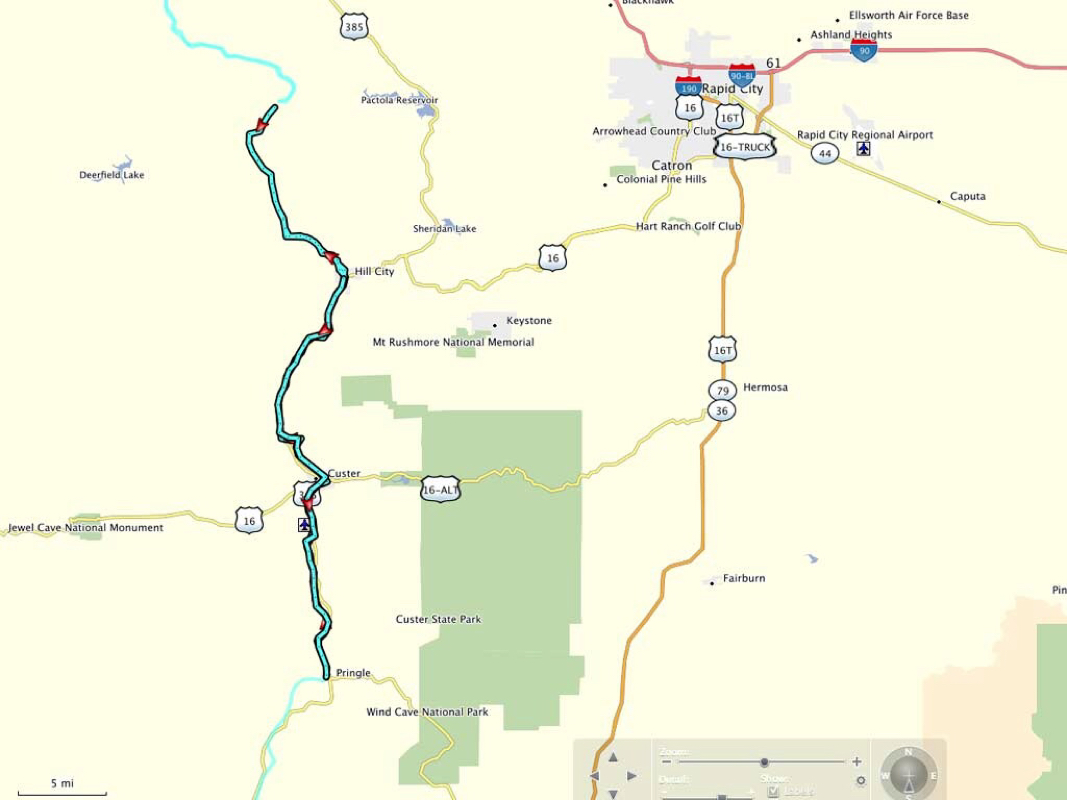 Ride track 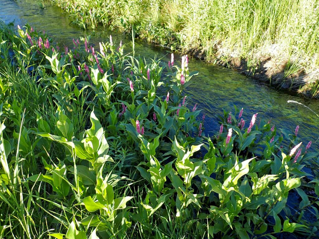 Little trail side stream. 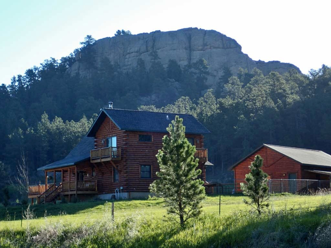 Home with a view. 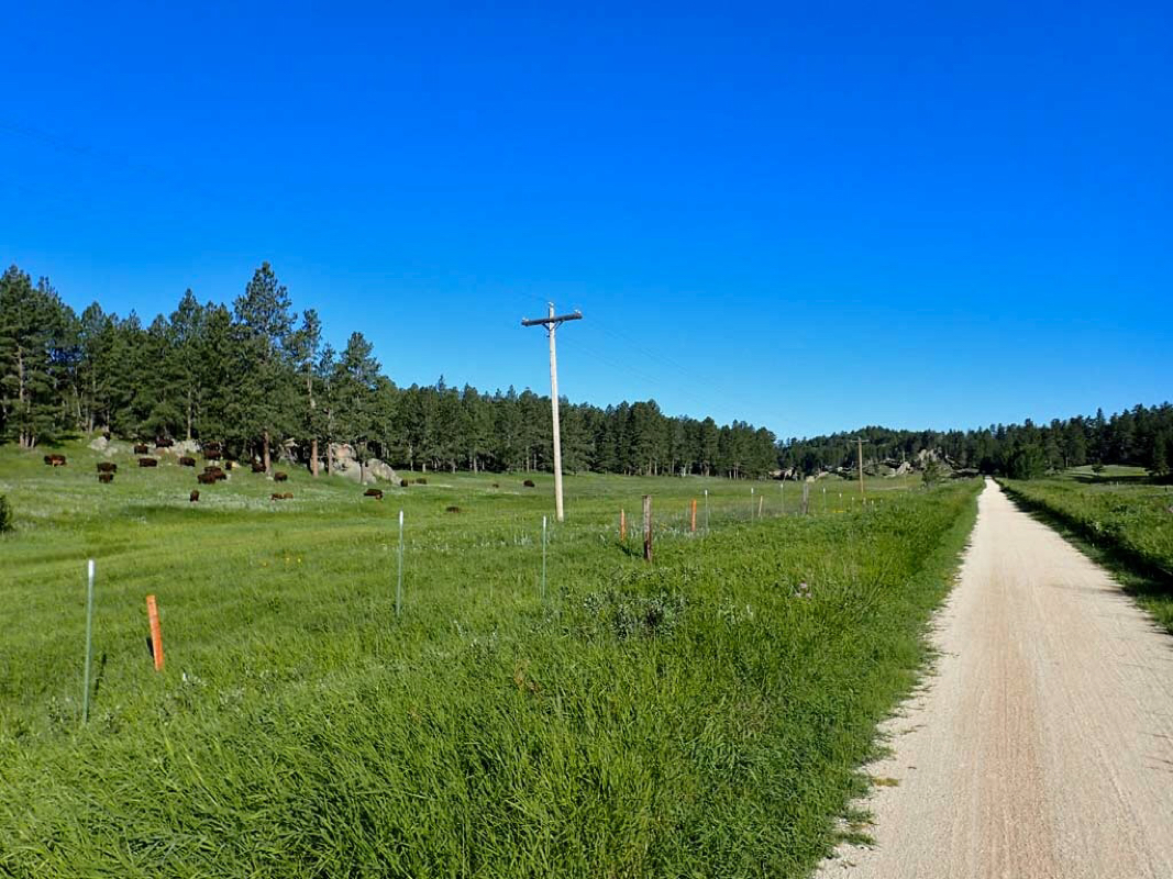 Trail side farm animals. 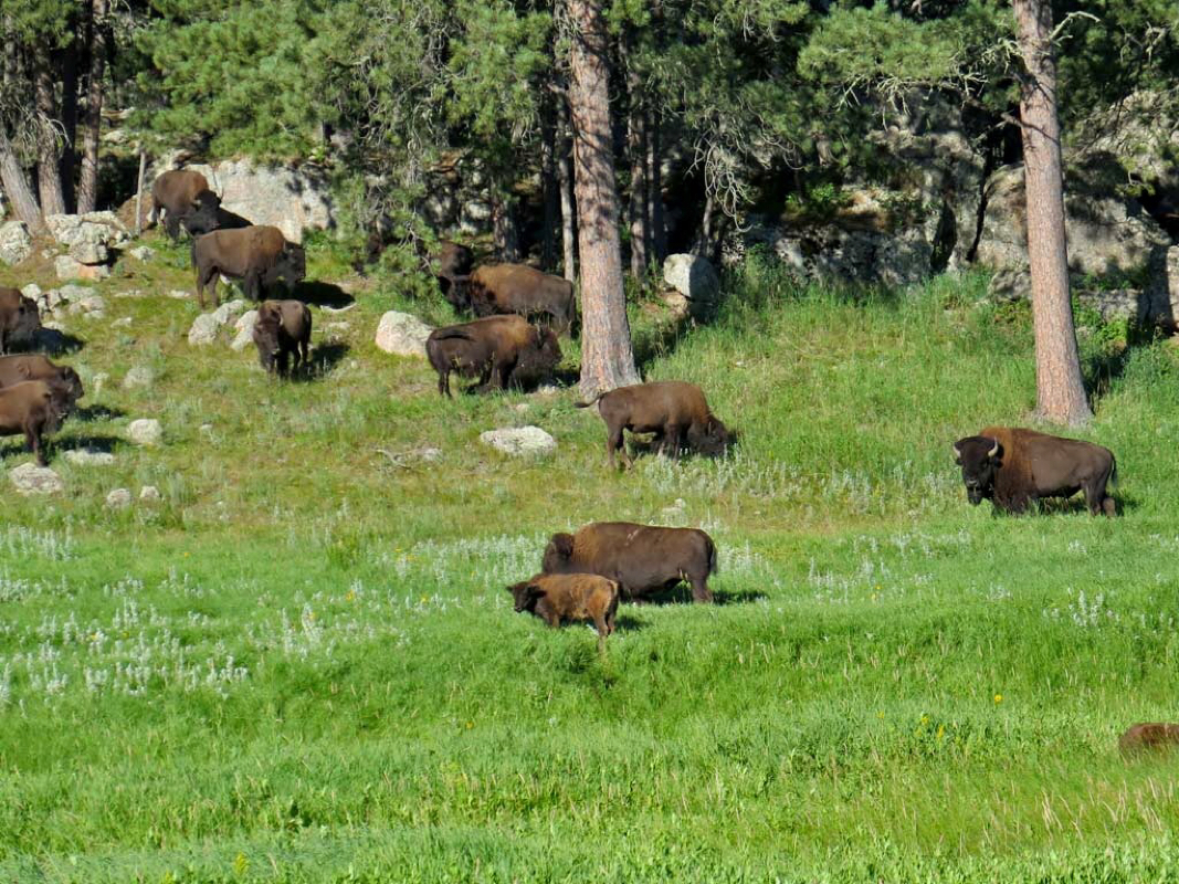 What I thought were cows turned out to be Buffalo. 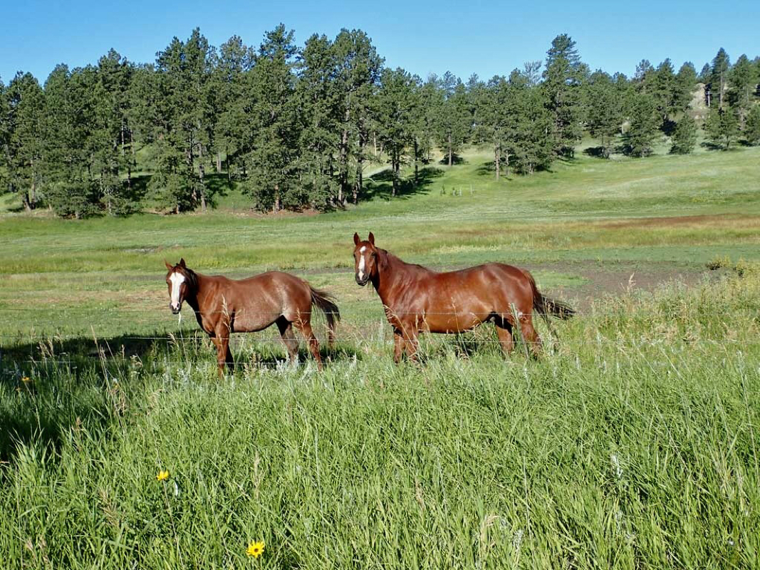 More trail side onlookers. 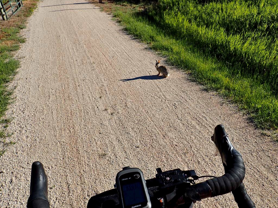 Yo, you is suppose to skidattle when a bicycle passes. 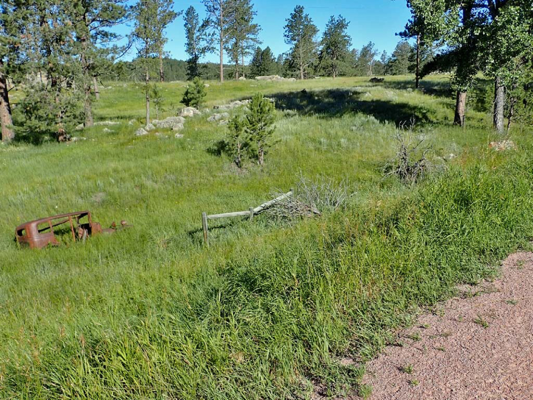 Old car rusting away. 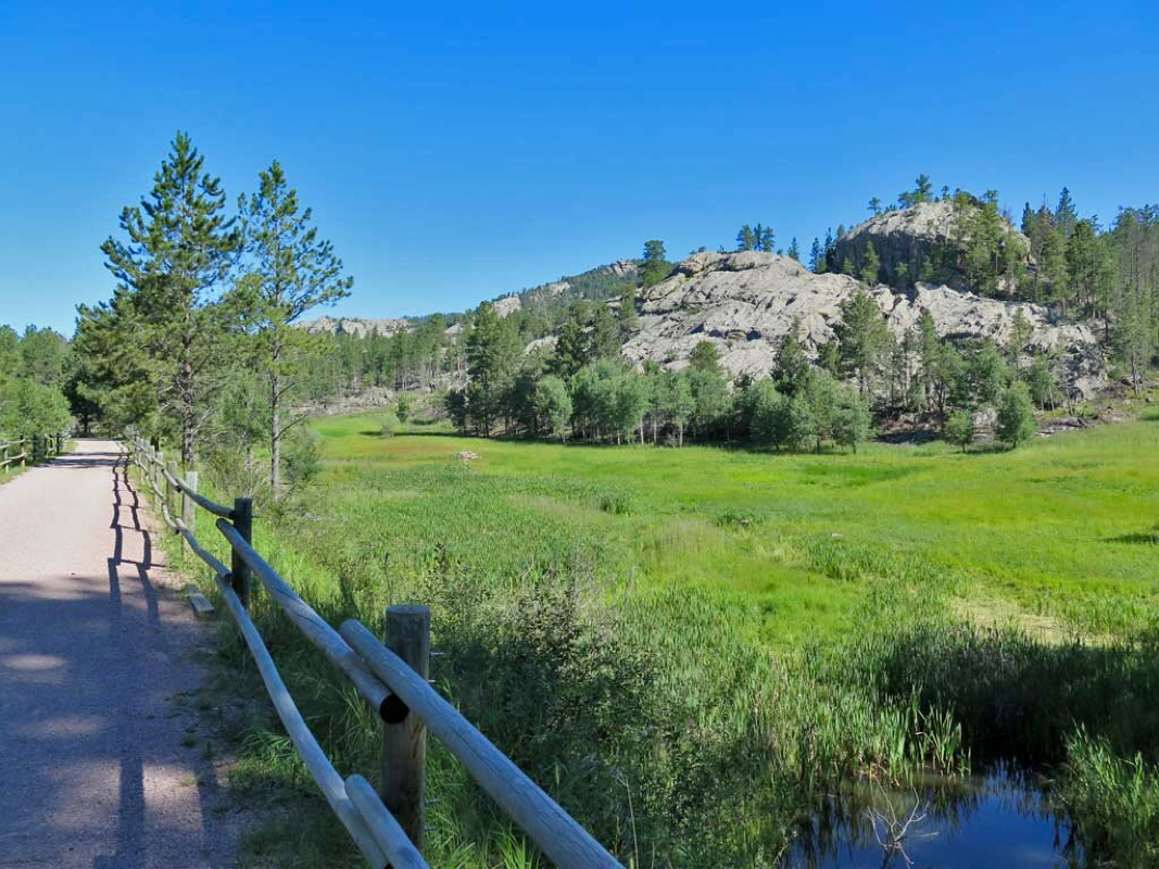 Lots of rocks. 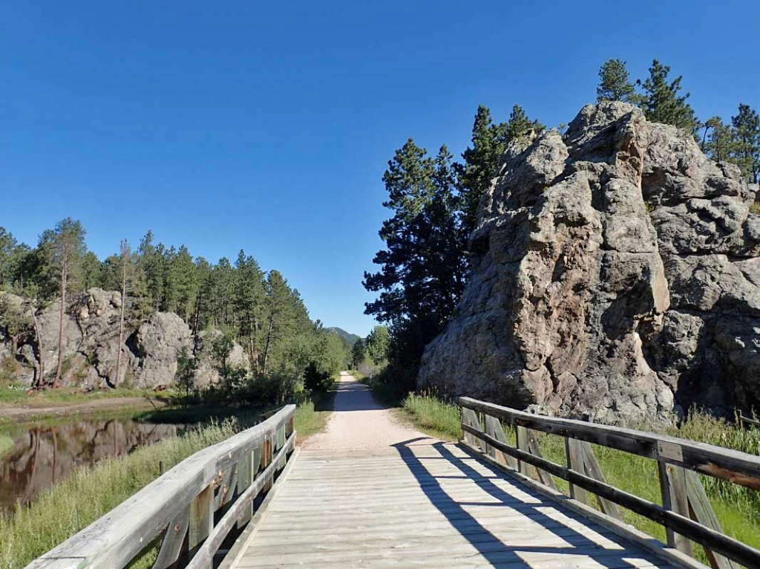 More trail side rocks. 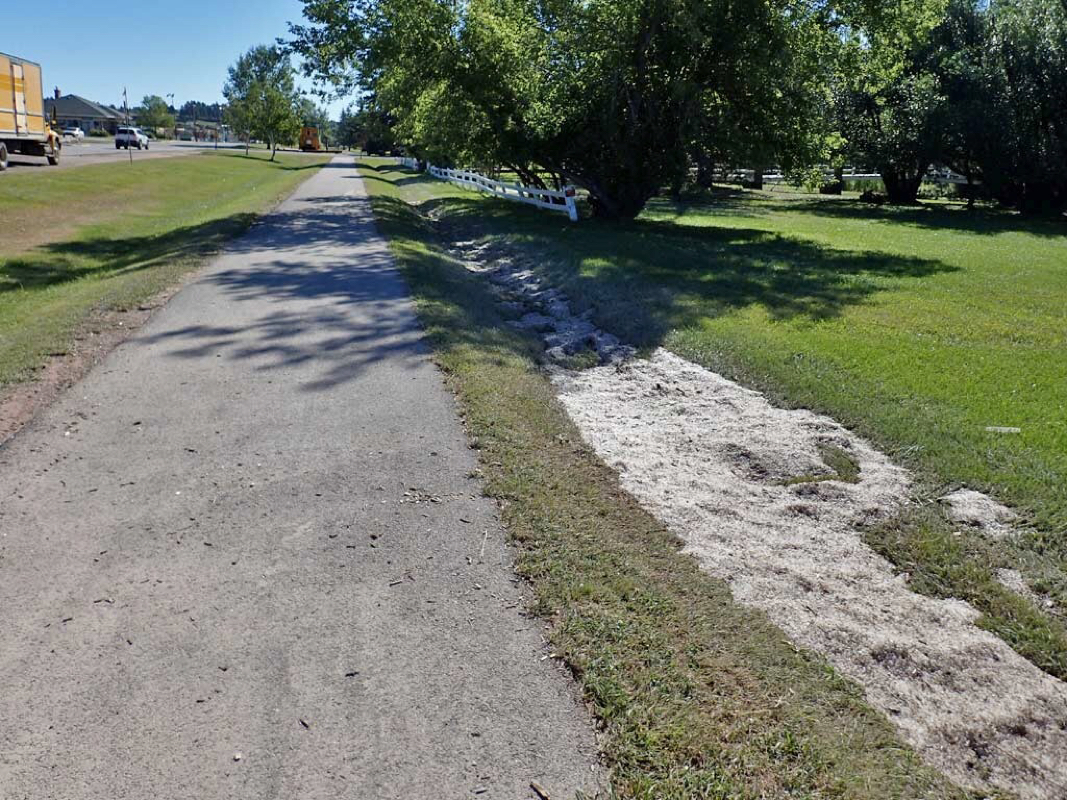 Hail still on the ground in Custer from a storm two days earlier. 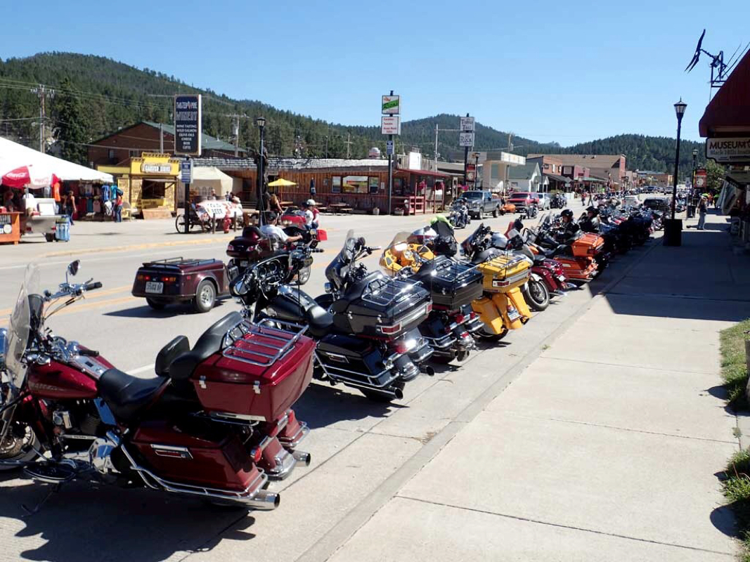 Custer being overrun by motorcycles headed to the upcoming Sturgis Motorcycle Rally. 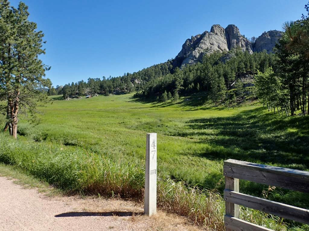 Awesome trail side scenery. 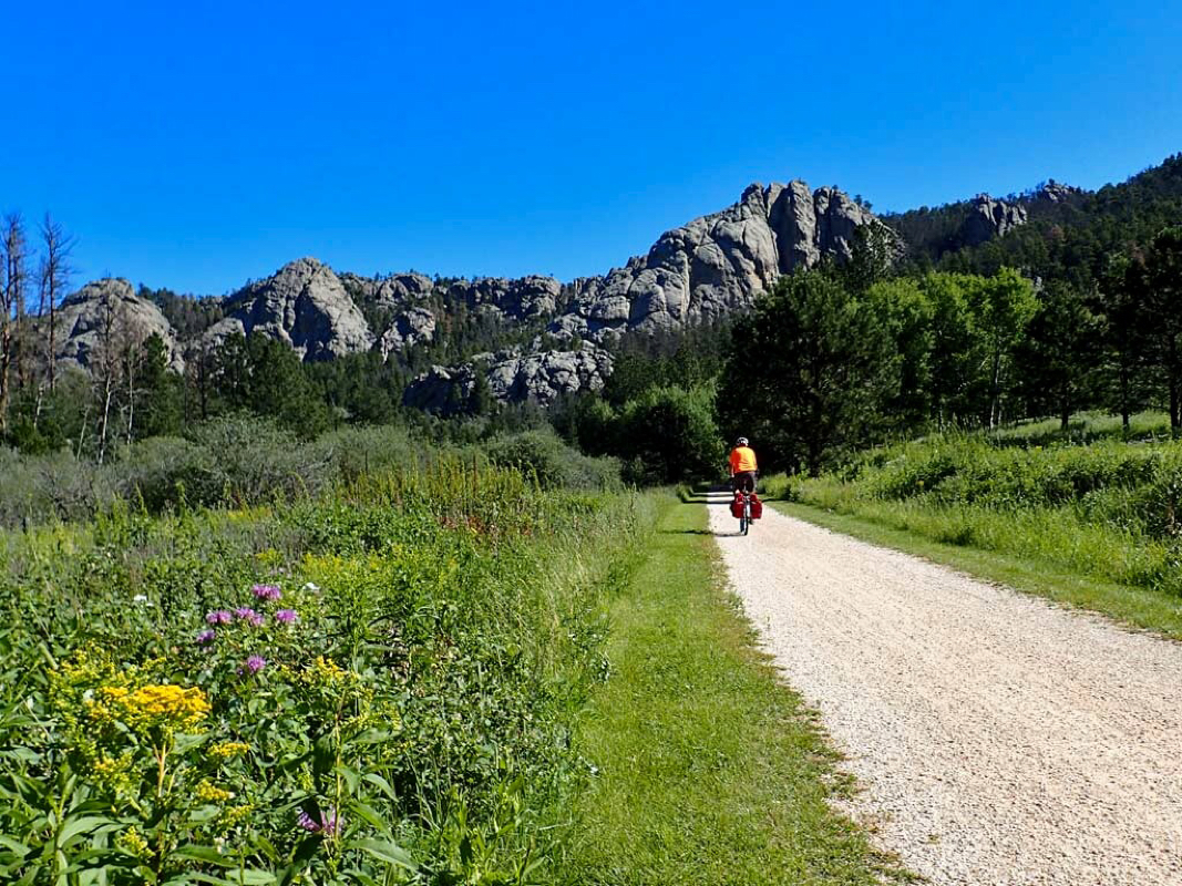 Me mesmerized by the beautiful landscape. 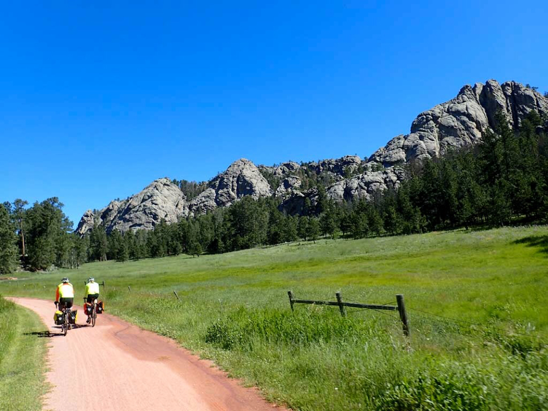 The Black Hills of South Dakota. 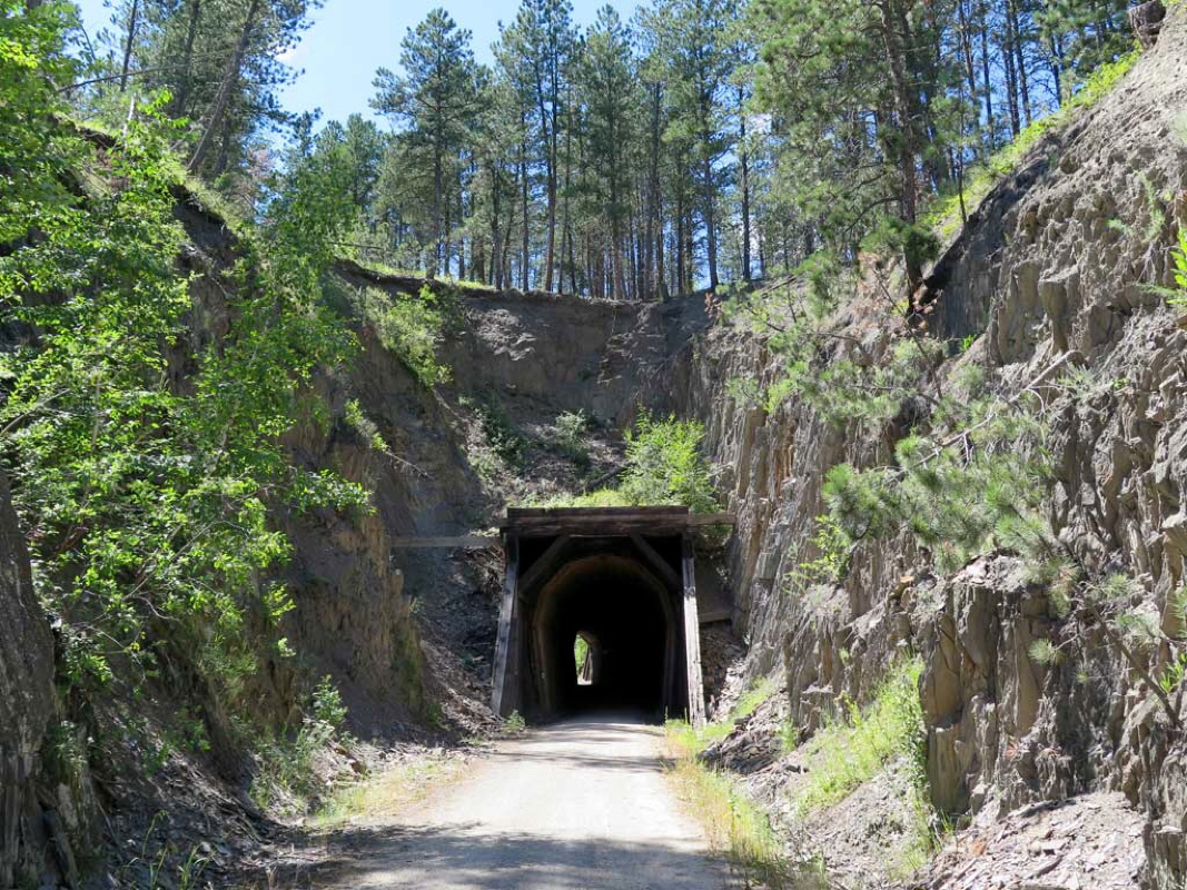 Trail going thru rock. Trails: George Mickelson Trail in South Dakota (Middle Part) Start: Pringle Trailhead (Mile Post 32). Route: Ride north to the Mystic Trailhead (Mile Post 75) and back. Distance 89 miles round trip. Weather: Sunny. Temp: 50-70 degrees. Low Elev 4900, Hi Elev 5870. Feet Ascended: 3880 Trail Material: Smooth Crushed Limestone. Trail Pass Required: $3 per day. Rating: TWO Thumbs Up. Note: For riders with a bucket list of top ten Rails-to-Trails to ride, put the George Mickelson Trail on your list. Another chilly start (45-50). No trouble finding this trailhead since the ride yesterday turned around at it. Highlights of this trip: 5 major climbs of about 600-800 feet each and a few smaller hills. All climbs were easy railroad grade slopes of about 2 percent or less. Most notable about the middle part of the Mickelson trail was the addition of a stream beside the trail in many places and many rock outcroppings. The trail side scenery was stunning. Animals abundant. Wildflowers beautiful. Seeing a herd of Buffalo off the trail was an unexpected surprise. 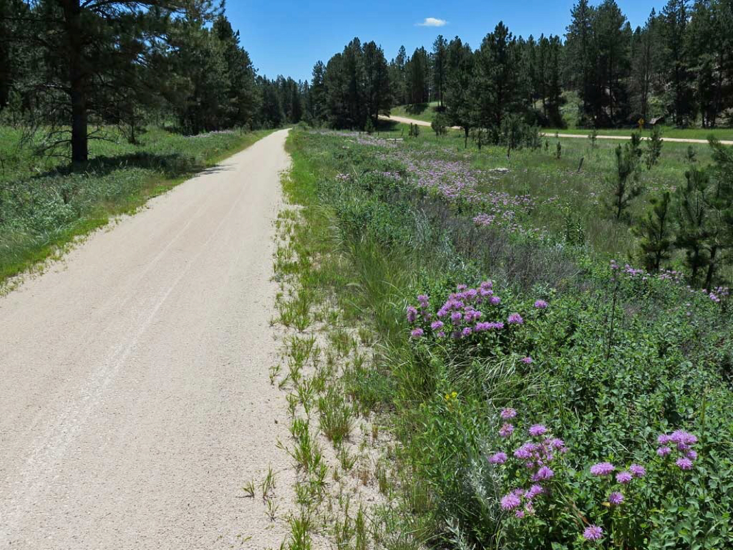 Wildflowers More photos from the south part of the George Mickelson Trail. 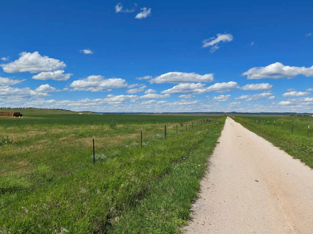 Big Valley 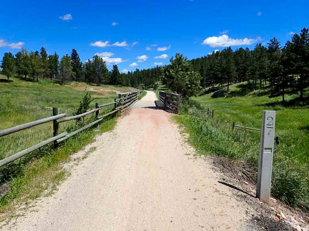 Trail markers every mile. 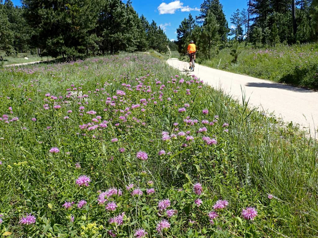 Me riding on the Mickelson Trail. 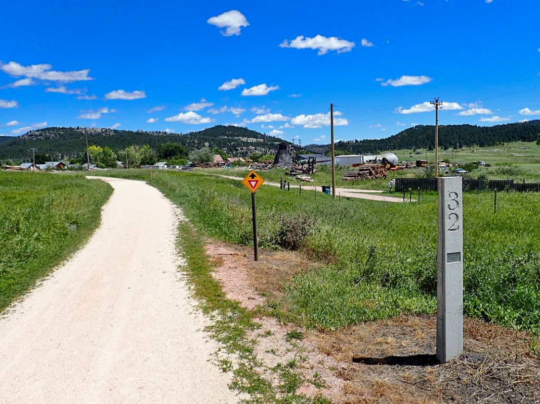 The big town of Pringle. 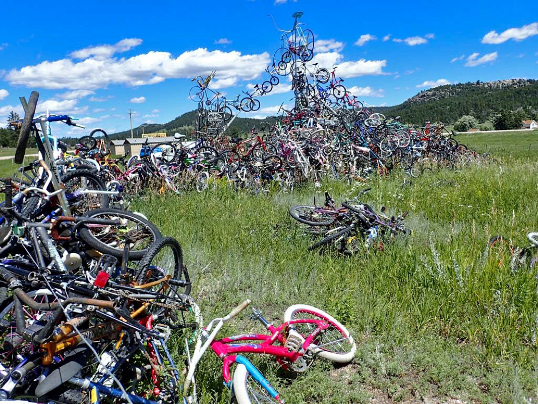 Odd sight in Pringle. 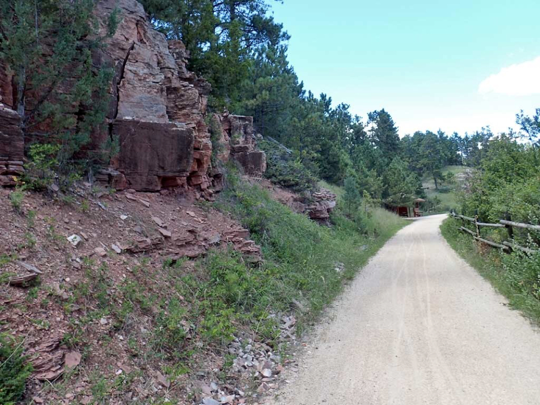 Rock hounds might like this trail. 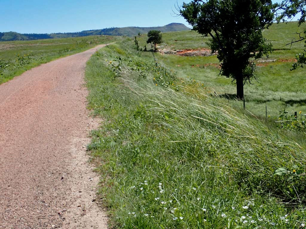 Note the 20-30 mile an hour winds bending over the grass. Only had cross winds in the big open valleys. 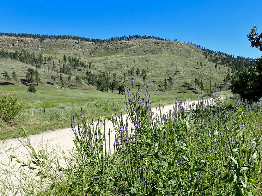 Gorgeous Trail. 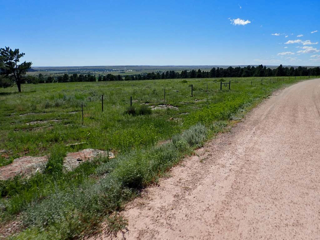 About 8 more miles back to Edgemont visible in the background. 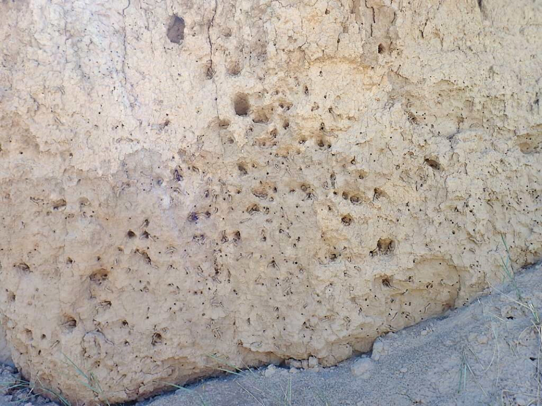 Lots of buzzing around a steep mound of dirt beside the trail. 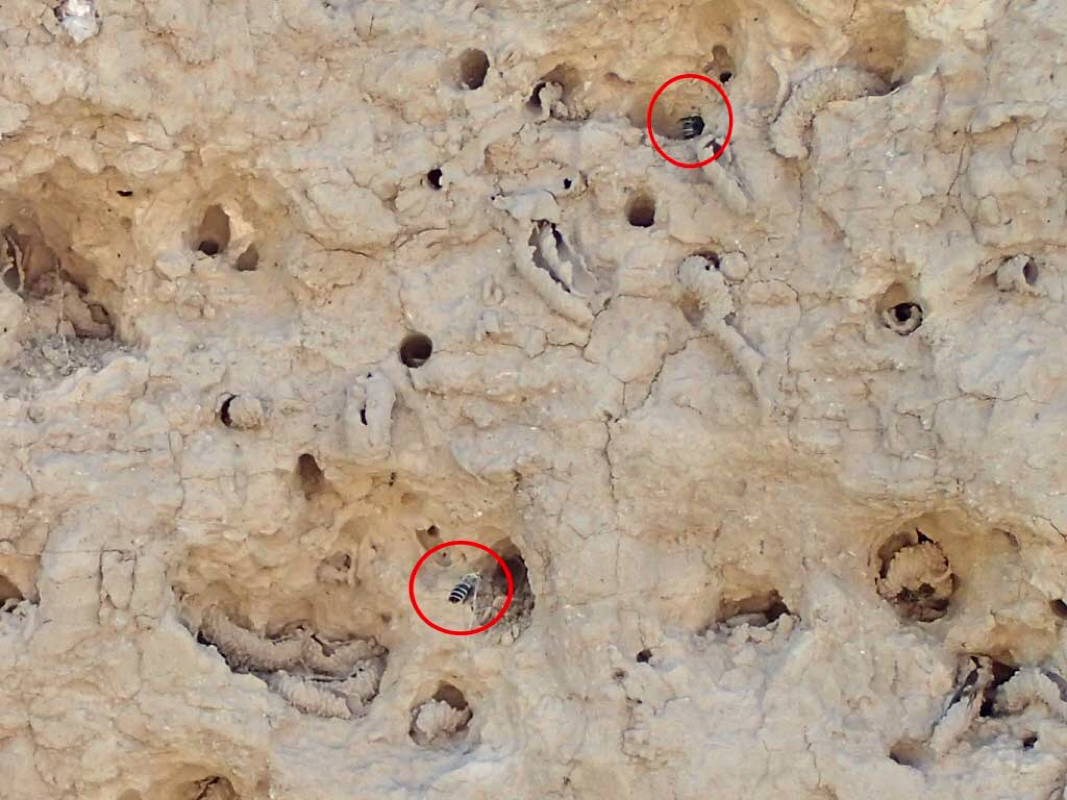 Buzzing turned out to be bees. 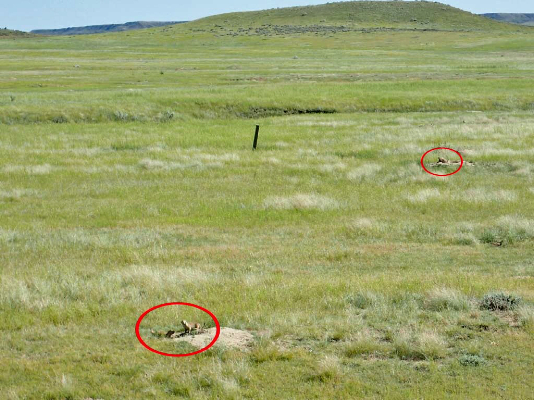 Prairie Dogs 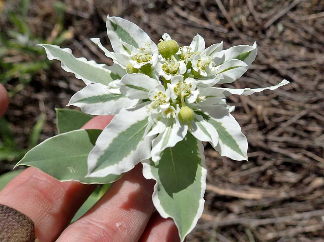 Snow on the Mountain wildflower. 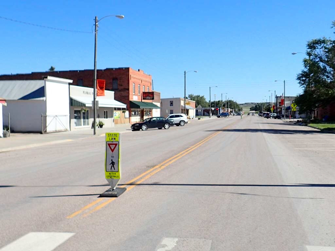 Downtown Edgemont 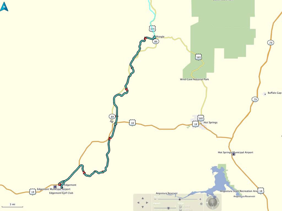 Ride track 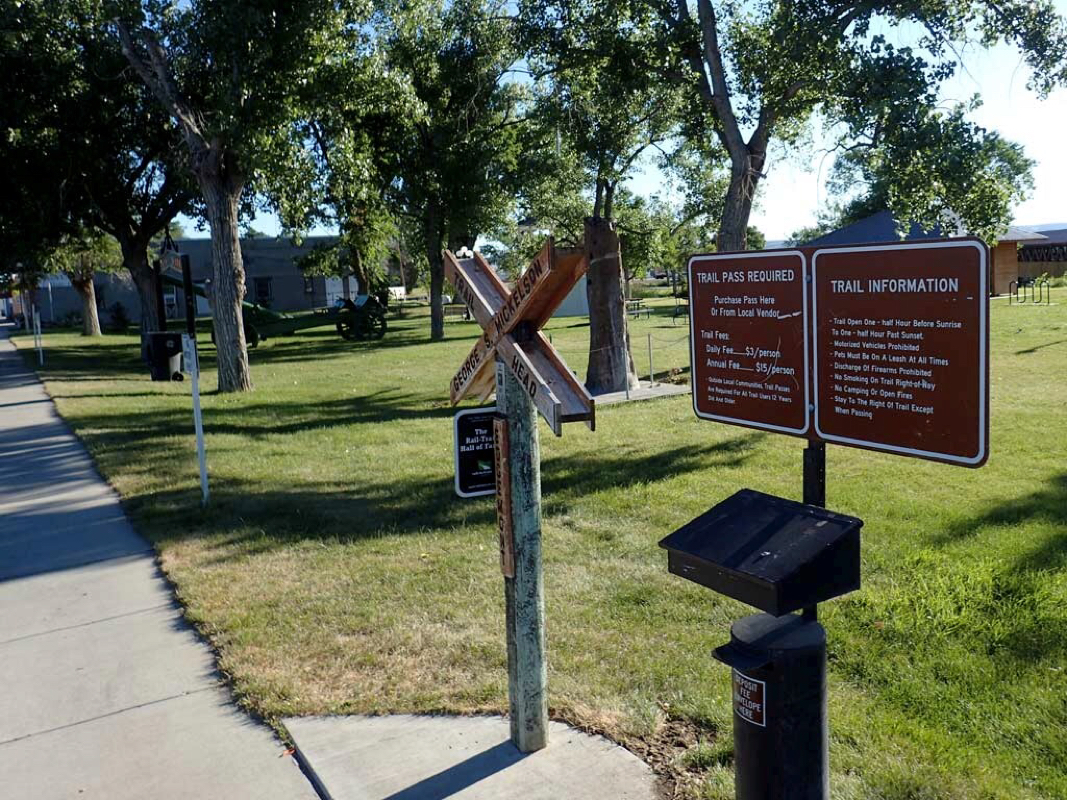 Edgemont Trailhead 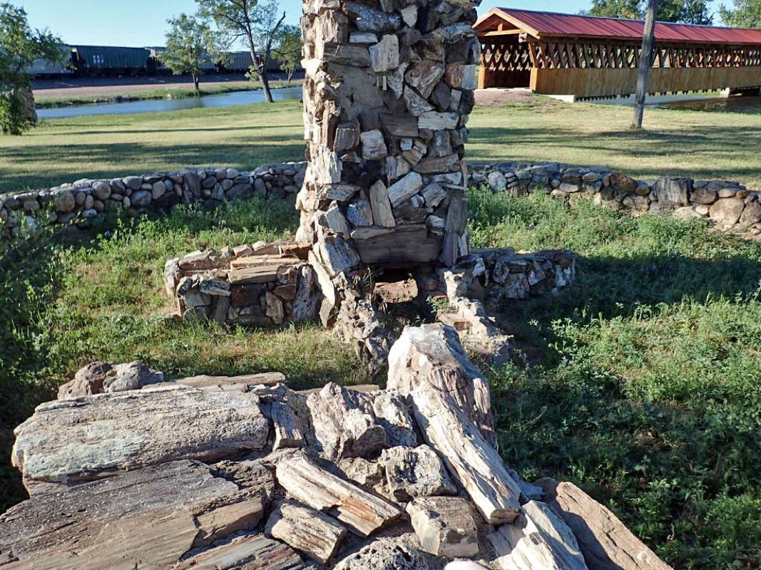 Covered bridge at the Edgemont Trailhead 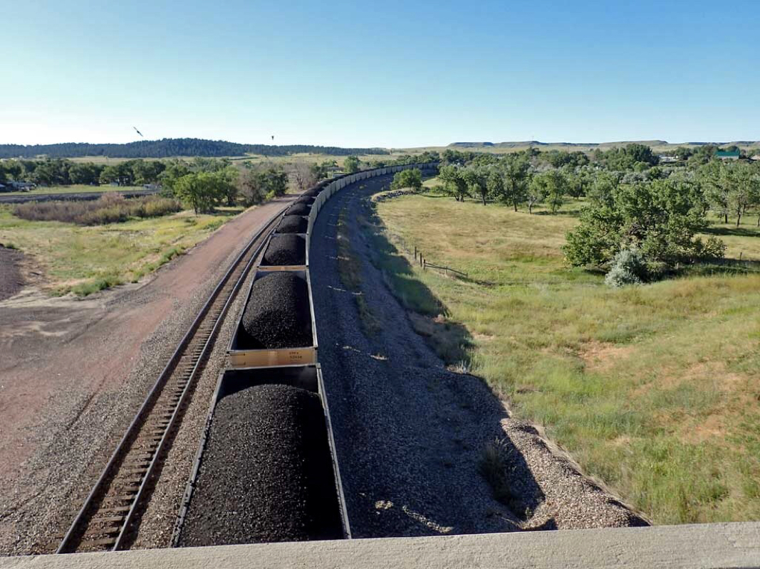 Parked train blocking the road to the start of the Mickelson Trail 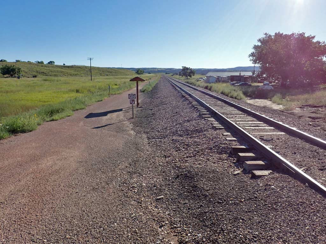 Inconspicuous start of the Mickelson Trail 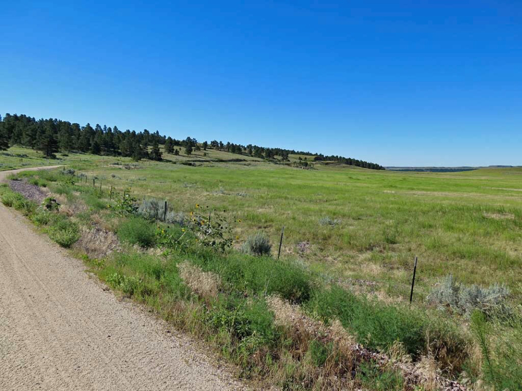 After about four miles of following a road the Mickelson trail curves off up toward the trees. 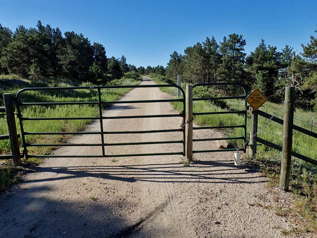 There were a couple of gate crossings on the trail. 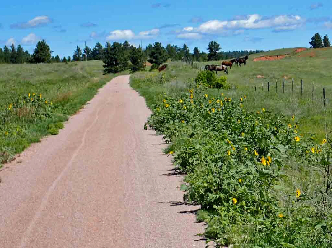 Horses 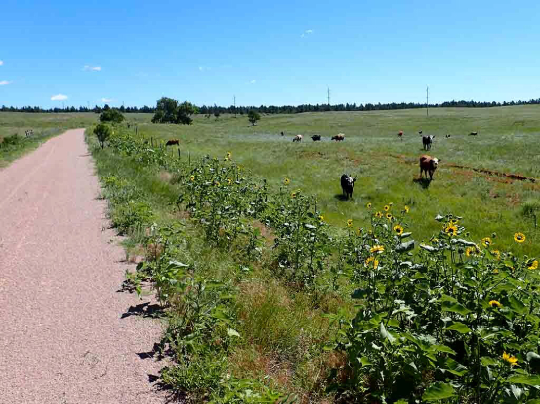 Cows 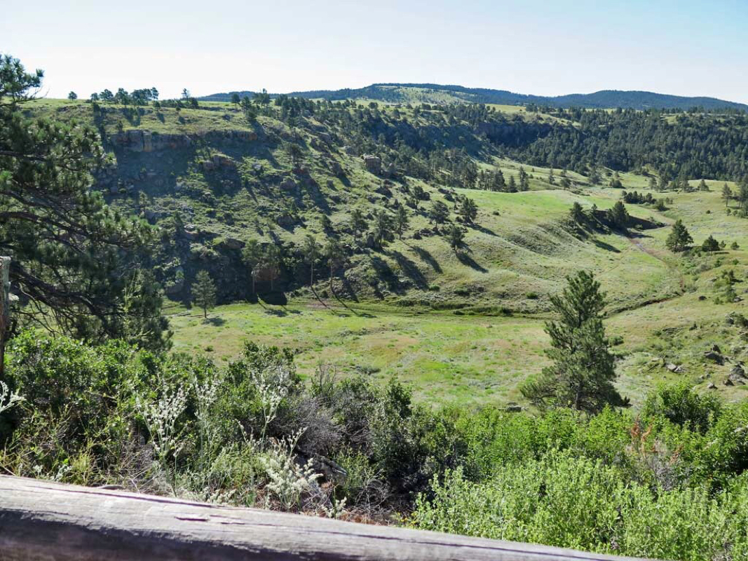 Spectacular trail side views 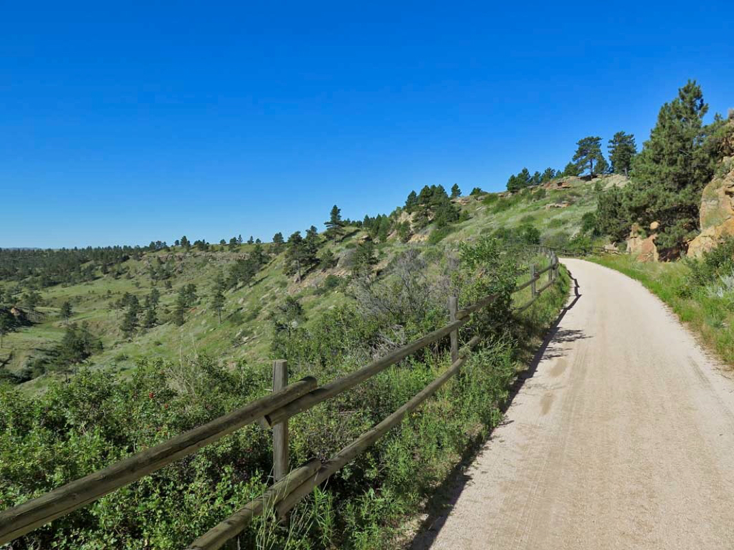 The 32 mile ride to Pringle is almost all uphill but at a mild railroad grade. 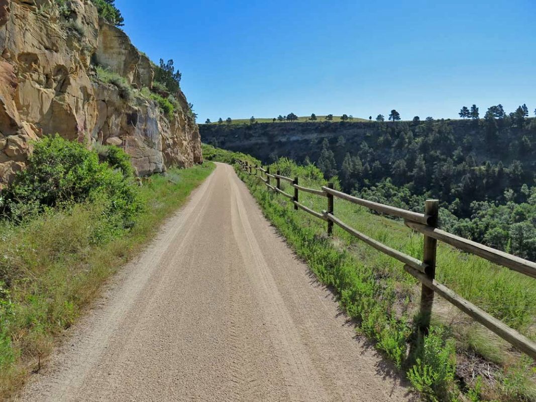 Hilly terrain 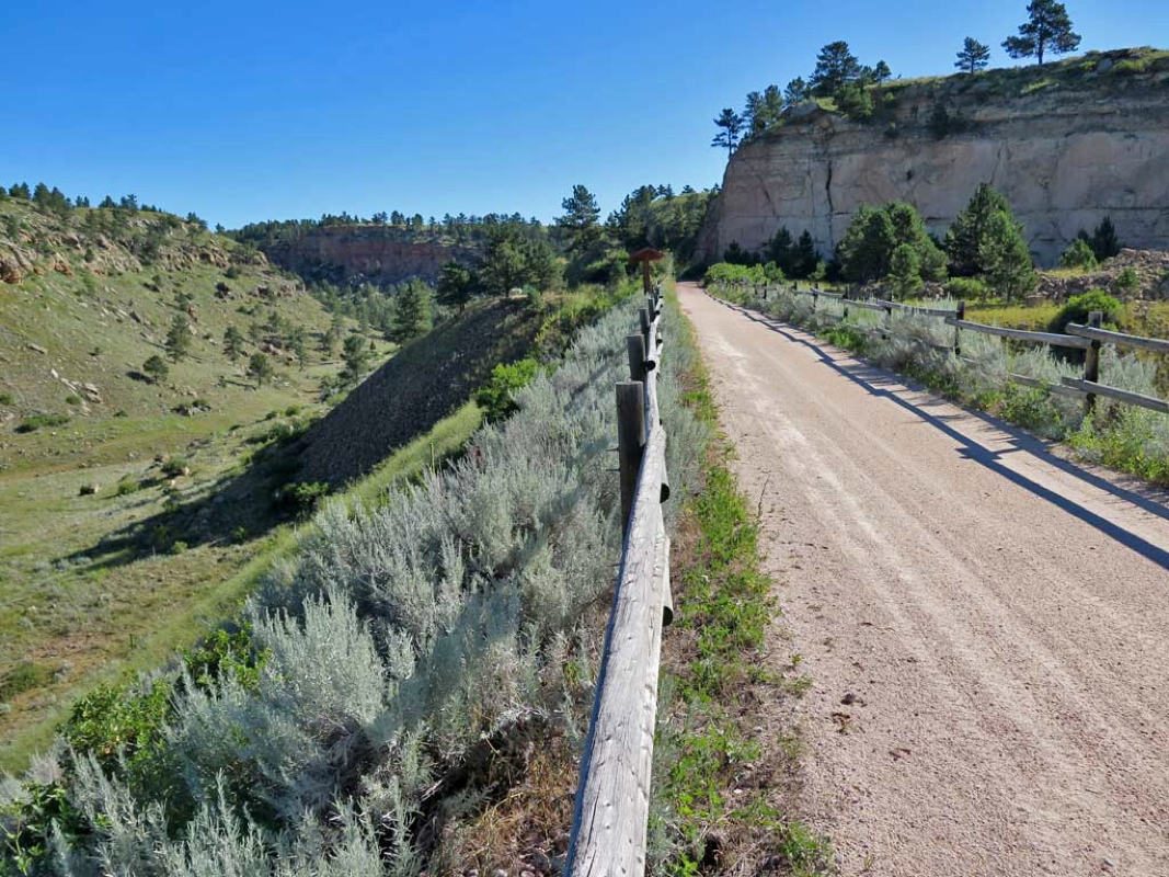 Sheep Canyon offered some stunning trail side views. 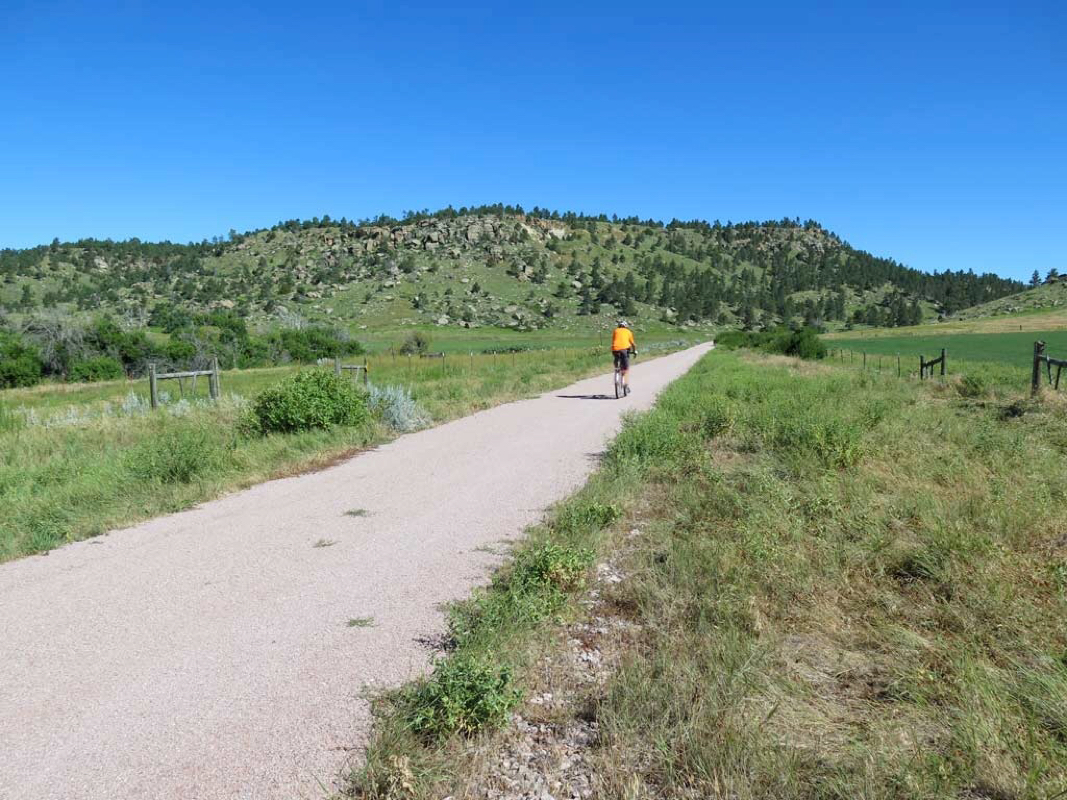 Me enjoying the George Mickelson Trail immensely. Trails: George Mickelson Trail in South Dakota (South Part) Start: Edgemont Trailhead (Southern End of Trail at Mile Post 0). Route: Ride north (mostly uphill) to Pringle trailhead and back. Distance 69 miles round trip. Weather: Sunny. Temp: 45-70 degrees. Low Elev 3430, Hi Elev 4965. Feet Ascended: 2500 Trail Material: Crushed Limestone. Trail Pass Required: $3 per day. Rating: TWO Thumbs Up. Note: For riders with a bucket list of top ten Rails-to-Trails to ride, put the George Mickelson Trail on your list. It was a very chilly start (temp about 45) after a hail dropping cold front moved through yesterday evening. Was worried the heavy rain yesterday would muddy the trail but that turned out not to be an issue. Trail was dry like it never rained. With a high wind warning advisory issued, gusty winds was another worry that turned out not to be a problem. I immediately had trouble finding the trailhead in the dinky city of Edgemont because "Main Street" does not exist. After finding the trailhead on 2nd Street and getting a trail pass, then I had problems finding the beginning of the trail. A non-moving train and a bridge closed for construction further compounded the problem of getting to the start of the trail. After a short unmarked 1.5 mile detour I finally got to the inconspicuous beginning of the trail next to a real railroad track. Highlights of this trip: The Black Hill's awesome scenery. A 1500 foot climb and canyons and prairies and woodlands and valleys and farmland and animals made this a ride I did not want to end. The trip back was mostly downhill so there was a lot of coasting and relaxing. Trail info warns to beware of rattlesnakes on the lower part of this trail. Good advice. While I was gazing at the beautiful hills in the distant I rode right over a rattlesnake. Only saw the rattlesnake right as it coiled back to strike. Thankfully the rattlesnake that no doubt was startled by the big bicycle did not strike out at my foot which stayed clipped into the pedal. There was no time to lift the leg out of the way. The rest of the trip I looked closely at every twig on the trail before riding near it. 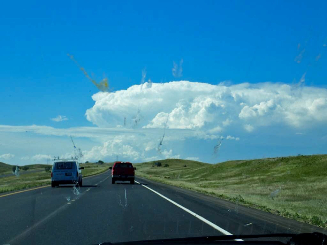 Towering storm clouds on the horizon. Trails: No bicycle riding today - all driving. It is a long drive to South Dakota where I was heading to ride the George Mickelson Trail (108 miles long). I chose to head to South Dakota because a cold front was pushing through and the next few days in SD temps were suppose to be in the 50s-70s while the rest of the country was in a heat bubble. As I was approaching Rapid City storm clouds from the leading edge of the cold front could be seen towering on the horizon. Due to the ridiculous tourist gouging motel prices in Rapid City I headed south to Hot Springs. At least the prices in Hot Springs were more reasonable until Friday when they said the price for the same room would more than double. The big Sturgis Motorcycle rally was starting at the end of the week and it had motel prices in the Black Hills for places like Day's Inn soaring to over 400 dollars for a room per night. If a hurricane knocked out power and created a high demand for ice and racketeers started price gouging on ice by raising prices from $2 for a bag of ice to $20, someone would go to jail. But apparently it is all right for Motels to jack up their prices when they feel there is high demand for their rooms. Anyway, I used Hot Springs as a home base for 3 days of riding on the Mickelson trail. 5 minutes after checking into the motel the cold front starting moving through. Temperatures dropped from the 90s to the 60s in minutes as the hail started to fall. Hail was big enough to leave small dents in the roof of my car. Thank God the windshield was not broken. 20-30 miles north in Custer and Hill City, hail as big as baseballs (3-4 inches) came crashing down. The hail in Custer lasted about 15 minutes and when all was over, there were inches of ice on the ground. When I rode through Custer two days later, there was still piles of hail in some of the ditches left over from the storm. 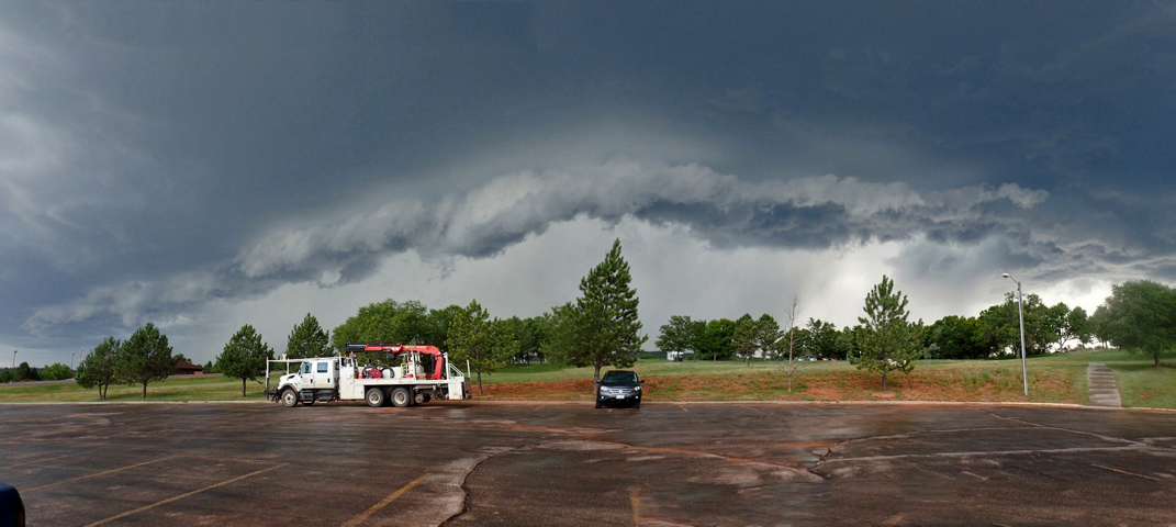 Edge of the Cold Front 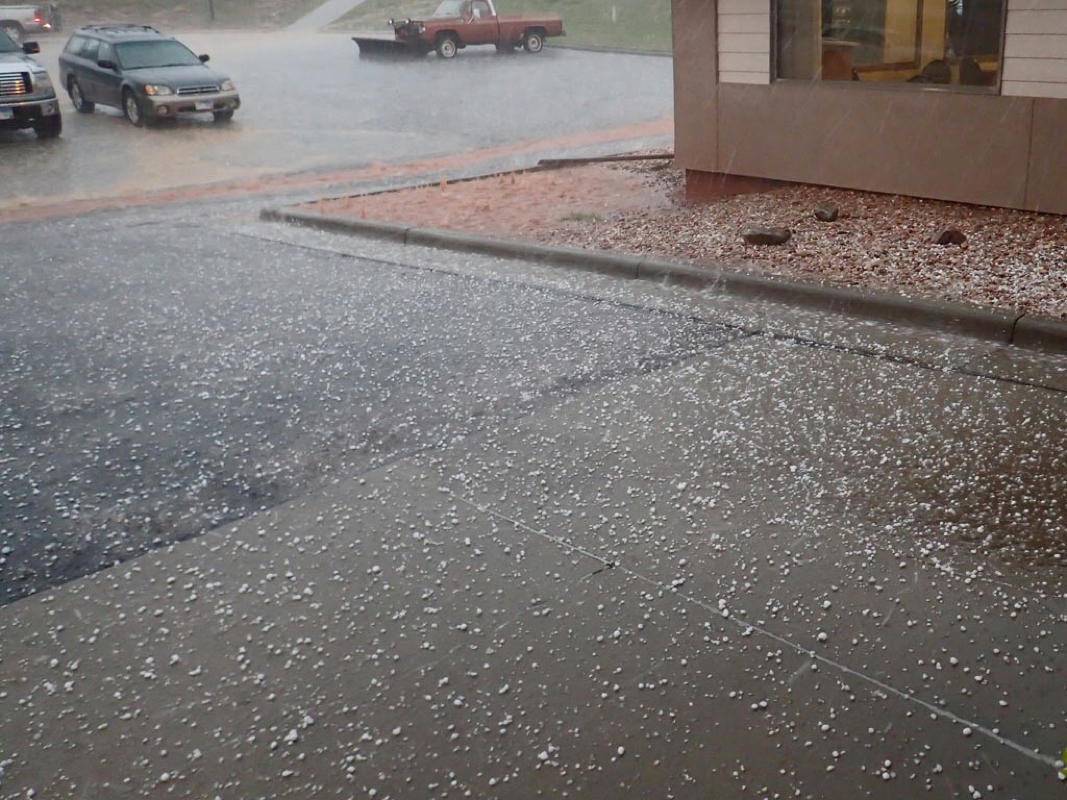 One Hail of a storm. 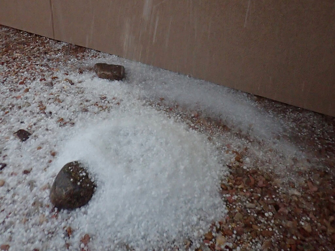 Hail from the roof starting to pile up. 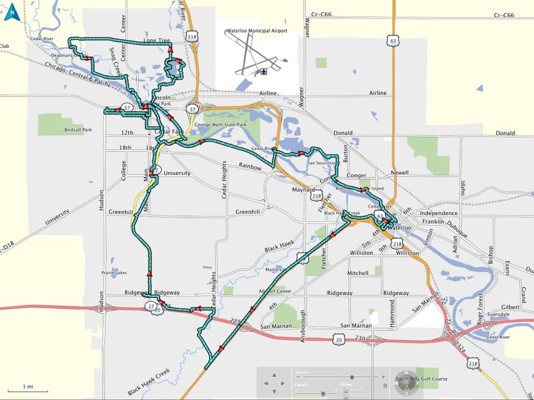 Ride Track 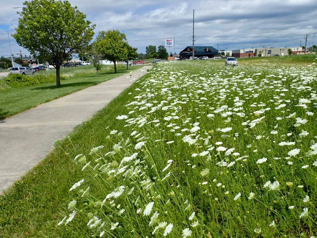 Wildflowers were abundant. 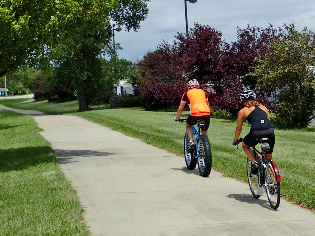 Whoa. Look at the fat tires on that bike. 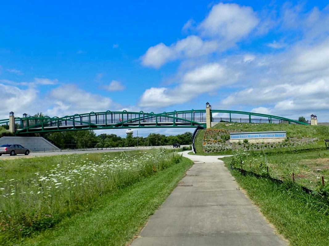 The Mayor's Pedestrian Bridge 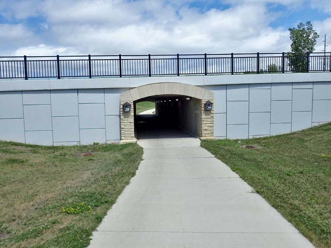 A tunnel 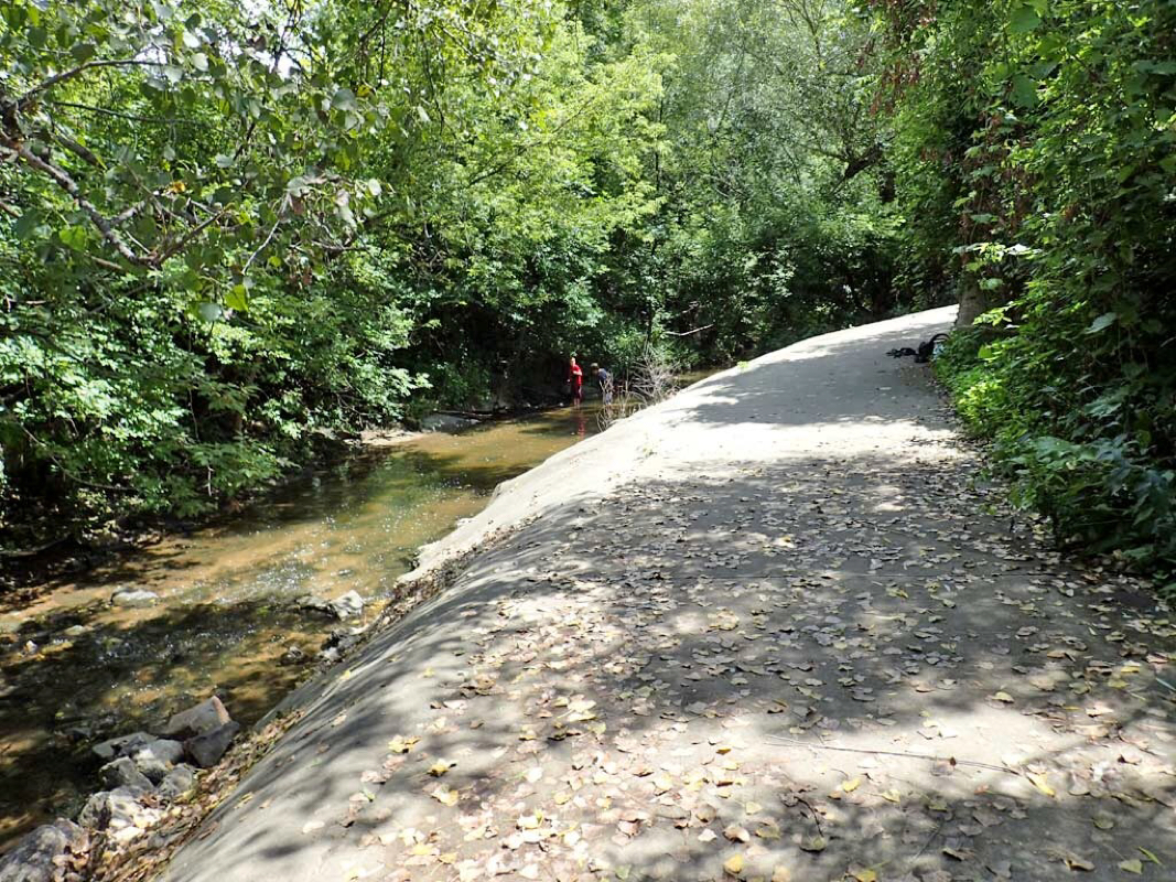 No railing along this trail drop off to the creek. 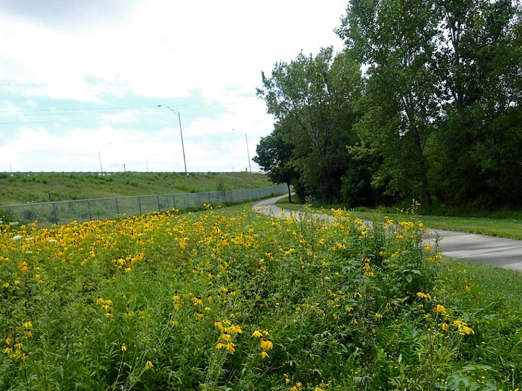 Yellow Wildflowers 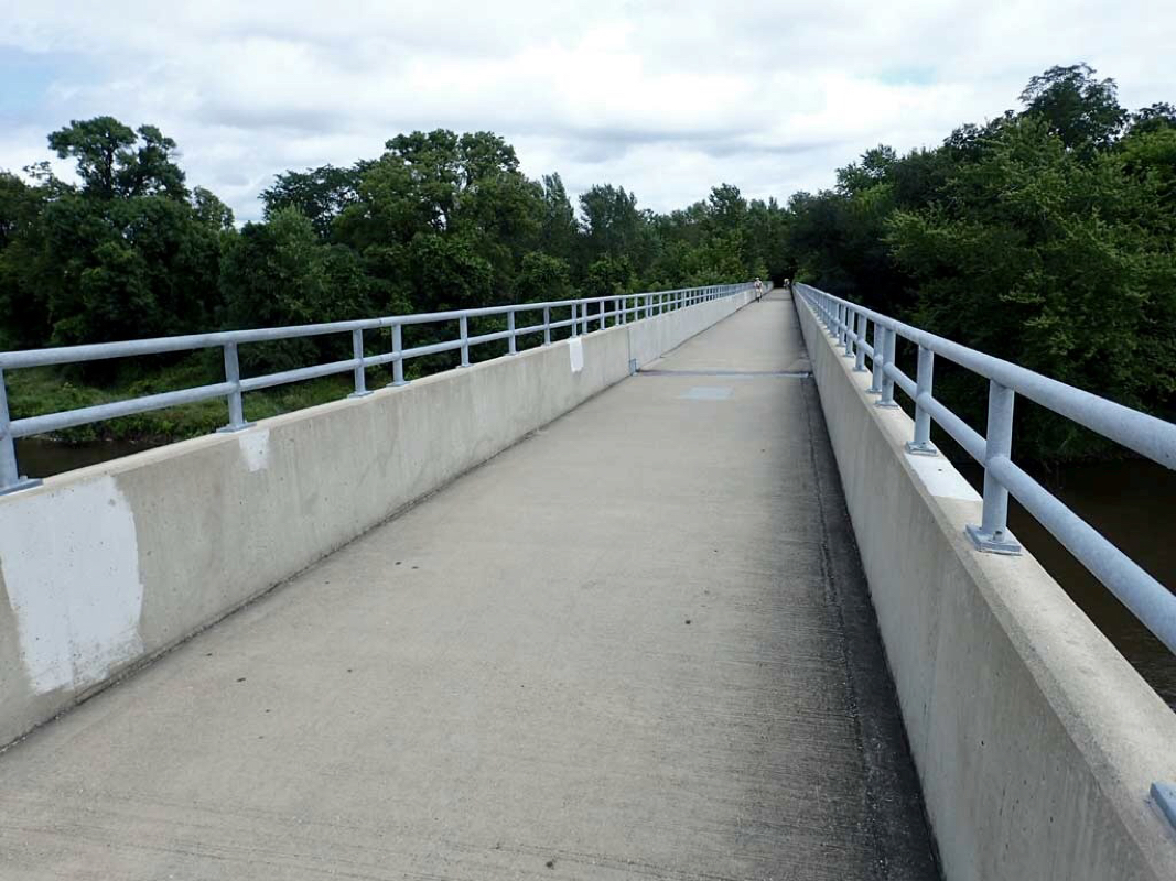 Pedestrian only bridge 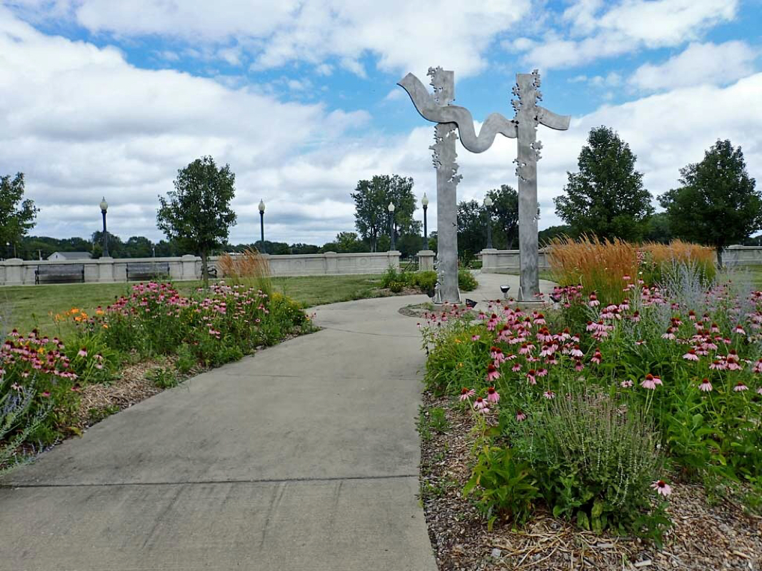 Sculpture in the Park 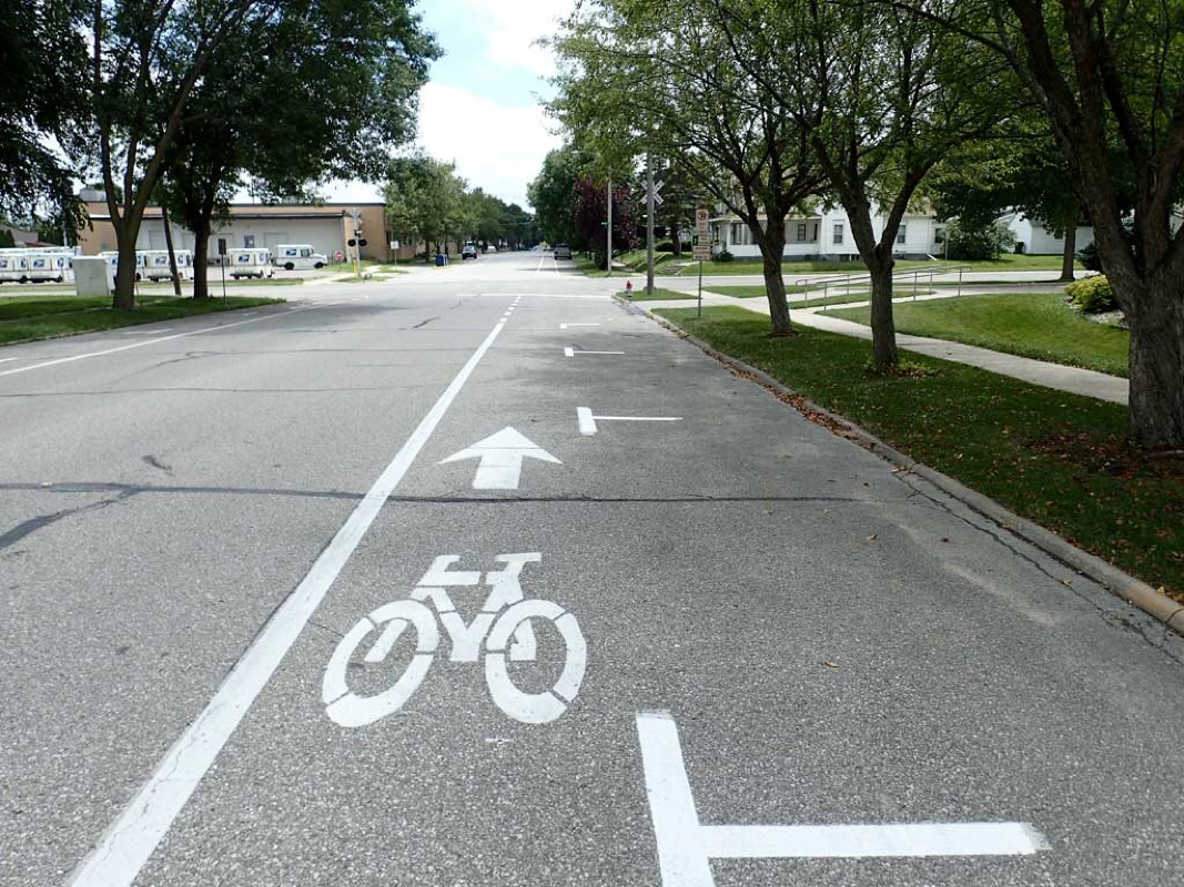 Bike lanes in little Cedar Falls. 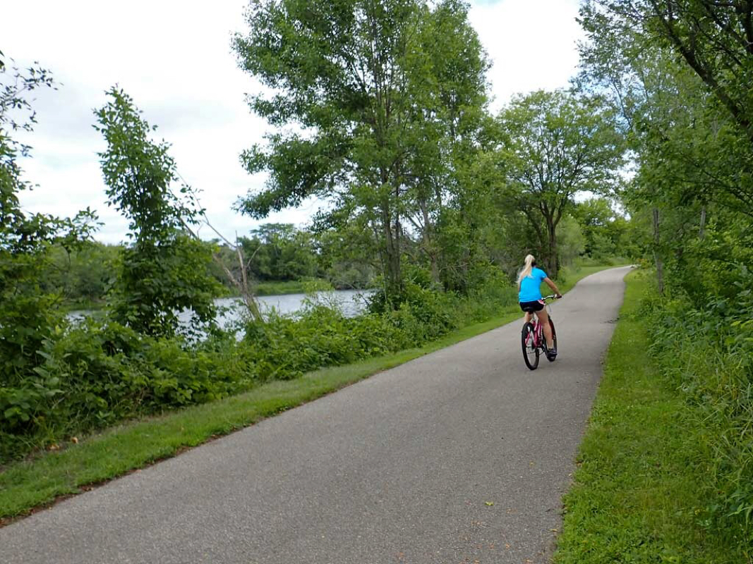 Nice smooth asphalt 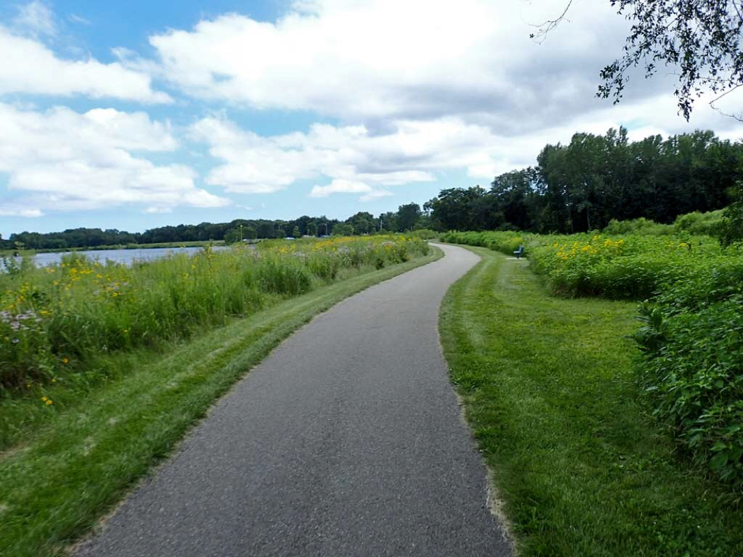 Lakeside trail 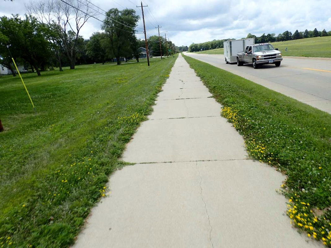 Roadside trail (wide sidewalk) 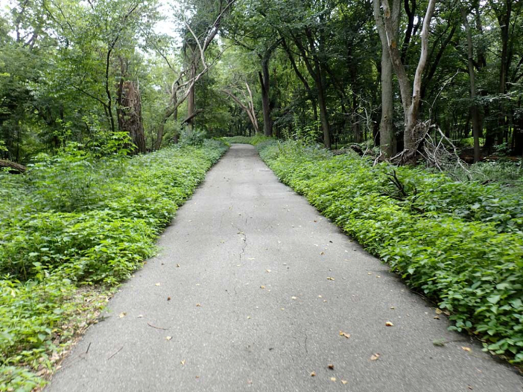 Swampland trail 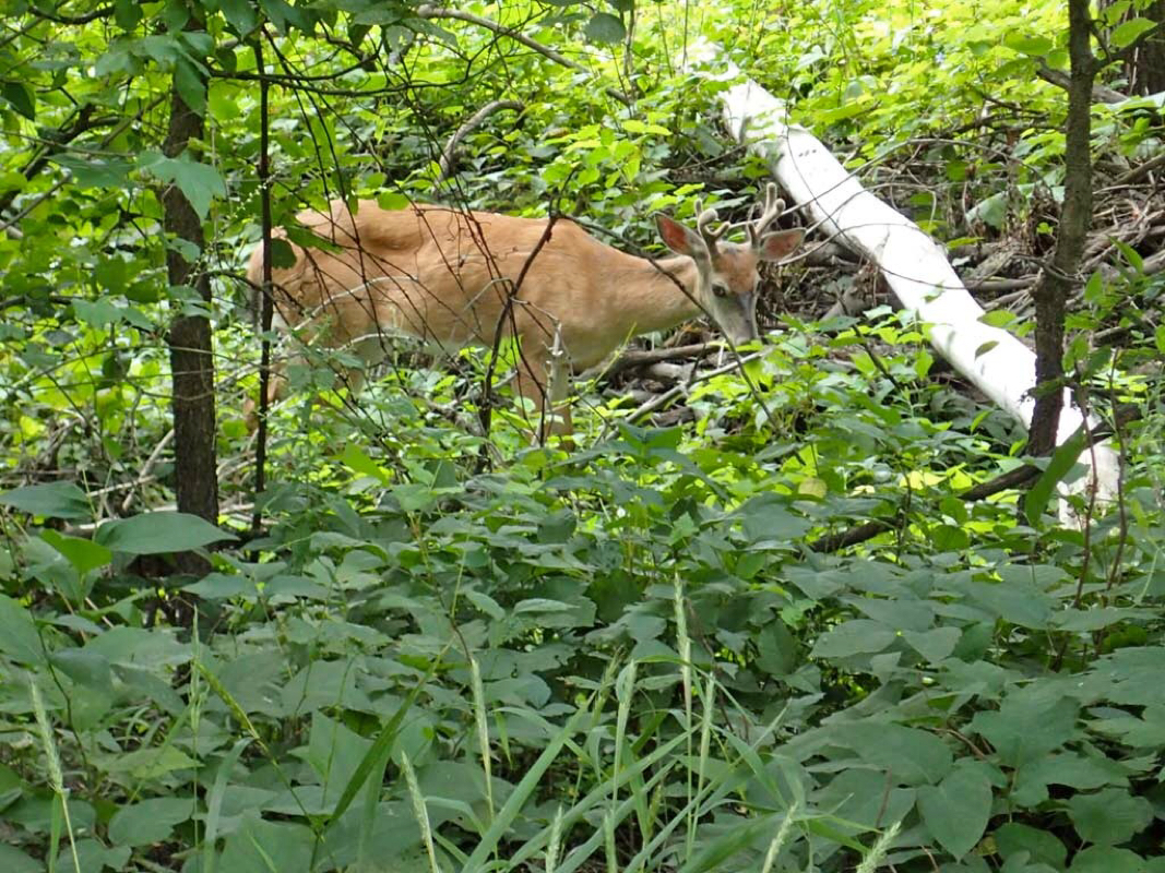 Deer munching on leaves paying no attention to passing cyclists. 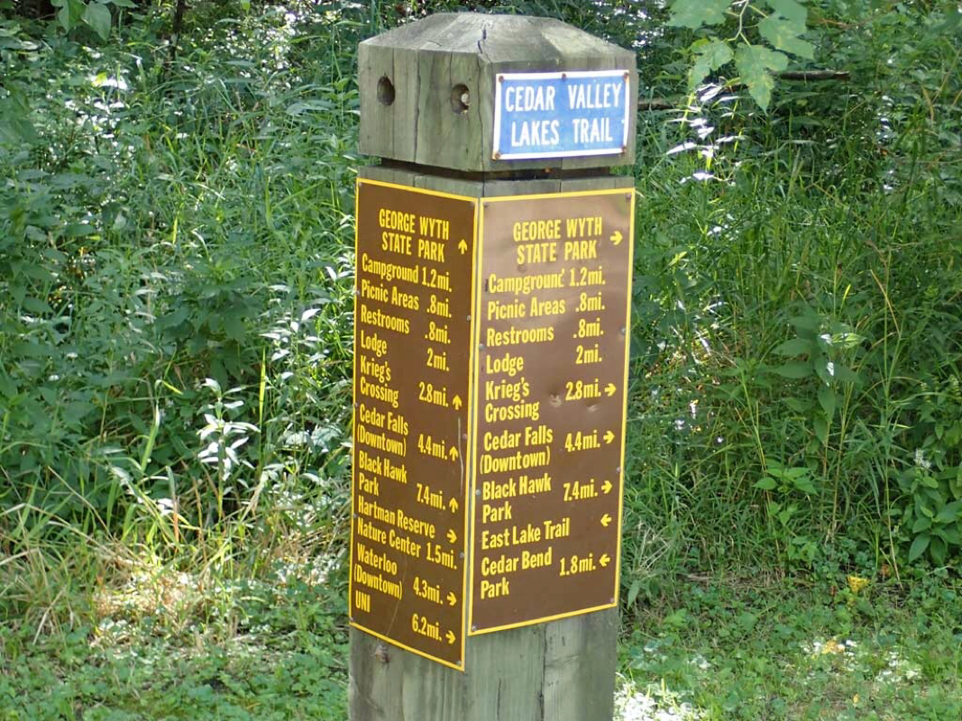 Wow. A trail system with real destinations. 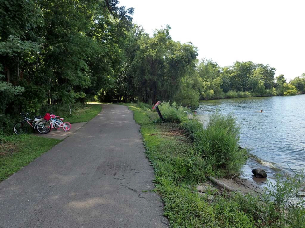 Trail side swimming hole. 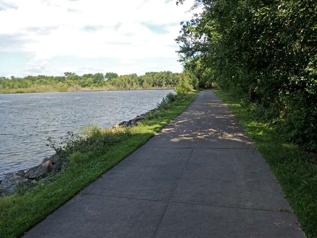 Wide variety of open scenery. 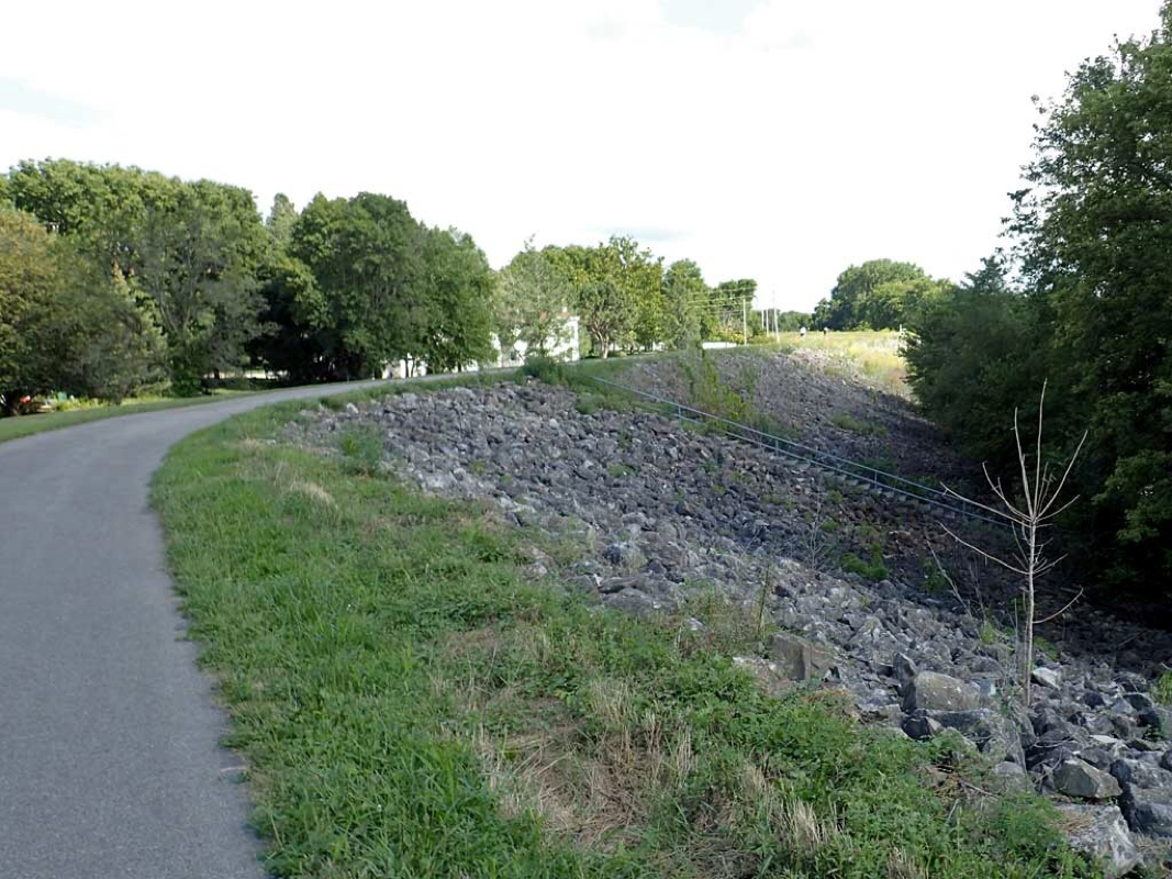 Riding on top of the River levee 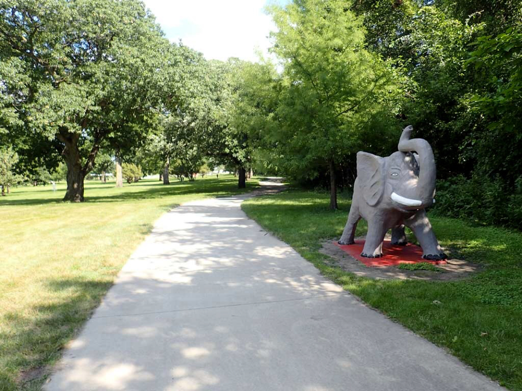 Riding through parks. 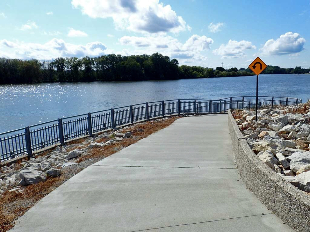 Ramp to the riverside trail 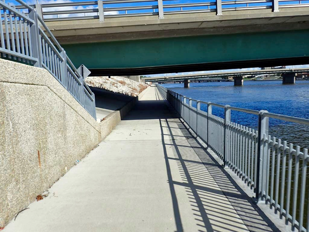 Riding along Cedar River 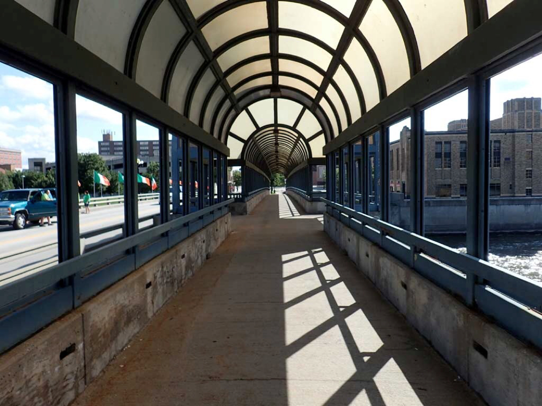 Riding over Cedar River in a pedestrian safe crossing 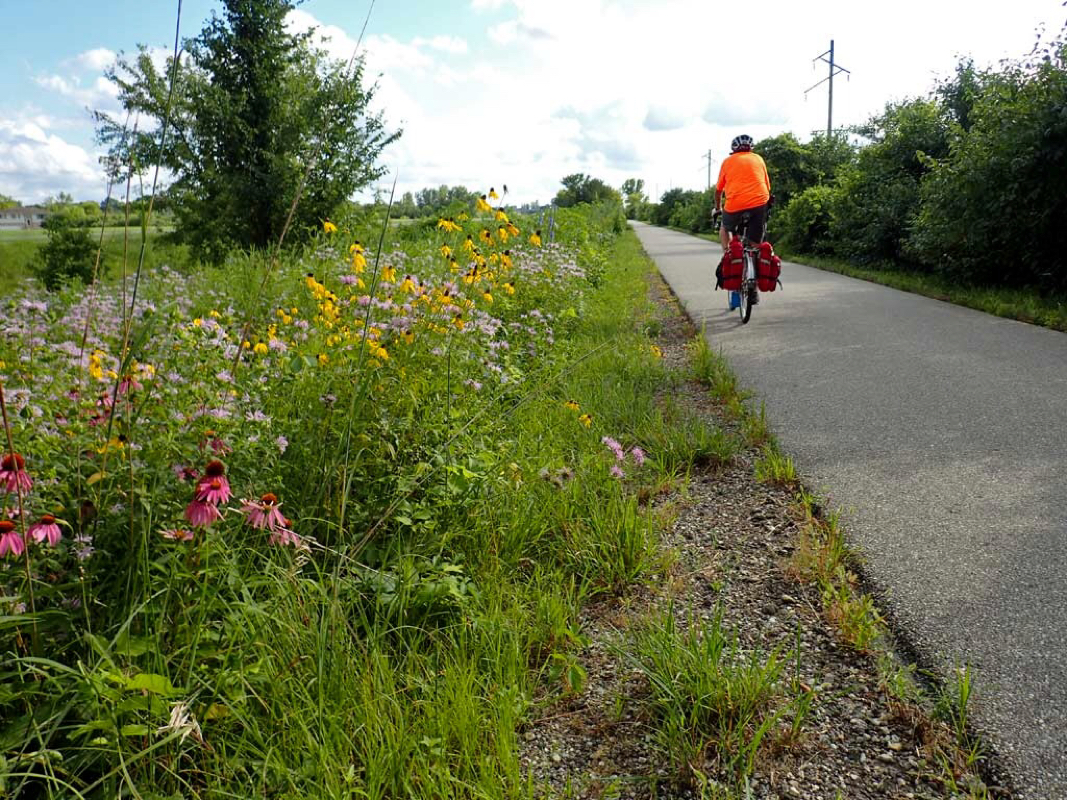 Open fields 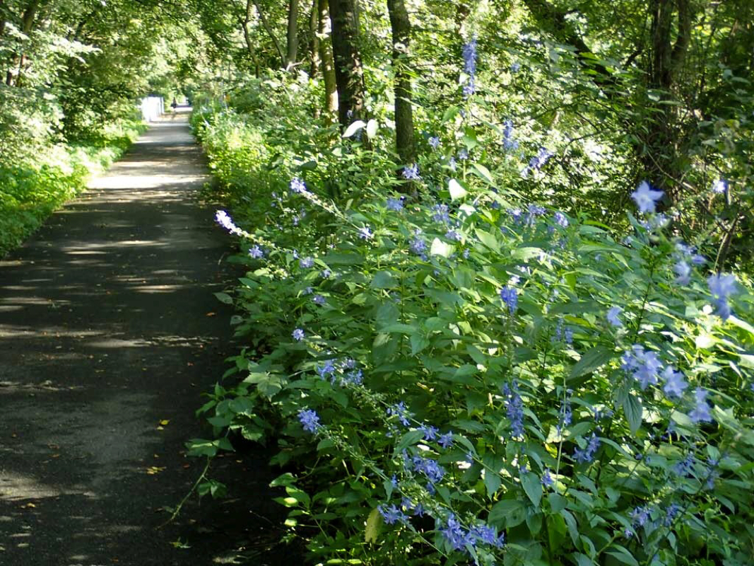 Dense riverside swamp forest. 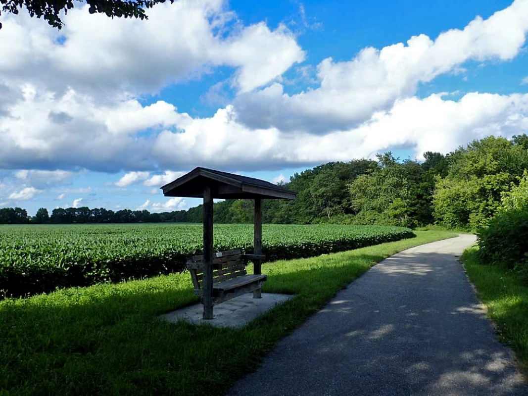 Farm land 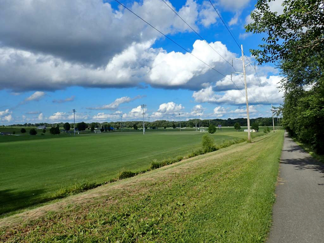 Football or soccer fields Trail: Cedar Prairie Trail, Cedar Valley Lakes Trail, Big Lake Loop Trail, South Riverside Trail and the Sergeant Road Trail in the Cedar Falls and Waterloo Iowa area. It should be noted that most of these trails were NOT rails to trails but bike paths with plenty of twists and turns and small hills. Start: Cedar Prairie Trail near Super 8 Motel. Route: Ride several bike trails in the Cedar Falls and Waterloo Iowa area. This was just a short half day ride while on my way to South Dakota. Distance 44 miles round trip. Weather: Mostly Sunny. Temp: 50-70 degrees. Low Elev 850, Hi Elev 970. Feet Ascended: 960 Trail Material: All Smooth Asphalt. Rating: Thumbs Up. Wow. One can get all around Cedar Falls - Waterloo area safely on multiple car free bike trails. I timed this trip to avoid RAGBRAI which went through this area a couple days earlier. RABGRAI is an organized week long event of 10-20 thousand bicyclers riding across Iowa. I can see the 40 year old event has influenced Iowa's perception of the value of bicycle tourism by the availability of all the bike trails in these two inter connecting towns. Highlights of this trip: Lots of wildflowers and a wide variety of scenery. Cedar River, Black Hawk Creek, and Big Woods Lake. Vibrant downtown Cedar Falls to quiet rural farmland. Dense canopy creek side trails to treeless top of levee views. I didn't want this ride to end. I joined up with a group of trike riders and got to tour a little of downtown Grand Rapids with them. Here are some photos. 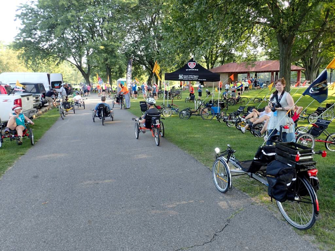 Trike rider group ride starting at Comstock Park. 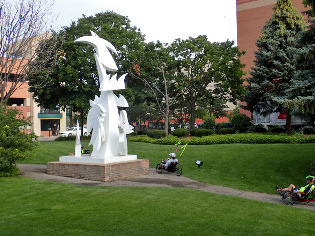 Sculpture in Grand Rapids 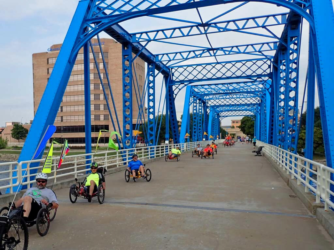 Another Pedestrian Only bridge across Grand River 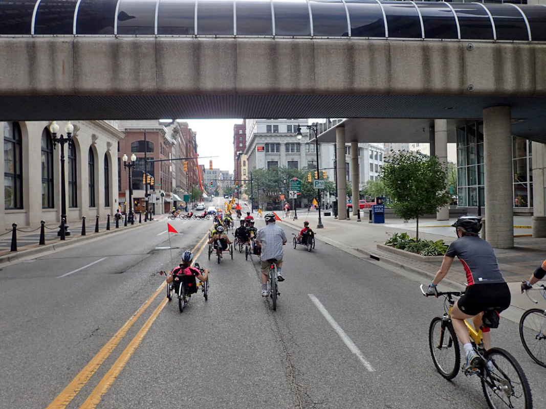 Trikes taking over the streets in downtown Grand Rapids 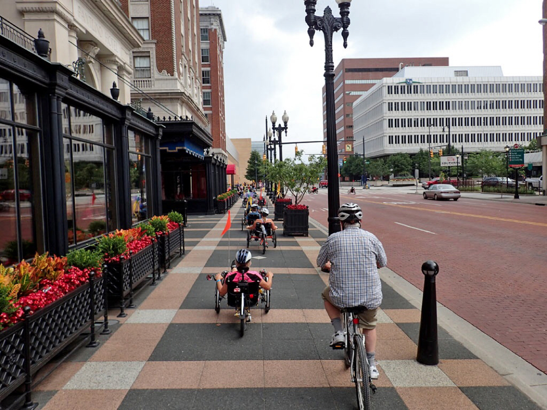 Trikes taking over the sidewalks 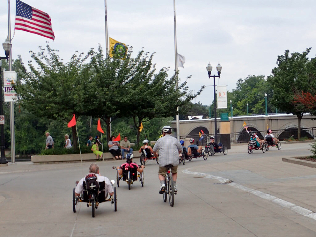 Trikes passing Old Glory 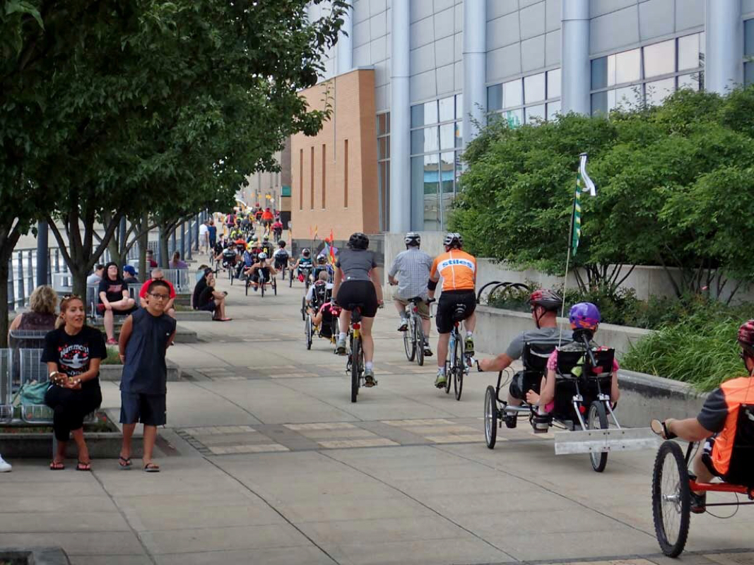 People gawking at the trike parade. Note the rear bumper on the tandem trike. 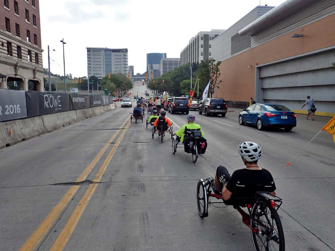 Trike riders usually have flags to increase visibility. 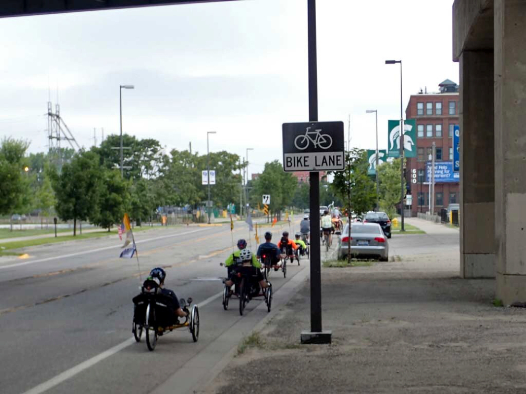 Bike lanes in Grand Rapids 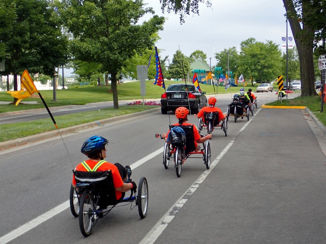 Wide Trikes take up the entire bike lane. 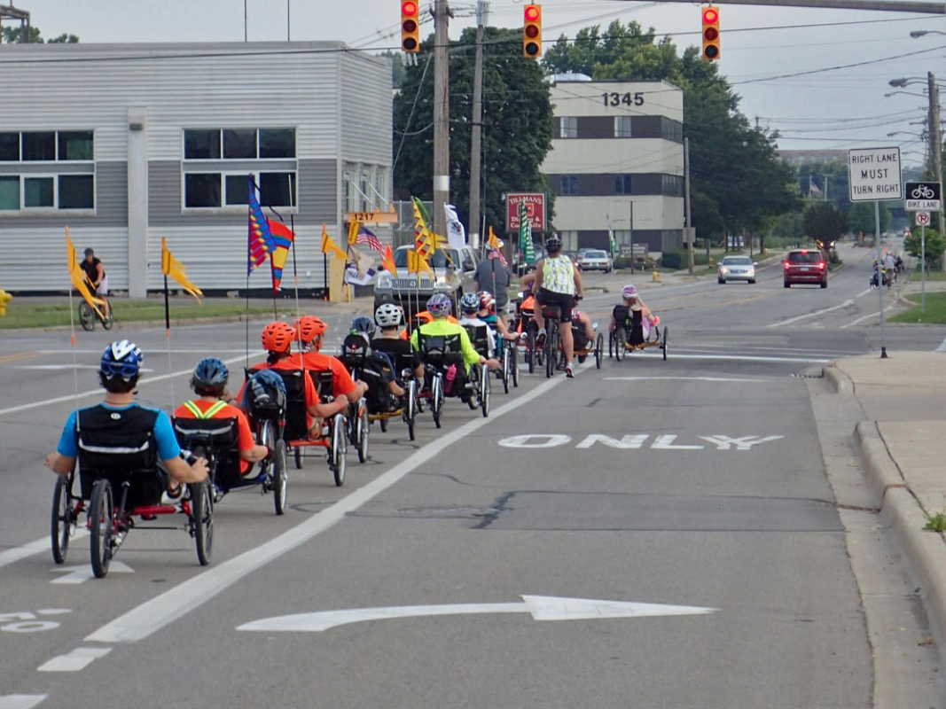 I sure enjoyed tagging along with the trike group. 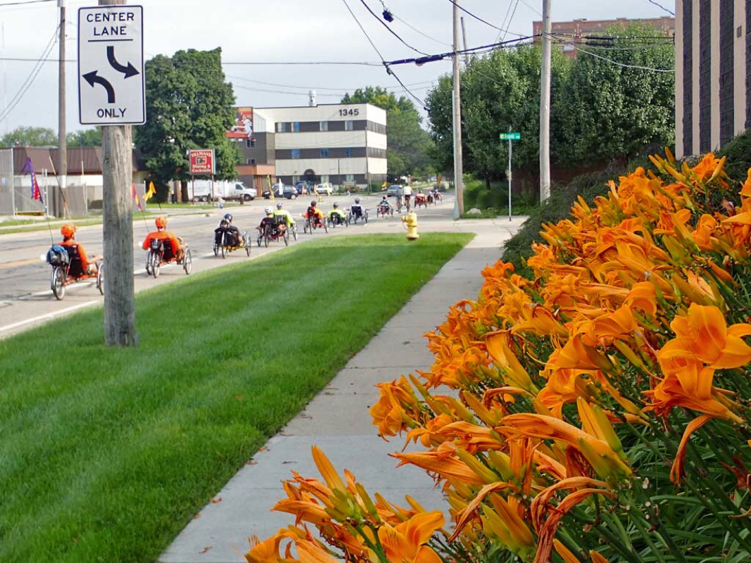 Great day for a two or three wheel bike ride. 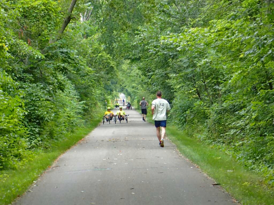 Easy trike cruising on the trail. |
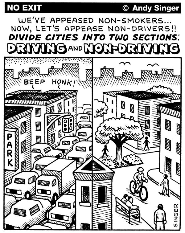
Andy Singer's Wisdom
BicycleMode of transportation 25x more efficient than a car. Law SuitsCities are liable for citizen injuries when it comes to road grates, pot holes, and substandard roads.
Click Here to read more. Categories
All
Archives
September 2015
|
 RSS Feed
