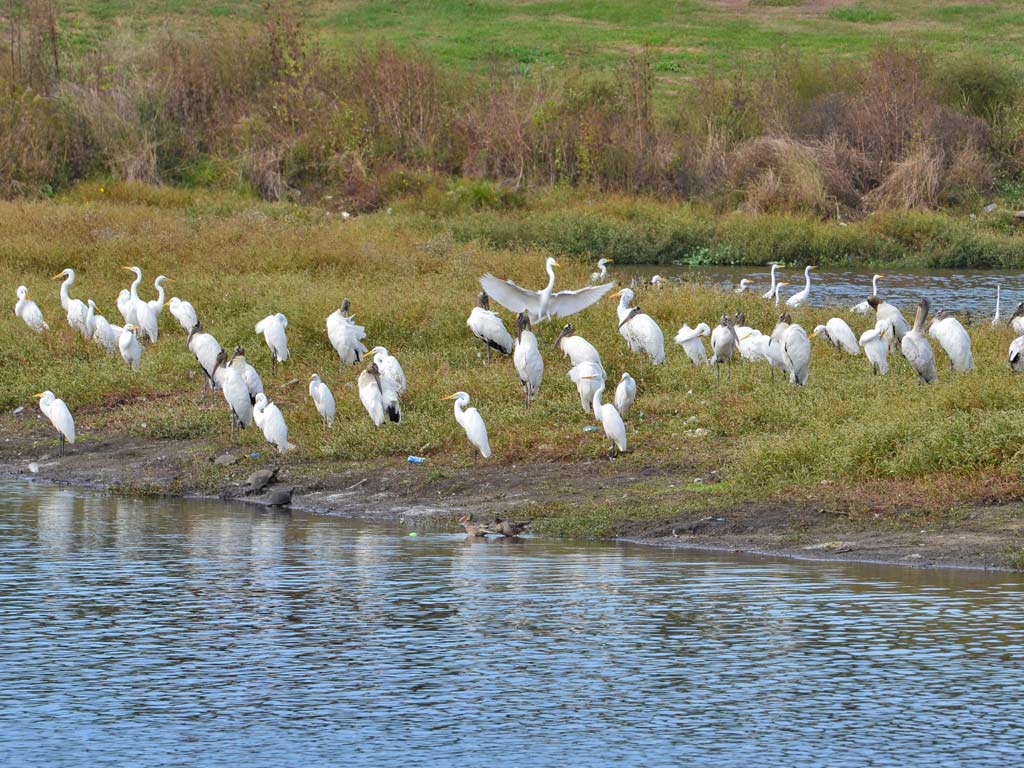
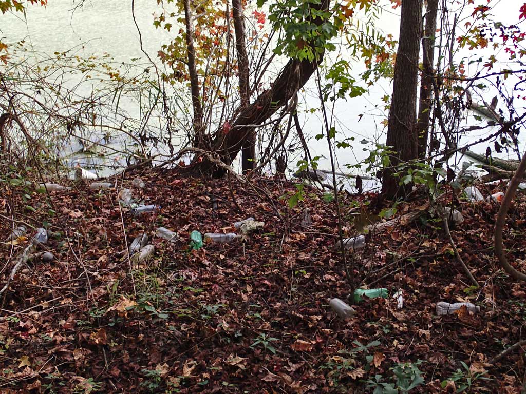
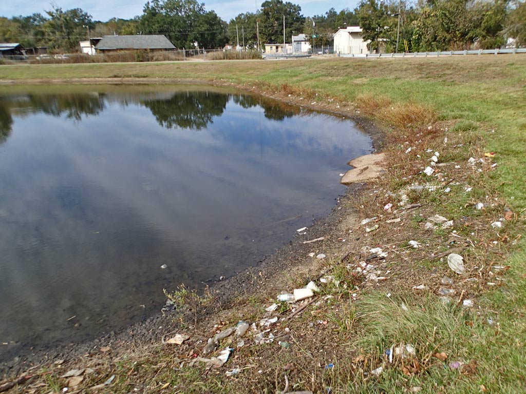
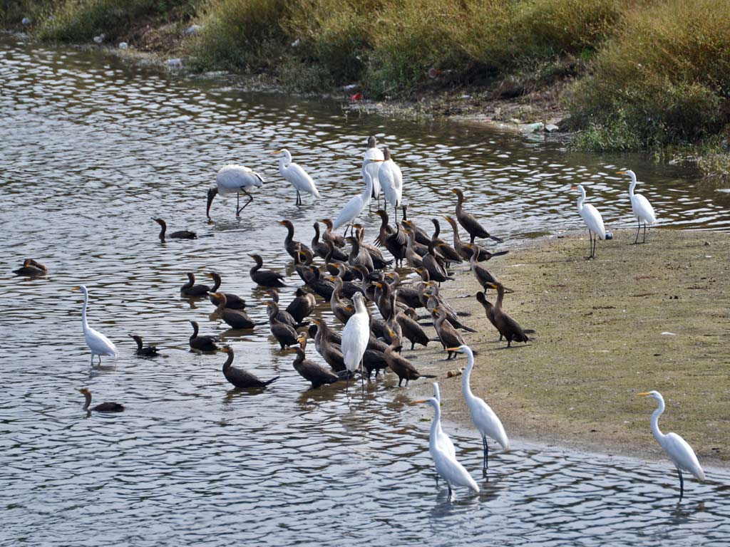
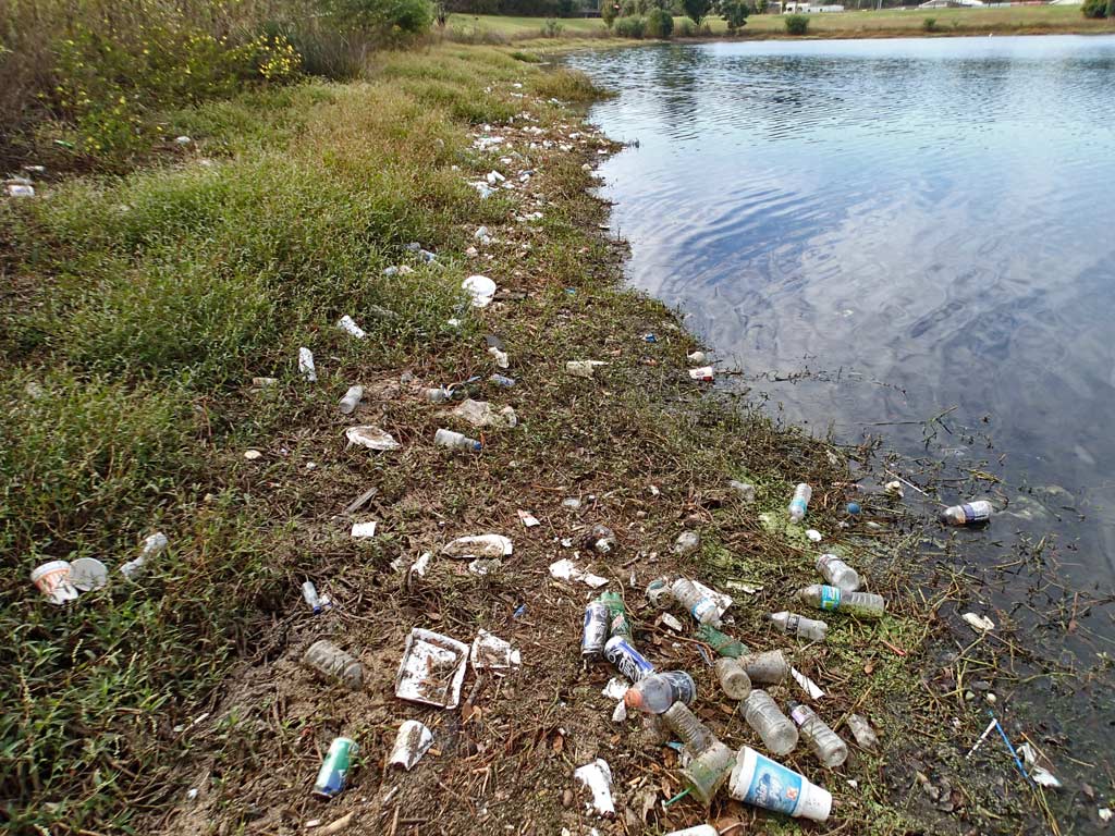
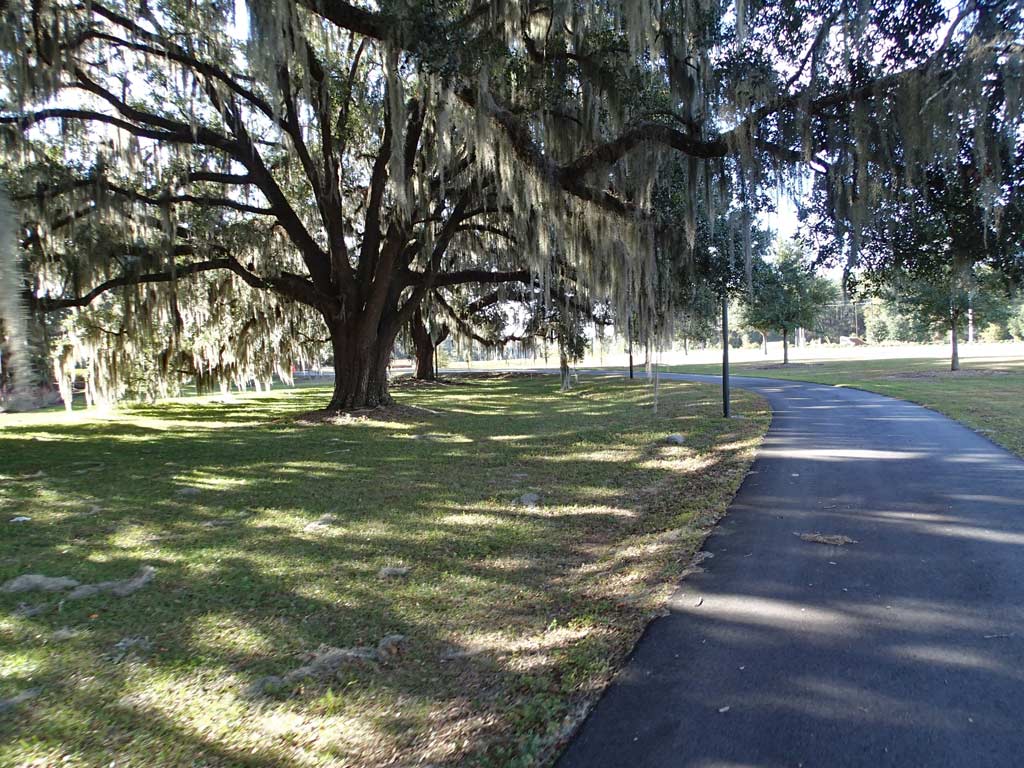
Lake Elberta hosting a wide variety of birds, ducks, herons, egrets, storks, ducks, turtles and garbage.
Tallahassee - St. Marks Historic Railroad Trail (FL)
20 miles (Asphalt/Concrete)
Rating: 6 (out of 10)
96 Road/Driveway Crossings (1-way)
183 People Encountered (Both Ways)
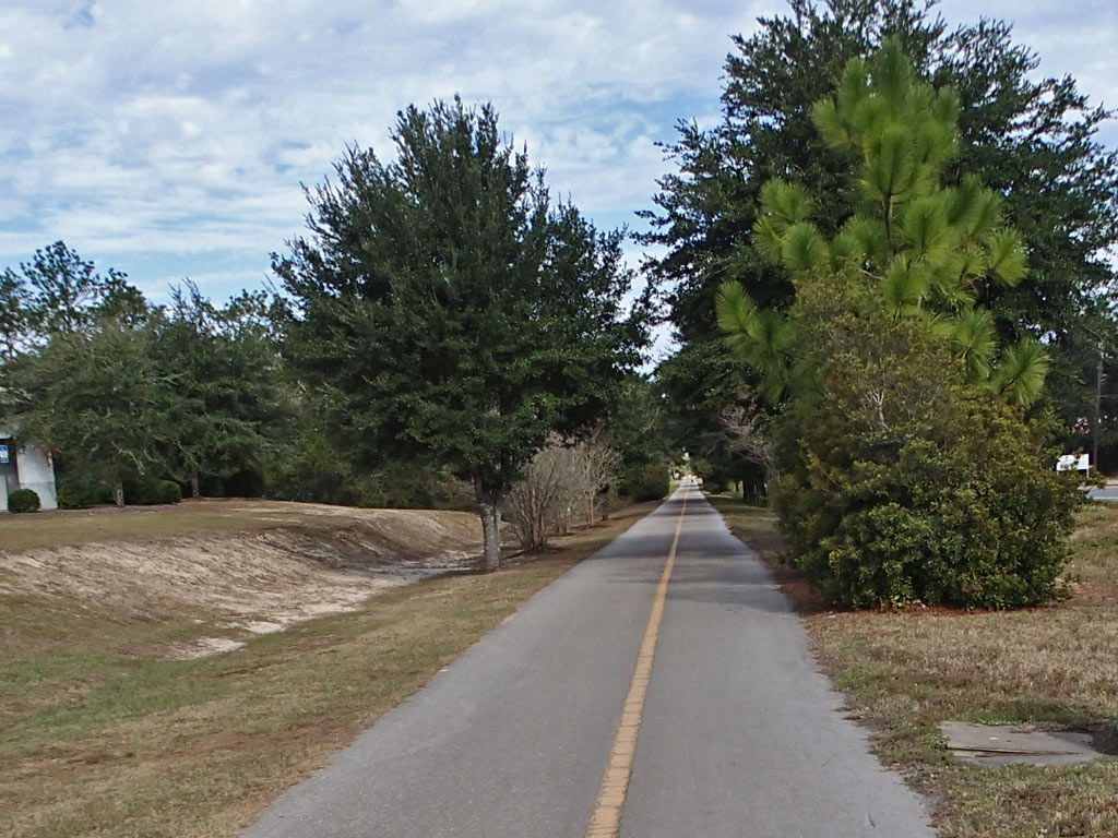
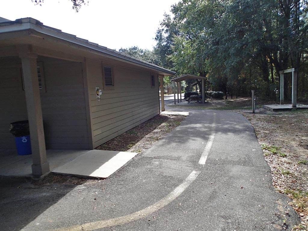
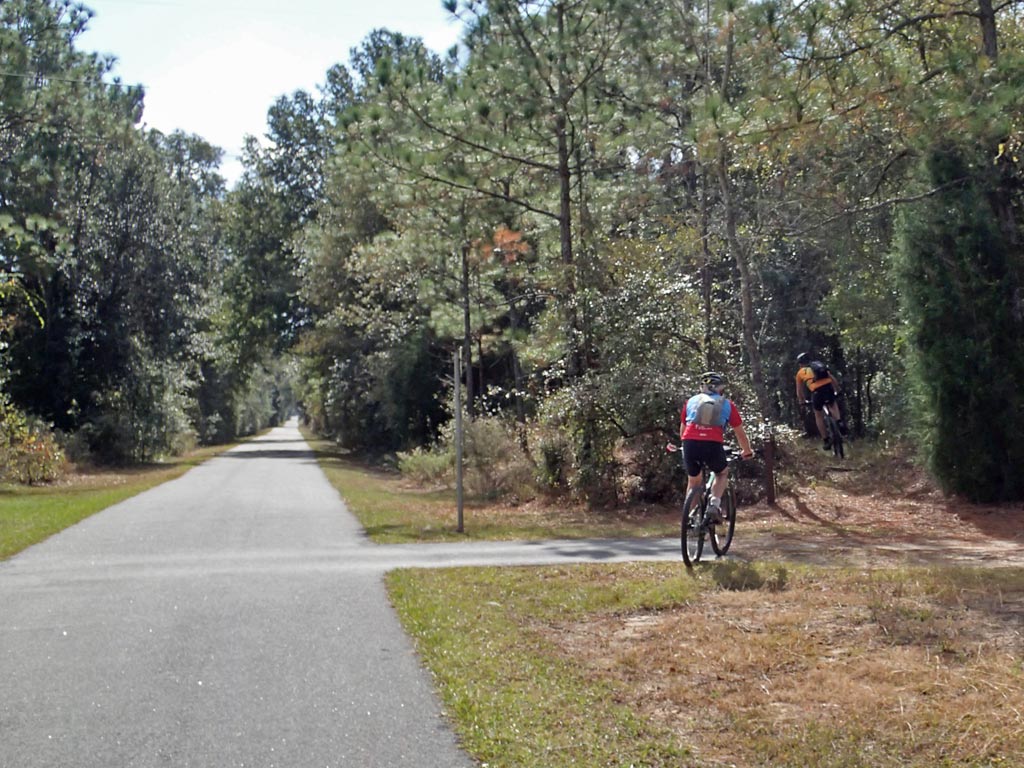
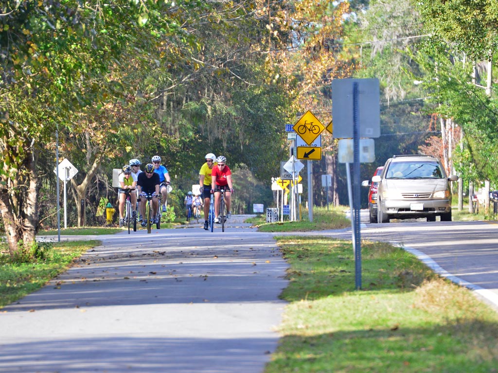
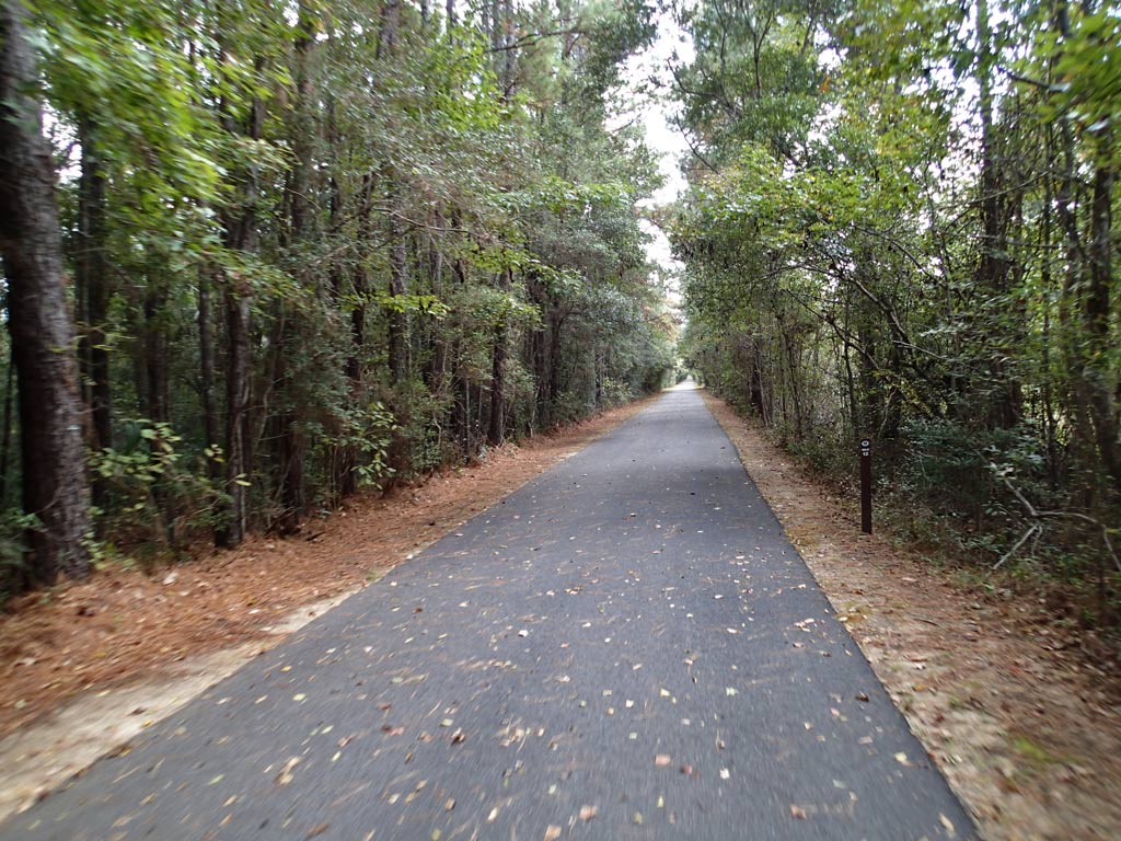
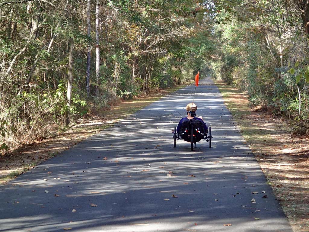
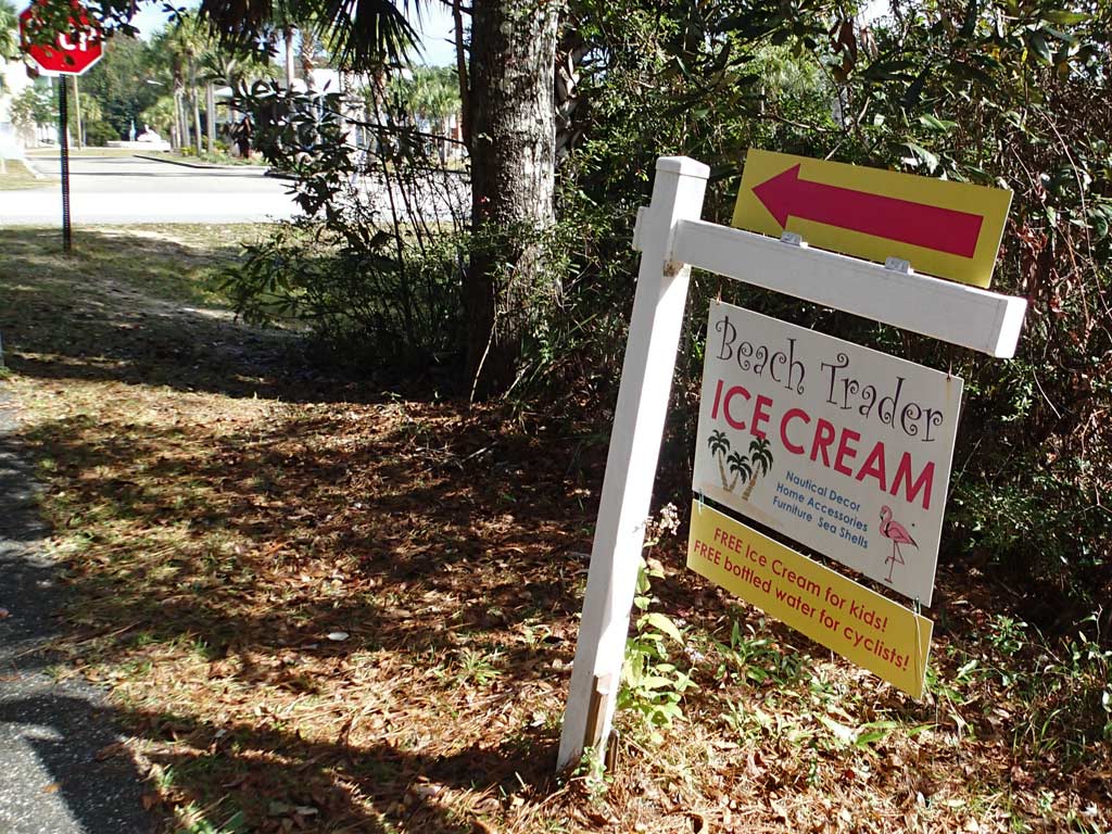
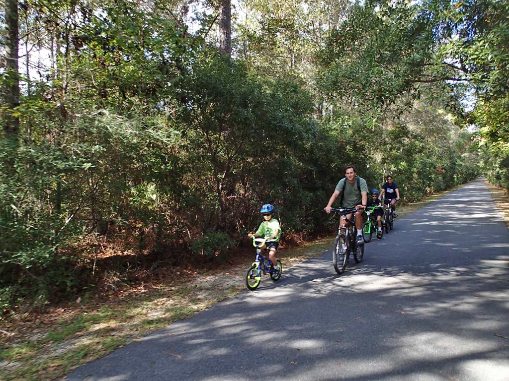
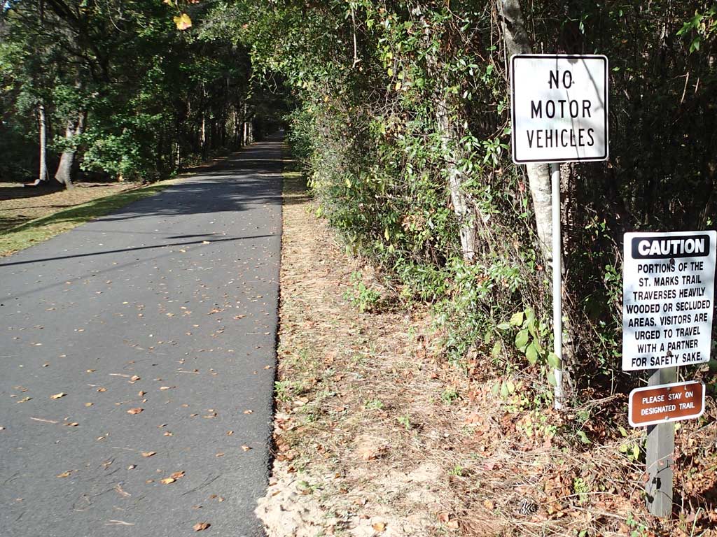
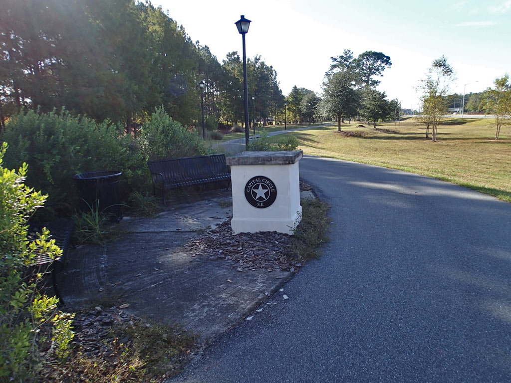
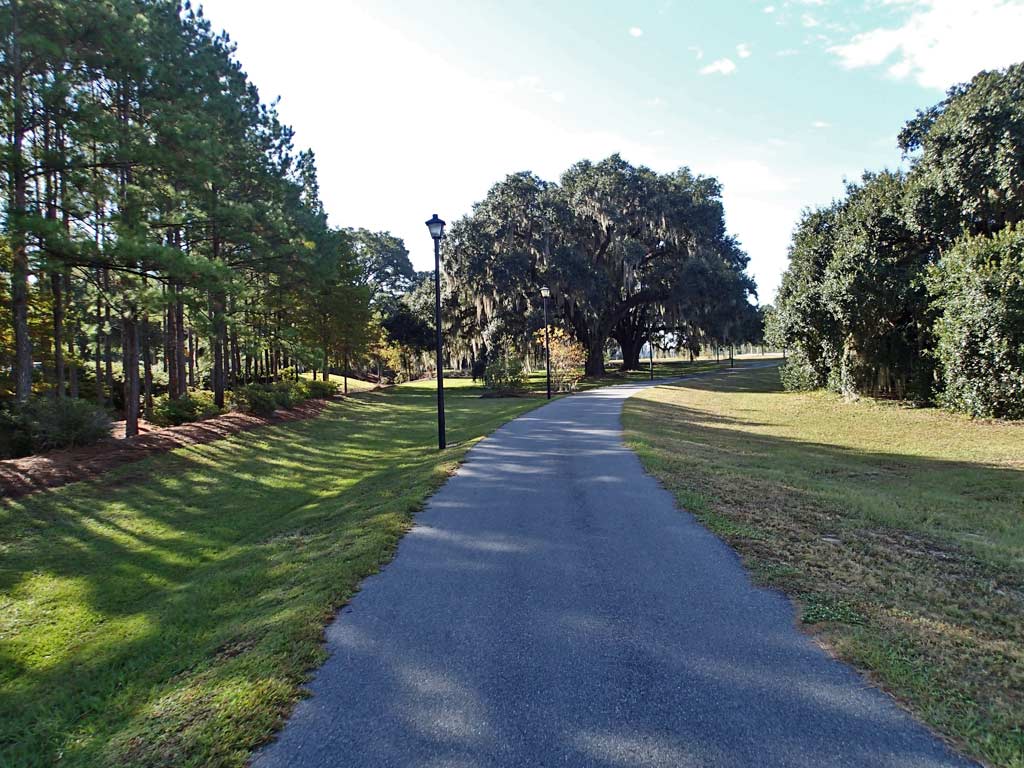
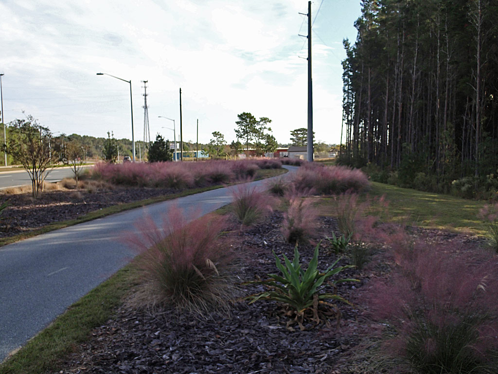
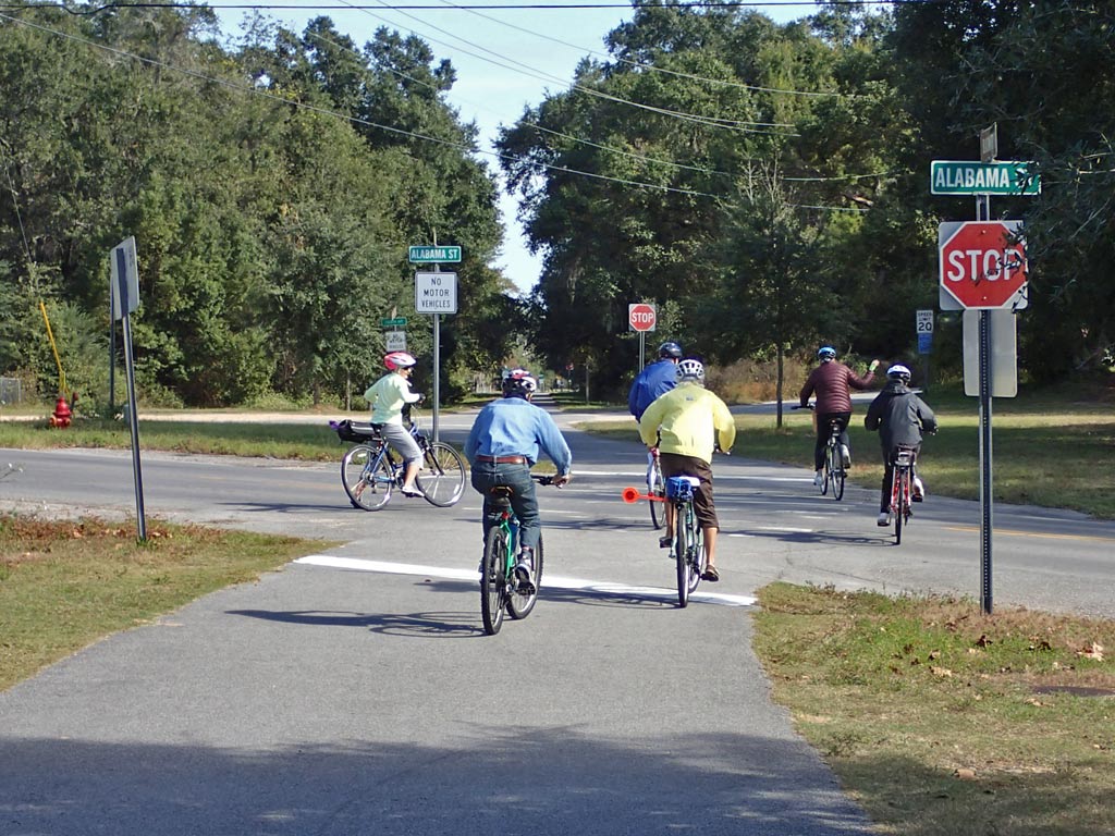
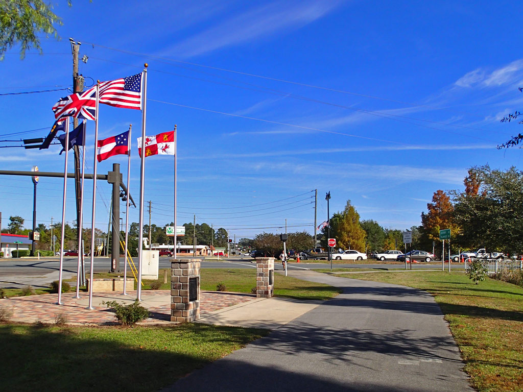
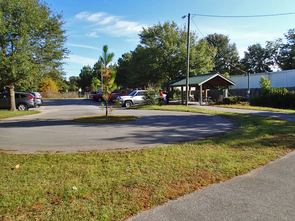
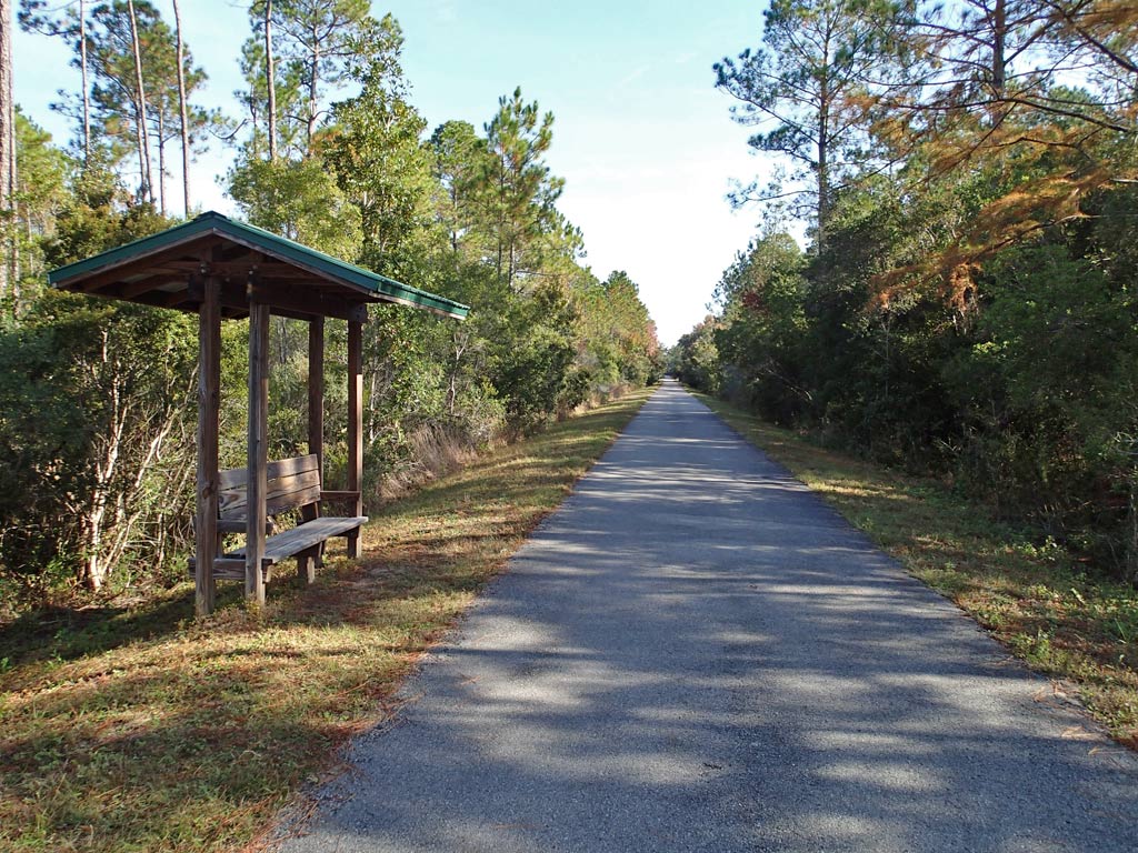
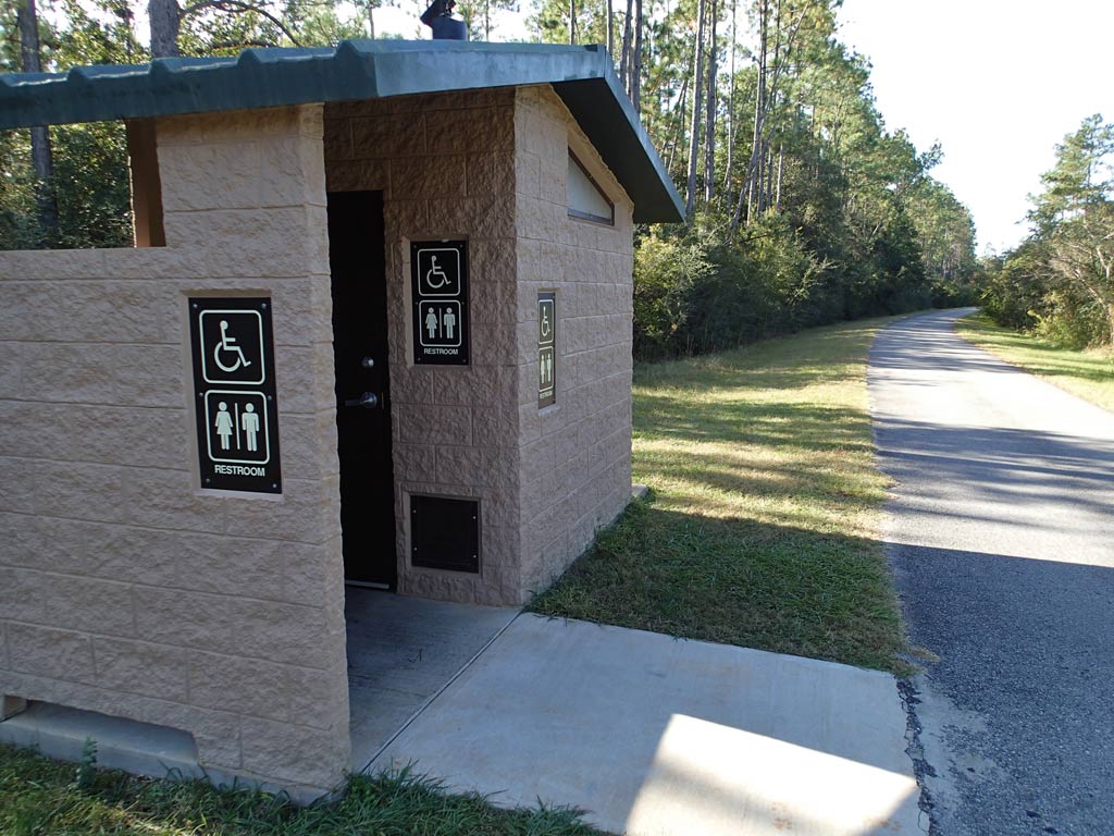
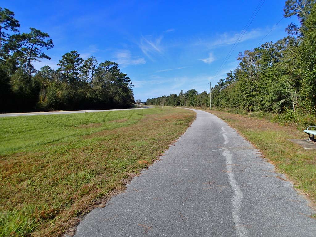
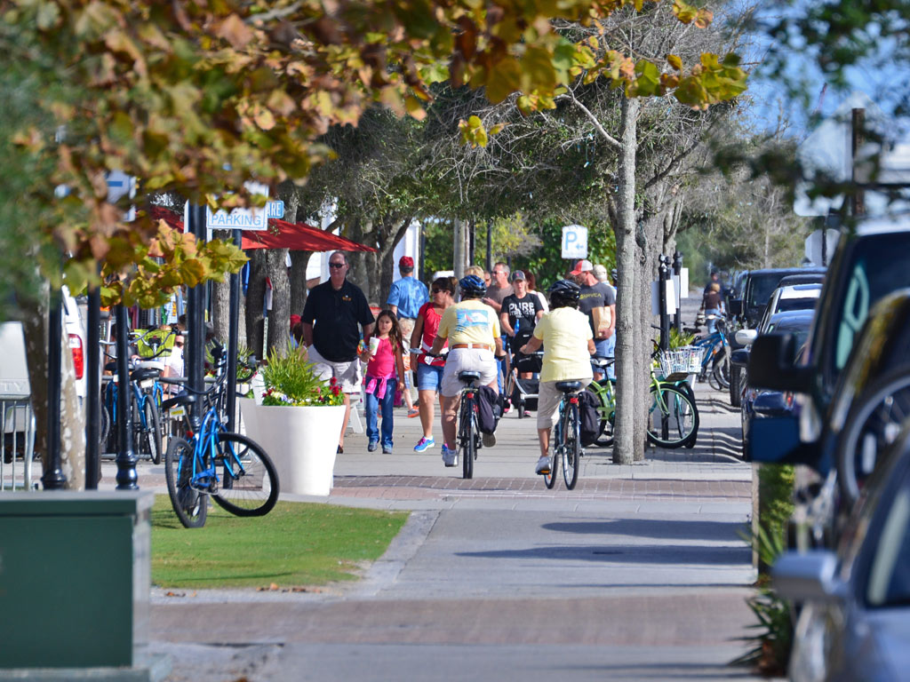
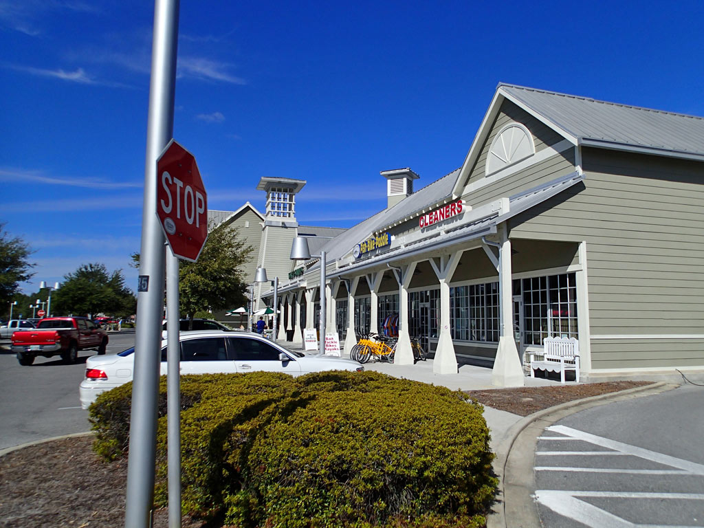
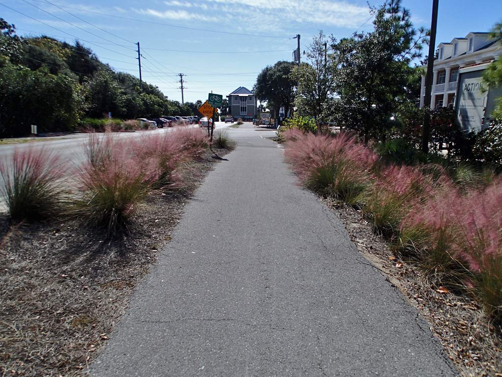
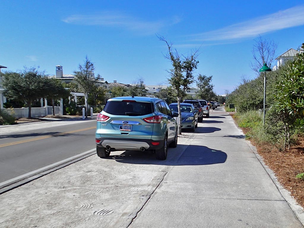
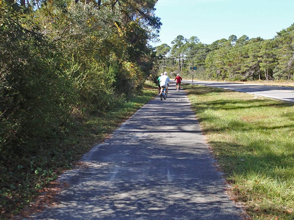
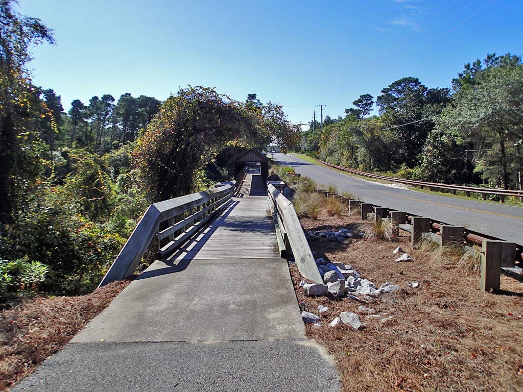
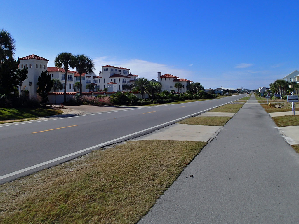
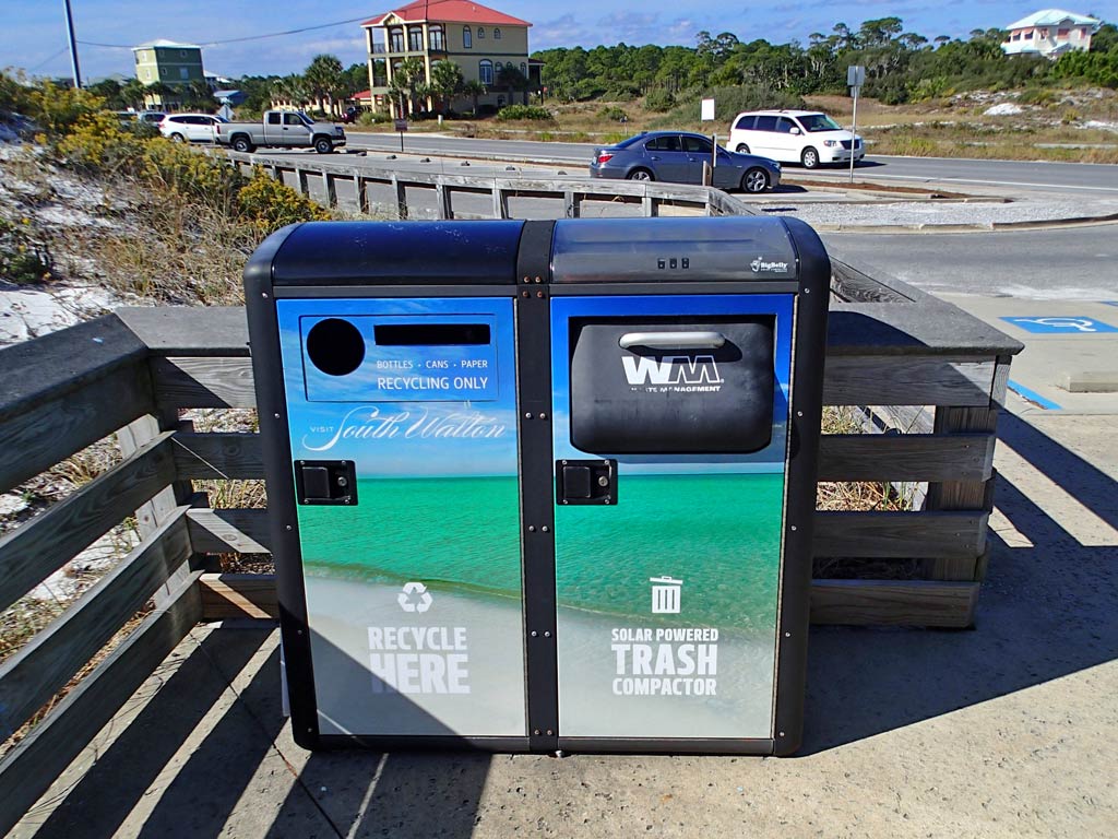
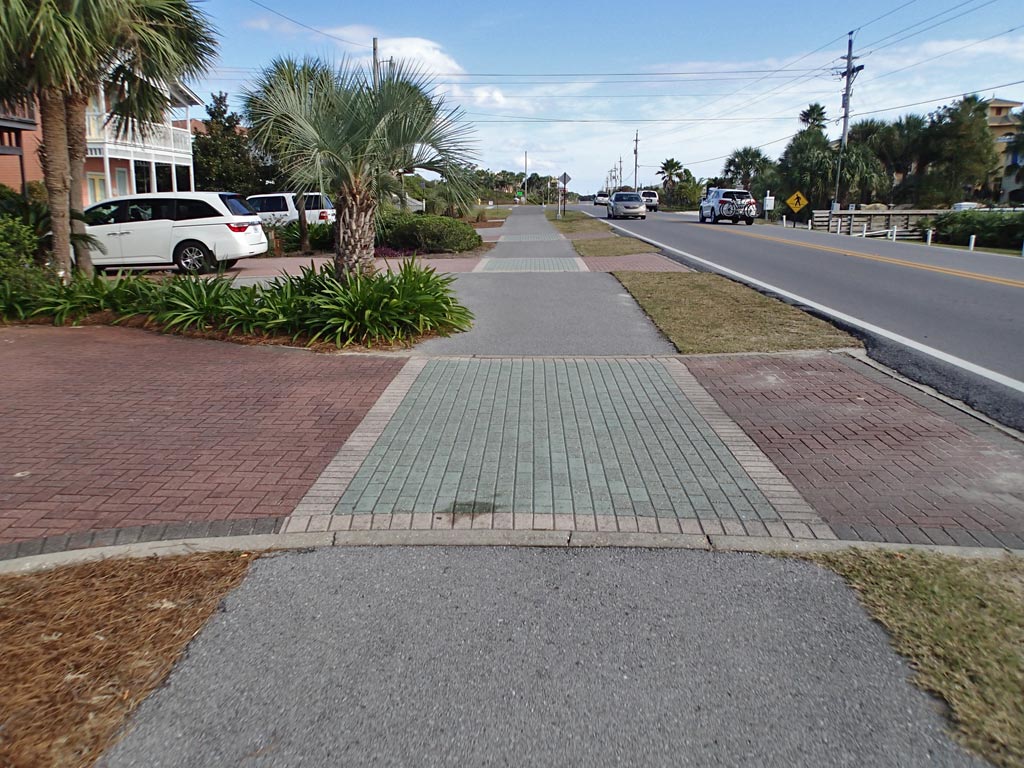
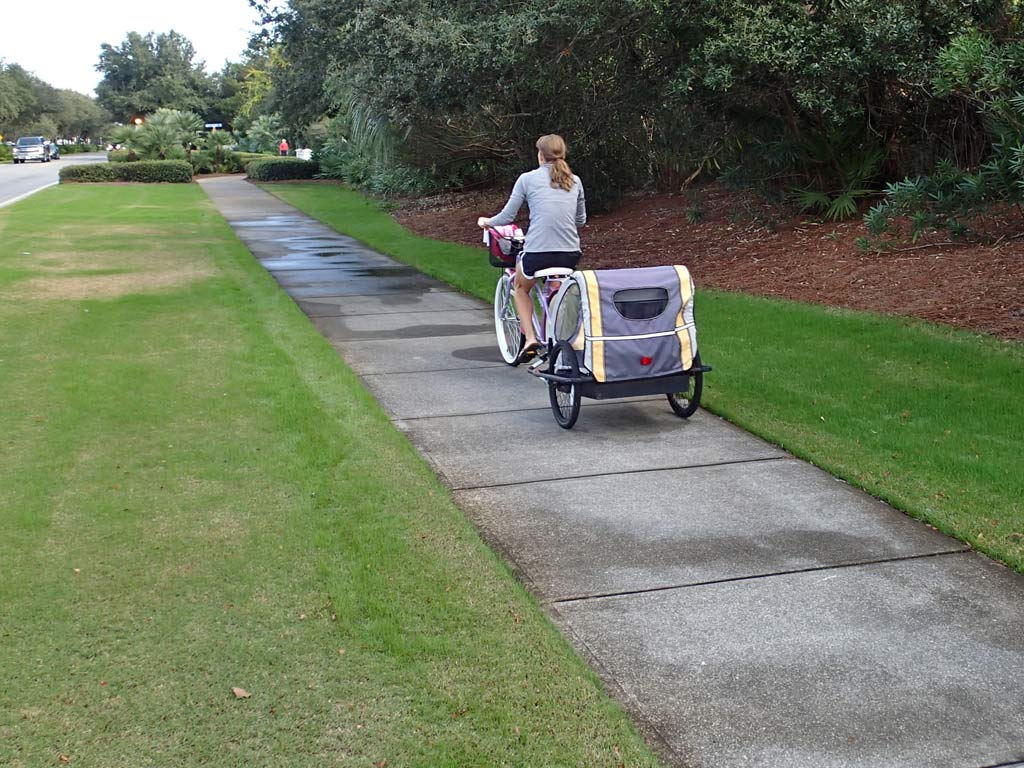
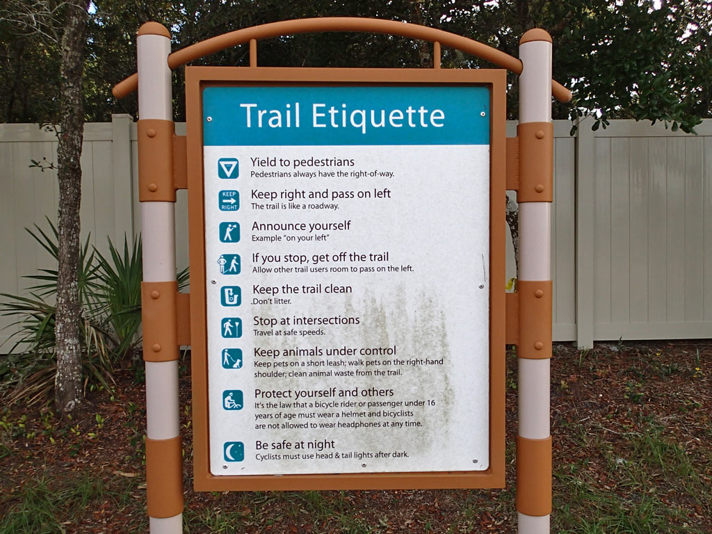
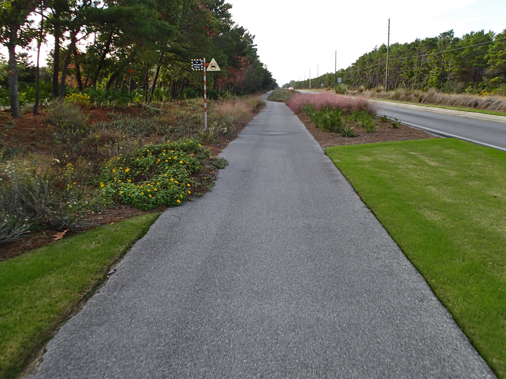
Pros: The average number of driveway/road crossings is just under 5 per mile and the average number of people encountered on the trail was also just under 5 per mile. Both are relatively low meaning more time can be spent enjoying the ride rather than watching for out for cars and dodging people. St. Marks trail north of Capital Circle is 11-12 feet wide and I saw very few people. St. Marks trail south of Capital Circle is 12-14 feet wide and was much busier than the north side. Despite following nearby roads in some areas, the trail was pretty quiet. The asphalt is mostly smooth with some of it appearing to be brand new. Can't get lost on this mostly straight trail but even so, there are maps at the trail heads. There is a bike shop on the trail. There are no car barrier posts in the middle of the trail to dodge except by Lake Elberta which is nice. There are places to get food and drink. The trail north of Capital Circle is marked with a solid yellow line which seemed to make people stay to the right in their "lane." There were an adequate number of covered bench shelters to get out of the rain and picnic tables and bathrooms along the St. Marks trail. There is even an off-road mountain bike dirt trail next to the asphalt trail (Munson Hills).
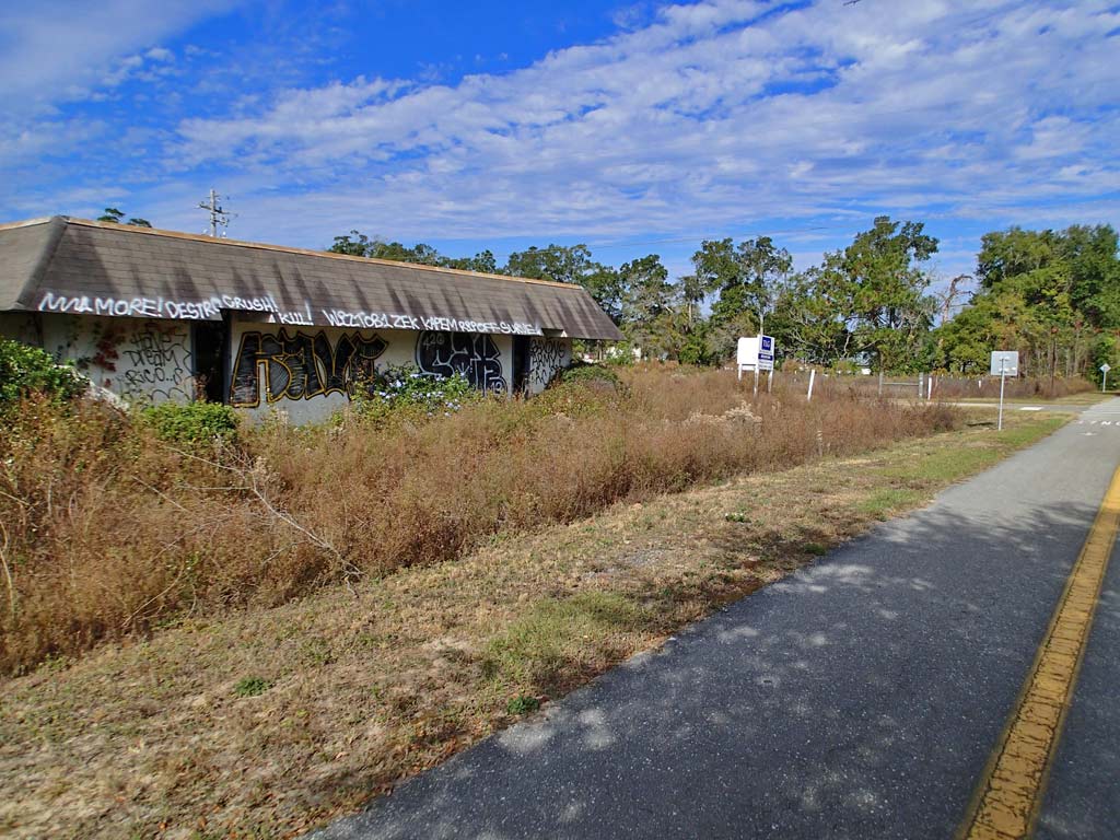
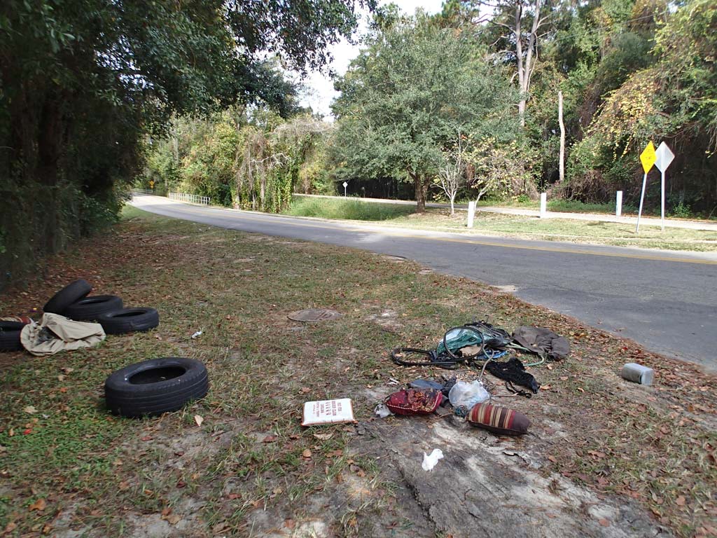
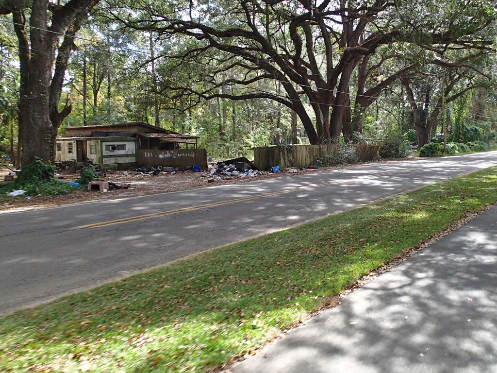
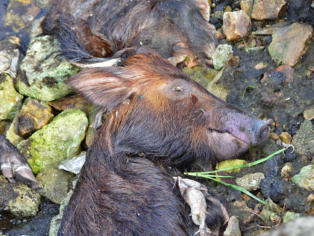
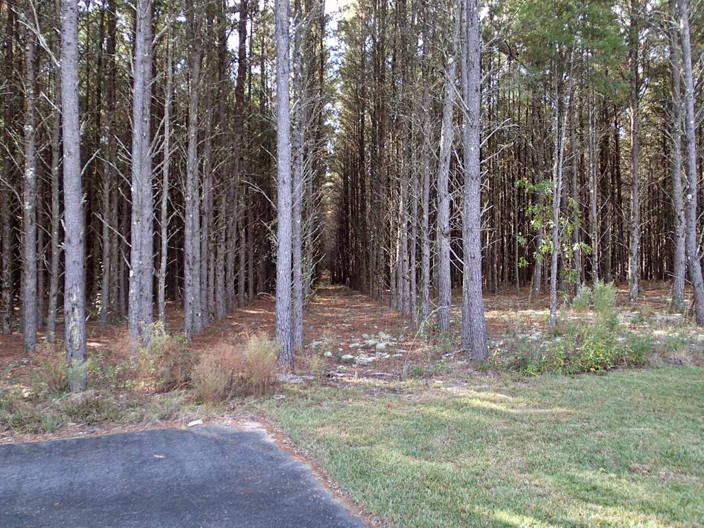
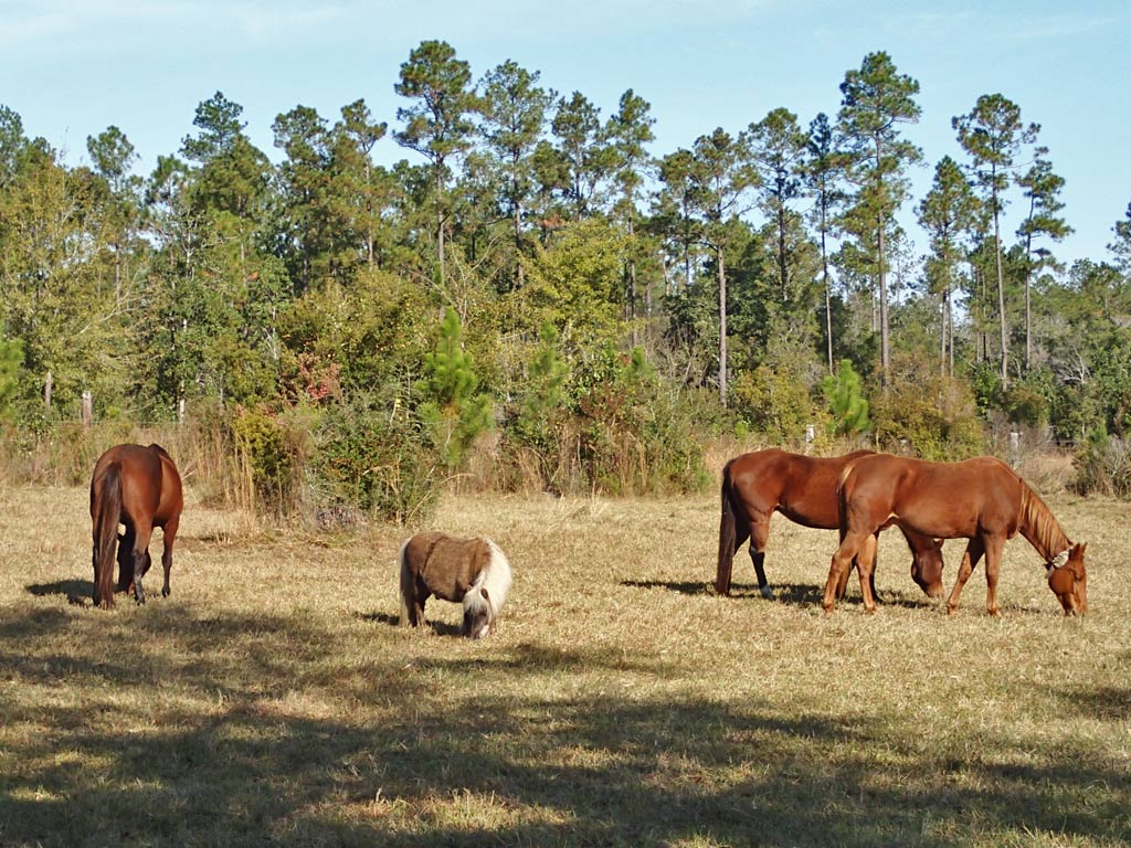
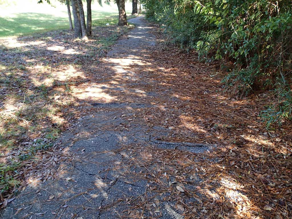
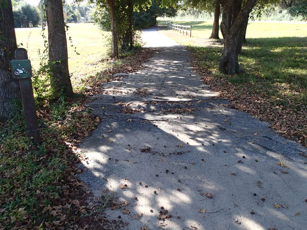
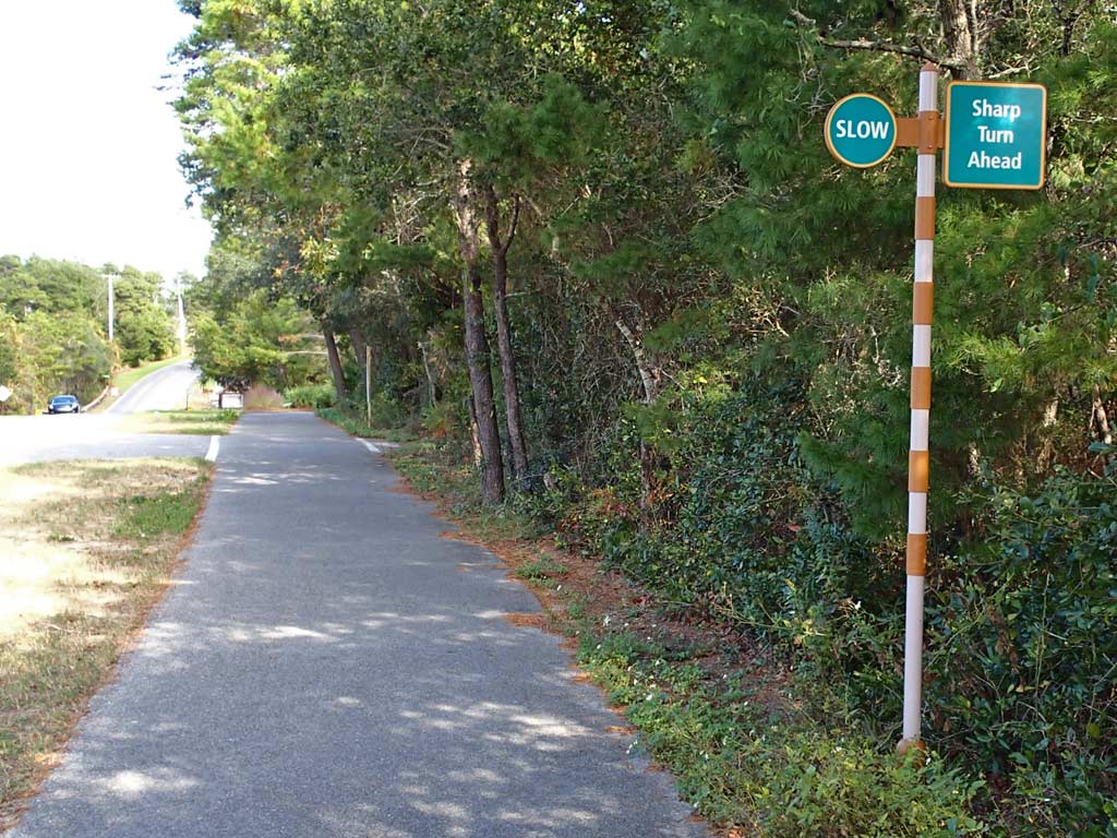
Cons: If you're not paying attention, a horse turd on the trail may make some smelly deposits on your tire tread. Not a whole lot of scenery to see because of the dense tree canopy making it feel like you're riding through a tunnel of trees for much of the trail. Along with the dense tree canopy comes a few vines that hang down over the trail low enough to cause people to weave. No asphalt trail markings to the South of Capital Circle but the asphalt looked brand new so maybe it hadn't been painted yet. North of Capital Circle there was a noticeable amount of litter visible along the trail. Also, seeing houses with bars on all the windows, not to mention graffiti saying "Kill" on buildings left me feeling not particularly safe, especially when there was almost no one using the north end of the trail. The amount of litter lining Lake Elberta Park as well as some other ponds and ditches at the north end of the St. Marks trail was sickening. Near the south end of the St. Marks trail at San Marcos de Apalache Park there was a pile of dead fish in the ditch on one side of the picnic table and a dead pig in the ditch on the other side of the picnic table.
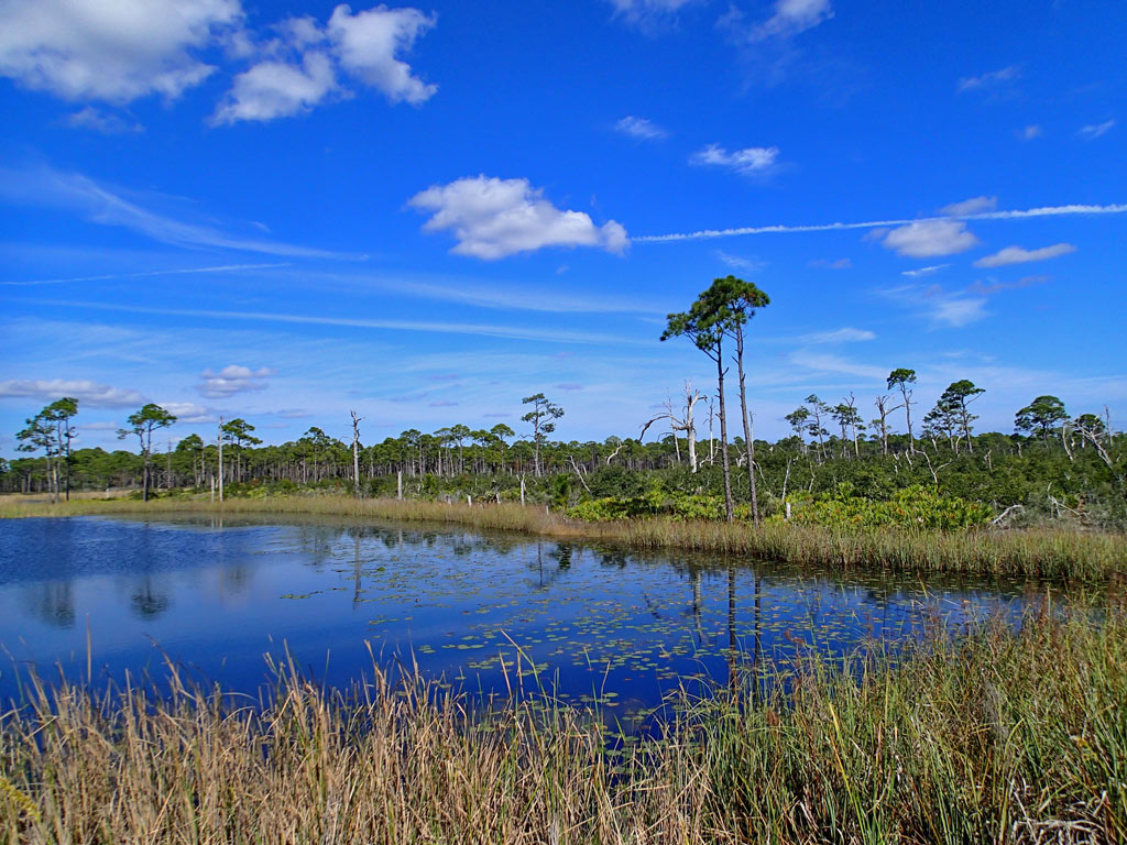
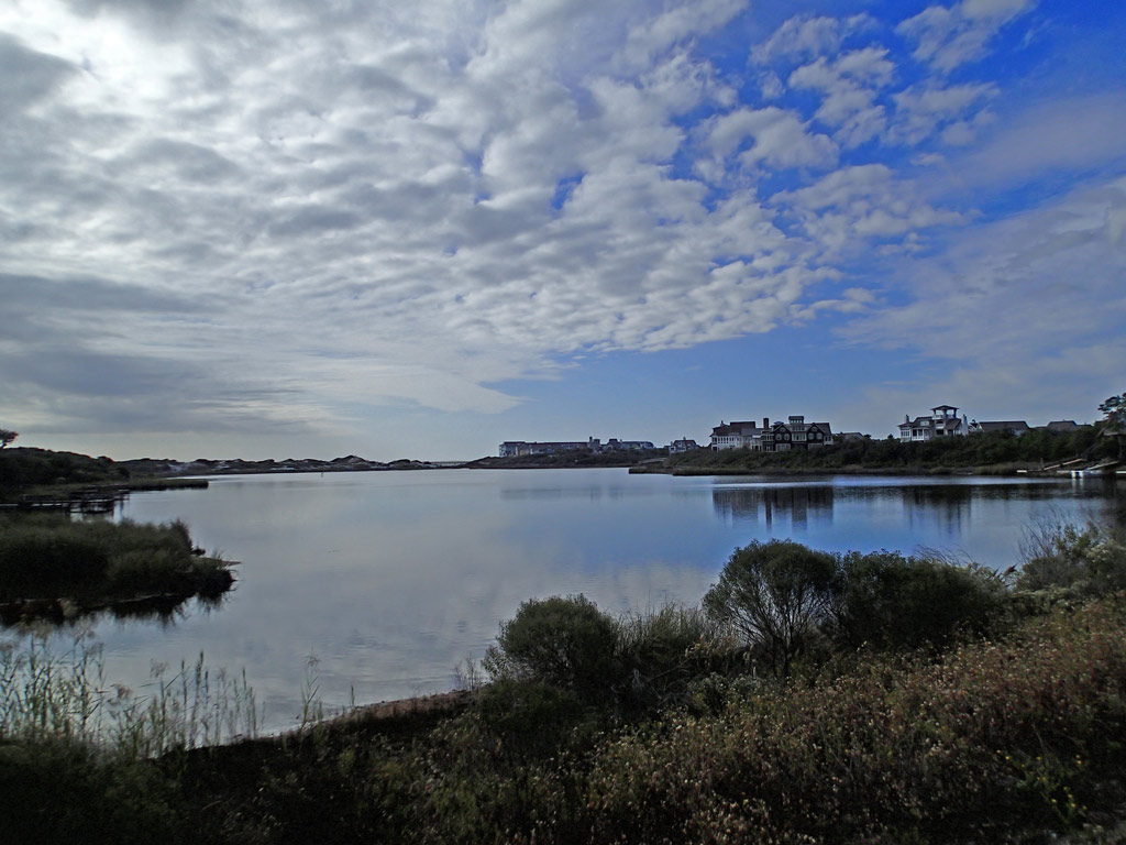
Viewpoint: In a nutshell, even though it is a smooth ride, no, I would not plan on riding the Tallahassee-St. Marks trail again, especially the north part of the trail where I saw shady people walking the trail at 9:00 in the morning drinking beer. Didn't feel very safe on the trashy north side hence the low rating. Even though the length of a round trip on the trail is a nice 40 miles, if in Tallahassee again, I'd rather ride the rest of the Munson Hill Off-Road Bicycle Trails or ride in the nearby St. Marks Wildlife Refuge which offers some fantastic wildlife viewing opportunities. For those living around Tallahassee, the St. Marks Trail along with the rest of the bike lanes and trails in Tallahassee allow bicyclists the freedom to navigate through much of the city safely. If I lived Tallahassee I'd certainly use the south side of the trail frequently, but for scenery, it is rather a boring ride except by St. Marks River.
The downloadable GPS track of the Tallahassee - St. Marks Historic Railroad Trail can be found here:
http://www.everytrail.com/view_trip.php?trip_id=2453097
Click on any thumbnail below to bring up a larger view photo gallery with commentary.
20 miles (Asphalt/Concrete)
Rating: 6 (out of 10)
96 Road/Driveway Crossings (1-way)
183 People Encountered (Both Ways)
Pros: The average number of driveway/road crossings is just under 5 per mile and the average number of people encountered on the trail was also just under 5 per mile. Both are relatively low meaning more time can be spent enjoying the ride rather than watching for out for cars and dodging people. St. Marks trail north of Capital Circle is 11-12 feet wide and I saw very few people. St. Marks trail south of Capital Circle is 12-14 feet wide and was much busier than the north side. Despite following nearby roads in some areas, the trail was pretty quiet. The asphalt is mostly smooth with some of it appearing to be brand new. Can't get lost on this mostly straight trail but even so, there are maps at the trail heads. There is a bike shop on the trail. There are no car barrier posts in the middle of the trail to dodge except by Lake Elberta which is nice. There are places to get food and drink. The trail north of Capital Circle is marked with a solid yellow line which seemed to make people stay to the right in their "lane." There were an adequate number of covered bench shelters to get out of the rain and picnic tables and bathrooms along the St. Marks trail. There is even an off-road mountain bike dirt trail next to the asphalt trail (Munson Hills).
Cons: If you're not paying attention, a horse turd on the trail may make some smelly deposits on your tire tread. Not a whole lot of scenery to see because of the dense tree canopy making it feel like you're riding through a tunnel of trees for much of the trail. Along with the dense tree canopy comes a few vines that hang down over the trail low enough to cause people to weave. No asphalt trail markings to the South of Capital Circle but the asphalt looked brand new so maybe it hadn't been painted yet. North of Capital Circle there was a noticeable amount of litter visible along the trail. Also, seeing houses with bars on all the windows, not to mention graffiti saying "Kill" on buildings left me feeling not particularly safe, especially when there was almost no one using the north end of the trail. The amount of litter lining Lake Elberta Park as well as some other ponds and ditches at the north end of the St. Marks trail was sickening. Near the south end of the St. Marks trail at San Marcos de Apalache Park there was a pile of dead fish in the ditch on one side of the picnic table and a dead pig in the ditch on the other side of the picnic table.
Viewpoint: In a nutshell, even though it is a smooth ride, no, I would not plan on riding the Tallahassee-St. Marks trail again, especially the north part of the trail where I saw shady people walking the trail at 9:00 in the morning drinking beer. Didn't feel very safe on the trashy north side hence the low rating. Even though the length of a round trip on the trail is a nice 40 miles, if in Tallahassee again, I'd rather ride the rest of the Munson Hill Off-Road Bicycle Trails or ride in the nearby St. Marks Wildlife Refuge which offers some fantastic wildlife viewing opportunities. For those living around Tallahassee, the St. Marks Trail along with the rest of the bike lanes and trails in Tallahassee allow bicyclists the freedom to navigate through much of the city safely. If I lived Tallahassee I'd certainly use the south side of the trail frequently, but for scenery, it is rather a boring ride except by St. Marks River.
The downloadable GPS track of the Tallahassee - St. Marks Historic Railroad Trail can be found here:
http://www.everytrail.com/view_trip.php?trip_id=2453097
Click on any thumbnail below to bring up a larger view photo gallery with commentary.


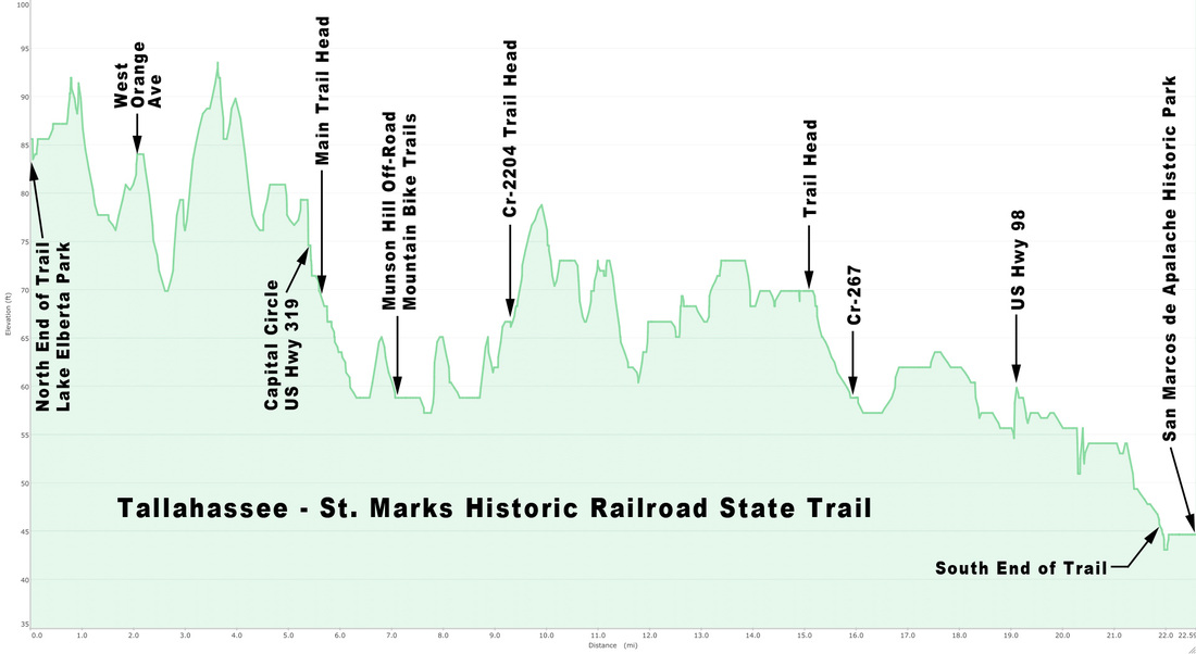
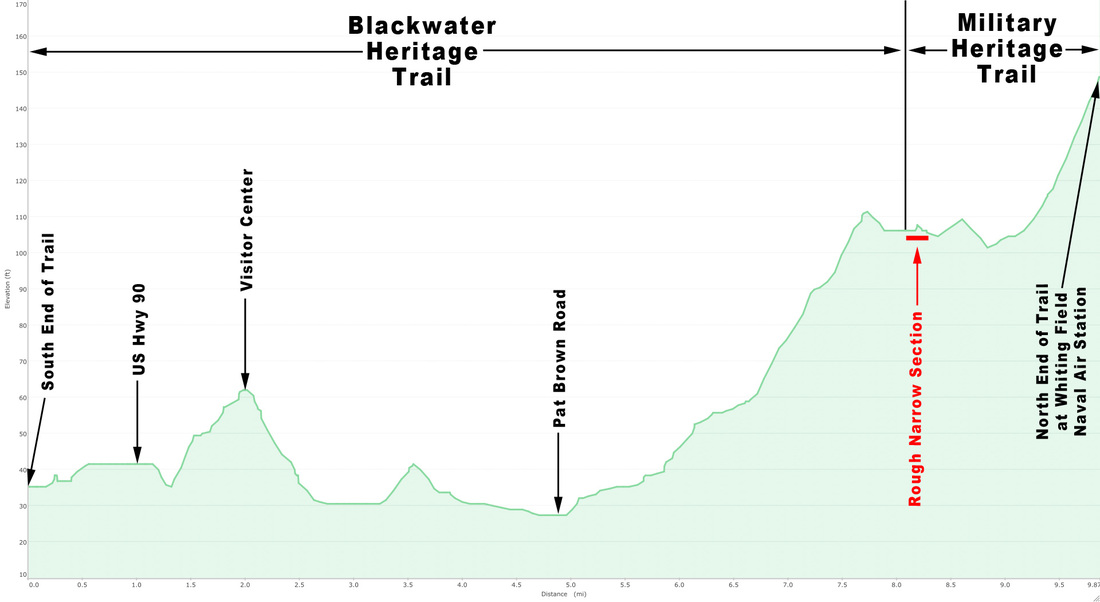
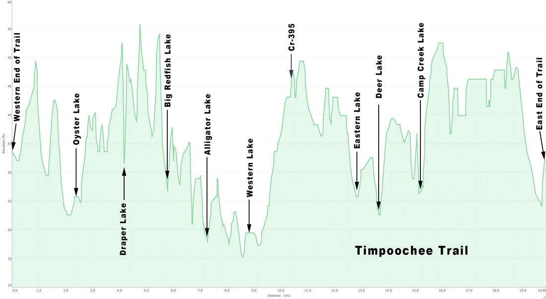
Very flat profile of the Tallahassee - St. Marks Historic Railroad State Trail which varies only 50 feet in elevation over 20 miles.


 RSS Feed
