Dauphin Island Bike Trails
Bienville Avenue Trail and Lemoyne Drive Trail
7.5 miles long and 0.8 miles long
(50% Asphalt Bike Lane, 50% Asphalt Bike Trail)
Rating: 9 (out of 10)
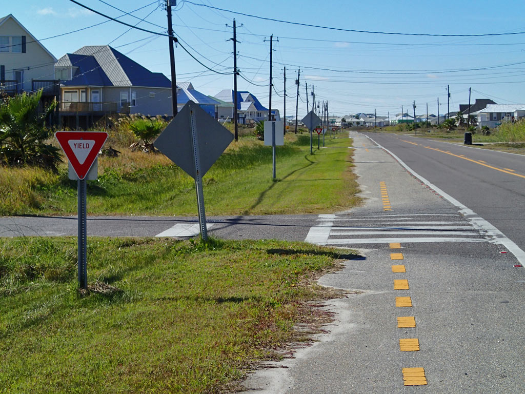
166 Driveway/Road crossings (1-Way). That averages 22 crossings per mile which is the highest I've seen.
9 People encountered (Both Ways). That averages out to about 1 person every 2 miles which is very low meaning you get to experience bike trails on a resort island with minimal pedestrian traffic to deal with.
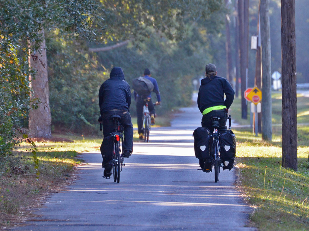
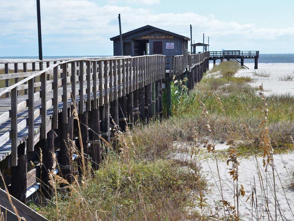
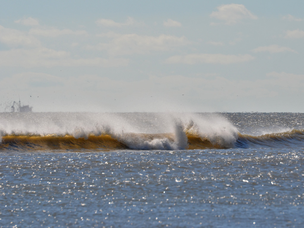
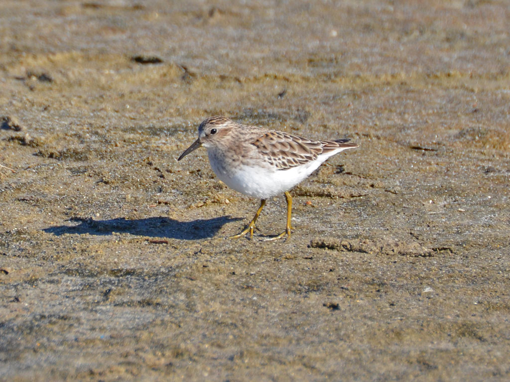
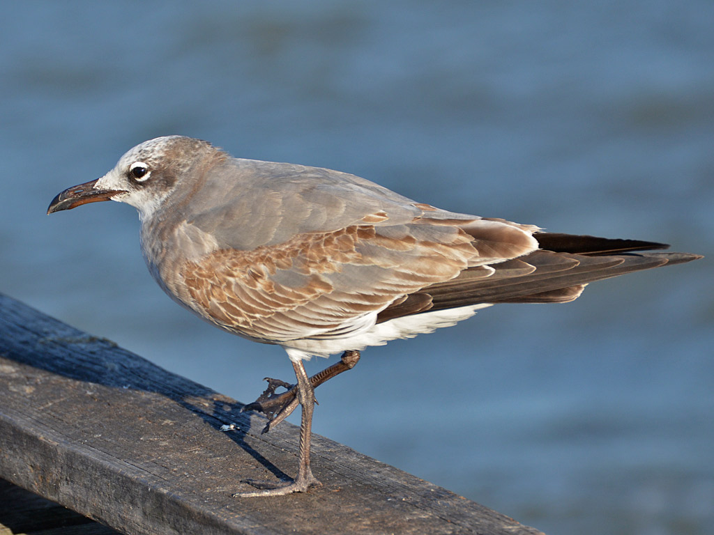
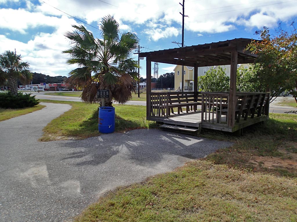
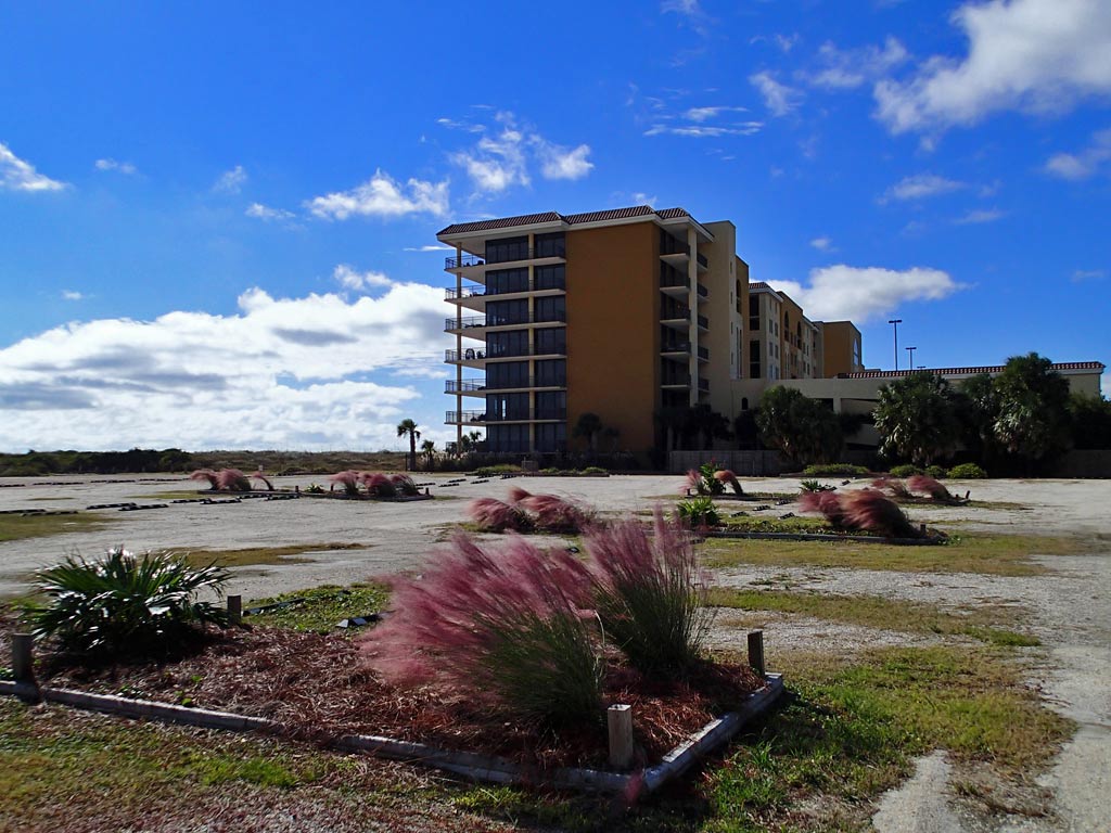
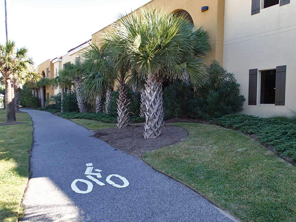
Pros: A 15 mile round trip is a good length for recreational bicyclists. There is a campground along the trail. There were no car barrier posts in the middle of the bike trail. The trail was well marked by both signs and pavement paint. No six inch curbs to cross. There were places to get food and drink along the trail. The trail grade is very flat. No hairpin turns. I didn't see any litter in the ditches. Lodging is available not far from the trail. Not much traffic on the island so it was a quiet ride. There were several parks for car parking. Traffic on the trail was light. I saw lots of benches, picnic tables, and a few shelters along the trail. There is a lot of good scenery and bird watching opportunities. I felt very safe. Garbage cans were abundant along the trail. A bike trail along Lemoyne Drive tee's into the Bienville Avenue Bike Trail. Between that and nice road shoulder, those wanting to bicycle more miles can ride all the way to Bayou La Batre on nice paved shoulder. Bicycling north on Lemoyne Drive from Bienville Blvd about 2.5 miles will get you to the top of a large 90 foot tall bridge giving a nice view of the island. The Adventure Cycling Association's Southern Tier Cross Country bicycle route passes through Dauphin Island.
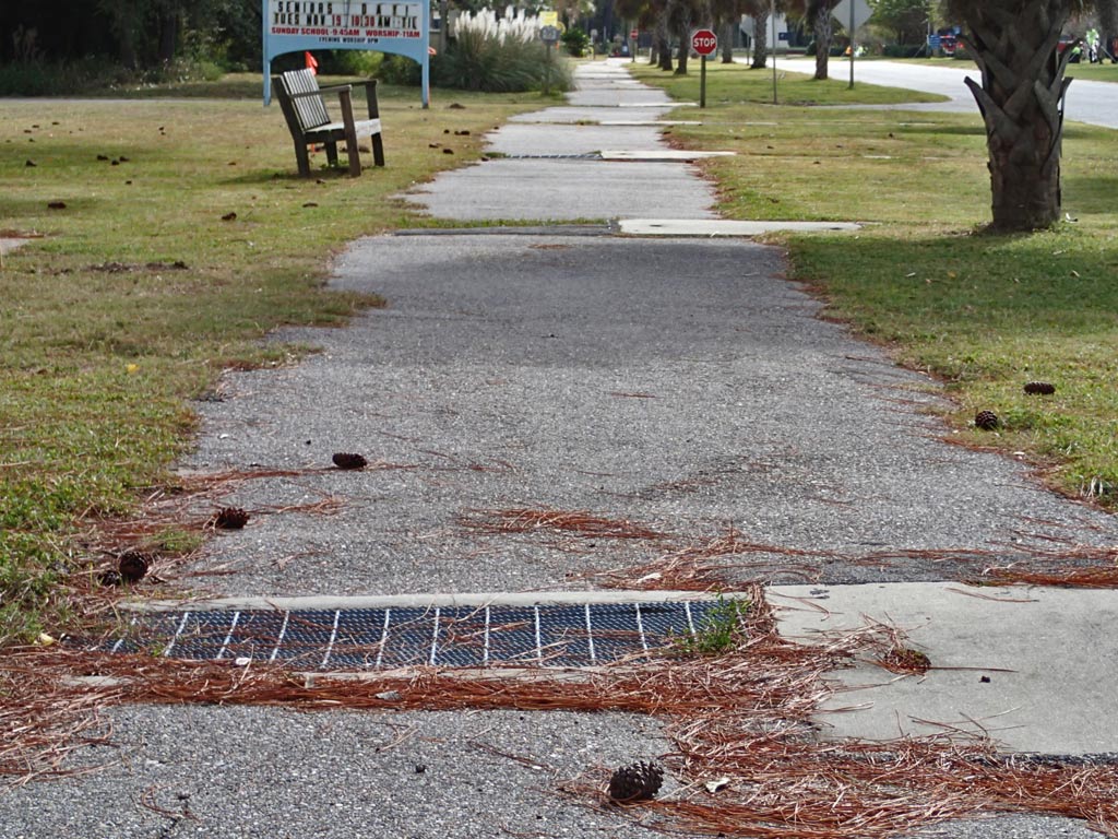
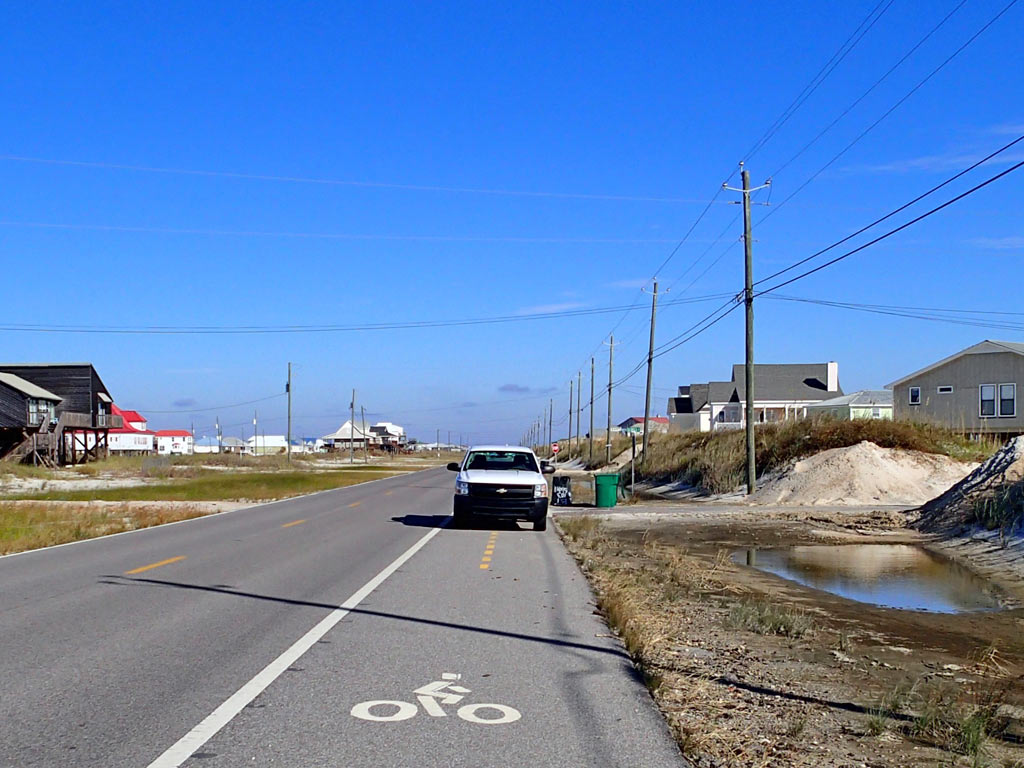
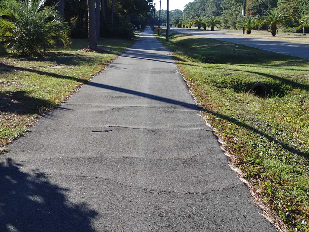
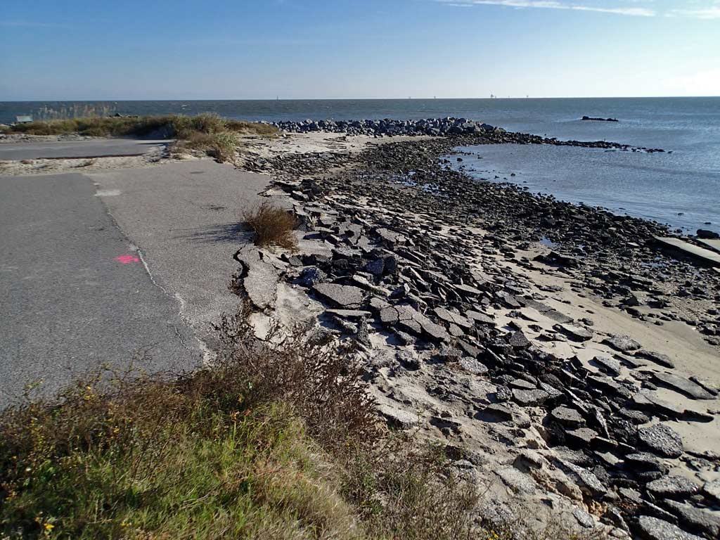
Cons: The trail goes across many many driveways and roads, on average one crossing every 239 feet. That is a lot of crossings to watch out for. The trail width varied from 7 to 9 feet which is less than optimal for a standard multi-use trail. There was a lot of rocks and sand on the bike lane near the west end. Also, there were gouges in the bike lane from heavy equipment work related to past hurricanes. Driveway sand sometimes created humps of sand covering half the bike lane with loose sand causing need to weave around it. Due to the open nature of an island, winds can be strong and tough to ride against. West of Cadillac Square the bike trail had occasional root bumps. High dunes on the south side of the trail block the nice views of the beach houses and Gulf of Mexico. In some places on the trail, grass is growing 1-2 feet over the asphalt. On the Lemoyne Drive Trail, there is a bumpy drainage crossing about every 55 feet for three blocks.
Viewpoint: In a nutshell, yes, I'll be riding the trail again mostly because it is nearby and for the bird watching opportunities. While Dauphin Island's bike trails are less than the optimal ten foot width and are slowly deteriorating, the present bike trails do provide cyclists with entire north-south and east-west access of the island which is much more than most cities provide. Adding to the bicycling enjoyment, most side streets are traffic free and fun places to ride and explore as well. Dauphin Island offers some of the most diverse bird watching and wildflower viewing available especially if you lock the bicycle and walk out on Sand Island. The Dauphin Island bike trail may only be 7.5 miles long but there is a lot to see and do along that 7.5 miles which is why I rate this trail 9 out of 10. If it wasn't for the narrow trail width and the many driveway and road crossings, I'd score this bike trail perfect.
The downloadable GPS track of Dauphin Island's Bike Trails can be found here:
http://www.everytrail.com/view_trip.php?trip_id=2396543
Click on any thumbnail below to bring up a larger view photo gallery with commentary.
Bienville Avenue Trail and Lemoyne Drive Trail
7.5 miles long and 0.8 miles long
(50% Asphalt Bike Lane, 50% Asphalt Bike Trail)
Rating: 9 (out of 10)
166 Driveway/Road crossings (1-Way). That averages 22 crossings per mile which is the highest I've seen.
9 People encountered (Both Ways). That averages out to about 1 person every 2 miles which is very low meaning you get to experience bike trails on a resort island with minimal pedestrian traffic to deal with.
Pros: A 15 mile round trip is a good length for recreational bicyclists. There is a campground along the trail. There were no car barrier posts in the middle of the bike trail. The trail was well marked by both signs and pavement paint. No six inch curbs to cross. There were places to get food and drink along the trail. The trail grade is very flat. No hairpin turns. I didn't see any litter in the ditches. Lodging is available not far from the trail. Not much traffic on the island so it was a quiet ride. There were several parks for car parking. Traffic on the trail was light. I saw lots of benches, picnic tables, and a few shelters along the trail. There is a lot of good scenery and bird watching opportunities. I felt very safe. Garbage cans were abundant along the trail. A bike trail along Lemoyne Drive tee's into the Bienville Avenue Bike Trail. Between that and nice road shoulder, those wanting to bicycle more miles can ride all the way to Bayou La Batre on nice paved shoulder. Bicycling north on Lemoyne Drive from Bienville Blvd about 2.5 miles will get you to the top of a large 90 foot tall bridge giving a nice view of the island. The Adventure Cycling Association's Southern Tier Cross Country bicycle route passes through Dauphin Island.
Cons: The trail goes across many many driveways and roads, on average one crossing every 239 feet. That is a lot of crossings to watch out for. The trail width varied from 7 to 9 feet which is less than optimal for a standard multi-use trail. There was a lot of rocks and sand on the bike lane near the west end. Also, there were gouges in the bike lane from heavy equipment work related to past hurricanes. Driveway sand sometimes created humps of sand covering half the bike lane with loose sand causing need to weave around it. Due to the open nature of an island, winds can be strong and tough to ride against. West of Cadillac Square the bike trail had occasional root bumps. High dunes on the south side of the trail block the nice views of the beach houses and Gulf of Mexico. In some places on the trail, grass is growing 1-2 feet over the asphalt. On the Lemoyne Drive Trail, there is a bumpy drainage crossing about every 55 feet for three blocks.
Viewpoint: In a nutshell, yes, I'll be riding the trail again mostly because it is nearby and for the bird watching opportunities. While Dauphin Island's bike trails are less than the optimal ten foot width and are slowly deteriorating, the present bike trails do provide cyclists with entire north-south and east-west access of the island which is much more than most cities provide. Adding to the bicycling enjoyment, most side streets are traffic free and fun places to ride and explore as well. Dauphin Island offers some of the most diverse bird watching and wildflower viewing available especially if you lock the bicycle and walk out on Sand Island. The Dauphin Island bike trail may only be 7.5 miles long but there is a lot to see and do along that 7.5 miles which is why I rate this trail 9 out of 10. If it wasn't for the narrow trail width and the many driveway and road crossings, I'd score this bike trail perfect.
The downloadable GPS track of Dauphin Island's Bike Trails can be found here:
http://www.everytrail.com/view_trip.php?trip_id=2396543
Click on any thumbnail below to bring up a larger view photo gallery with commentary.


 RSS Feed
