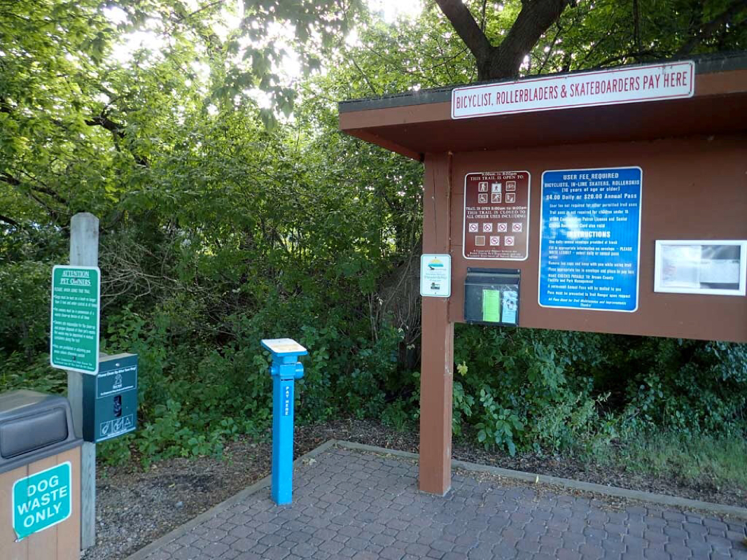
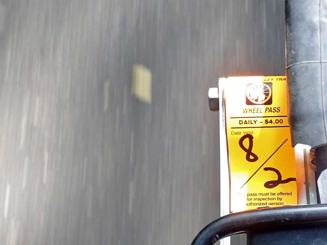
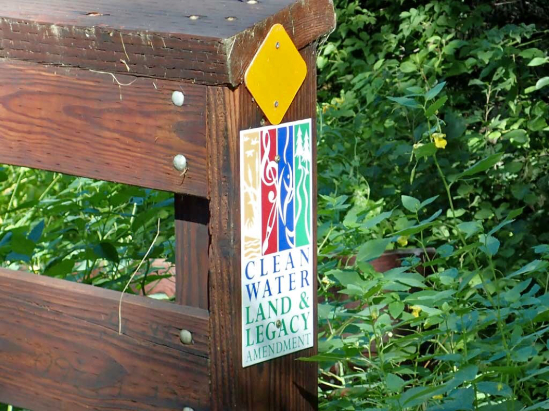
$4 Daily Use Fee for the Fox River Trail
Geese fecal matter issues
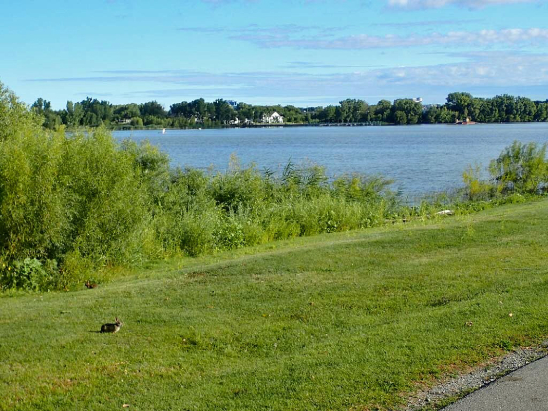
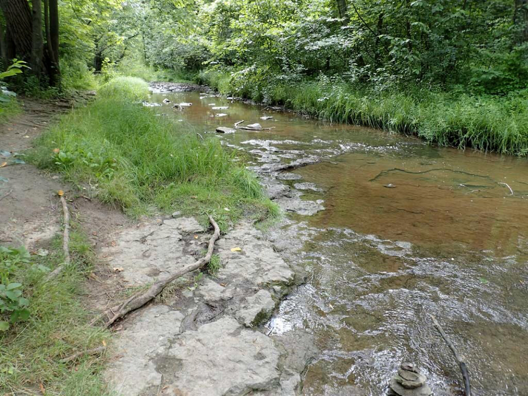
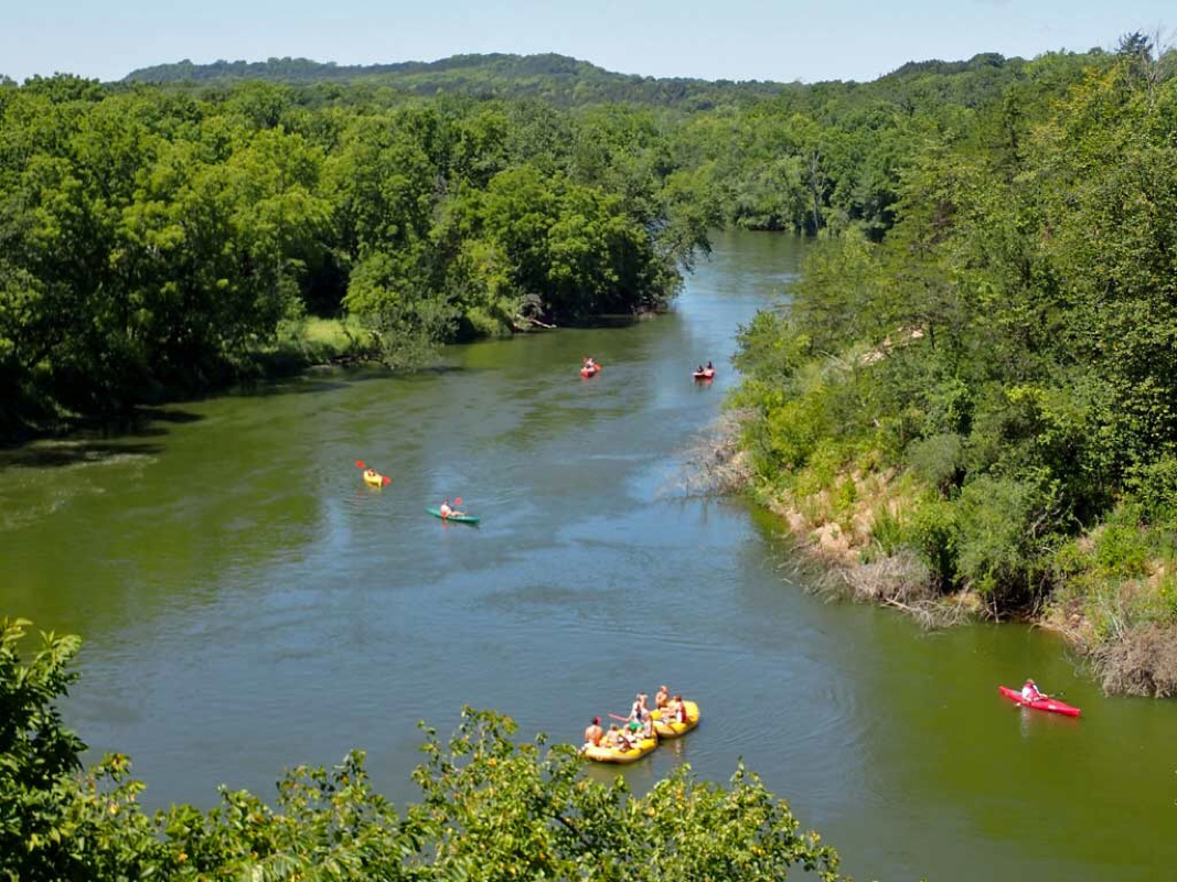
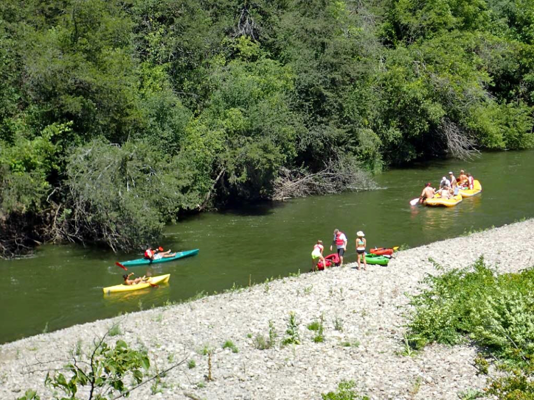
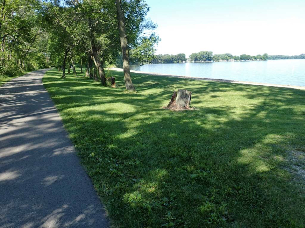
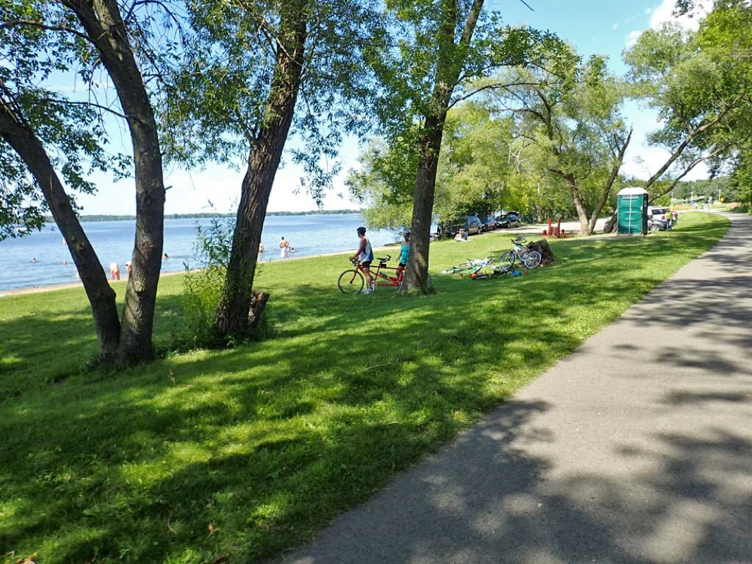
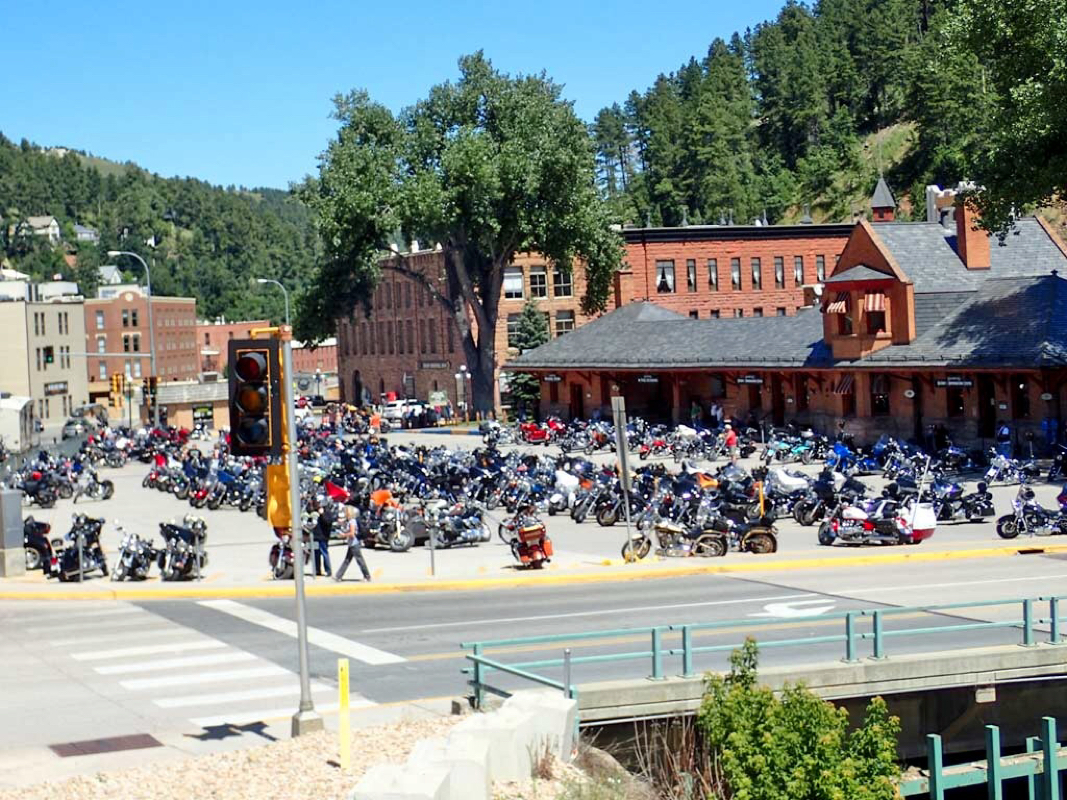
Fox River visitor
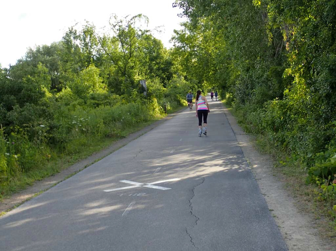
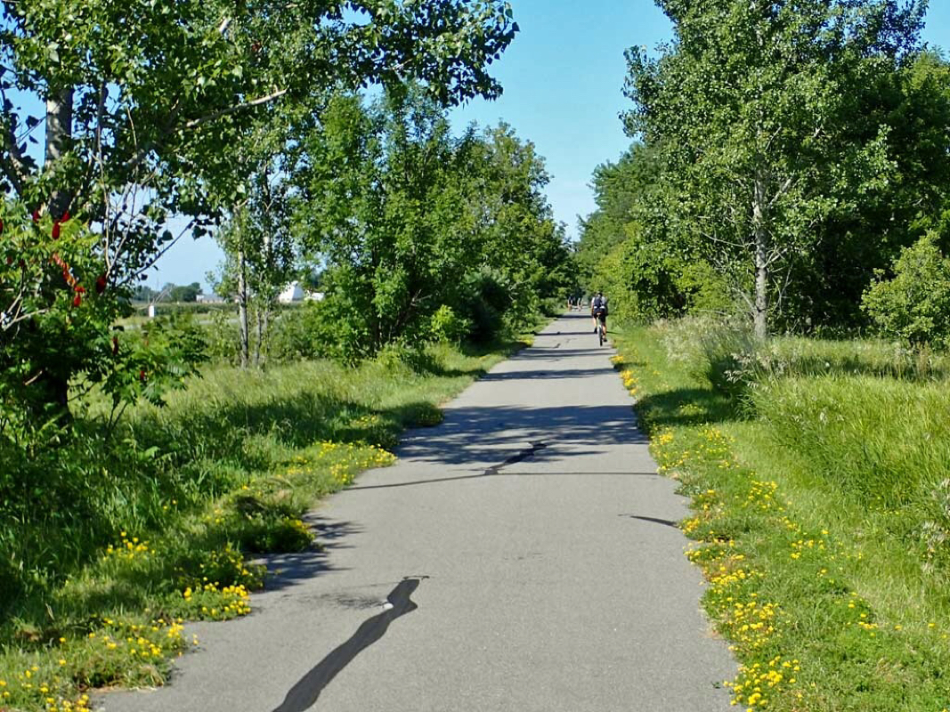
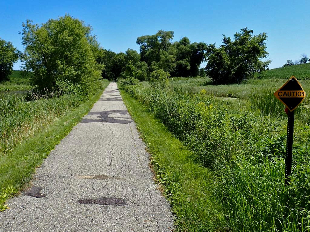
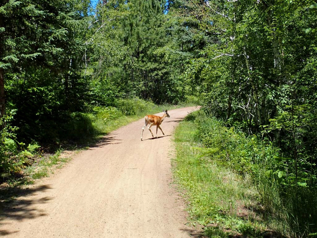
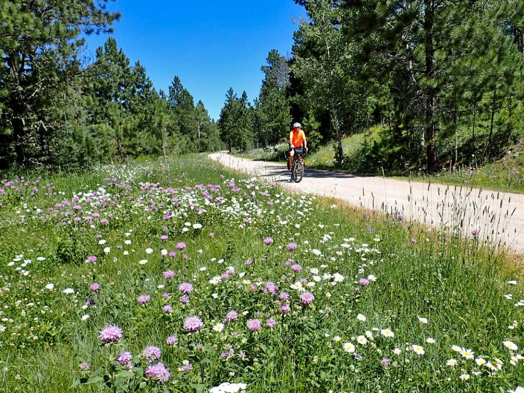
Girl skating at 14 mph. Trail is popular and well used
Trail goes through yards
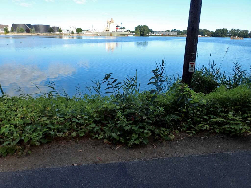
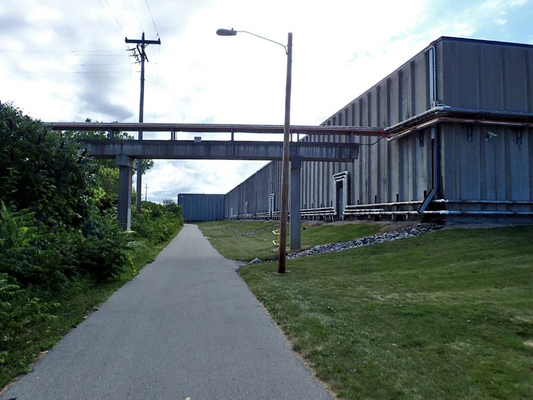
Tank storage and big ships just like Mobile.
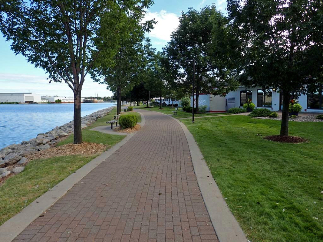
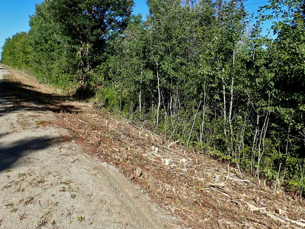
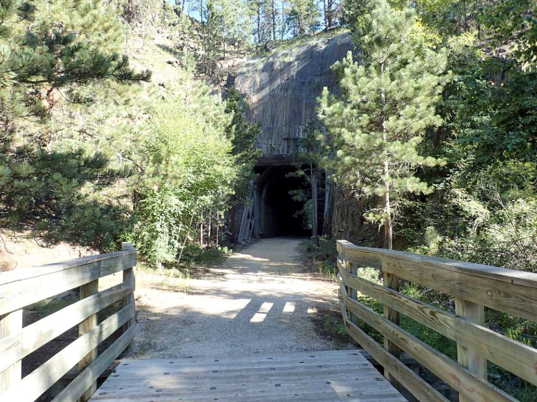
Trail turns to bricks
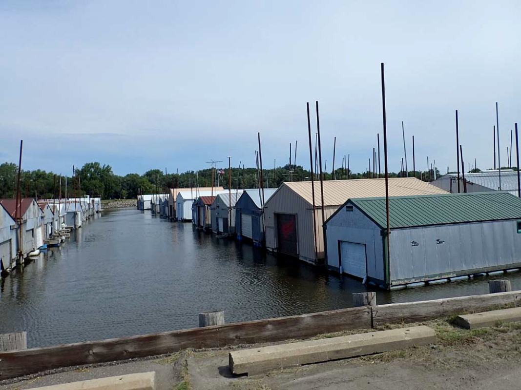
Shipping docks.
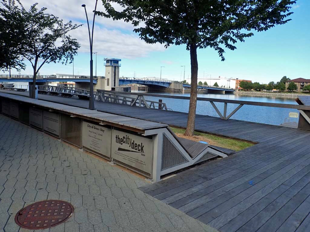
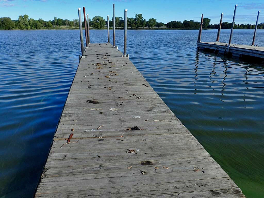
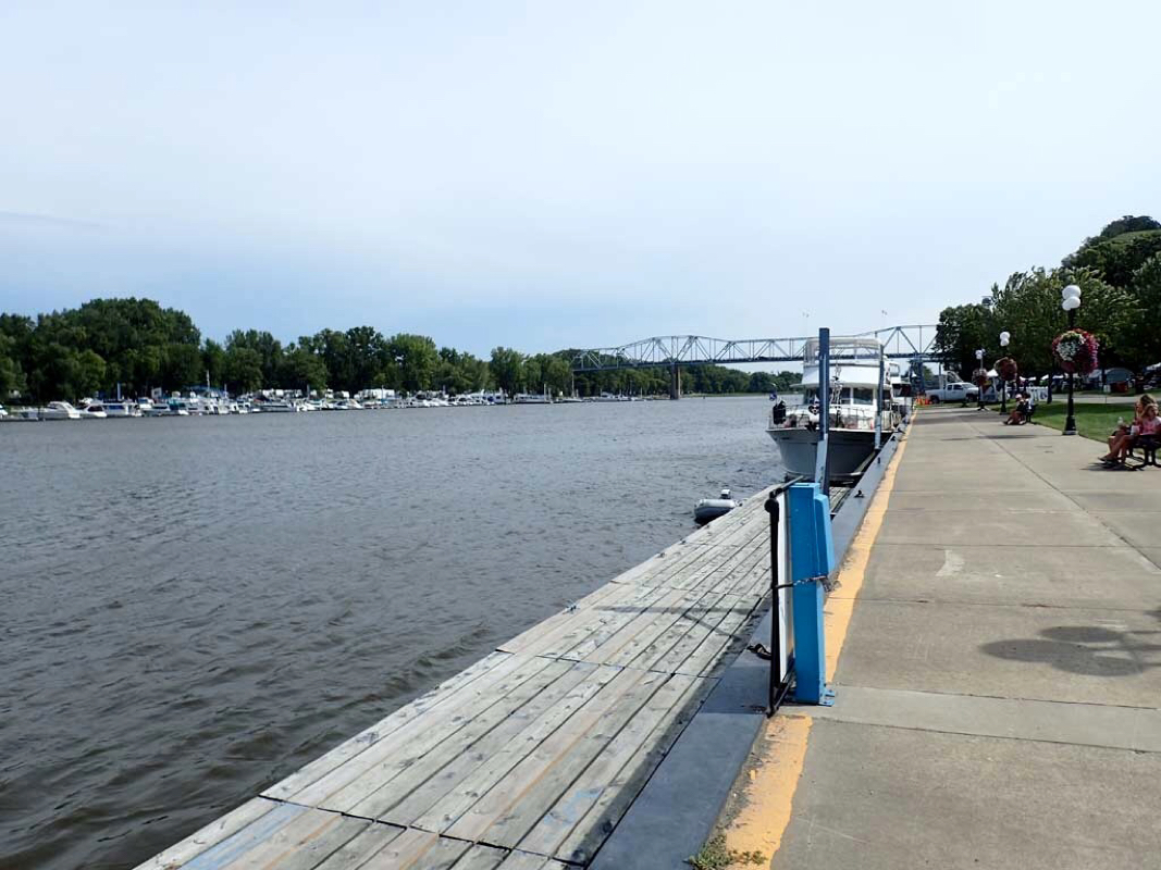
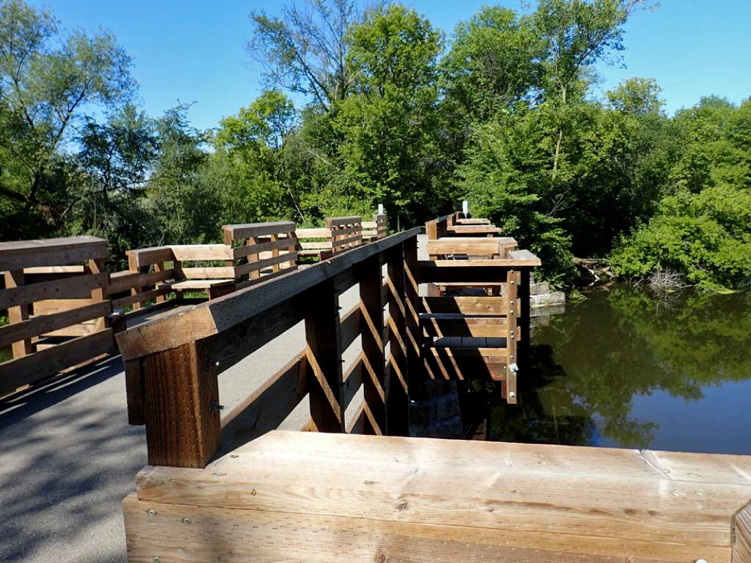
City docks for pedestrians along Fox River
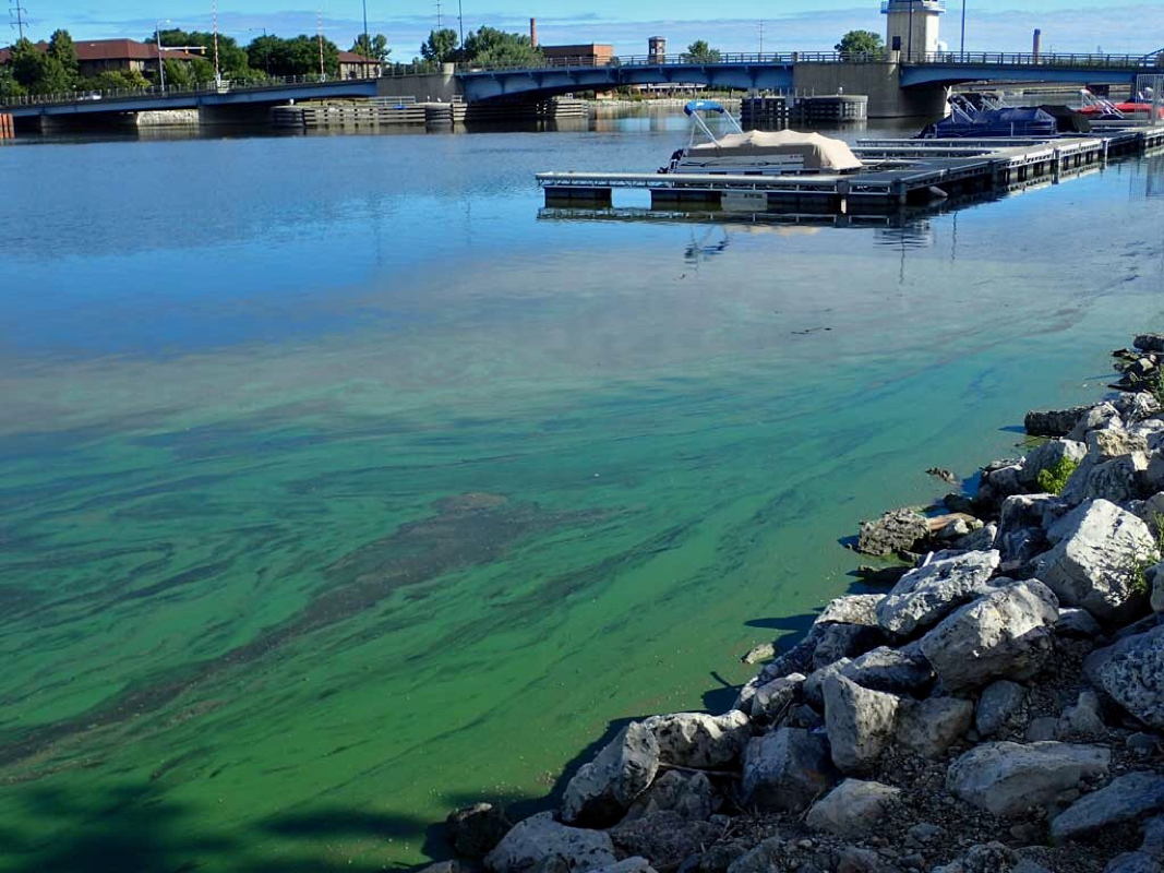
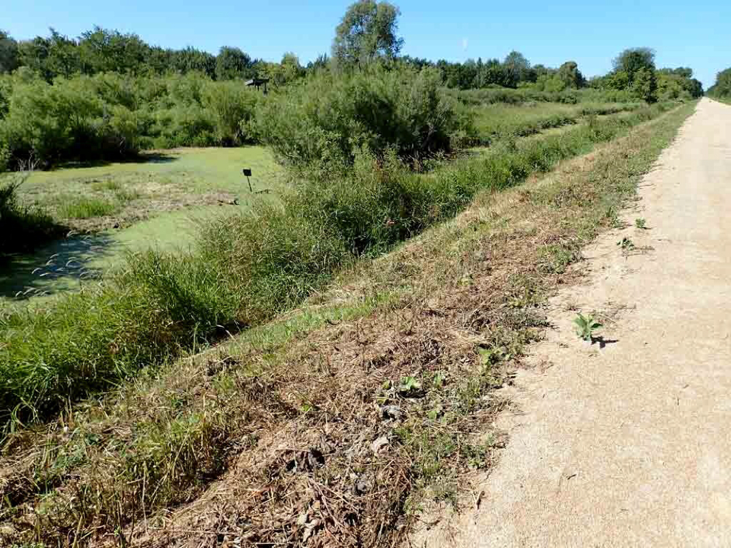
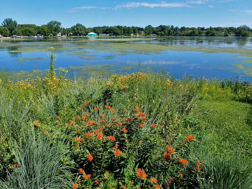
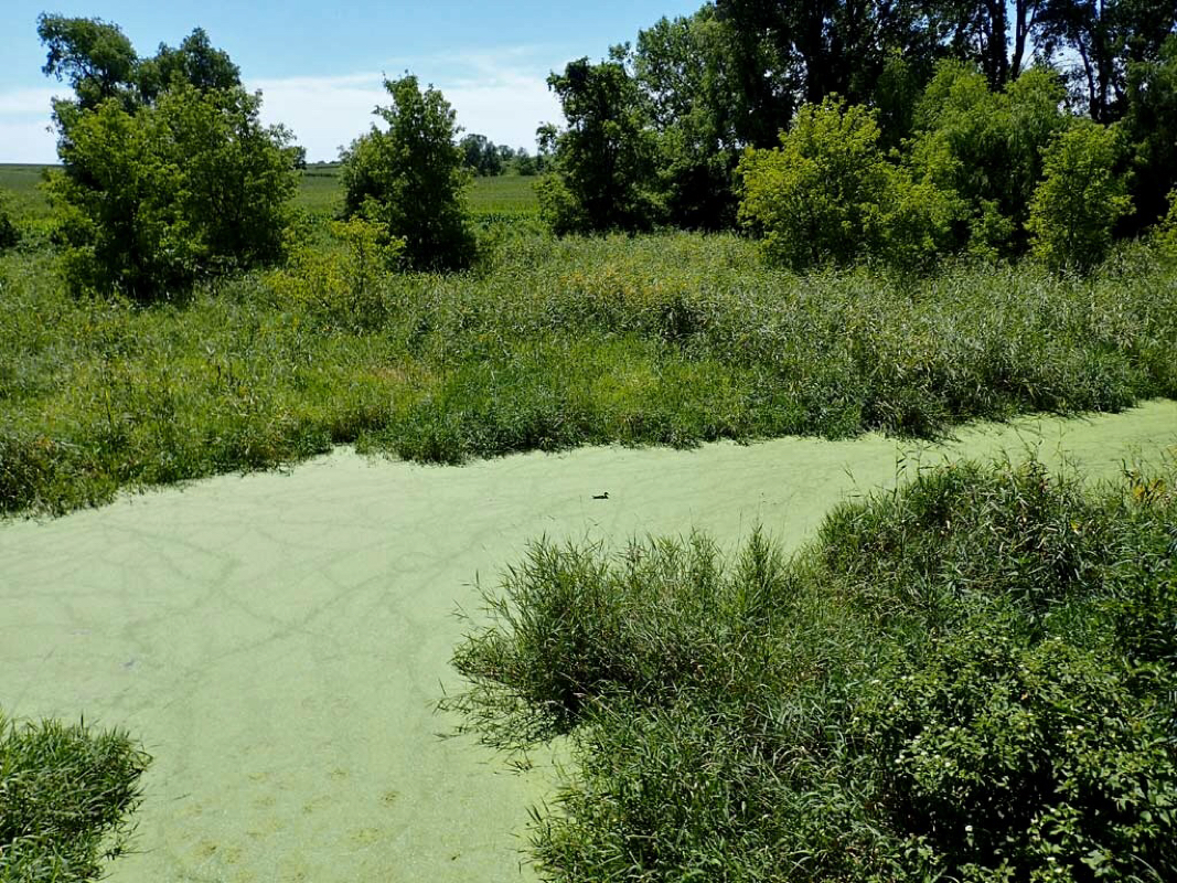
Algae bloom allegedly from upstream farming.
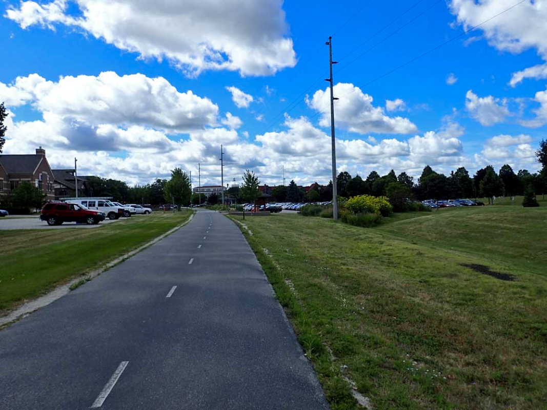
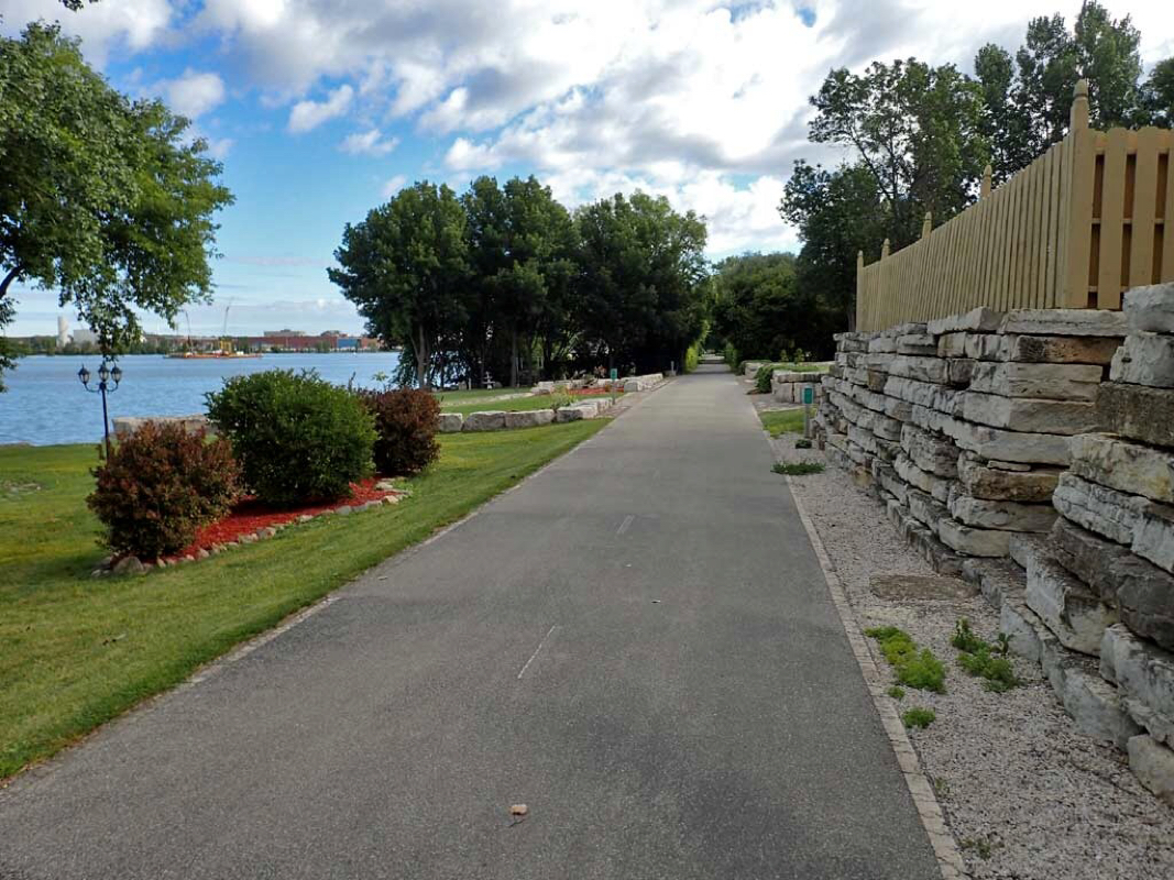
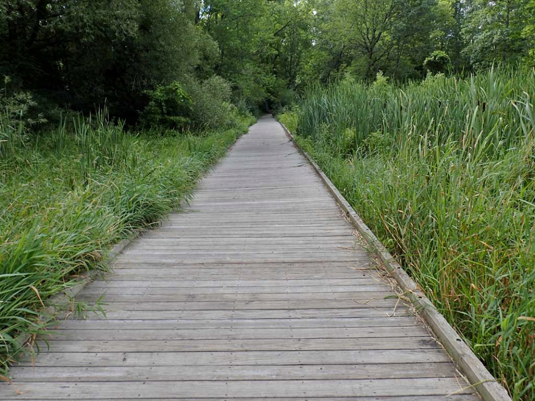
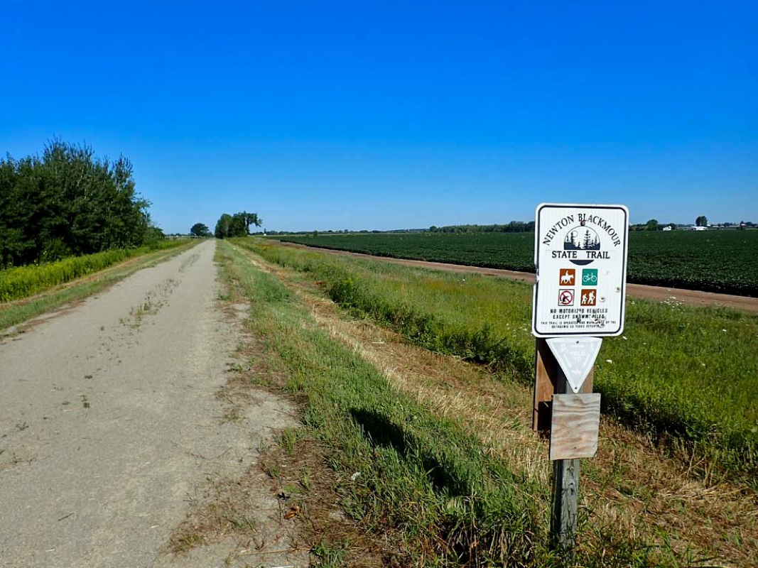
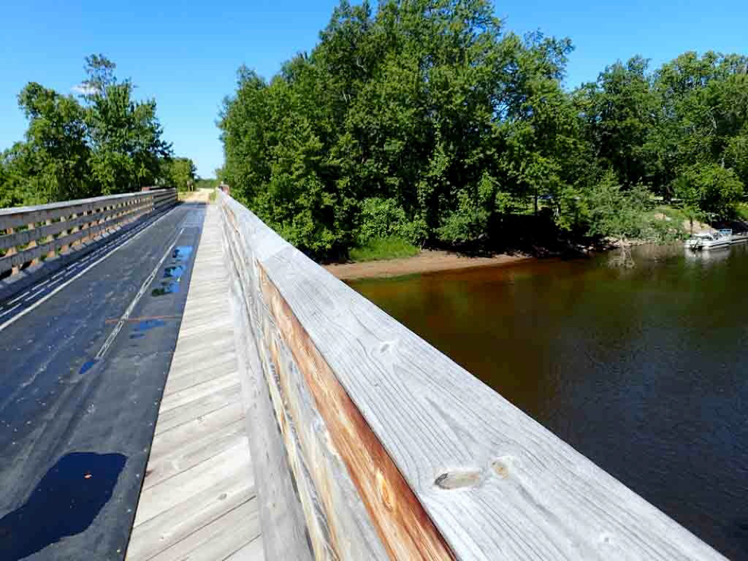
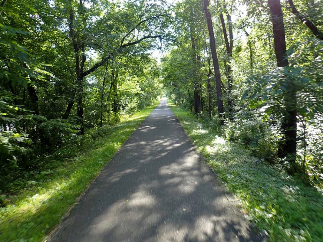
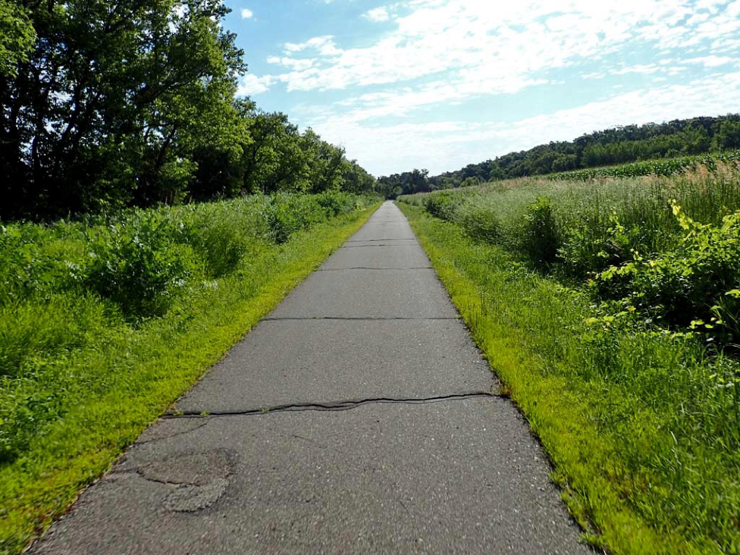
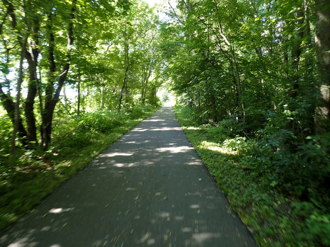
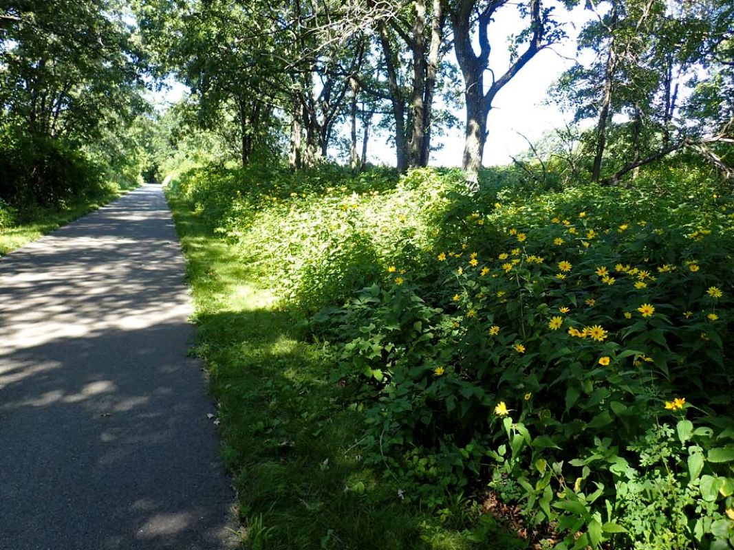
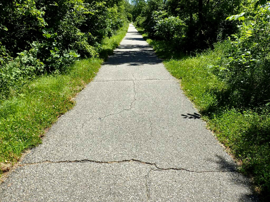
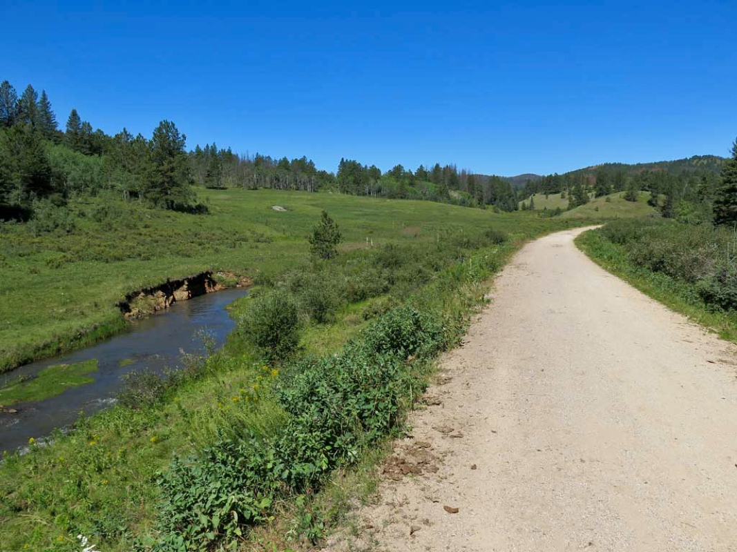
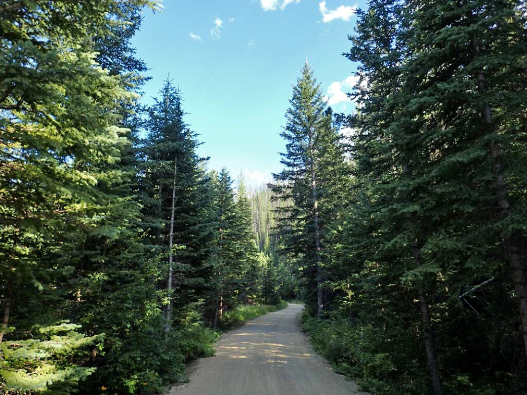
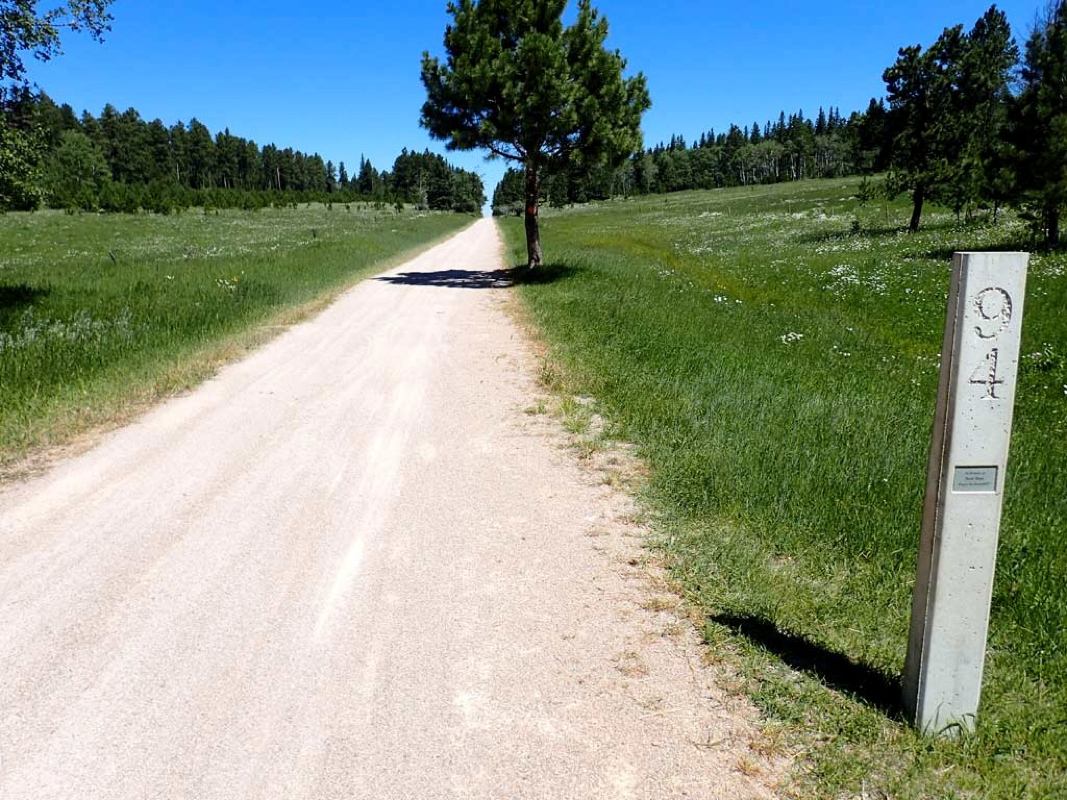
Paved 2 lane highway for non motorized users only.
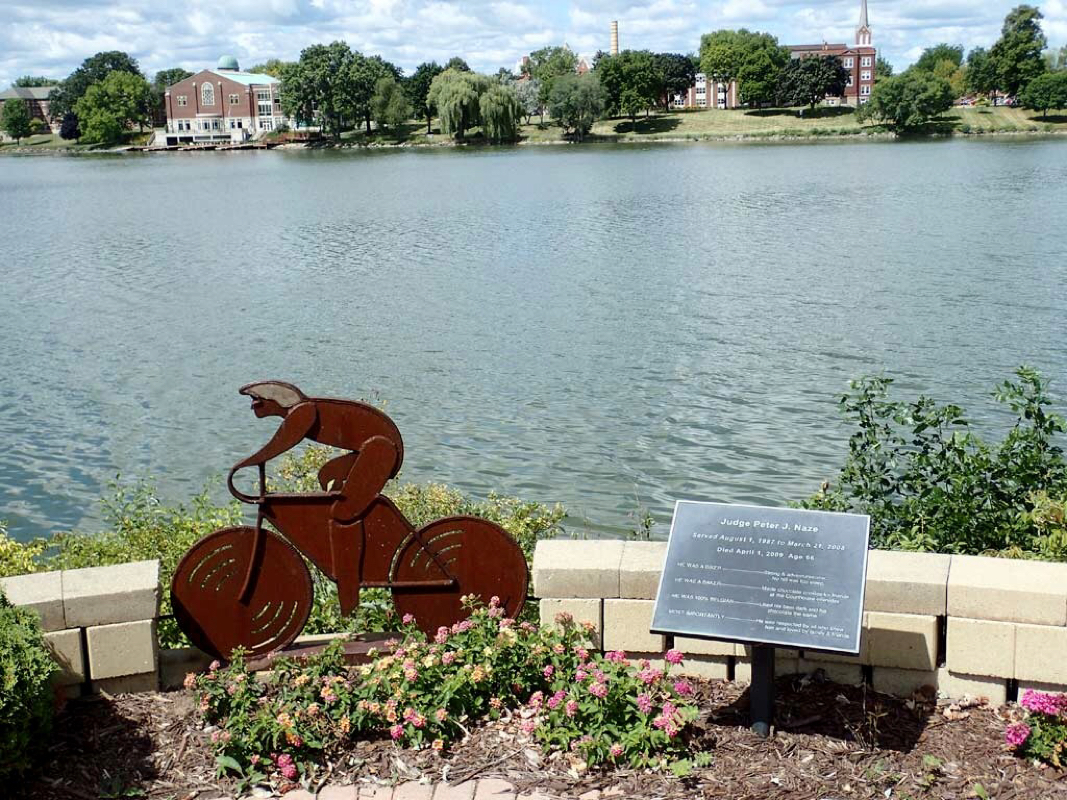
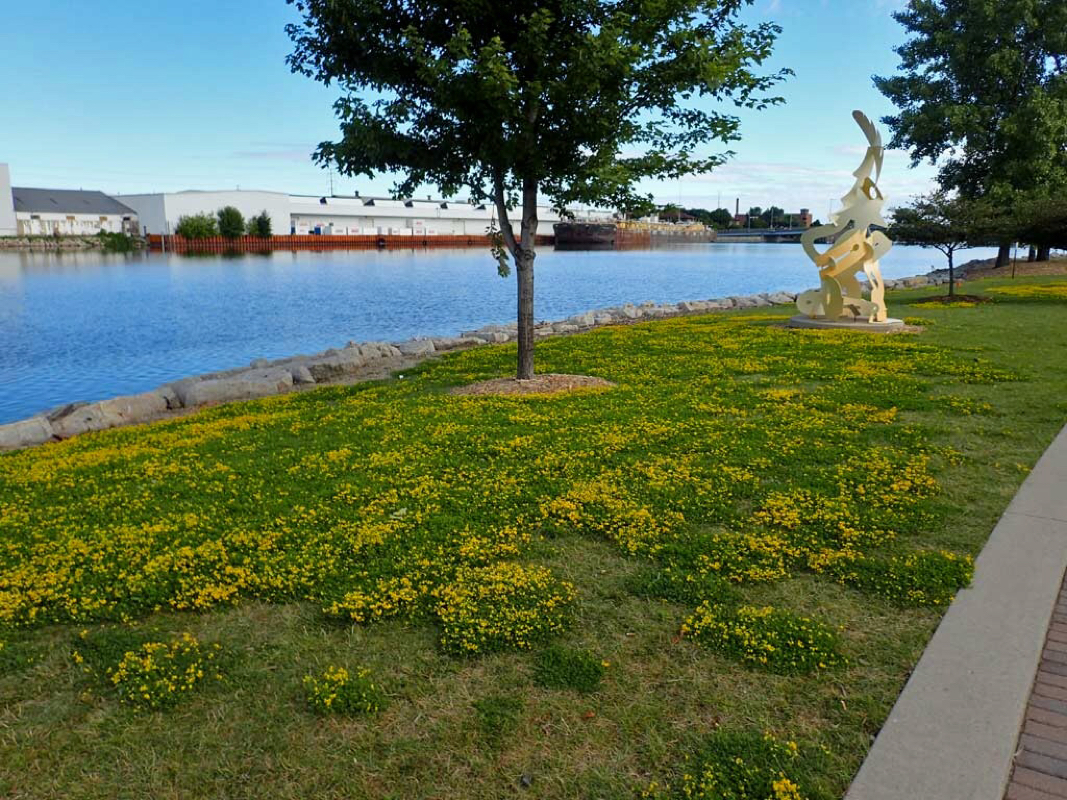
Bicycle sculpture
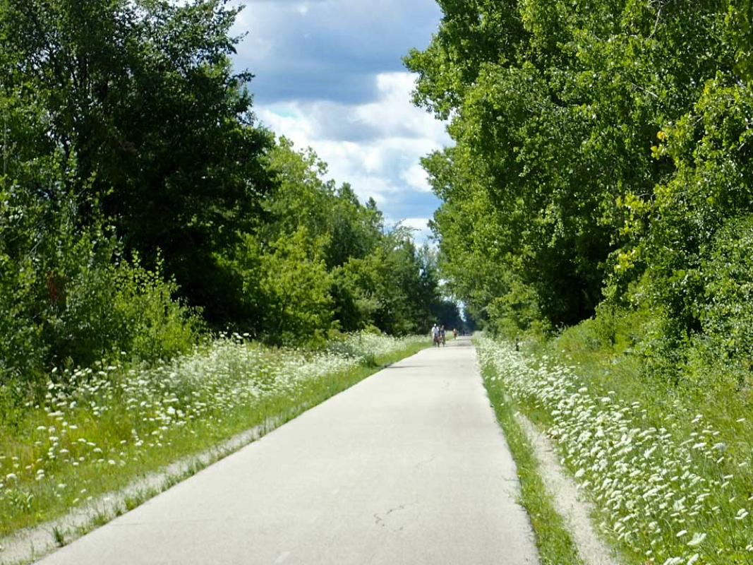
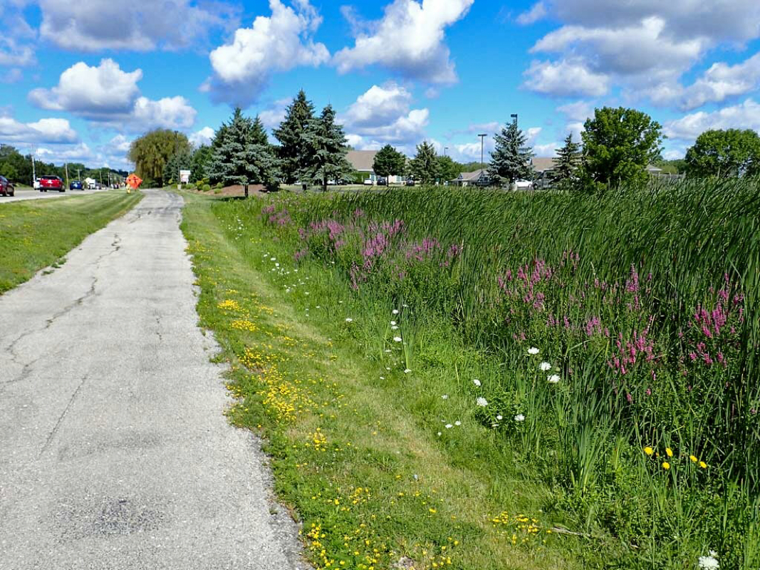
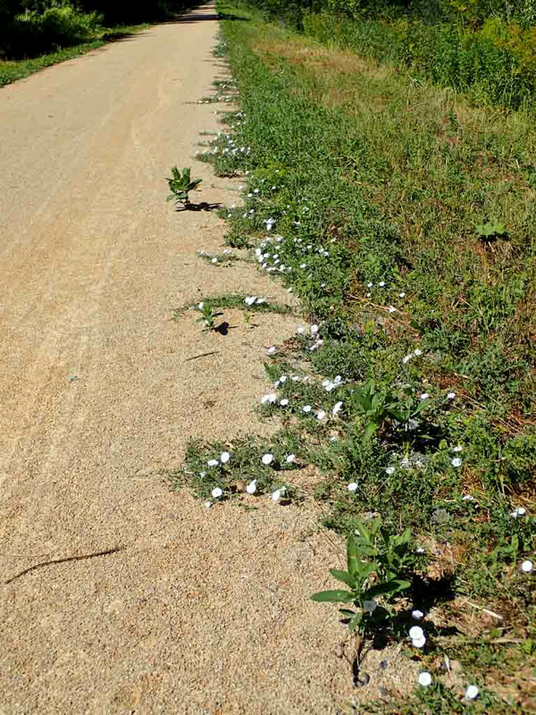
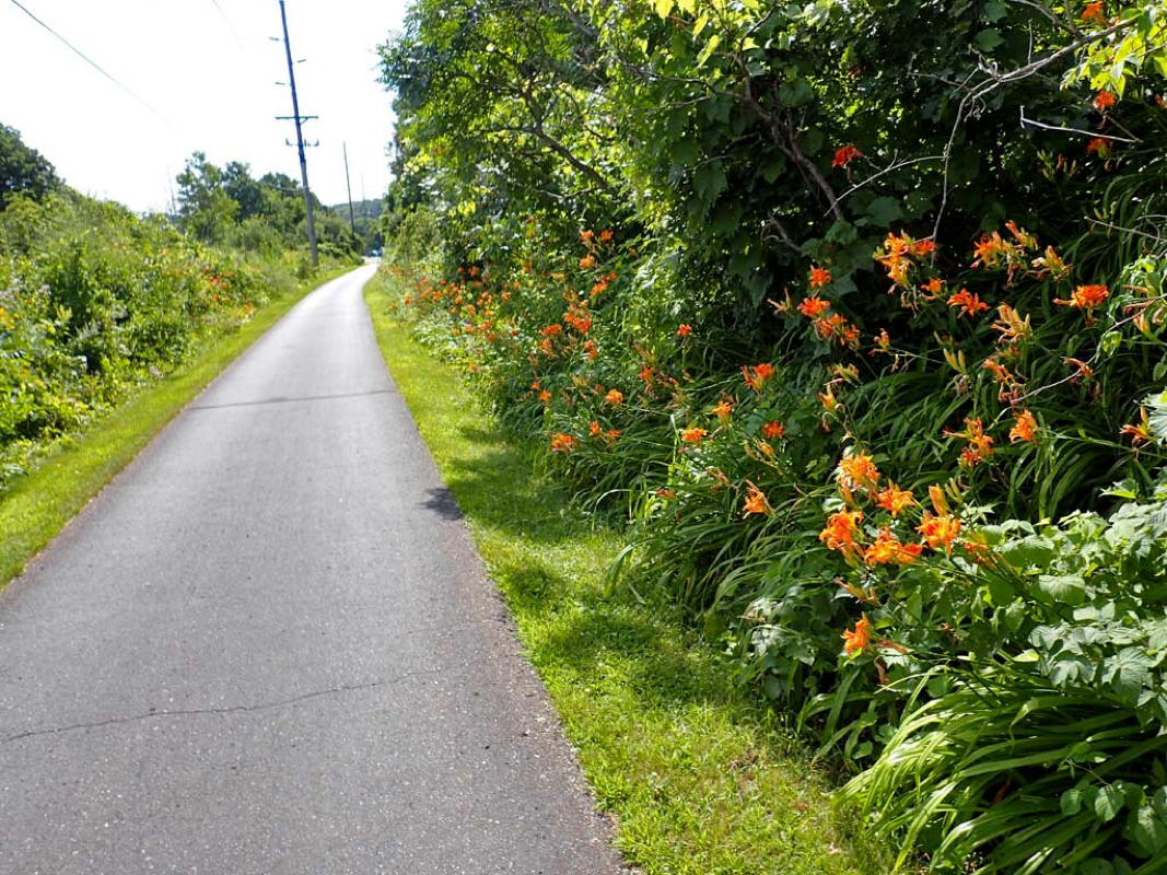
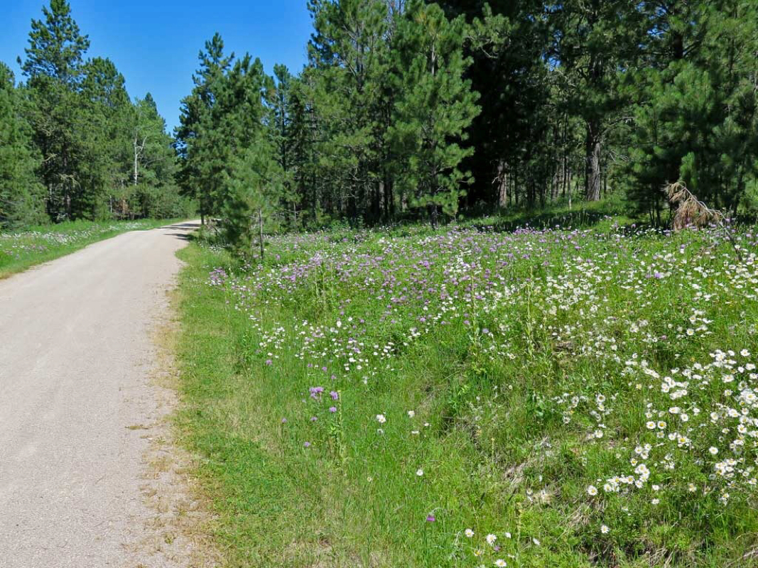
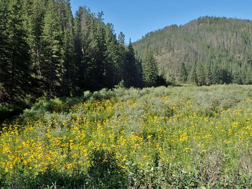
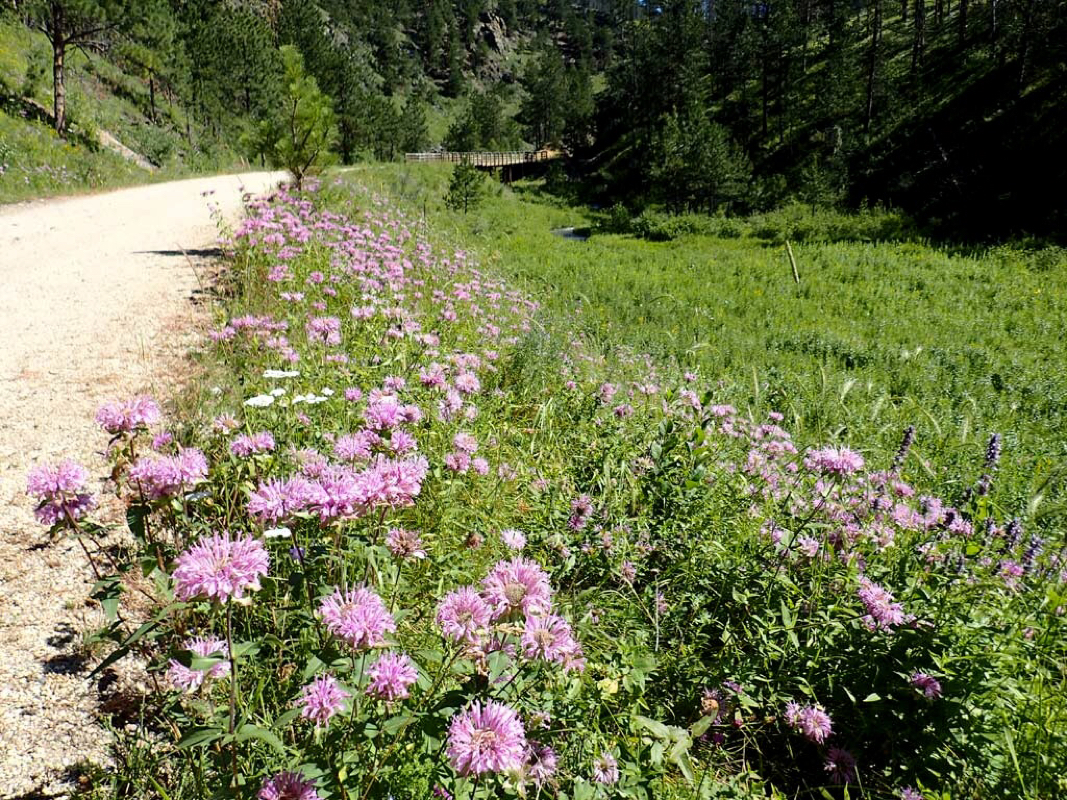
Trail side wildflowers.

Trail side memorial.
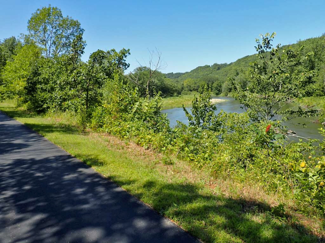
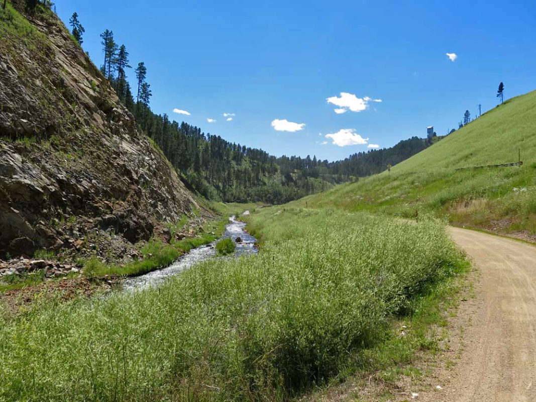
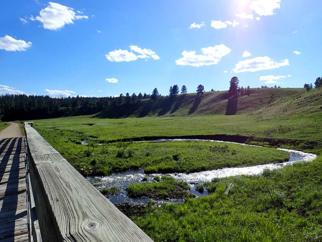
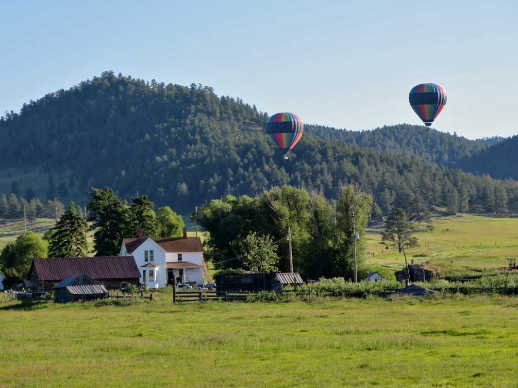
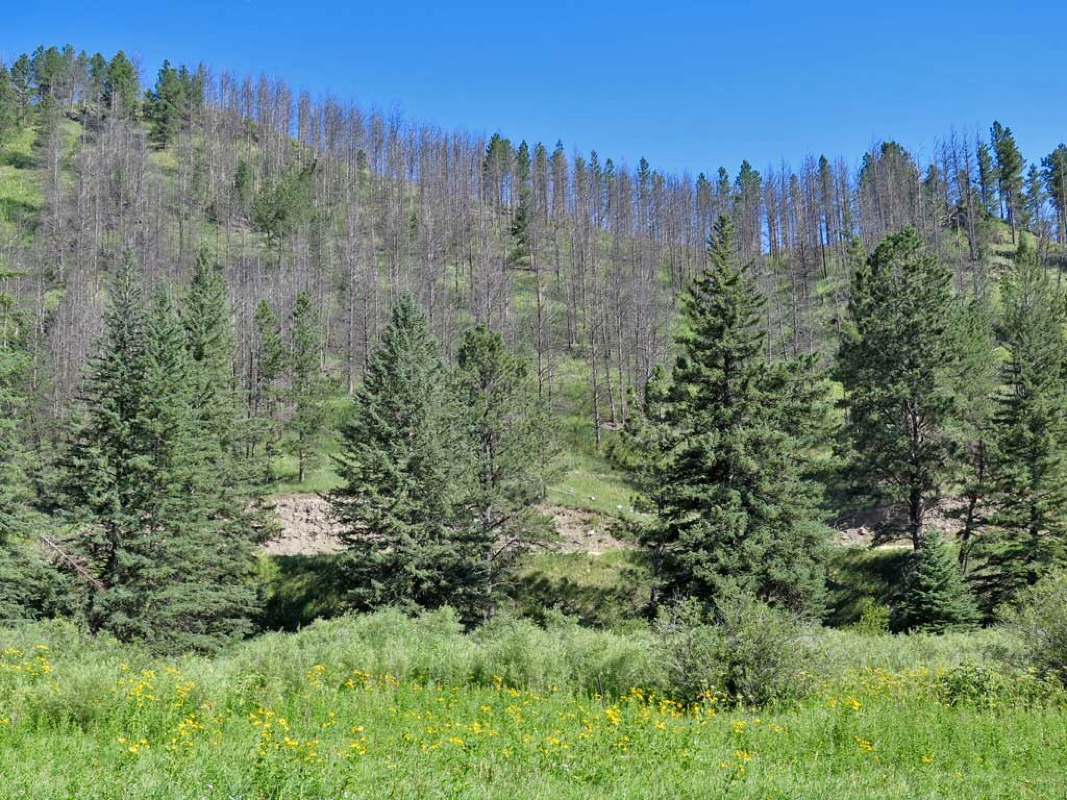
Beautiful day.
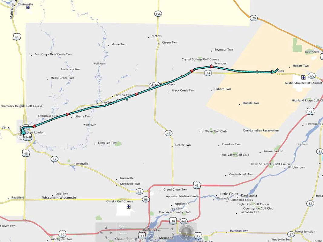
These photos are taken along the Fox River Trail. I was forced to turn around about 10 miles early due to a harsh ammonia smell in the air related to a nearby farm spreading something rotten in a huge field. I rode about a mile along the field and the smell would not go away so I turned around to get away from the burning ammonia smell.
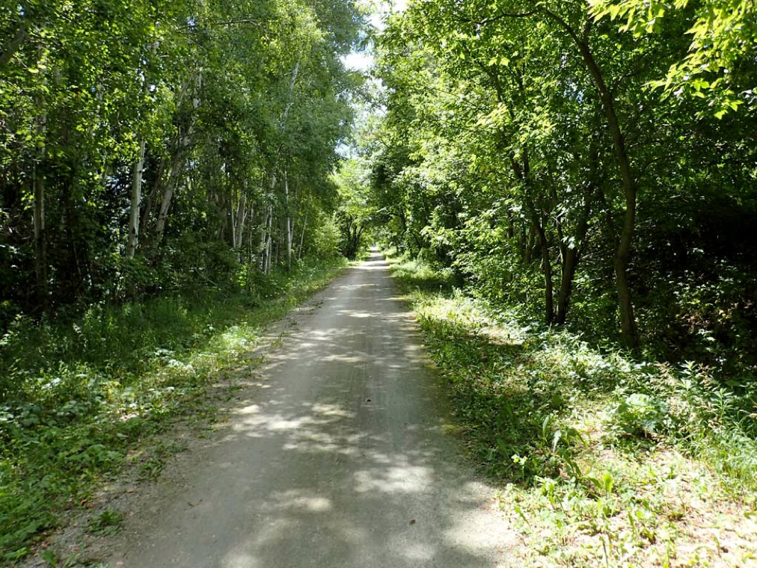
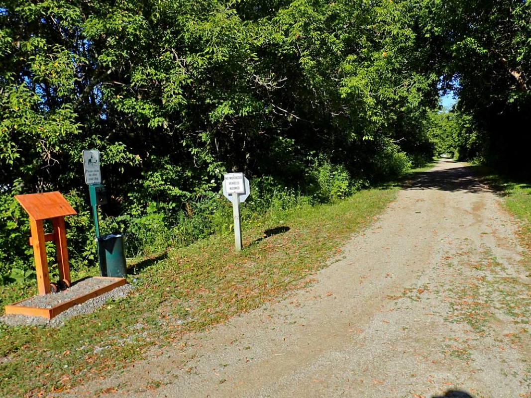
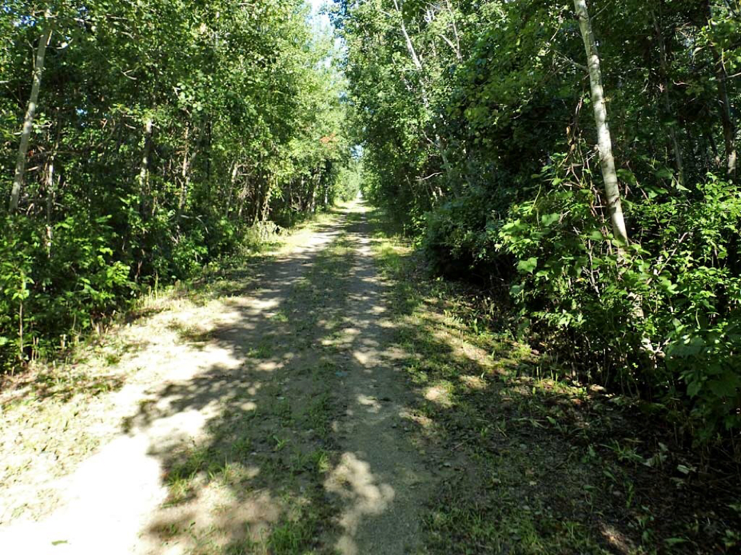
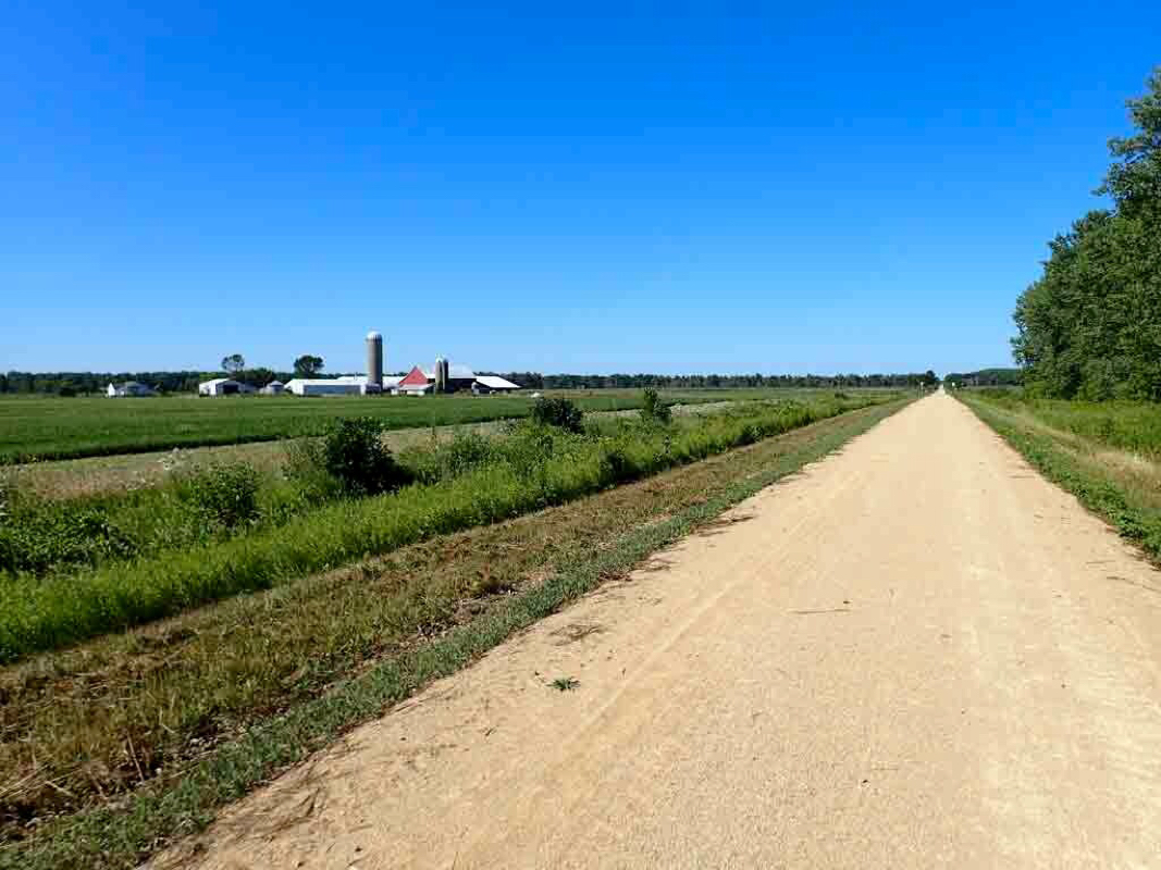
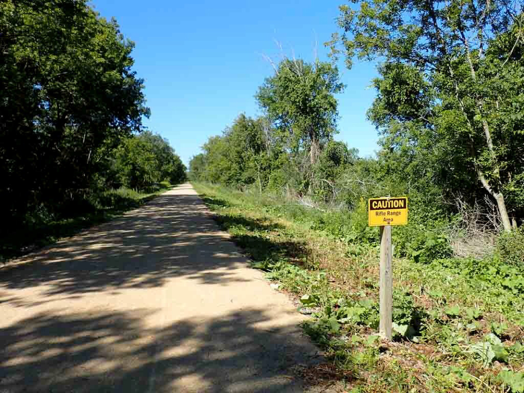
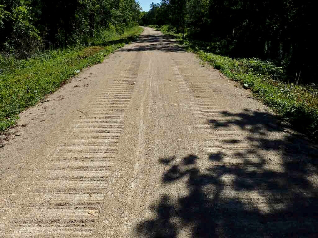
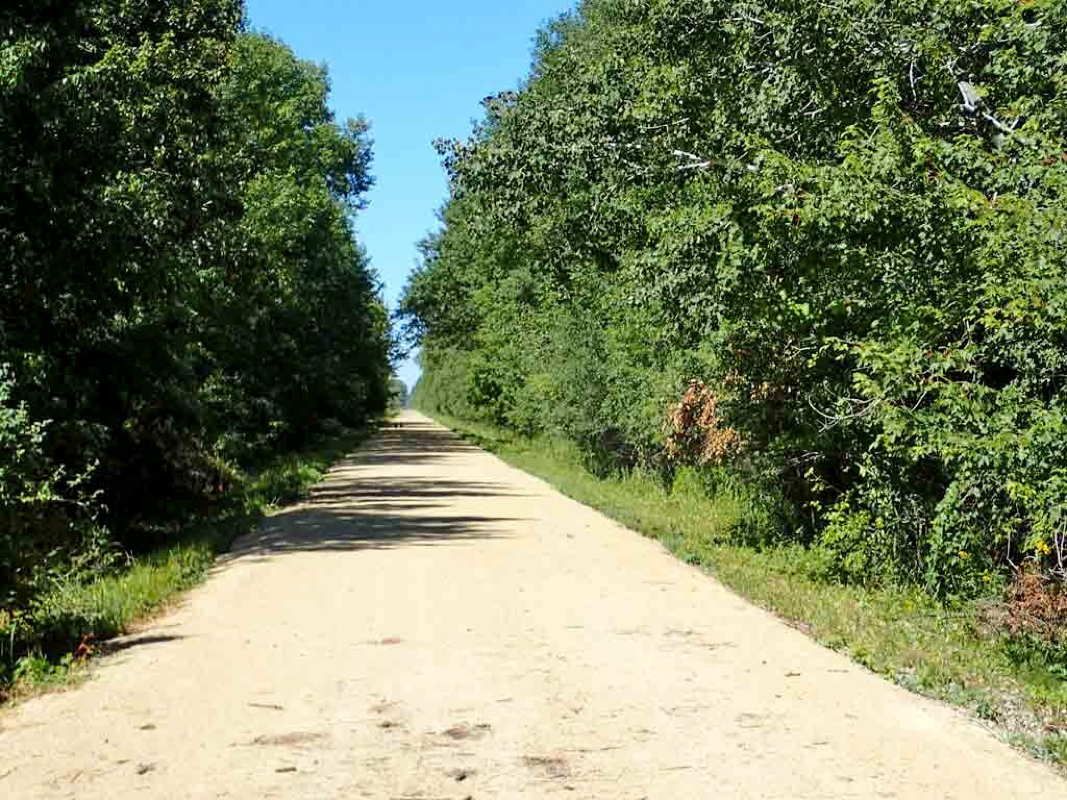
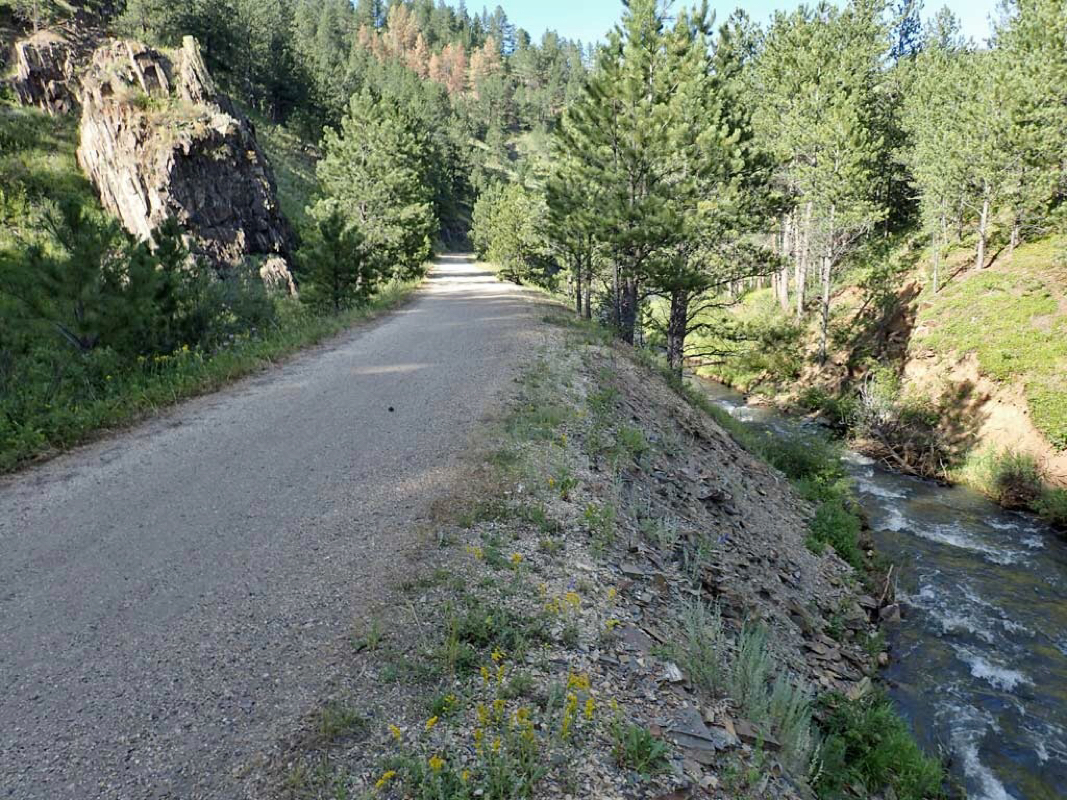
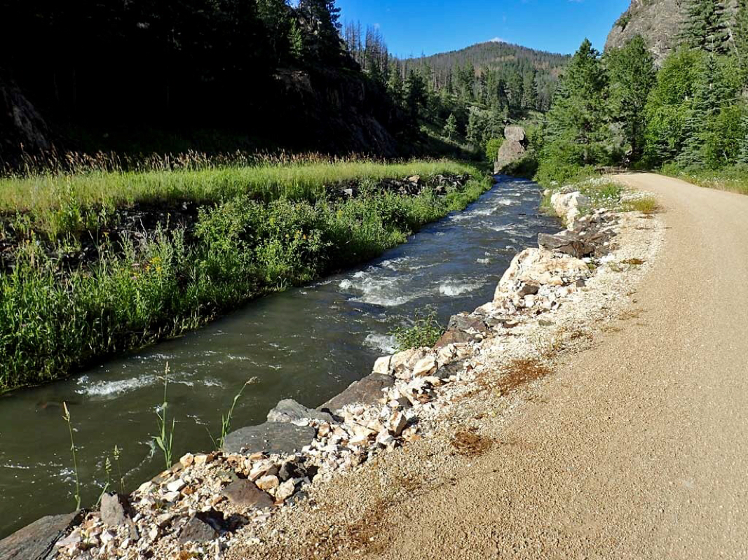
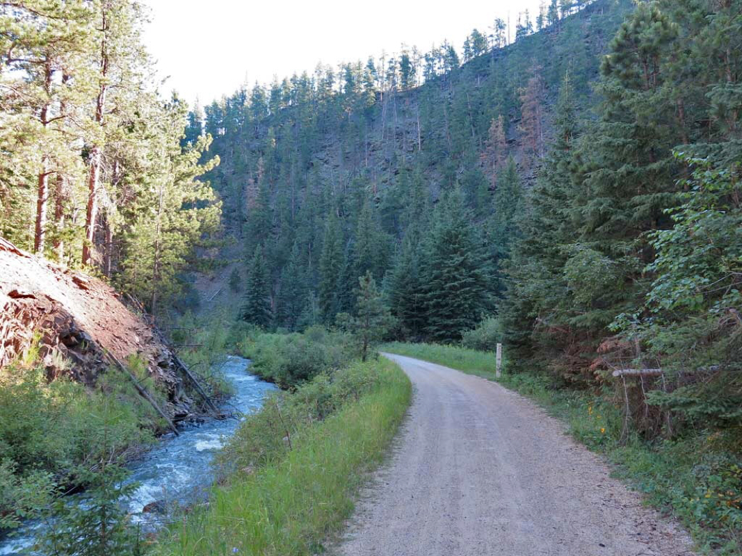
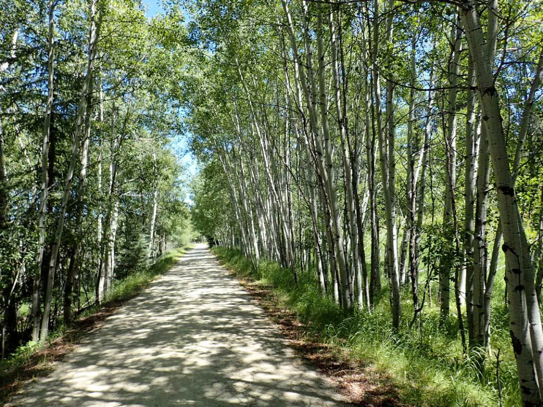
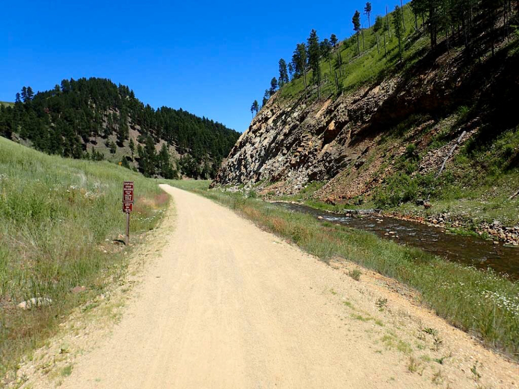
Fox River trail eventually turns to smooth crushed limestone or gravel.


 RSS Feed
