

Cranberry Tri-Rivers Trail
Holcomb, WV to Allingdale, WV
10 Miles (20 Miles Round Trip).
A 130 feet climb over 4 miles.
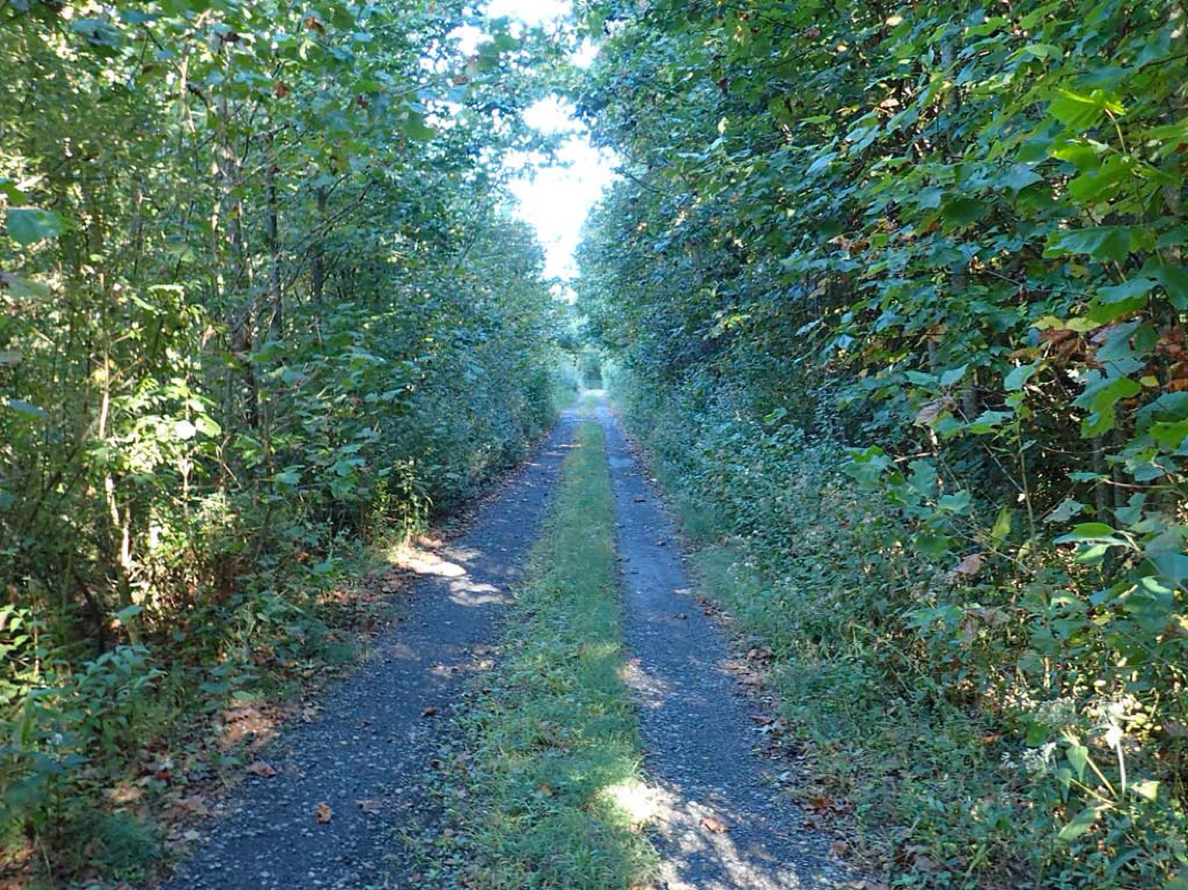
Flat railroad grade (1%).
Worst Grade: About 1.5 Percent.
Number of intersections: 1.
Number of people passed on the trail: 0.
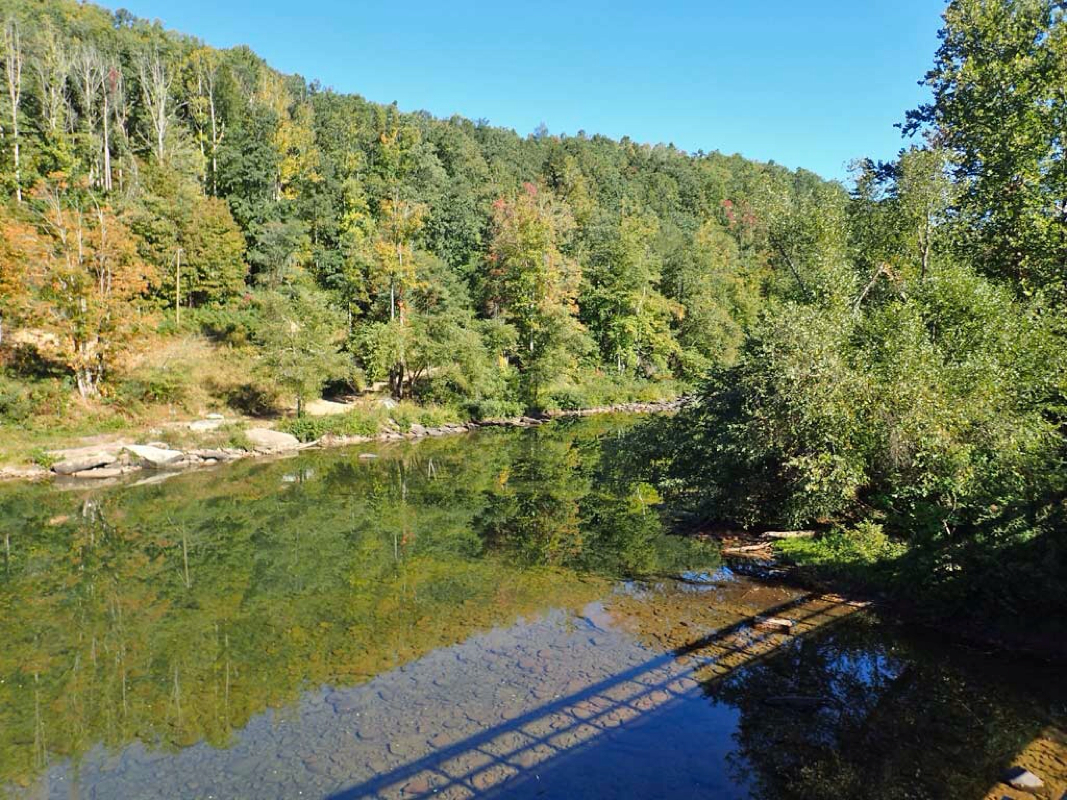
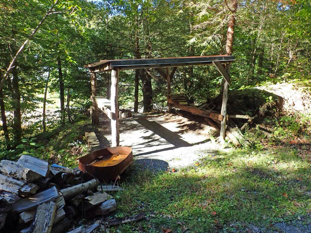
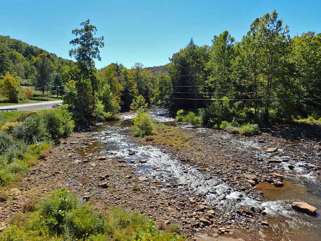
Pros: Remote trail with only one roadway intersection at the start. Trail follows Cherry and Gauley rivers and crosses the Cranberry River and goes through one tunnel. Very quiet once past Hwy 20. Lots of wildflowers. One camping shelter stocked with firewood. A couple of nice open views of the nearby mountains.
Cons: The unpaved trail not very well maintained but then again, it is not a well used trail either. Dense canopy mostly hiding views of the river and mountains. Vegetation including thorny vines encroaching on the riding part of the trail. A few larger rocks, dips, and standing water puddles on the trail to avoid. Difficult to ride side by side on the trail. No bathrooms at trailhead or along the trail. No nearby store to get snacks, water or food. No mile markers. A rough lumber bridge you should walk across.
Hindsight: Rode the Cranberry trail with Bill who lived nearby and who I crossed paths with on the two previous day rides along Greenbrier River. The Trail Guide mentions littered yards and dog chases for the first 6 miles of the trail from Richwood, WV to Holcomb, WV, so I avoided riding the first 6 miles. The trail on the north end kept on going after passing the end according to Rails-Trails data. I should have allotted more time to keep riding to see where the trail really ended but this was a traveling day to drive to another city so I planned to ride Cranberry since it was a short trail.
Ratings: (1-5 scale, 5 being best)
Trail: 3 (A little smooth, a little bumpy.)
Critters: 4 (You'll likely see critters on this ride.)
Scenery: 2 (Not much change in the Dense Canopy scenery.)
 RSS Feed
